Hiking Around Las Vegas, Mojave National Preserve
 Essex Road exiting Interstate 40 (view N) |
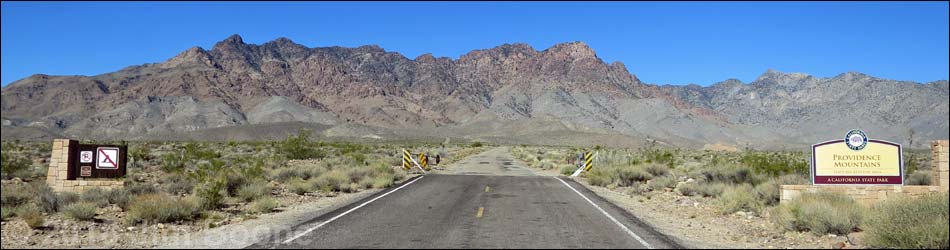
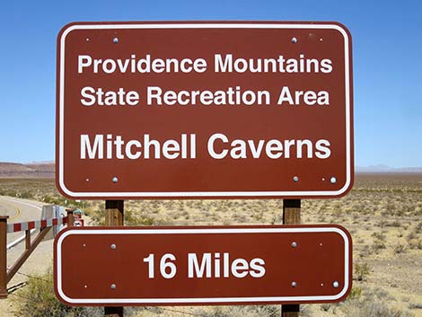
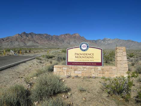
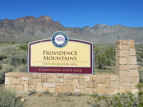
Overview Essex Road is the main road that connects Interstate 40 with Providence Mountains State Park, which includes Mitchell Caverns. The road is generally straight and smooth, but there are some curves and a few potholes, especially in the State Park. From the interstate to the boundary of the state park, Essex Road generally is well maintained, but it is subject to desert flash floods and parts of the pavement may be missing where it crosses washes. Inside the state park, the road is heavily potholed with considerable amounts of bumpy cold-patch. Essex Road provides access to Providence Mountains State Park, which includes Mitchell Caverns, plus Black Canyon Road , which provides access to the Hole-in-the-Wall area of Mojave National Preserve. For Essex Road southbound, see Essex Road - Southbound. Link to map. |
 Essex Road approaching Interstate 40 highway fence (view N) |
Watch Out Other than the standard warnings about being in the desert, ... Essex Road generally is well maintained and passable in sedans, but the road is subject to washouts. While out in the desert, please respect the land and the other people out there, and try to Leave No Trace of your passage. Also, the area is remote, so be sure to bring the 10 Essentials. |
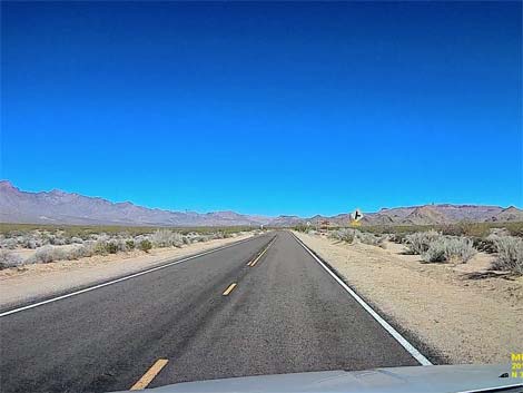
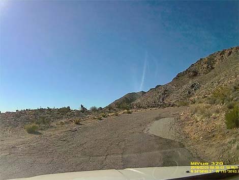
 Essex Road at cattle guard and directional sign (view N) |
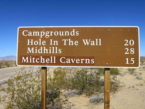
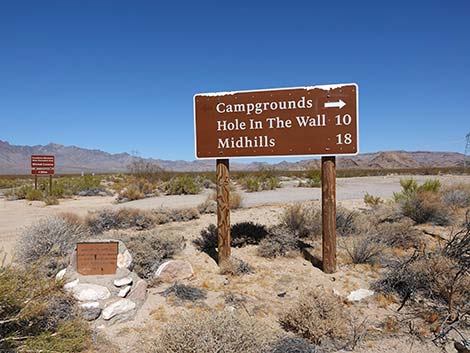
Getting to Essex Road Essex Road is located at the south end of Mojave National Preserve, about 2.5 hours south of Las Vegas. From town, drive south on I-15 into California to Nipton Road (Table 1, Site 1008). Turn left onto Nipton Road and drive east 3.6 miles. Turn right onto Ivanpah Road (Site 1264) and drive south 3.2 miles. Turn right onto Morningstar Mine Road (Site 1265) and drive southwest 15 miles to Cima (Site 0832), where the road crosses railroad tracks and continues as the Kelso-Cima Road. Continue 4.6 miles on Kelso-Cima Road. Turn left onto Cedar Canyon Road (Site 0832) and drive east 6.0 miles. Turn right onto Black Canyon Road (Site 0833) and drive south 9.2 miles on the dirt to Hole-in-the-Wall, then continue south on the pavement for 10.1 miles to a T-intersection with Essex Road (Site 0845). From the south, exit I-40 onto Essex Road (Site 1474). Drive north on Essex Road. |
 Sign at I-40 highway fence (view N) |
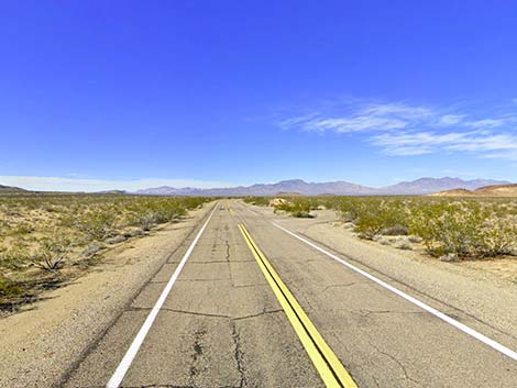
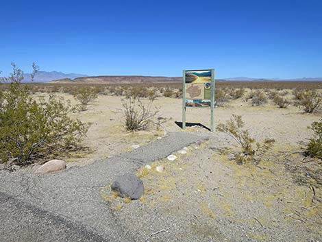
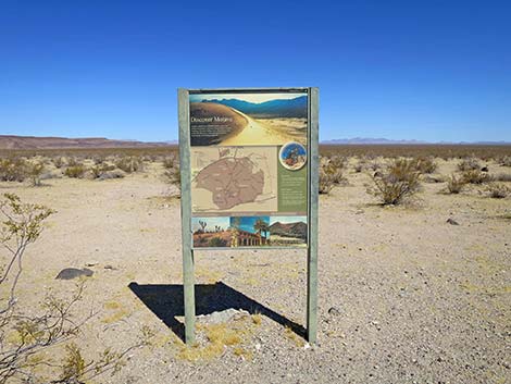
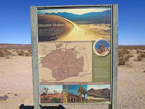
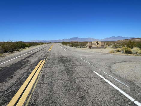
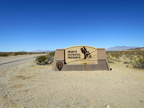
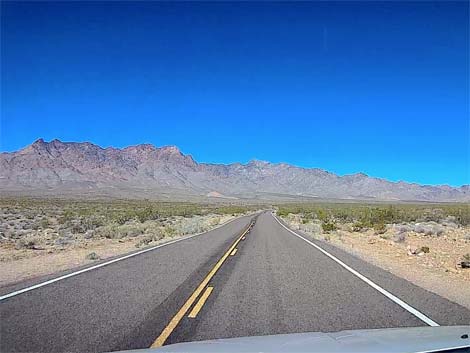
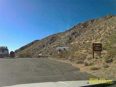
The Road From Interstate 40 (Table 1, Site 1474), Essex Road runs northwest through the wide open landscape of Fenner Valley, a landscape typical of lower-elevation Creosote-Bursage habitat type. At about 0.6 miles out, Exxex Road arrives at a pullout on the right with an information sign about Mojave National Preserve and a large boundary sign. The information sign provides a map of the Preserve, some photos, and text encouraging people to explore the area: Discover Mojave. Explore sand dunes, volcanic cinder cones, and Joshua tree forests—all found along Mojave’s scenic roadways. If you’re feeling more adventurous, dirt roads will take you to long-abandoned mines, homesteads, and military outposts. The boundary sign, a few yards west of the information sign, is a nice place for a photo to remember your visit. |
 Essex Rd approaching Mojave National Preserve boundary (view NW) |
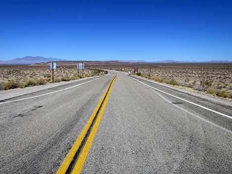
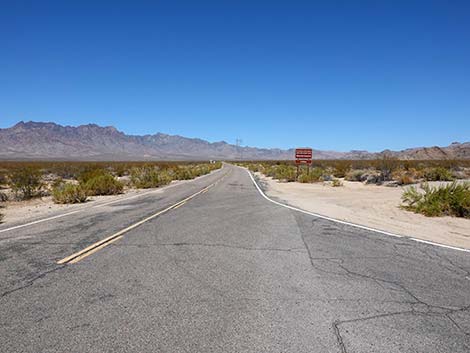
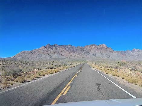
Essex Rock begins into Mojave National Preserve traversing grand, open scenery. As the road passes between the Clipper Mountains on the left, which stand tall above the interstate, and a lower ridge on the right (Blind Hills), the road enters Clipper Valley. Also on the left, Clipper Valley Wash drains all of Clipper Valley and the mountains in the distance, essentially all that can be see from this area. Washes often suffer flash floods, but they also provide water to plants. Essex Road crosses many side-washes that contribute to Clipper Valley Wash, and each wash crossing is a place for a potential washout. Highway crews do a good job of repaving, but always be aware that the pavement might be washed out. |
 Information exhibit at Mojave Preserve boundary (view NW) |
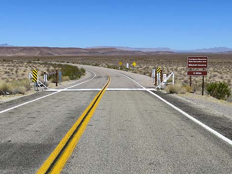
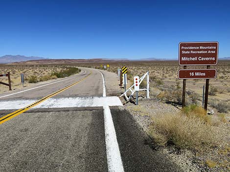
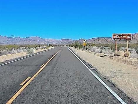
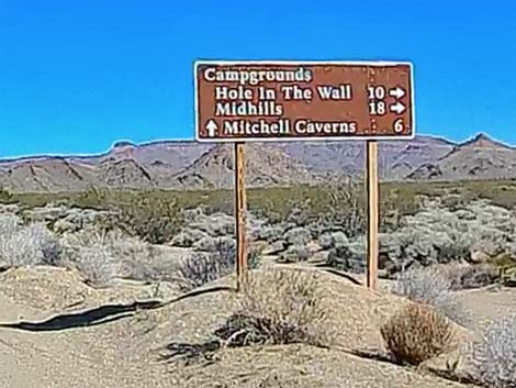
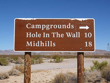
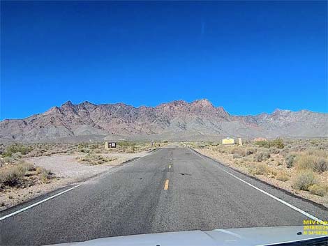
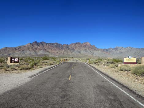
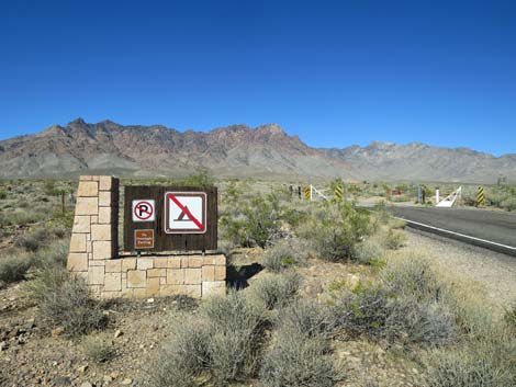
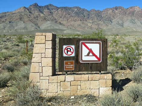
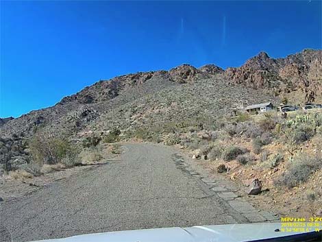
At 10.1 miles out, Essex Road passes Black Canyon Road (Site 0845), on the right. Black Canyon Road provides access to the Hole-in-the-Wall area of Mojave National Preserve. Continuing, Essex Road passes under high-tension powerlines and bends a bit to the left, now heading more due west. At 4.1 miles past Black Canyon Road, signs (with cattle guard and gate) announce entry into Providence Mountains State Recreation Area. By this time, the road has gained enough elevation that the vegetation is now typical of the more diverse and more robust Mojave Desert Scrub. |
 Information exhibit (view N) |
Becoming steeper, the road passes a wooden work shed on the left and curves past a ranger residence on the right. Winding through steep curves, the road arrives at the main Mitchell Caverns parking lot (Site 0503). Parking is located on the left, but the road continues directly across the main parking lot towards the restrooms, then hairpin-curves to the right and climbs steeply to a small parking lot past the ranger station. There is no trailer turn-around, and visitors probably should leave these few parking spots for those who cannot walk up from the main parking lot. Return over Essex Road - Southbound. |
 Information exhibit with Mojave Preserve map (view N) |
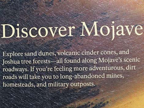 Text of information exhibit (view N) |
 Essex Rd approaching Mojave National Preserve boundary (view W) |
 Mojave National Preserve entrance sign (view W) |
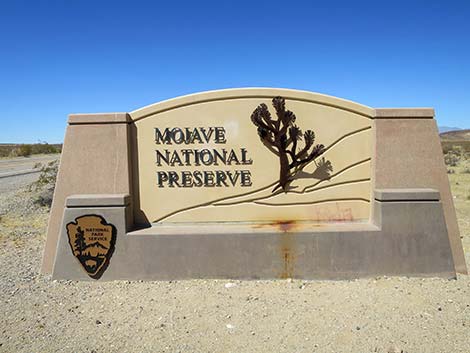 Mojave National Preserve entrance sign (view W) |
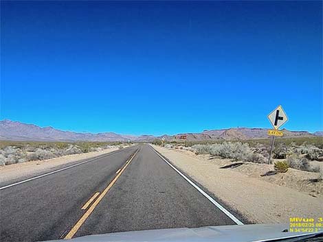
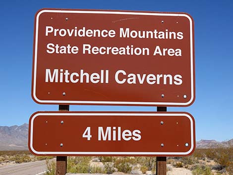
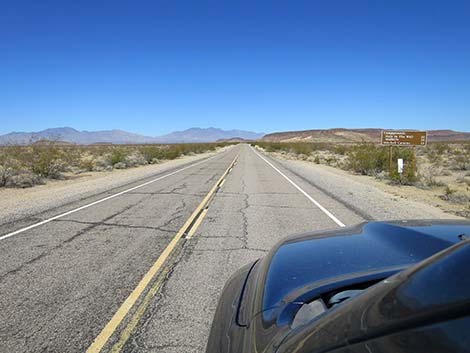 Essex Road approaching directional sign (view NW) |
 Essex Road at directional sign (view NW) |
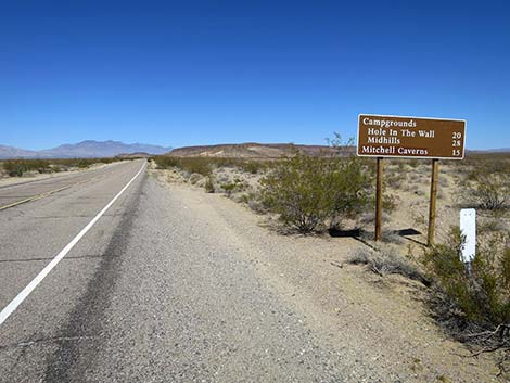
 Directional sign (view NW) |
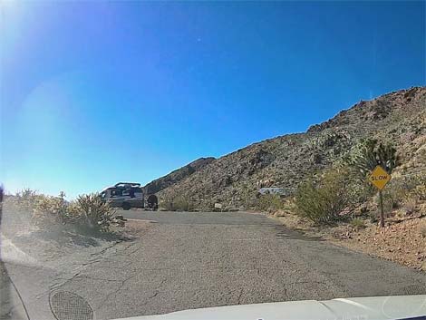
 Essex Road approaching Black Canyon Road (view NW) |
 Essex Road approaching Black Canyon Road (view NW) |
 Essex Road approaching Black Canyon Road (view NW) |
 Road sign (approaching Black Canyon Road (view NW) |
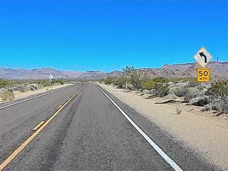 Essex Road approaching Black Canyon Road (view NW) |
 Essex Road approaching Black Canyon Road (view NW) |
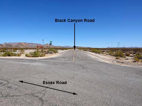 Essex Road at Black Canyon Road (view NW) |
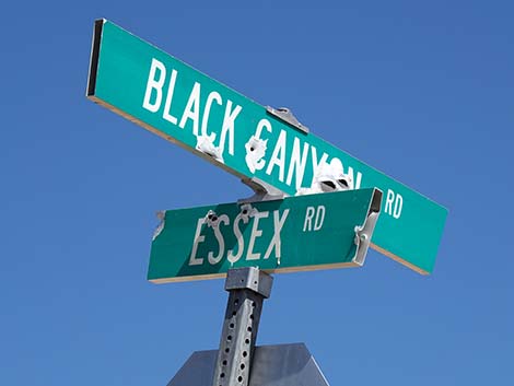 Street signs: Exxex Road and Black Canyon Road |
 Signs at the intersection (view NW) |
 Directional sign (view NW) |
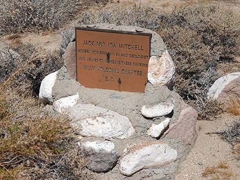 Memorial plaque to Jack and Ida Mitchell |
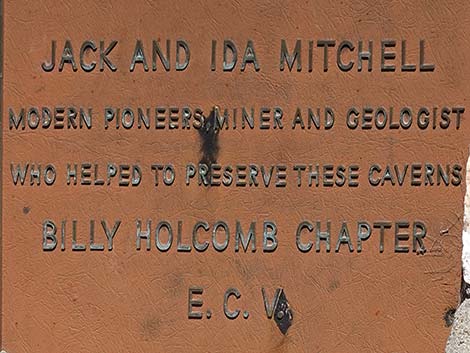 Text of memorial plaque to Jack and Ida Mitchell |
 Essex Road passing Black Canyon Road (view NW) |
 Directional sign (view NW) |
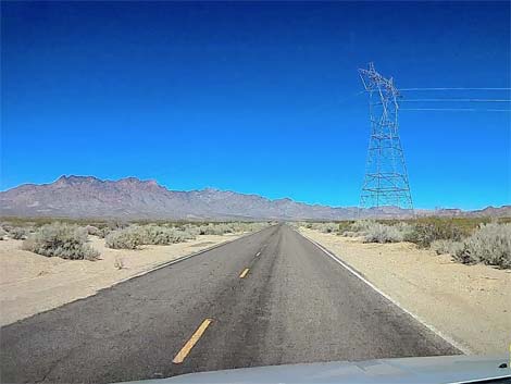 Essex Road passing under power towers (view NW) |
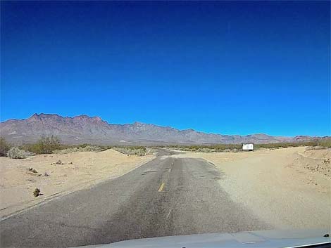 Essex Road at a dirt side road (view NW) |
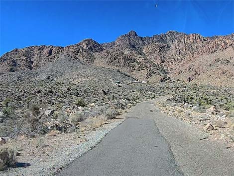
 Essex Road (view NW) |
 Essex Road (view NW) |
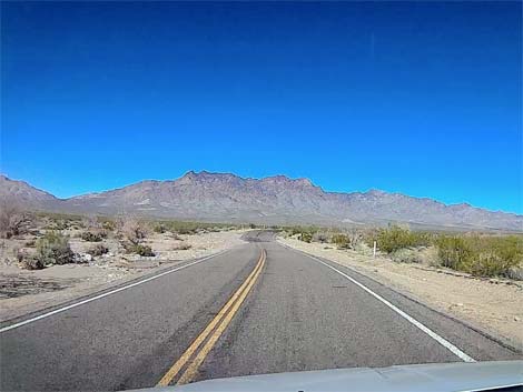
 Essex Road (view W) |
 Essex Road approaching State Rec Area boundary (view W) |
 Essex Road at State Rec Area boundary (view W) |
 State Rec Area boundary sign (view W) |
 State Rec Area boundary sign (view W) |
 State Rec Area boundary sign (view W) |
 State Rec Area boundary sign (view W) |
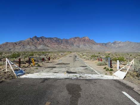 Cattle guard and gate at boundary (view W) |
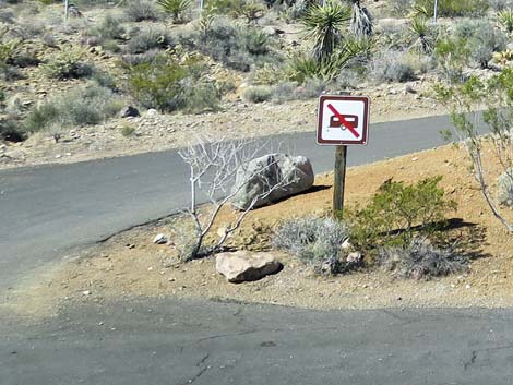
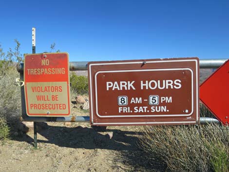 Sign on gate (seen when closed; view N) |
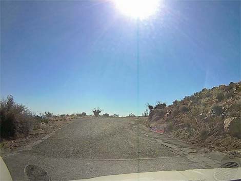
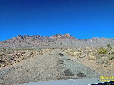 Lots of patch on the deteriorating road (view W) |
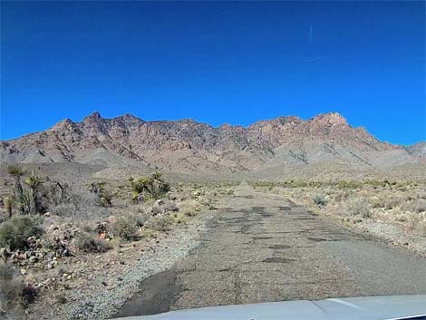 Lots of patch and potholes on the deteriorating road (view W) |
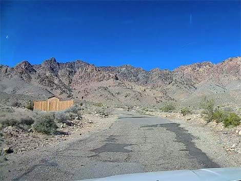 Approaching wooden work shed on the left |
 Climbing into the hills (view W) |
 Curving past ranger residence (view SW) |
 Essex Road (view NW) |
 Essex Road (view NW) |
 Steep road coming out of sharp curves (view SW) |
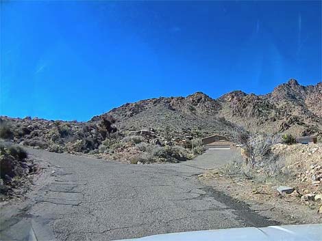
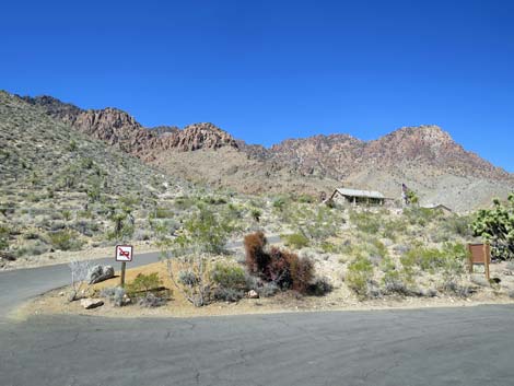
 Essex Road approaching the main parking area (view S) |
 Essex Road entering the main parking area (view S) |
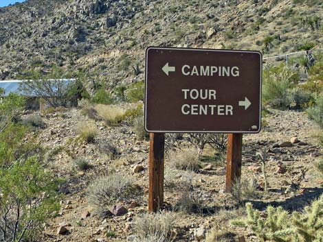
 Sign along road in main parking area |
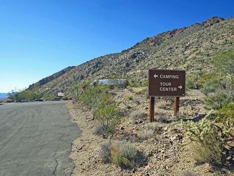
 Camping and main parking left; ranger station right (view S) |
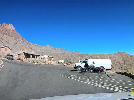
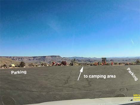 Main parking lot and camping area (view E) |
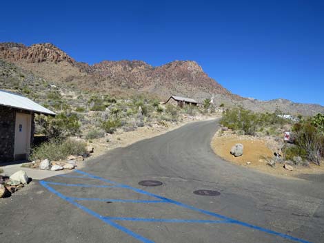
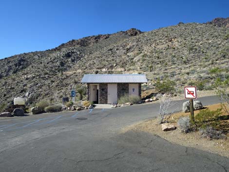 Essex Road approaching restroom and hairpin curve (view S) |
 Essex Road at hairpin curve (view S) |
 Nowhere to turn a trailer around (view W) |
 Essex Road turning hairpin curve towards Ranger Station (view NW) |
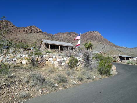 Essex Road at Ranger Station (view S) |
 Small parking lot near Ranger Station (view N) |
Table 1. Highway Coordinates Based on GPS Data (NAD27; UTM Zone 11S). Download Highway GPS Waypoints (*.gpx) file.
| Site # | Location | UTM Easting | UTM Northing | Latitude (°N) | Longitude (°W) | Elevation (feet) |
|---|---|---|---|---|---|---|
| 0503 | Mitchell Caverns parking | 635906 | 3867560 | 34.94322 | 115.51176 | 4,314 |
| 0845 | Black Canyon Rd at Essex Rd | 644029 | 3863839 | 34.90855 | 115.42348 | 2,887 |
| 1474 | Essex Road at I-40 | 653704 | 3852069 | 34.80104 | 115.31978 | 2,044 |
Happy Hiking! All distances, elevations, and other facts are approximate.
![]() ; Last updated 241013
; Last updated 241013
| Backroads | Hiking Around Mojave Preserve | Hiking Around Las Vegas | Glossary | Copyright, Conditions, Disclaimer | Home |