Hiking Around Las Vegas, Mojave National Preserve
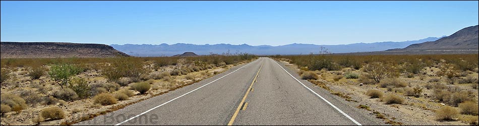
 Mitchell Cavers Ranger Station at start Essex Road (view W) |
Overview Essex Road is the main road that connects Interstate 40 with Providence Mountains State Park (Mitchell Caverns) and southeastern sections of Mojave National Preserve. From the interstate to the boundary of the state park, the road generally is well maintained, but it is subject to desert flash floods and parts of the pavement may be missing where it crosses washes. Inside the state park, the road is heavily potholed with considerable amounts of bumpy cold-patch, but there are plans to repave it. This road provides access to Providence Mountains State Park, which includes Mitchell Caverns, plus Black Canyon Road , which provides access to the Hole-in-the-Wall area of Mojave National Preserve. Presented here are photos of the road from Providence Mountains State Park to I-40. For a complete description of the road, including GPS coordinates, see Essex Road-Northbound. Link to map. |
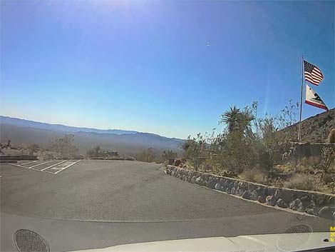 Essex Rd departing Mitchell Caverns Ranger Stn. parking (view SE) |
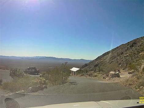 Descending towards main parking area (view SE) |
 Exiting the main Mitchell Caverns parking area (view NW) |
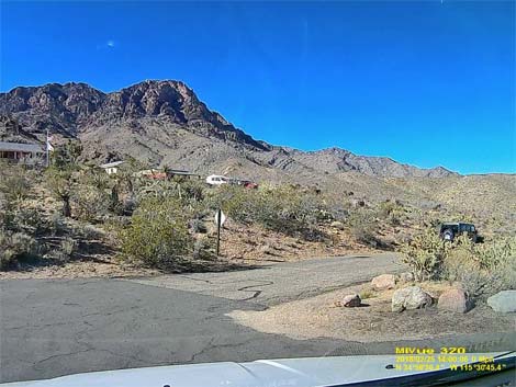
 Starting down the road -- watch sharp curve (view N) |
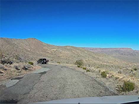
 Descending steep roadway (view E) |
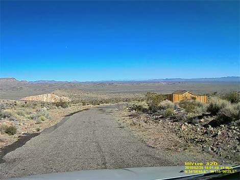 Approaching wooden work shed (view E) |
 Patch and potholes (view E) |
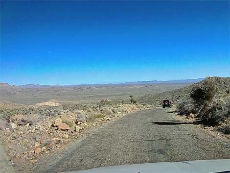
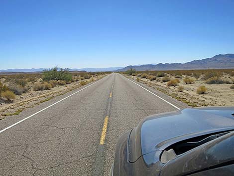
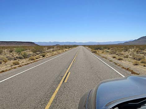
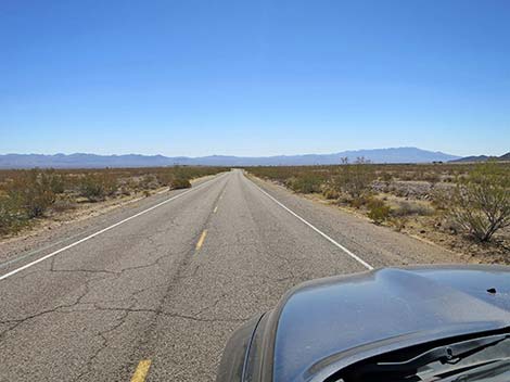
 Traversing more gentle terrain (view E) |
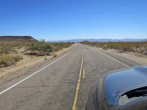
 Exiting Providence Mountains State Recreation Area (view E) |
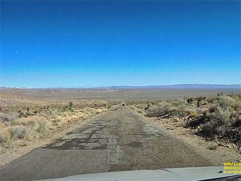
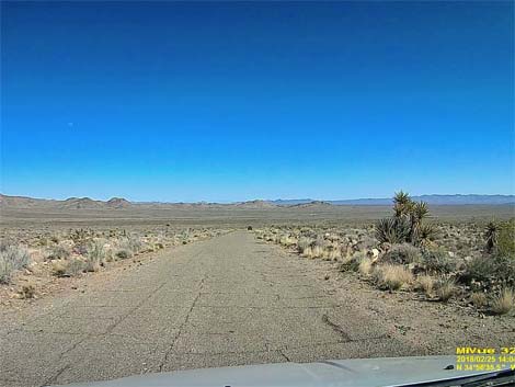
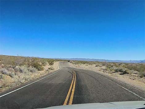
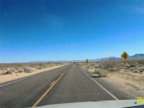
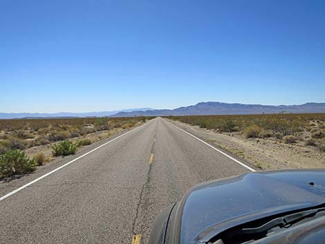
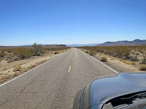
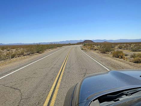
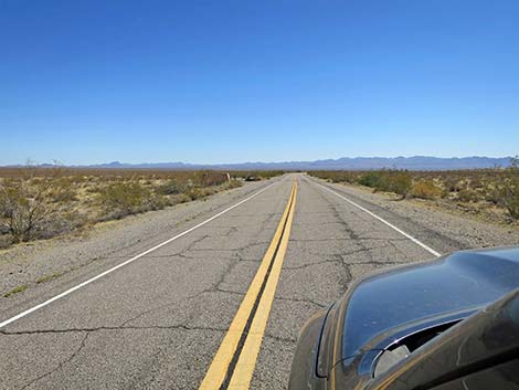
 Essex Road is mostly well maintained (view E) |
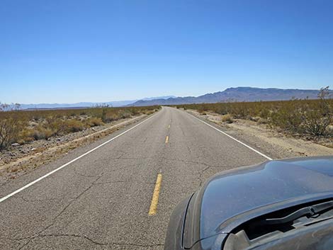
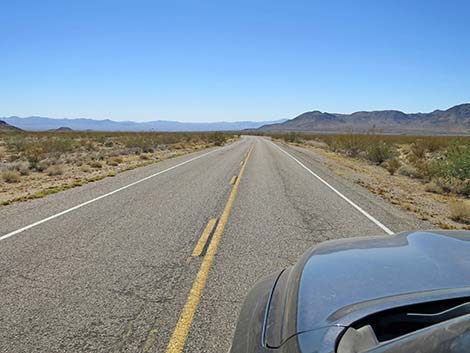
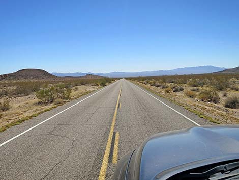
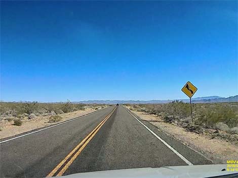 After long, straight road, watch for curve ahead (view E) |
 Curving into a desert wash (view E) |
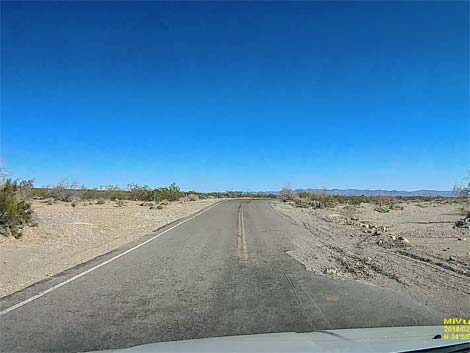 Asphalt washed out by flash floods (view E) |
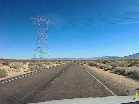 Passing under high-tension powerlines (view E) |
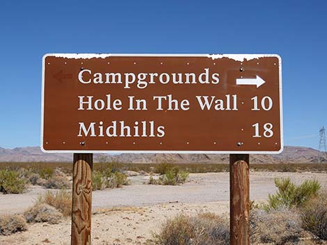
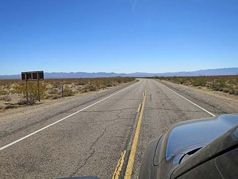
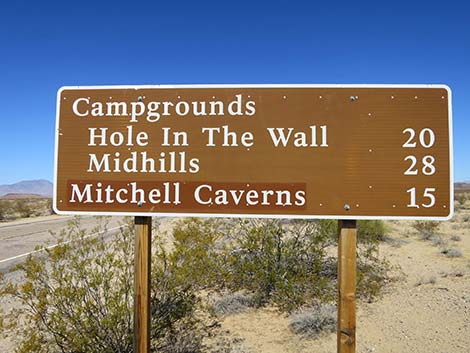
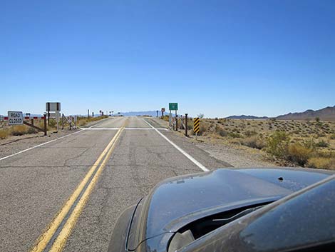
 Road sign for Mojave National Preserve areas (view E) |
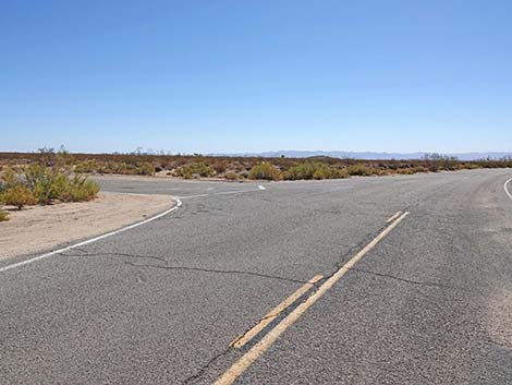
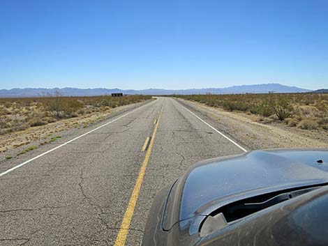
 T-intersection ahead (view E) |
 Essex Road approaching Black Canyon Road (view E) |
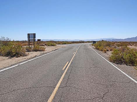
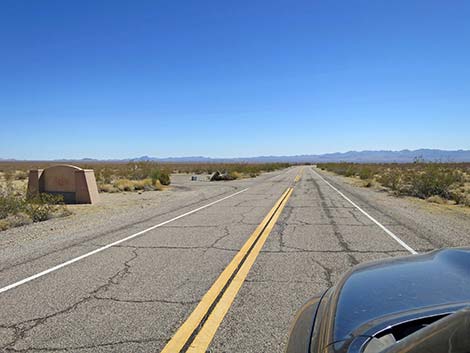
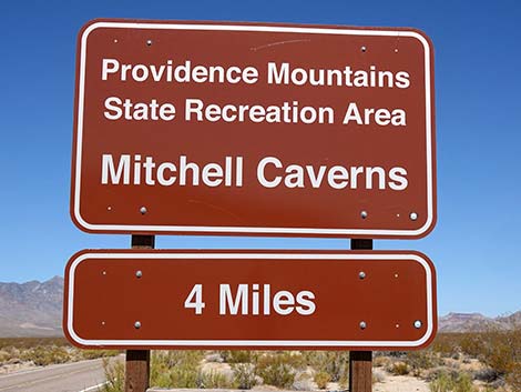 Looking back at Mitchell Caverns sign (view W) |
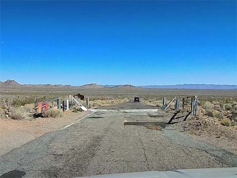
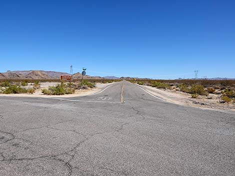
 Essex Road at Black Canyon Road (view E) |
 Black Canyon Road (view N from Essex Road) |
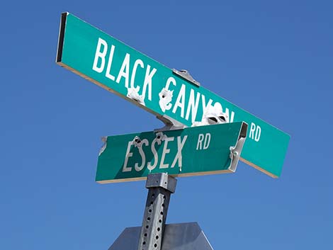 Street signs: Essex Road and Black Canyon Road |
 Looking back at Mojave National Preserve sign (view W) |
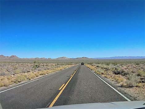
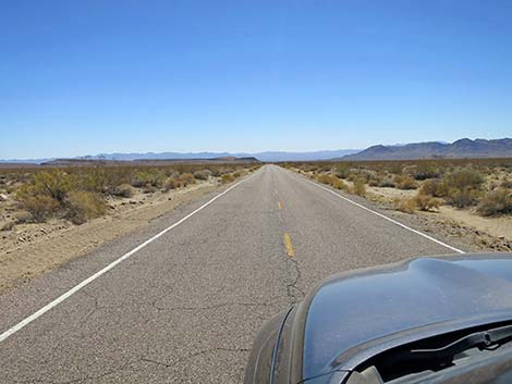
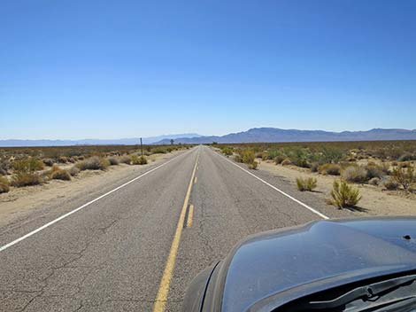 Essex Road continues past Black Canyon Road (view E) |
 |
 |
 |
 |
 |
 |
 |
 |
 |
 |
 |
 |
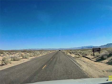
 Essex Road approaching a directional sign (view E) |
 Looking back at Mojave National Preserve sign (view W) |
 Essex Road approaching Mojave Preserve entrance sign (view E) |
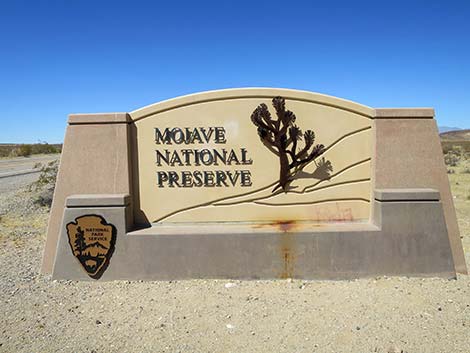
 Essex Road at Mojave Preserve entrance sign (view E) |
 Looking back at Mojave National Preserve entrance sign (view W) |
 Essex Road at information exhibit (view NE) |
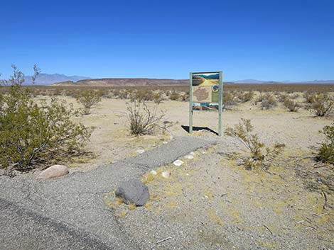 Information exhibit (view NE) |
 Information exhibit (view NE) |
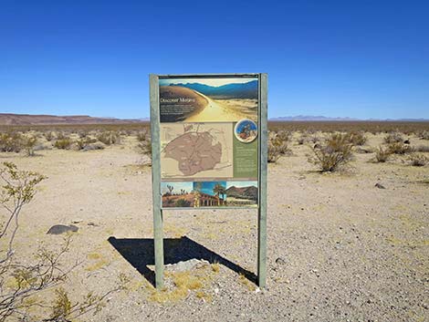
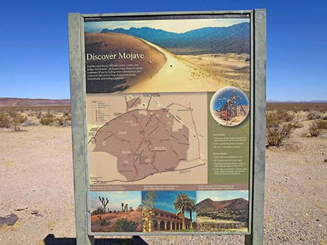 Information exhibit with Mojave Preserve map (view NE) |
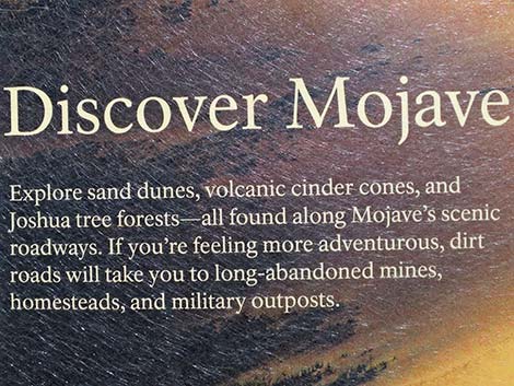 Text of information exhibit (view NE) |
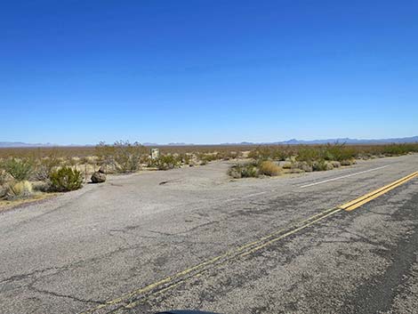
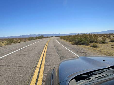 Essex Road continues past information exhibit (view E) |
 Essex Road approaching I-40 overpass (view E) |
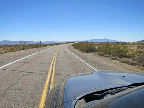
 Essex Road approaching I-40 highway fence (view E) |
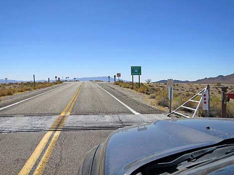 Essex Road approaching I-40 highway cattle guard (view E) |
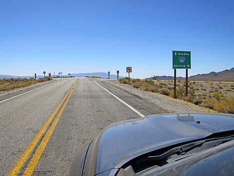 Essex Road at I-40 directional sign (view S) |
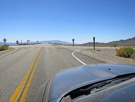 Essex Road at I-40 on-ramp westbound (view S) |
 More to come ... |
Happy Hiking! All distances, elevations, and other facts are approximate.
![]() ; Last updated 241013
; Last updated 241013
| Backroads | Hiking Around Mojave Preserve | Hiking Around Las Vegas | Glossary | Copyright, Conditions, Disclaimer | Home |