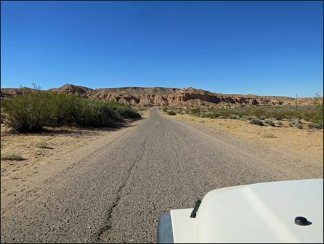
(Highway 170 to Whitney Pocket)
Backroads Around Las Vegas, Gold Butte
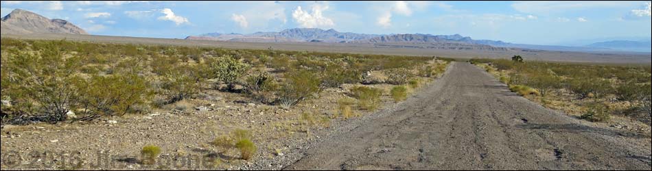
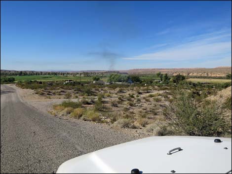
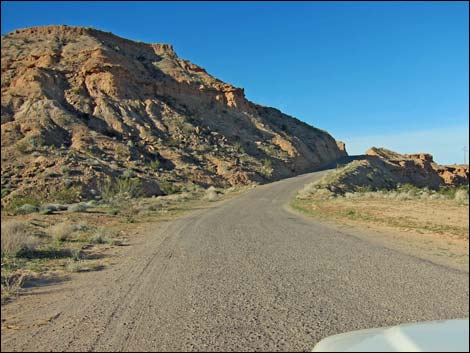
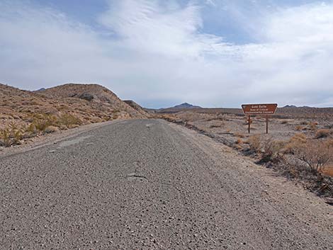
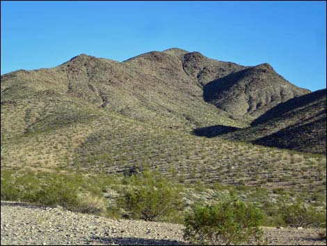
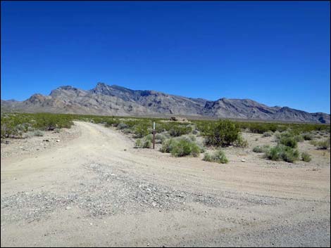
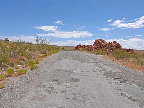
 Highway 170 approaching Gold Butte Road (view SE) |
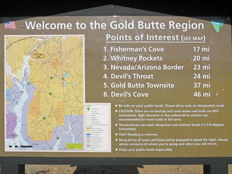
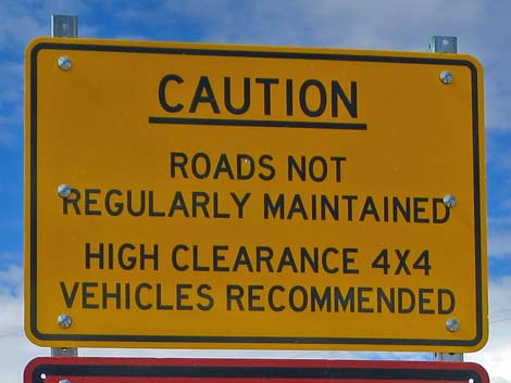
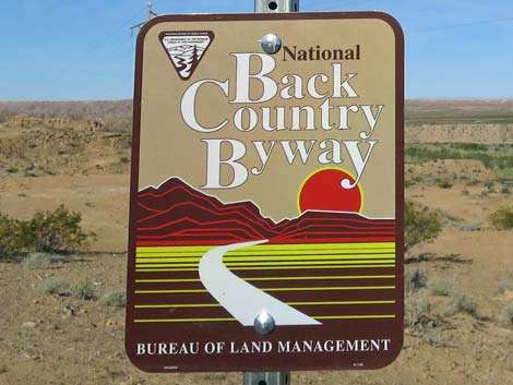
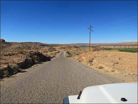
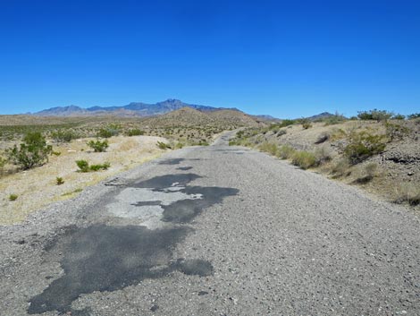
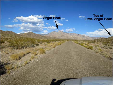
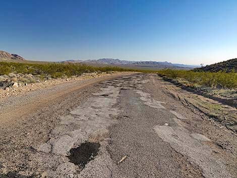
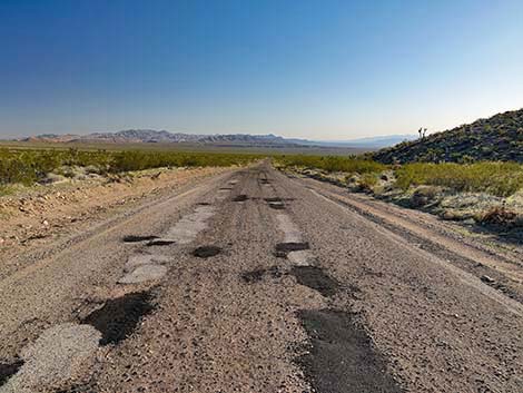
Overview Starting near the town of Mesquite, Nevada, Gold Butte Road is the gateway to the wild and rugged Gold Butte region. The road is paved for 21 miles, although the pavement is washed out twice and a bit rough the rest of the way. During February 2022, most of the potholes have been filled, but not all of them. This is not a way to get to the Grand Canyon. The road runs down along the Virgin River, then turns south and climbs over the flanks of Virgin Peak. Long stretches of open desert below the Virgin Mountains lead to Whitney Pocket, an historic area nestled among outcrops of colorful red-and-white sandstone. Gold Butte Road provides access to places such as Key West Mine, Little Virgin Peak Trail, Fisherman Cove Road, Black Butte Road (Falling Man Rock Art site), and a number of nice campsites. Beyond Whitney Pocket, the road becomes graded dirt, and that is where the real wildness starts. For details of the unpaved section of the road, see Gold Butte Road Unpaved Southbound. Link to map. |
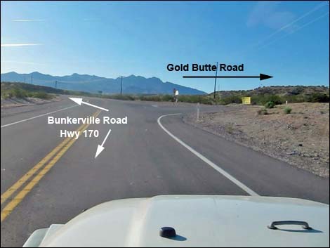
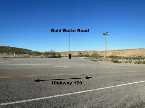
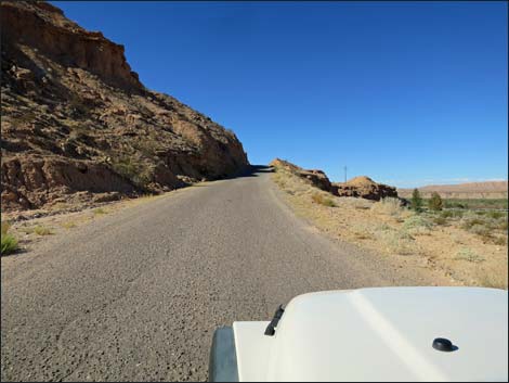
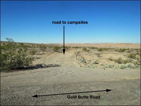
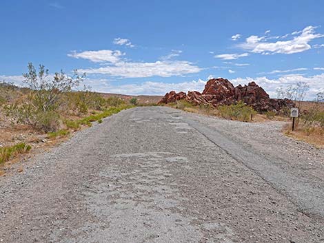
 Highway 170 at Gold Butte Road (view SE) |
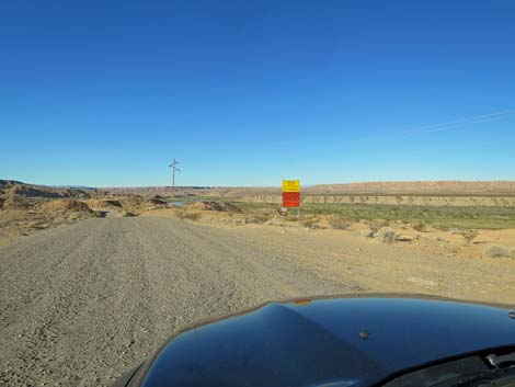
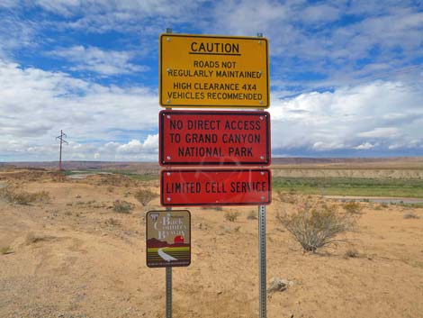
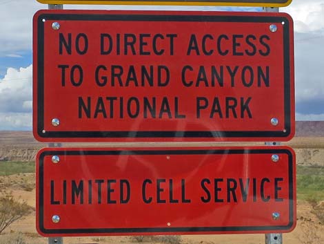
Watch Out Other than the standard warnings about being in the desert, ... this is a fairly safe road, but parts (especially the northern 6-7 miles) are narrow and winding with blind corners. I've been run off the road by thoughtless drivers coming towards me driving too fast with big trucks and long trailers packed with ATVs, so always assume there will be a drunk driver coming around a blind corner in your lane. This is a wild and remote area without services of any kind (no restrooms, no water, no gas, no food). Bring what you need to survive. Be prepared and be self-reliant. Someone will find you eventually if you stay on a main road, but be prepared to survive alone for a day or two. Farther out, cell phones only work on few parts of the road. While out, please respect the land and the other people out there, and try to Leave No Trace of your passage. Also, this is a remote area, so be sure to bring the 10 Essentials. |
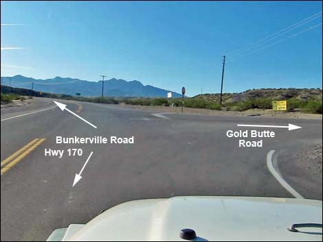
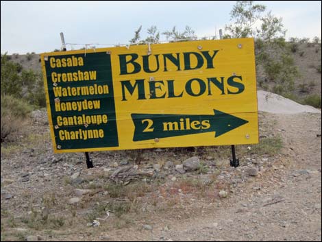
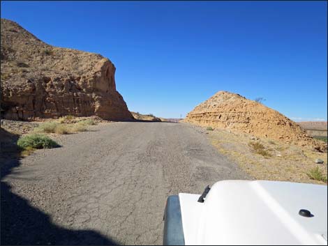
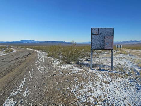
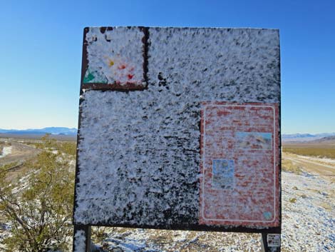
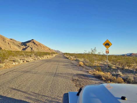
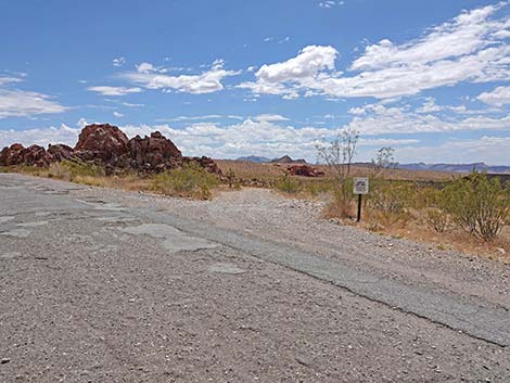
 Commercial sign at Hwy 170--Gold Butte Road intersection (view S) |
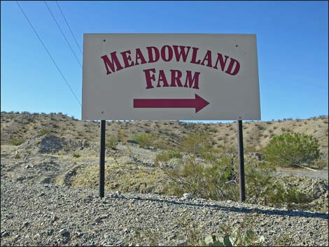
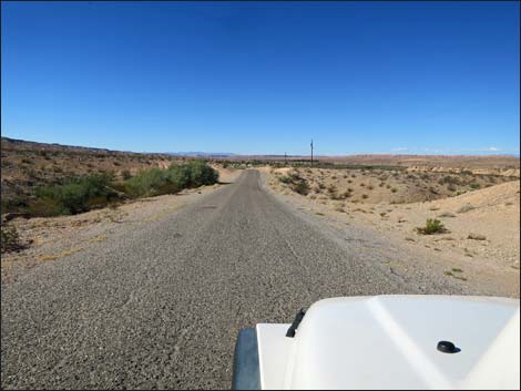
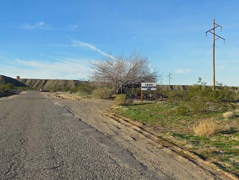
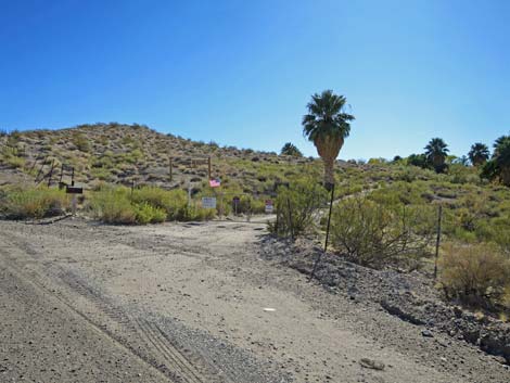
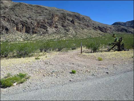
Getting to Gold Butte Road Gold Butte Road is located out in Gold Butte south of Mesquite, about 1.5 hours northeast of Las Vegas. From Las Vegas, drive out Interstate 15 to Exit 112, which is about five miles before Mesquite, and take Highway 170 towards Riverside and Bunkerville. Exiting the Interstate starts the journey into the wildlands as Highway 170 winds down 3.5 miles of sparsely vegetated desert hillsides towards the Virgin River. Just across the bridge, Gold Butte Road branches to the right (watch for signs to Meadowland Farm). Gold Butte Road is unmarked except for a stop sign, and because of the tilt of Highway 170, the turnoff looks more like a paved pullout than a paved 2-lane road, but the turn is only a few yards past the bridge. |
 Historic commercial sign (now gone; view S) |
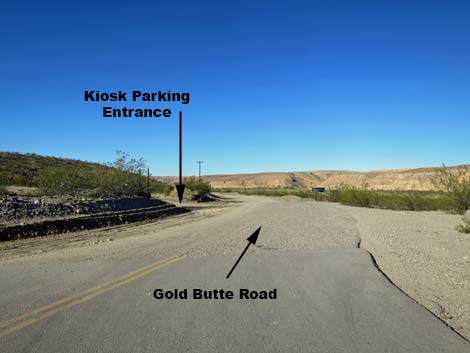
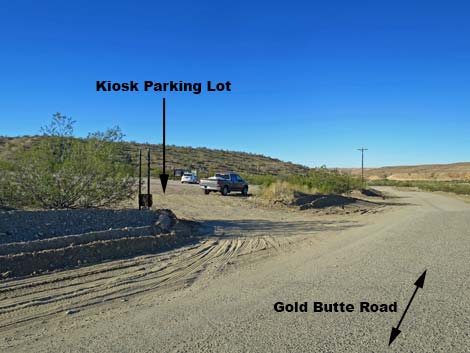
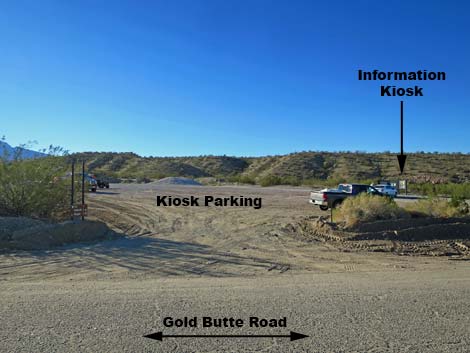
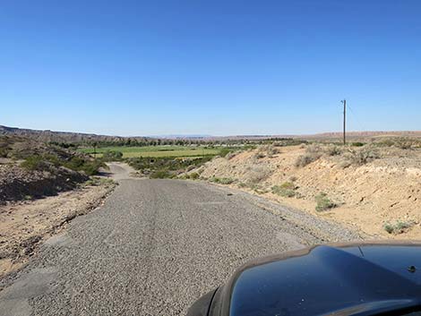
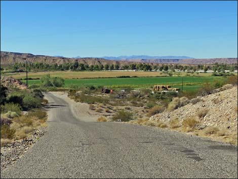
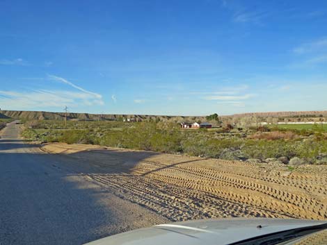
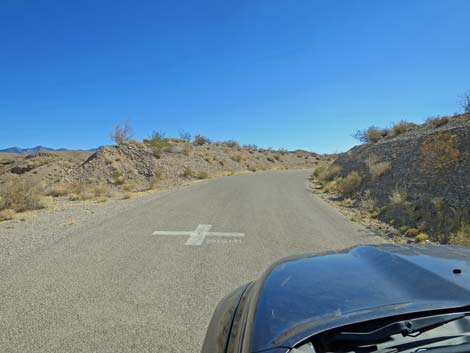
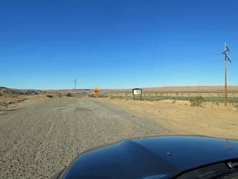
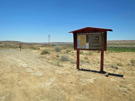
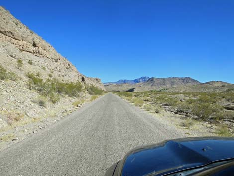
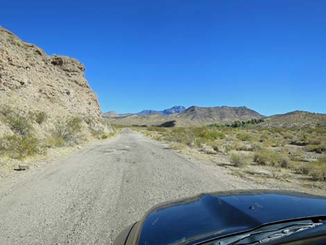
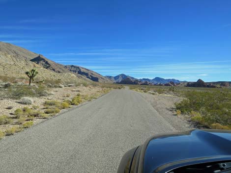
The Road From Highway 170 (Table 1, Site 0686), Gold Butte Road runs southwest, but before really leaving the intersection, the road passes a large dirt parking lot on the left with information signs and maps about the Gold Butte region. This is also a popular ATV trailhead and carpool parking lot often referred to as the Gold Butte Kiosk Parking Lot. Beyond the dirt parking lot, Gold Butte Road runs down along the south side of the verdant Virgin River. Initially, the narrow road is posted 25 mph as it winds past farms, over low ridges, and around tight, sometime blind, corners. After passing several farms, including the infamous Bundy Ranch (1.6 miles out), the road straightens a bit and there is a tendency to drive faster. There remain however, several narrow spots with drop-offs towards the river and blind corners that require caution. I've been run off the road to the edge of a cliff along this section. At about 3.4 miles out, about 100 yards of pavement is washed out, but the county maintains the dirt section. |
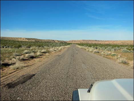
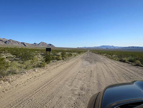
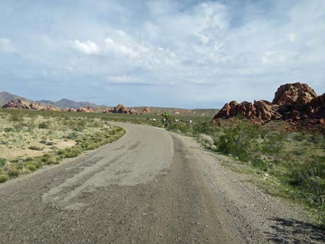
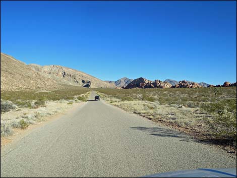
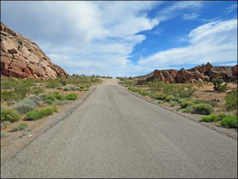
 Start of Gold Butte Road (view W from Highway 170) |
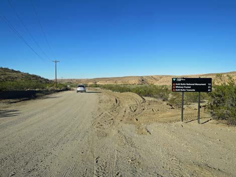
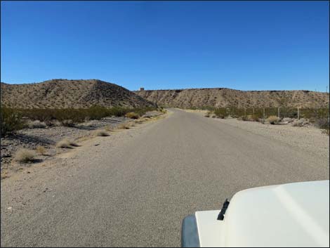
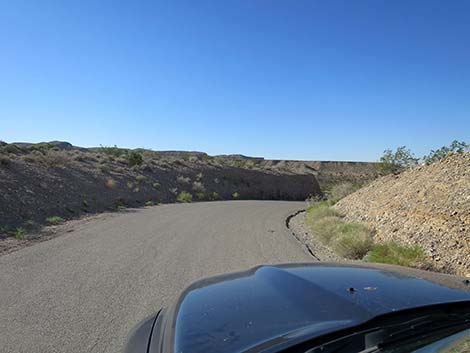
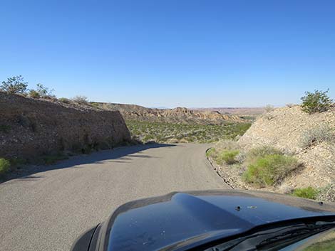
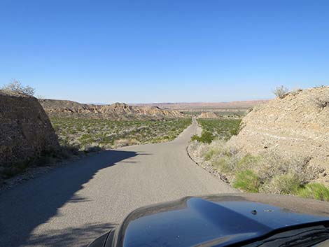
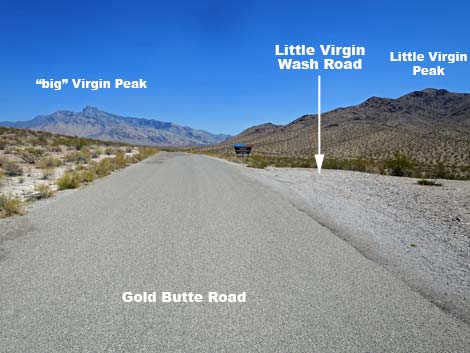
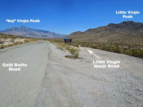
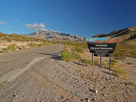
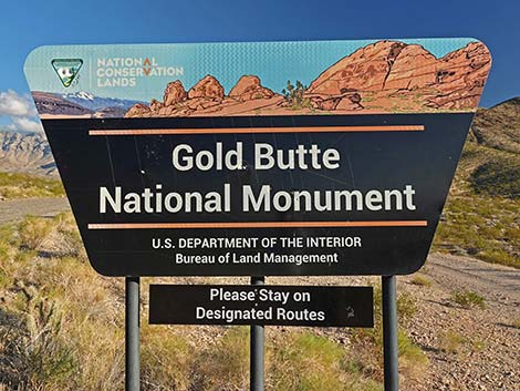
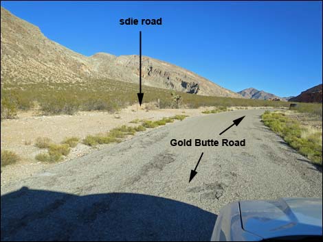
At about 6.7 miles out, Gold Butte Road abruptly bends to the left, away from the river, and again the pavement is washed out for about 300 yards. The road passes a side road (Site 0687) on the right that runs out to primitive campsite along the river. The road continues bending left and begins to climb southeast through desert canyons towards Virgin Peak in the distance. The road climbs at moderate grades and winds through valleys and over ridges. At about 7.6 miles out (Site 1772), the unmarked Virgin River Overlook Road branches to the right (0.3 miles past the washed-out asphalt). This road runs west, passing four primitive campsites in about 0.3 miles, with more campsites farther out, and ends near the Virgin River. At about 12.1 miles out, Gold Butte Road passes the National Monument entrance sign (Site 1964), a popular place to stop for group photos. At the sign, a rough dirt road forks the right and runs down Little Virgin Wash. With the right vehicle, drivers can get to the Virgin River. This road marks the National Monument boundary to the west. |
 Start of Gold Butte Road (view W) |
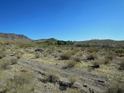
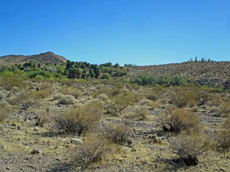
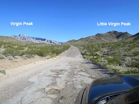
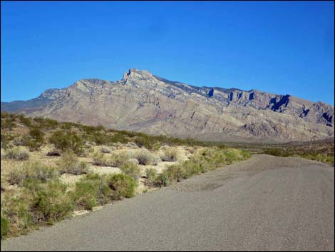
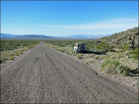
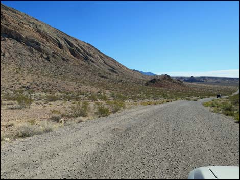
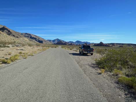
At about 13.1 miles out, Gold Butte Road passes Key West Spring Road (Site 1965), which forks to the left that leads to the Key West Mine, the Key West springs, Great Eastern Mine, and Government Spring. This road marks the National Monument boundary to the east. Continuing, Gold Butte Road climbs over the saddle between "Big" Virgin Peak on the left and Little Virgin Peak on the right. Shortly past the high point, the road passes a wide spot (Site 1652) on the right shoulder that serves as the trailhead for Little Virgin Peak. At about 14.3 miles out, Gold Butte Road descends to Fisherman Cove Road (Site 1653), bends a bit to the left, and begins to run south across broad desert flats (Fisherman Flats) with the Virgin Mountains to the left and the Overton Arm of Lake Mead far to the right. At about 14.7 miles out, Gold Butte Road passes a dirt spur road (Site 1661) to the left. This road leads about 80 yards east to an old borrow pit. While not the most aesthetically pleasing site, The Gravel Pit Campsite is popular and big enough for several trailers. Cell service is available in this area. |
 Gold Butte Road approaching Kiosk Parking Lot (view SW) |
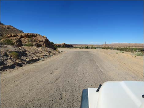
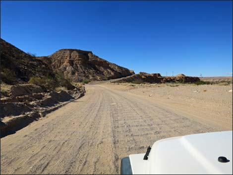
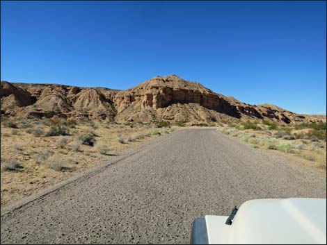
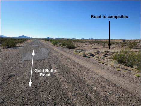
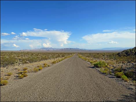
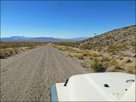
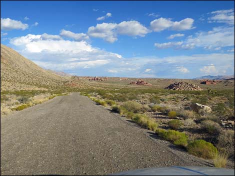
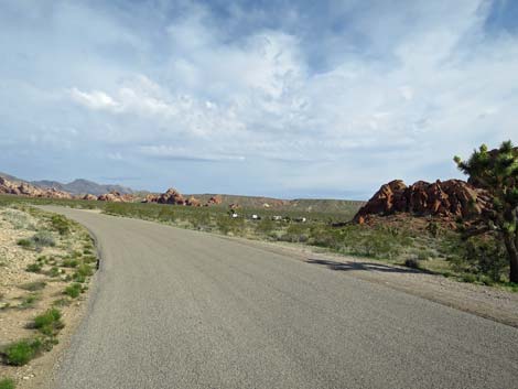
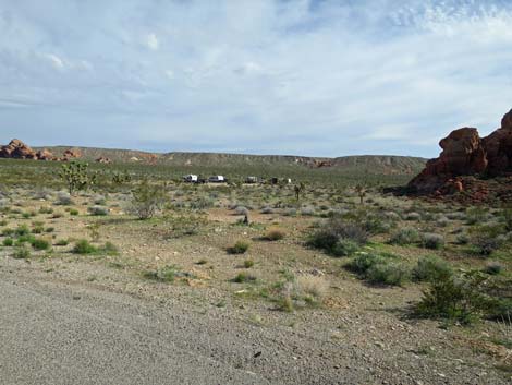
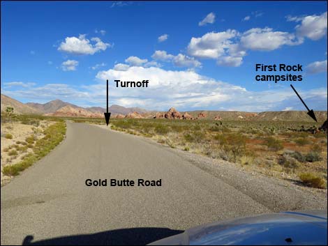
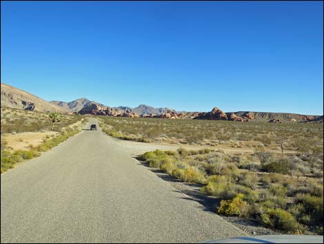
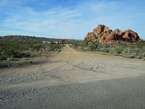
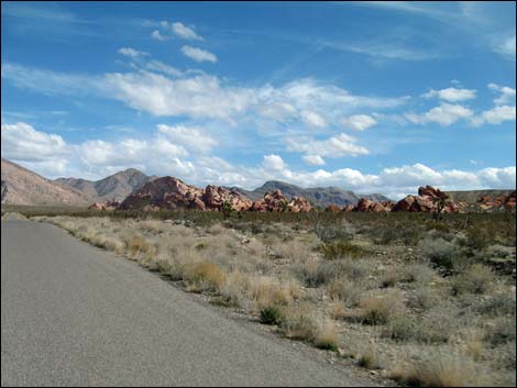
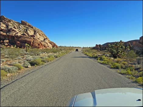
For the next 5 miles, Gold Butte Road runs fairly straight as it heads southeast towards the far skyline. At about 16.7 miles out, Gold Butte Road passes a well-used dirt road on the left (Site 1966). This road goes to nowhere, not even a nice campsite, but eventually it bends right and reconnects with Gold Butte Road at about 19.1 miles out (Site 1967). At 19.5 miles out, Gold Butte Road passes the first of several large sandstone outcrops on the right, then just before getting to the second sandstone outcrop, Gold Butte Road passes Black Butte Road (Site 1004), on the right. Black Butte Road leads southwest to the popular Falling Man Rock Art area and several other adventures such as the hike up Bitter Ridge and the drive around the Sand Wash--Mud Wash Loop. Continuing, Gold Butte Road bends to the left adjacent to the second sandstone crag and passes another unmarked road (Site 1768, 19.9 miles out) on the right. This road, First Rock Campsite Road, leads to the large First Rock Campsite (visible from the pavement), which is suitable for several large trailers. First Rock Campsite Road continues through the campsite and circles the sandstone crags to several smaller campsites and intersects with Black Butte Road. |
 Gold Butte Road at Kiosk Parking Lot (view S) |
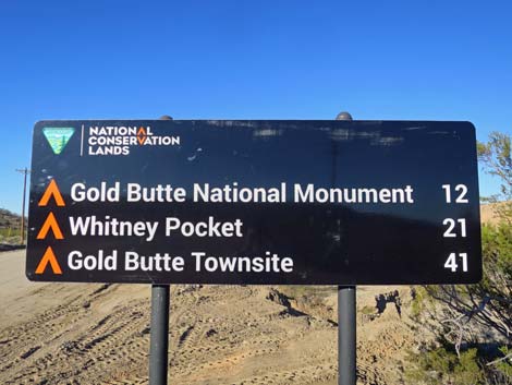
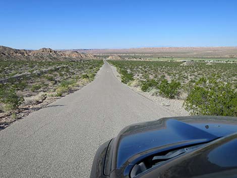
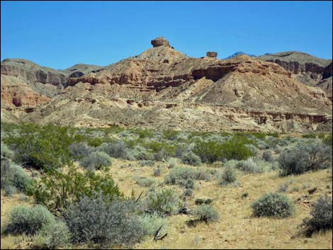
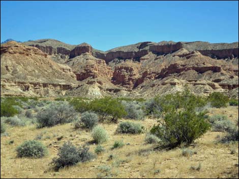
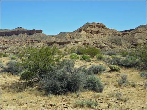
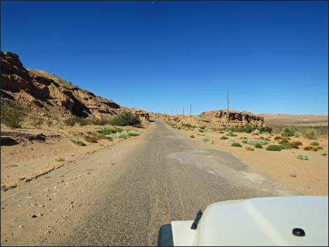
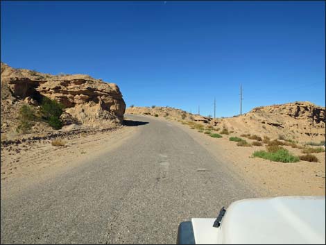
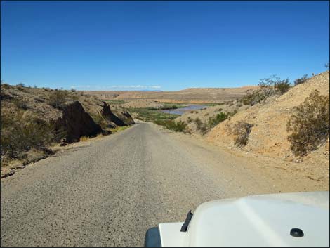
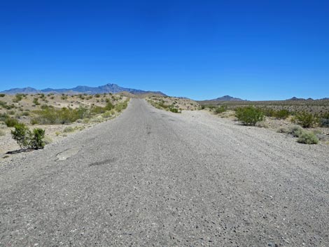
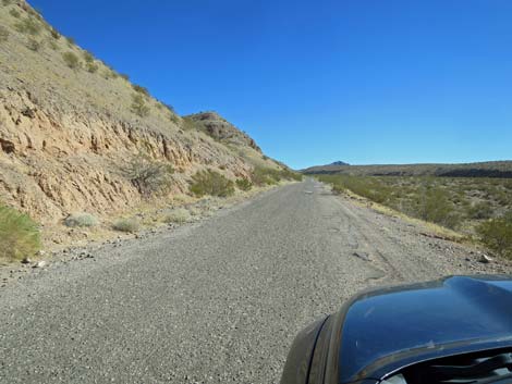
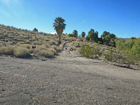
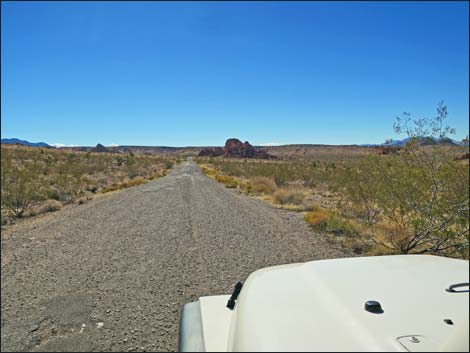
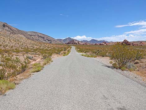
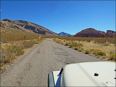
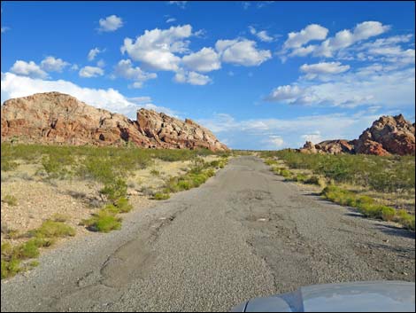
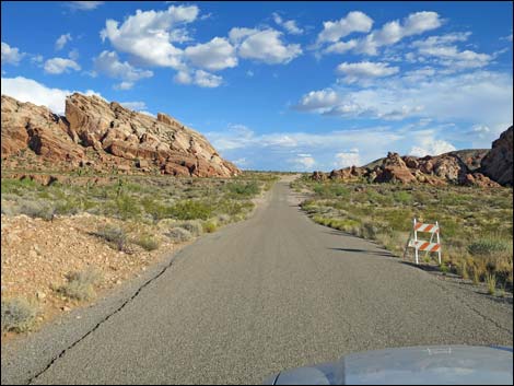
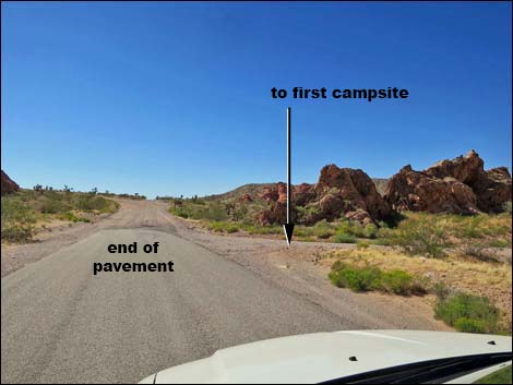
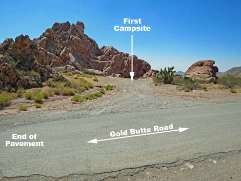
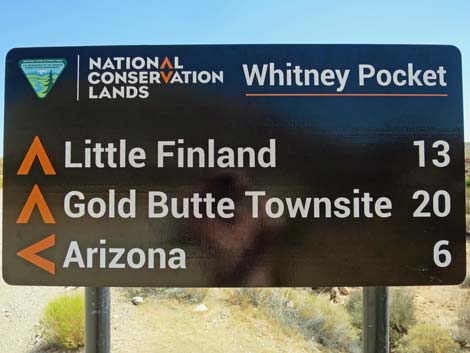
Gold Butte Road runs east (on some of the finest asphalt on the entire road) and climbs across the hillside below towering limestone mountains, then bends right (southeast) and drops to cross a major wash. Shortly thereafter, the pavement ends (Site 0461) as travelers arrive at Whitney Pocket, a scenic area of red-and-white sandstone crags. This is a popular camp area, and for visitors who don't want to stray too far from the paved road, this is a good place to stop and enjoy the solitude and scenery. Just ahead on the right, day-use parking (Site 1657) is available in a large parking lot just off the main road, and just ahead on the left, Whitney Pass Road (Site 0462) forks to the left and heads into the main camping area. For the more adventuresome, continue south on the unpaved Gold Butte Road. Birders might want to take the Whitney Pass Road east and up into the Virgin Mountains to look for birds of the desert mountains. |
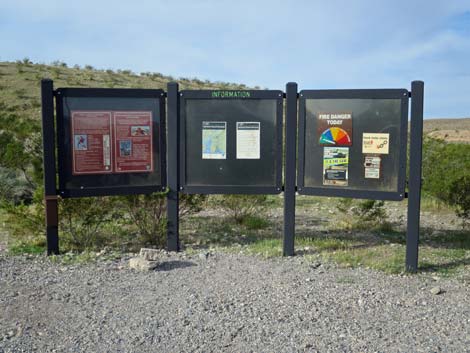 Info signs at Kiosk Parking Lot (view NW) |
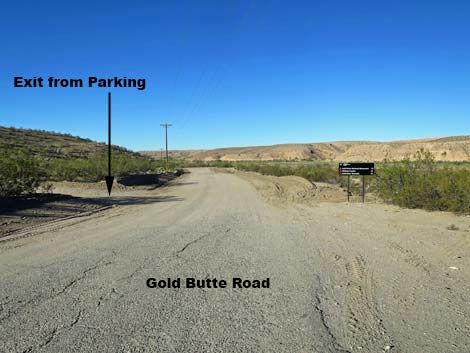 Gold Butte Road approaching exit from Kiosk Parking Lot (view W) |
 Gold Butte Road directional sign (view W) |
 Gold Butte Road directional sign (view W) |
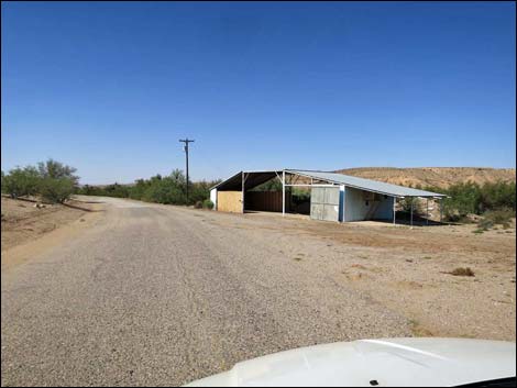 Historical Landmark: the "blue barn" (now gone; view W) |
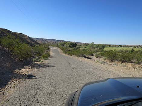
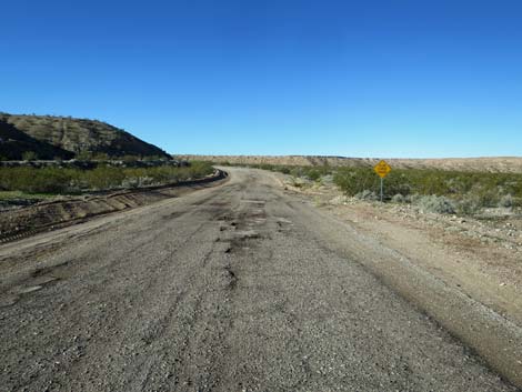
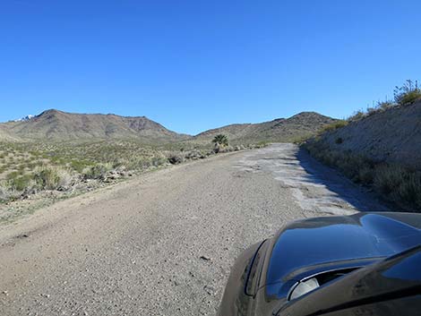
 Gold Butte Road (view SW) |
 Gold Butte Road with trees along the river (view SW) |
 Gold Butte Road with open desert above the river (view SW) |
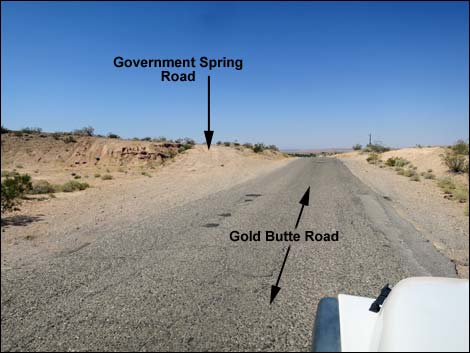 Gold Butte Road at Government Spring Road (view SW) |
 Gold Butte Road approaching Bundy Ranch (view SW) |
 Gold Butte Rd overlooking Bundy Ranch (the green fields; view SW) |
 Bundy Ranch doing a big BBQ? (view SW) |
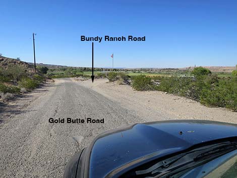 Gold Butte Road approaching Bundy Ranch Road (view SW) |
 Gold Butte Road at Bundy Ranch Road (view SW) |
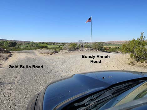
 Gold Butte Road at Bundy Ranch sign (view SW) |
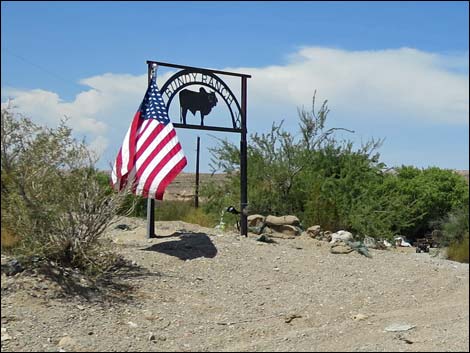 Bundy Ranch sign (view SW) |
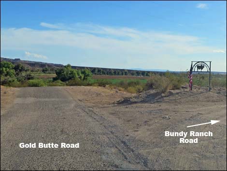
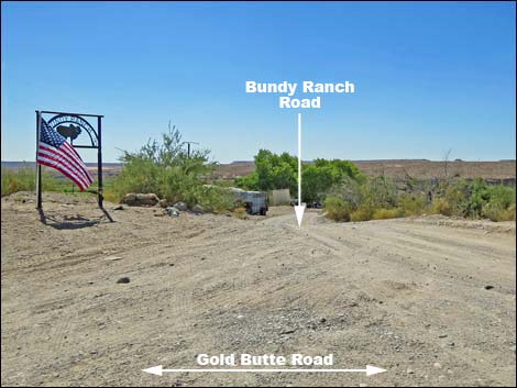 Bundy Ranch Road (view NW from Gold Butte Road) |
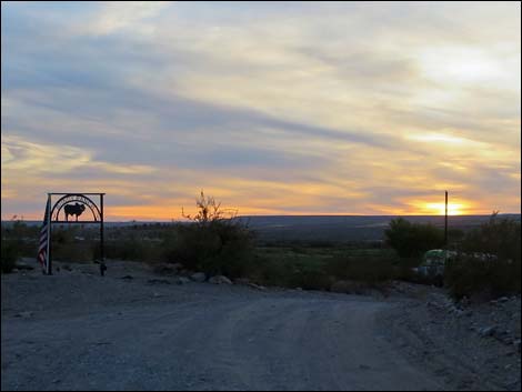 Bundy Ranch sign at sunset (view W) |
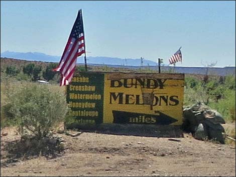 Historic Bundy Melon Ranch sign (view SW) |
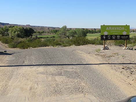 This is the way to Aravada Springs Resort (view SW) |
 Continuing past Bundy Ranch Road (view SW) |
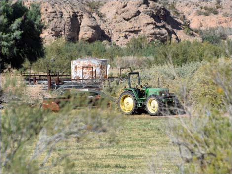 At work in the Bundy hayfield - ranching is hard work |
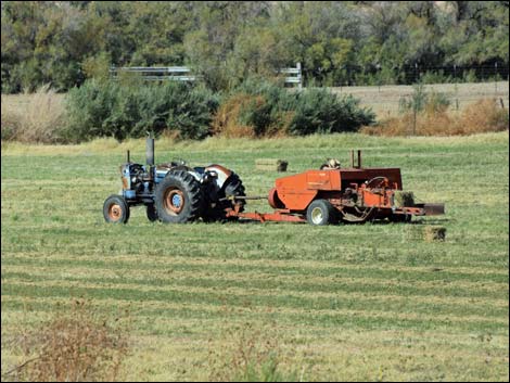 At work in the Bundy hayfield - ranching is hard work |
 Private residences along the Virgin River (view W) |
 Driveway to residence along the Virgin River (view W) |
 Ostrich, then goat, now empty ranch along the river (view N) |
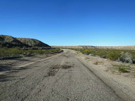
 Gold Butte Road (view SW) |
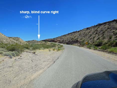 Road climbs steeply to a sharp, blind curve to the right (view S) |
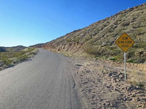
 Approaching caution sign: "Slow Blind Curve Ahead" (view S) |
 Caution sign: "Slow Blind Curve Ahead" (view S) |
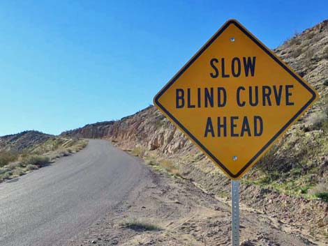 Caution sign: "Slow Blind Curve Ahead" (view S) |
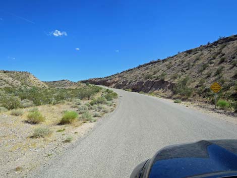
 Approaching sharp, blind curve right (view S) |
 Entering the sharp, blind curve right (view SW) |
 Rounding the sharp, blind curve right (view SW) |
 Exiting the sharp, blind curve right (view SW) |
 Virgin River farms area, on the right, along Gold Butte Road |
 Always watch for cows on the road -- especially at night! |
 Approaching curve and washed-out pavement (view SW) |
 100 yards of washed-out pavement (view SW) |
 Watch for oncoming traffic on tight, narrow curves ahead! |
 Approaching narrow crest of a hill (view SW) |
 Caution: I got run off the road here (view SW) |
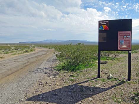
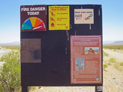
 Approaching area information sign |
 Area information kiosk |
 Area information sign |
 Approaching caution sign (view W) |
 Caution and Gold Butte Back Country Byway signs (view W) |
 Caution sign (view W) |
 Caution signs (view W) |
 One of many "National Back Country Byway" road signs |
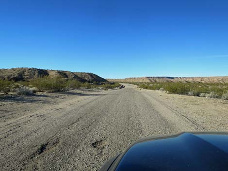
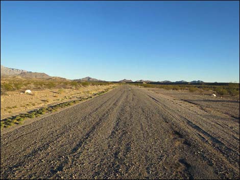
 Gold Butte Road (view SW) |
 Gold Butte Road (view SW) |
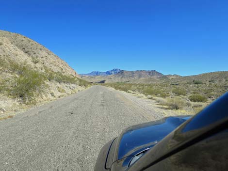
 Grand scenery along the road (view S) |
 Grand scenery along the road (view S) |
 |
 |
 The asphalt washes out here (view SW) |
 Swing wide to the right on this blind curve (view SW) |
 Descending again towards the Virgin River (view SW) |
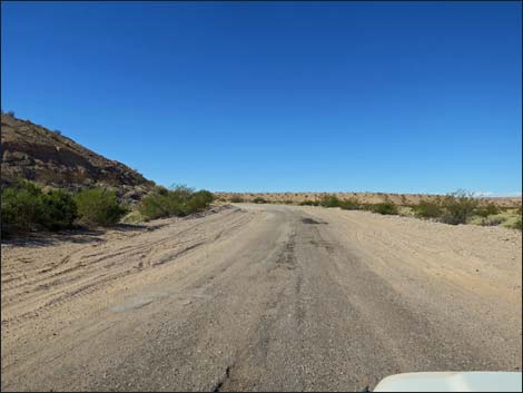
 Starting across the open desert (view SW) |
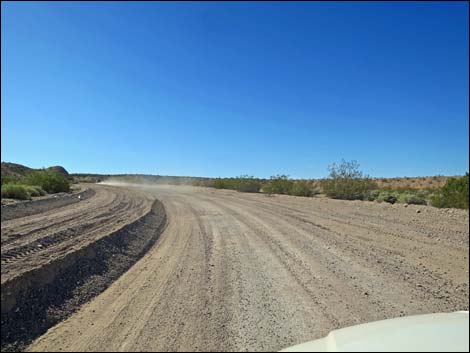
 Crossing open desert heading for the next curve (view SW) |
 Approaching curve and washed-out pavement (view SW) |
 Approaching caution sign: slow, curve ahead sign (view SW) |
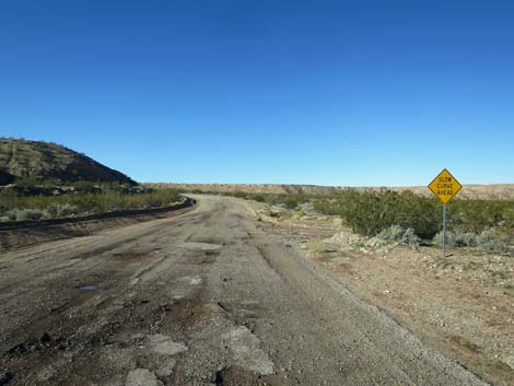 Caution sign: slow, curve ahead sign (view SW) |
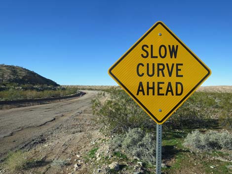 Caution sign: slow, curve ahead sign (view SW) |
 Entering curve and washed-out pavement (view SW) |
 Starting onto 300 yards of washed-out pavement (view SW) |
 Finishing 300 yards of washed-out pavement (view SW) |
 Beyond the washed-out pavement (view S) |
 Vehicle at Virgin River Valley Overlook Campsites (view SW) |
 GB Road at Virgin River Valley Overlook Camp Road (view S) |
 Virgin River Valley Overlook Camp Road (view W from GB Rd) |
 Approaching a short side road (view S) |
 Short side road to nowhere makes an acceptable campsite (view S) |
 Climbing into the hills (view SE) |
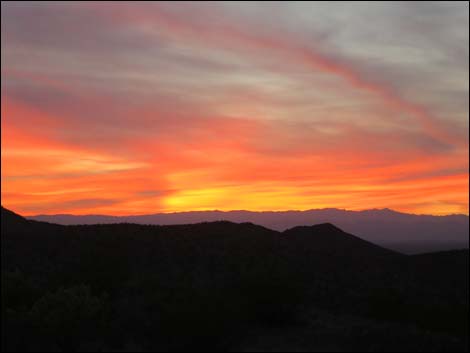 Sunset from Gold Butte Road (view W from roadside) |
 Gold Butte Road approaching information sign (view SE) |
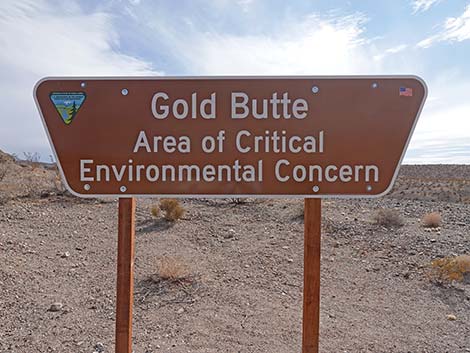 Sign: Gold Butte Area of Critical Environmental Concern (view SE) |
 Along bluffs overlooking a wash (view S) |
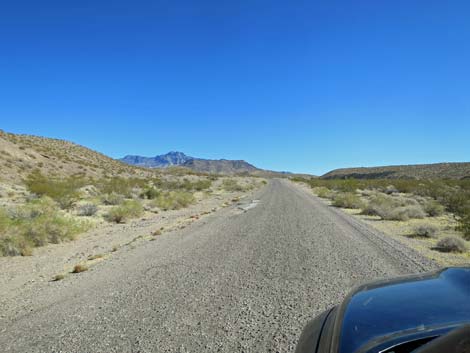 Virgin Peak comes back into view (view SE) |
 Approaching a caution sign (view SE) |
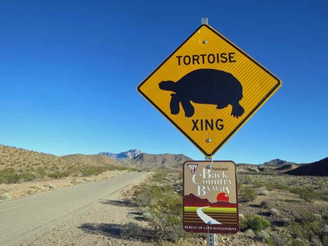
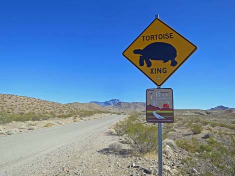 Desert Tortoise crossing and Gold Butte Back Country Byway sign |
 Following along more bluffs next to a wash (view SE) |
 Following along bluffs next to a wash (view SE) |
 Approaching Juanita Springs oasis (view SE) |
 Approaching Juanita Springs oasis (view SE) |
 Juanita Springs oasis (view SE) |
 Approaching Juanita Springs Ranch Road (view S) |
 Seasonal sign at Juanita Springs Ranch (view S) |
 Seasonal sign (April Fool's Day) at Juanita Springs Ranch (view S) |
 Approaching entrance to Juanita Springs Ranch (view S) |
 Gold Butte Road at Juanita Springs Ranch Road (view SW) |
 Juanita Springs Ranch Road (view W) |
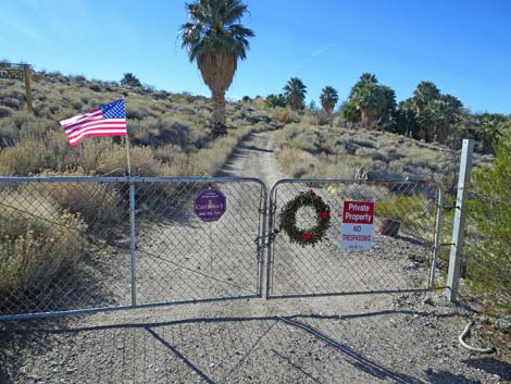 The Juanita Springs Ranch folks like their privacy (view W) |
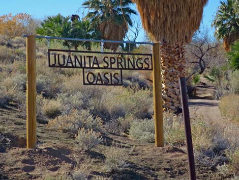 Juanita Springs Oasis sign (view W) |
 Bumps and potholes just past Juanita Springs gate (view S) |
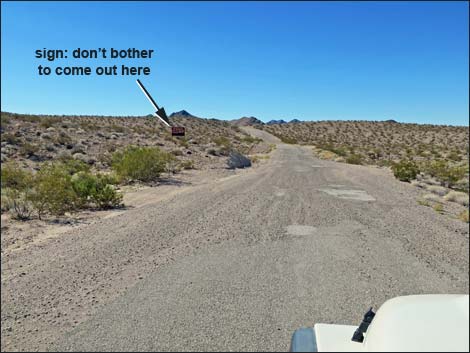 Approaching "Local Color" signs (view SW) |
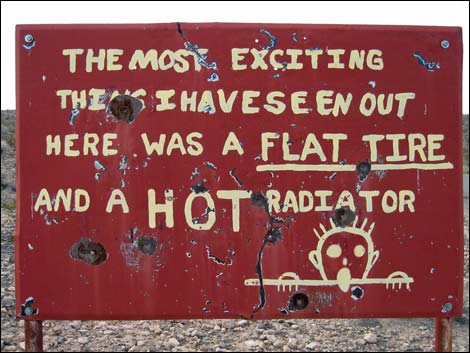 Local color: Ney's Sign on private property along Gold Butte Rd |
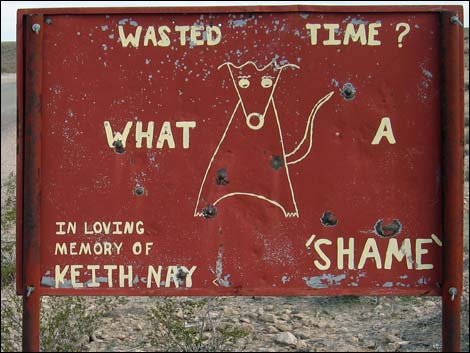 Local color: Ney's Sign on private property along Gold Butte Rd |
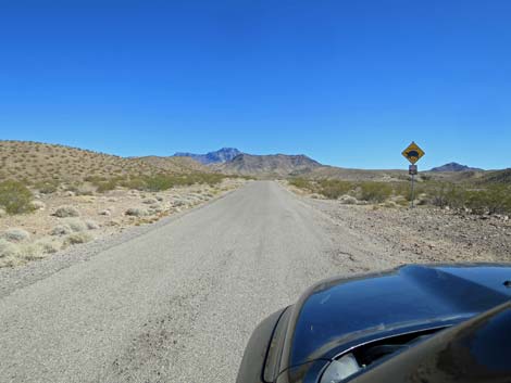
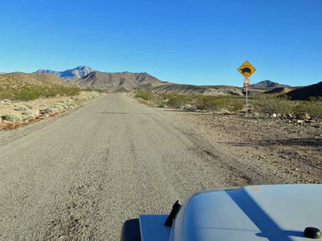 Caution: watch for desert tortoises on the road (view SE) |
 Caution: watch for desert tortoises on the road (view SE) |
 Gold Butte Road with potholes (view S) |
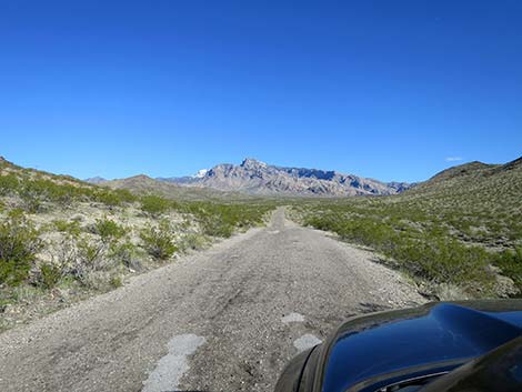
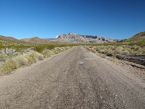
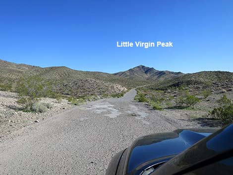 Little Virgin Peak ahead (view SE) |
 Looking ahead towards Big and Little Virgin Peaks (view SE) |
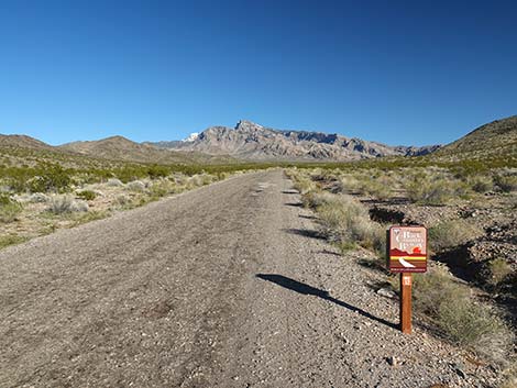
 Approaching Little Virgin Wash Rd and Gold Butte Boundary sign |
 Gold Butte Road at Little Virgin Wash Road (view S) |
 Approaching temporary Gold Butte Boundary sign (view S) |
 Gold Butte Boundary sign (view S) |
 Gold Butte boundary sign (view SE) |
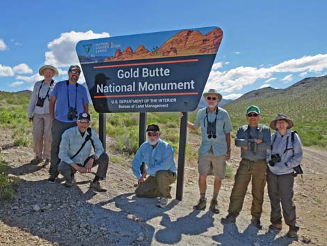 Everyone stops at the boundary sign for a group photo (view S) |
 "Big" Virgin Peak (view SE from boundary sign) |
 Little Virgin Peak ahead (view S from boundary sign; zoom) |
 Gold Butte Road departing the boundary sign (view SE) |
 Gold Butte Road starting up over Little Virgin Pass (view SE) |
 Approaching National Back Country Byway sign (view SE) |
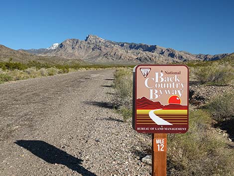 National Back Country Byway sign, Mile Post 12 (view SE) |
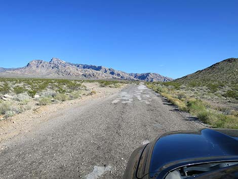
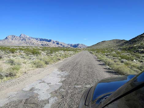 Gold Butte Road (view SE) |
 Approaching Key West Spring Road (view SE) |
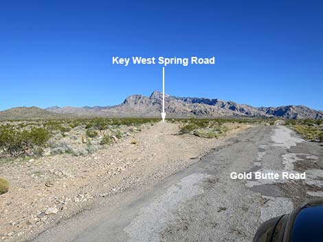 Key West Spring Road (view SE from Gold Butte Road) |
 Road climbs along base of Little Virgin Peak (view SE) |
 Crossing over Little Virgin Pass (view S) |
 Approaching Little Virgin Peak Trailhead at toe of ridge (view S) |
 Approaching Little Virgin Peak Trailhead (view S) |
 Little Virgin Peak trailhead on road shoulder (view S) |
 Vehicle at Little Virgin Peak trailhead (view S) |
 Descending past Little Virgin Peak trailhead (view S) |
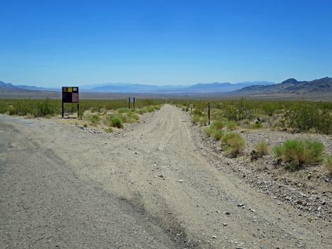
 Gold Butte Road descending towards Fisherman Cove Road (view S) |
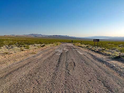 Gold Butte Road approaching Fisherman Cove Road (view S) |
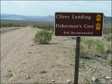
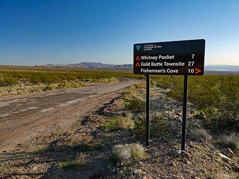 Fisherman Cove Road sign (view S) |
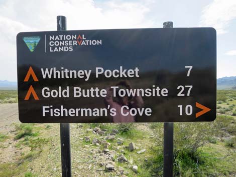 Fisherman Cove Road sign (view S) |
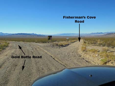 Gold butte Road at Fisherman Cove Road (view SW) |
 Fisherman Cove Road (view SW from Gold Butte Road) |
 Fisherman Cove Road sign (view SW; sign missing since 2015) |
 Fisherman Cove information sign during summer (view S) |
 Fisherman Cove Road information sign during summer (view SW) |
 Fisherman Cove information sign after a winter storm (view S) |
 Fisherman Cove information sign after a winter storm (view S) |
 Gold Butte Road continues (view S) |
 Gold Butte Road approaching Gravel Pit Campsite Road (view S) |
 Gravel Pit Campsite Road (view NE from Gold Butte Road) |
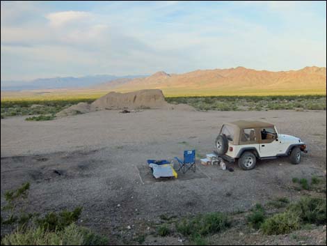 Sunrise at the Gravel Pit campsite (view W) |
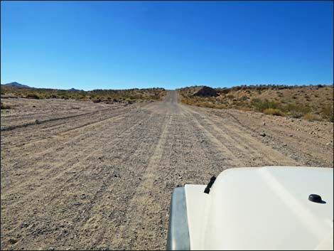
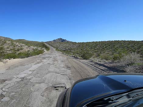
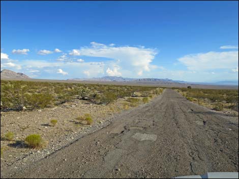
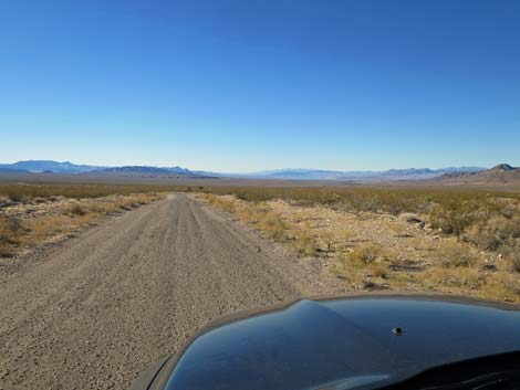
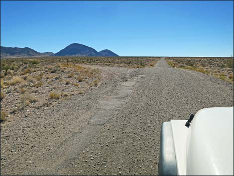
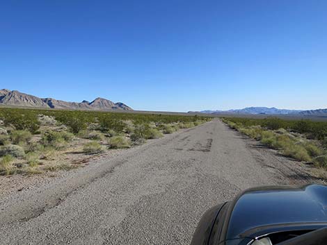 Gold Butte Road on long, rolling flats; notice rough pavement |
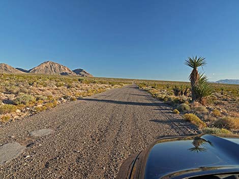 Tall Mojave Yucca along the road |
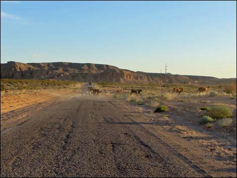
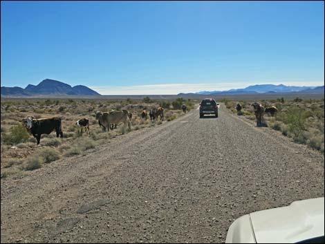 Bundy trespass cattle: road hazards -- especially at night! |
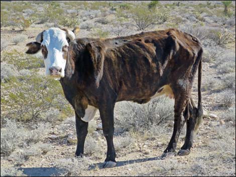 Starving Bundy trespass cattle: is this animal abuse? |
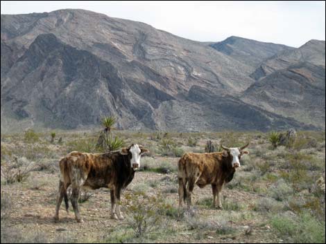 Bundy trespass cattle: road hazards |
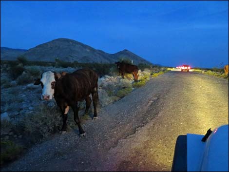 Bundy trespass cattle: road hazards -- especially at night! |
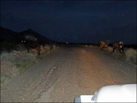 Bundy cattle: how many sets of eyeshine do you see? |
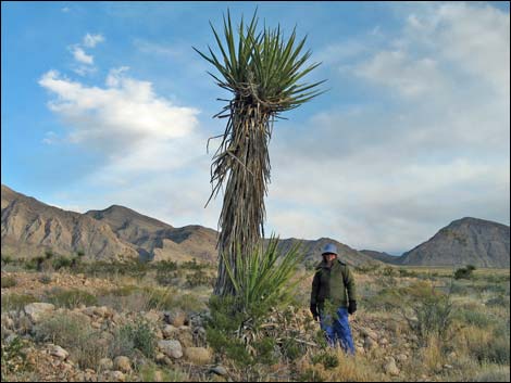 Tall Mojave Yucca along the road |
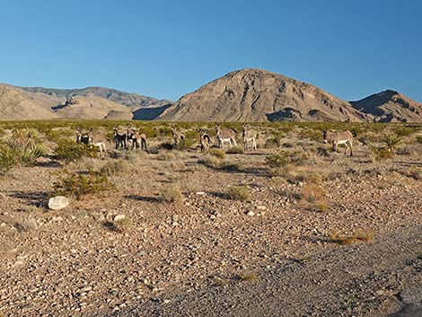 Feral Burros along Gold Butte Road (view SE) |
 Side road parallels GB Road and eventually returns to the pavement |
 Caution: watch for desert tortoises on the roadway (view SE) |
 Whitney Pocket on the horizon (view SE) |
 Parallel road returns to Gold Butte Road (view SE) |
 Approaching first of the sandstone crags (view SE) |
 Gold Butte Road approaching Black Butte Road (Falling Man Road) |
 Gold Butte Road at Black Butte Road (Falling Man Road; view SE) |
 Black Butte Road (Falling Man Road; view S from Gold Butte Road) |
 Approaching First Rock Campsite area (view S) |
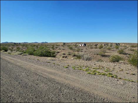
 Cell phone parking lot, on the right (view S) |
 Cell phones usually work here, especially Verizon phones (view S) |
 Approaching First Rock Campsite area (view S) |
 Approaching First Rock Campsite area (view S) |
 Gold Butte Road, approaching road to First Rock campsites (view E) |
 Whitney Pocket in the distance; notice smooth pavement (view E) |
 Gold Butte Road approaching First Rock Campsites Road (view E) |
 First Rock Campsites Road (view W from Gold Butte Road) |
 Whitney Pocket in the distance; more smooth pavement (view E) |
 Whitney Pocket in the distance (view SE) |
 Whitney Pocket in the distance (view E) |
 Side road to nowhere at last curve before Whitney Pocket (view E) |
 Side road at last curve before Whitney Pocket (view E) |
 Approaching main Whitney Pocket area (view S) |
 Always watch for temporary traffic signs (left after flashflood) |
 Approaching sandstone crags of Whitney Pocket (view SE) |
 Approaching Whitney Pocket (view SE) |
 Approaching Whitney Pocket (view SE) |
 Looking back at first campsite at Whitney Pocket, proper (view W) |
 End of the pavement at Whitney Pocket |
 Whitney Pocket destination sigh with directions to other areas |
Table 1. Highway Coordinates Based on GPS Data (NAD27; UTM Zone 11S). Download Highway GPS Waypoints (*.gpx) file.
| Site | Location | UTM Easting | UTM Northing | Latitude (N) | Longitude (W) | Elevation (ft) |
|---|---|---|---|---|---|---|
| 0686 | Hwy 170 at Gold Butte Rd | 36.73178 | 114.21806 | 1,444 | 0.00 | 00.00 |
| 1888 | Gold Butte Rd Kiosk Parking #1 | 36.73129 | 114.21867 | 1,476 | 0.05 | 00.05 |
| 0687 | Gold Butte Rd at side road | 36.67138 | 114.29045 | 1,384 | 6.50 | 06.55 |
| 1772 | Gold Butte Rd at Virgin River Overlook Rd | 36.65782 | 114.28518 | 1,661 | 1.00 | 07.55 |
| 1964 | Gold Butte Rd at Little Virgin Wash Rd | 36.61553 | 114.23275 | 2,512 | 4.56 | 12.11 |
| 1965 | Gold Butte Rd at Key West Rd | 36.60962 | 114.21658 | 2,769 | 1.00 | 13.11 |
| 1652 | Gold Butte Rd at Little Virgin Pk TH | 36.60264 | 114.20972 | 2,775 | 0.67 | 13.78 |
| 1653 | Gold Butte Rd at Fisherman Cove Rd | 36.59582 | 114.21142 | 2,692 | 0.48 | 14.26 |
| 1661 | Gold Butte Rd at Borrow Pit Camp Rd | 36.58982 | 114.20947 | 2,638 | 0.43 | 14.69 |
| 1966 | Gold Butte Rd at side road | 36.56352 | 114.19561 | 2,761 | 1.99 | 16.68 |
| 1967 | Gold Butte Rd at twin side roads | 36.53771 | 114.16791 | 2,879 | 2.39 | 19.07 |
| 1004 | Gold Butte Rd at Black Butte Rd | 36.53038 | 114.16183 | 2,776 | 0.61 | 19.68 |
| 1768 | Gold Butte Rd at First Rock Camp Rd | 36.52907 | 114.15882 | 2,782 | 0.20 | 19.88 |
| 0461 | Gold Butte Rd at End of Pavement | 36.52424 | 114.14045 | 3,023 | 1.19 | 21.07 |
| 1657 | Gold Butte Rd at Day-Use Parking | 36.52359 | 114.14025 | 2,961 | 0.05 | 21.12 |
| 0462 | Gold Butte Rd at Whitney Pass Rd | 36.52332 | 114.14001 | 3,013 | 0.02 | 21.14 |
| 1939 | Whitney Pocket Day-Use Parking | 36.52282 | 114.14057 | 3,012 | 0.00 | 21.14 |
| 1889 | Gold Butte Rd at Hill Climb Rd | 36.48434 | 114.16511 | 2,481 | 3.15 | 24.29 |
| 1904 | Gold Butte Rd at Cattle Guard | 36.48021 | 114.16730 | 2,423 | 0.31 | 24.60 |
| 1649 | Gold Butte Rd at Mud Wash N Rd | 36.47545 | 114.16421 | 2,388 | 0.39 | 24.99 |
| 1891 | Gold Butte Rd at Gypsum Rd N | 36.47423 | 114.16292 | 2,456 | 0.11 | 25.10 |
| 1892 | Gold Butte Rd at Gypsum Rd S | 36.47299 | 114.16118 | 2,484 | 0.13 | 25.23 |
| 1893 | Gold Butte Rd at Old GB Loop Rd N | 36.44186 | 114.14999 | 2,287 | 2.33 | 27.56 |
| 1894 | Gold Butte Rd at Old GB Loop Rd S | 36.43668 | 114.14736 | 2,250 | 0.40 | 27.96 |
| 0807 | Gold Butte Rd at Mud Wash Rd | 36.43257 | 114.14381 | 2,244 | 0.36 | 28.32 |
| 1895 | Gold Butte Rd at Tramp Ridge NE Rd | 36.42542 | 114.13705 | 2,222 | 0.63 | 28.95 |
| 1694 | Gold Butte Rd at Mud Hills Corral Rd | 36.42202 | 114.13044 | 2,379 | 0.44 | 29.39 |
| 1897 | Gold Butte Rd at Mud Wash Spur Rd | 36.41919 | 114.12799 | 2,356 | 0.24 | 29.63 |
| 0796 | Gold Butte Rd St Thomas Gap Rd | 36.41359 | 114.12358 | 2,427 | 0.46 | 30.09 |
| 1898 | Gold Butte Rd at St Thomas Gap Spur Rd | 36.41174 | 114.12302 | 2,316 | 0.14 | 30.23 |
| 1968 | Drill Site campsite | 36.35972 | 114.13756 | 2,887 | 2.90 | 33.13 |
| 1969 | Gold Butte Rd at Paradise Peak Trail | 36.35112 | 114.13913 | 3,090 | 0.79 | 33.92 |
| 1785 | Gold Butte Rd at Horse Spr North Rd | 36.34499 | 114.14417 | 3,067 | 5.07 | 35.30 |
| 1780 | Gold Butte Rd at Horse Spring Rd North | 36.32794 | 114.14609 | 3,036 | 1.19 | 36.49 |
| 1781 | Gold Butte Rd at Horse Spring Rd South | 36.32584 | 114.14652 | 3,218 | 0.15 | 36.64 |
| 1880 | Gold Butte Rd at Uranium Mine Rd | 36.31597 | 114.15198 | 3,438 | 0.75 | 37.39 |
| 0797 | Gold Butte Rd at Devils Cove Rd | 36.31314 | 114.15531 | 3,509 | 0.27 | 37.66 |
| 1900 | Gold Butte Rd at Horse Valley Guzzler | 36.31226 | 114.15683 | 3,638 | 0.10 | 37.76 |
| 1696 | Gold Butte Rd at Vermiculite Mine Rd | 36.29655 | 114.16691 | 3,723 | 1.24 | 39.00 |
| 1857 | Gold Butte Rd at Paradise Guzzler | 36.29287 | 114.17728 | 3,862 | 0.66 | 39.66 |
| 1901 | Gold Butte Rd at Black Jack Mine Road | 36.28747 | 114.19254 | 3,929 | 0.97 | 40.63 |
| 1650 | Gold Butte Rd at Voight Well Rd E | 36.28509 | 114.19479 | 3,755 | 0.21 | 40.84 |
| 1902 | Gold Butte Rd at Gold Butte Airstrip Rd | 36.28458 | 114.19542 | 3,677 | 0.05 | 40.89 |
| 1651 | Gold Butte Rd at Voight Well Rd W | 36.28353 | 114.19650 | 3,751 | 0.09 | 40.98 |
| 1648 | Gold Butte Rd at GB Townsite Rd E | 36.28113 | 114.20041 | 3,727 | 0.28 | 41.26 |
| 0806 | Gold Butte Rd at Red Bluff Spr Rd | 36.28093 | 114.20109 | 3,727 | 0.04 | 41.30 |
Happy Hiking! All distances, elevations, and other facts are approximate.
![]() ; Last updated 241115
; Last updated 241115
| Backroads Around Gold Butte | Hiking Around Las Vegas | Glossary | Copyright, Conditions, Disclaimer | Home |