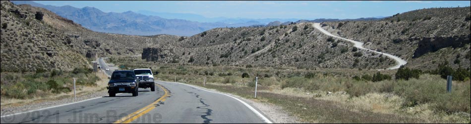
Backroads Around Las Vegas, Spring Mountains (Mt. Charleston)
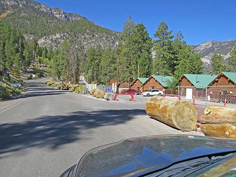
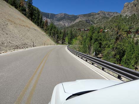
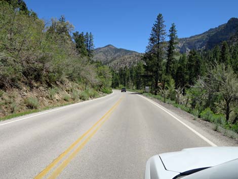
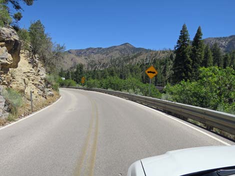
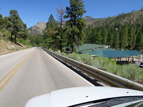
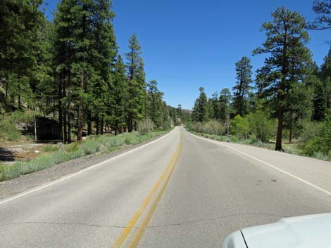
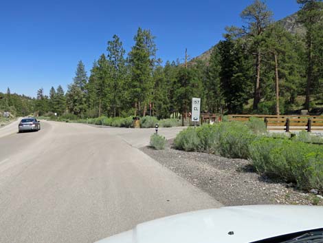
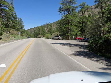
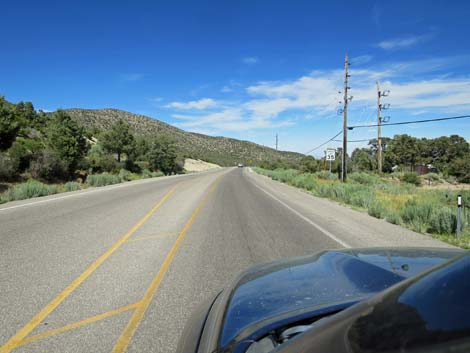
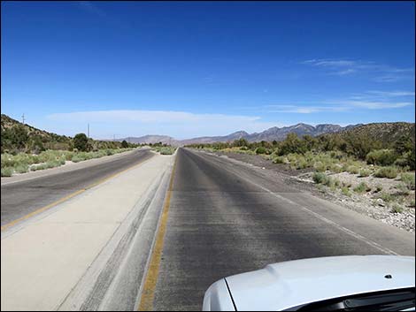
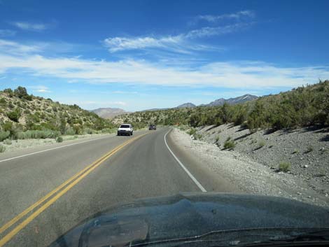
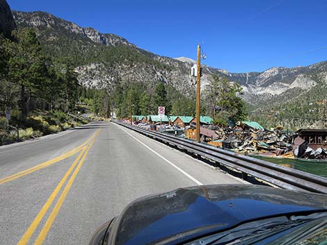 Around the loop, returning past Mt. Charleston Lodge (view W) |
Overview Kyle Canyon Road is a maintained state highway (Hwy 157) that runs west from U.S. Highway 95 to the top of Kyle Canyon in the high mountains of the Spring Mountains National Conservation Area. The road begins low in the desert and climbs through several life zones to a cool, high-elevation forested canyon. Presented here are photos of the road taken while heading downhill towards Highway 95. For a full discussion of the road, see Kyle Canyon Road. |
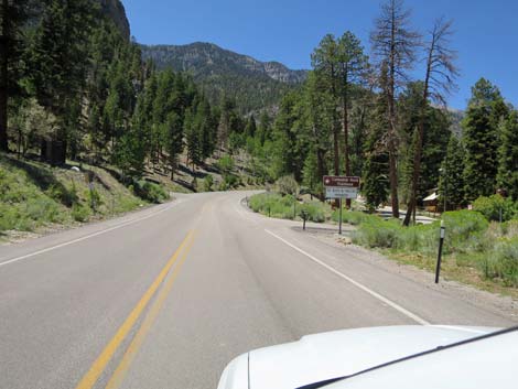
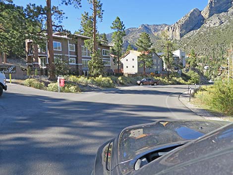
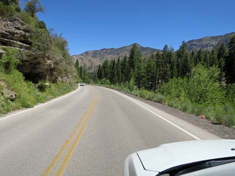
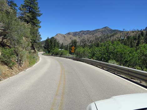
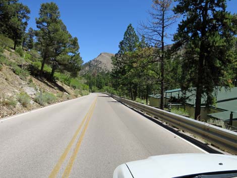
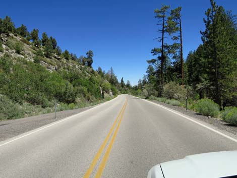
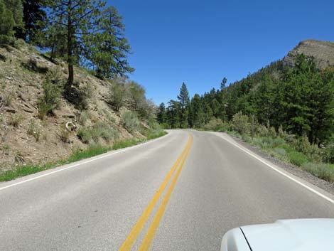
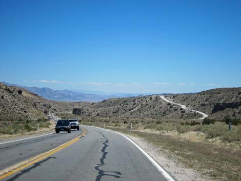
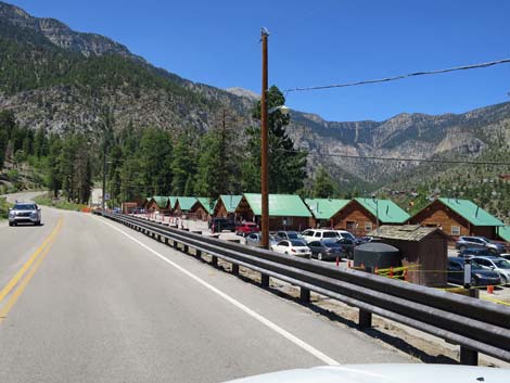 Kyle Canyon Road passing Mt. Charleston Lodge (view W) |
 Kyle Canyon Road passing Mt. Charleston Lodge (view W) |
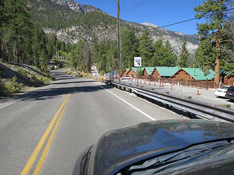
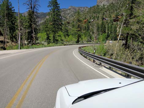
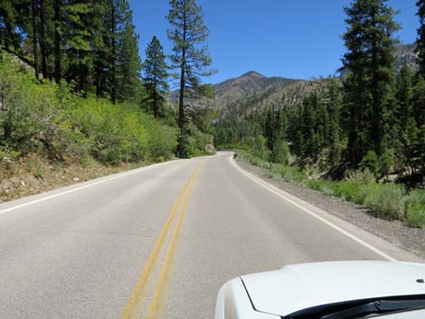
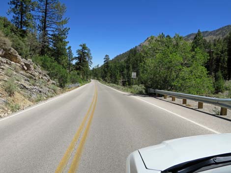
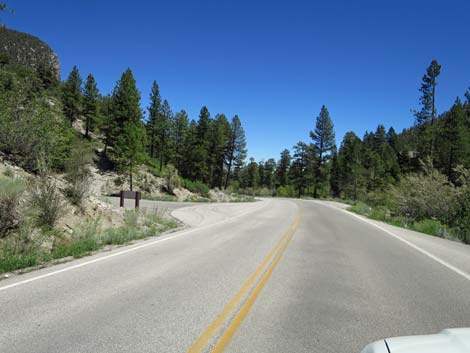
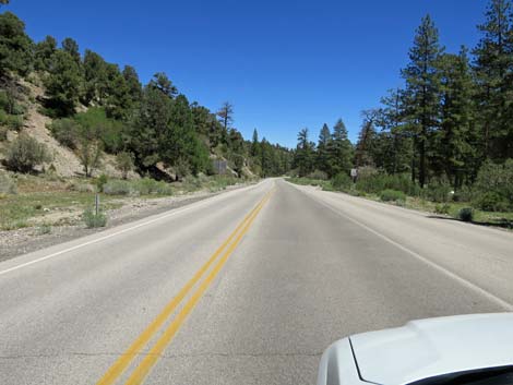
 Returning past entrance to Mt. Charleston Lodge (view W) |
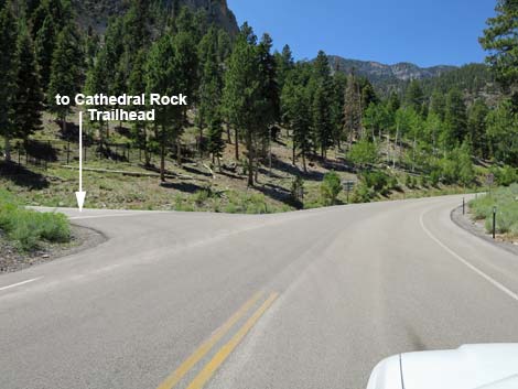
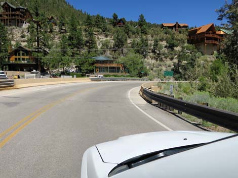
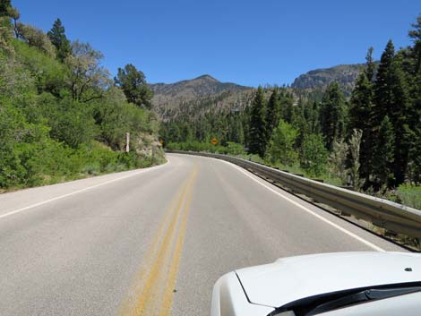
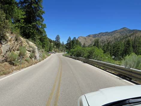
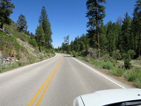
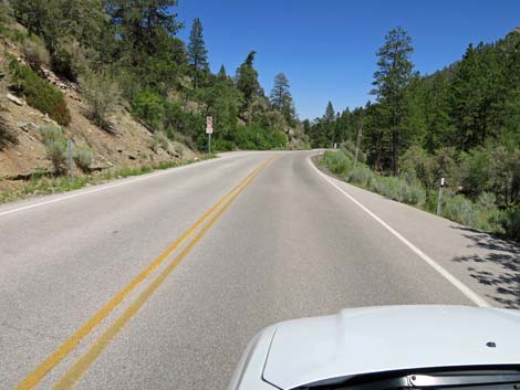
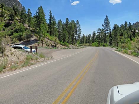
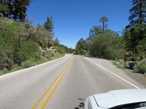
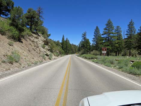
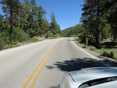
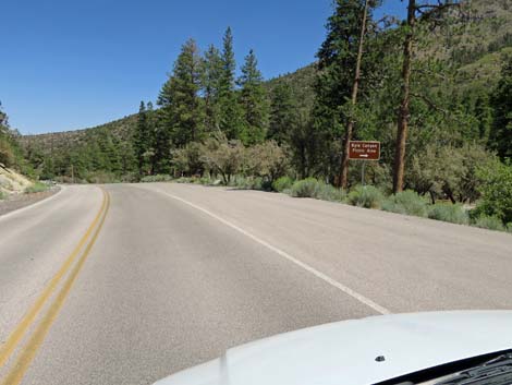
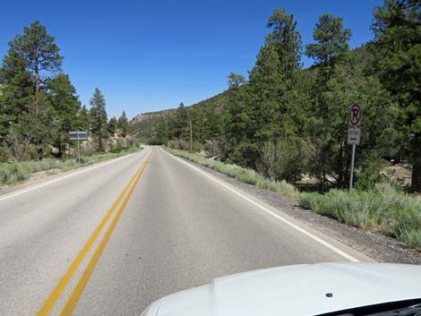
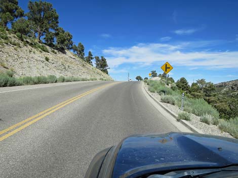
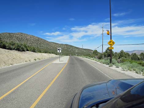
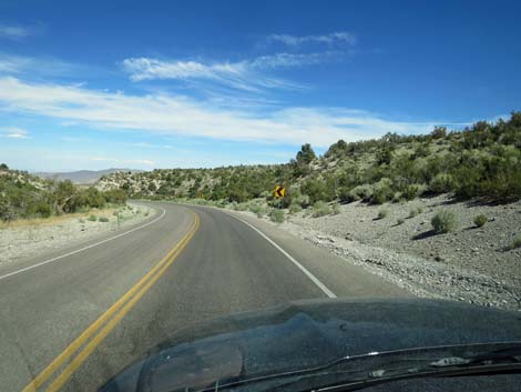
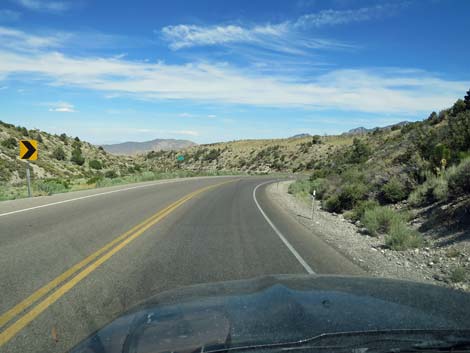
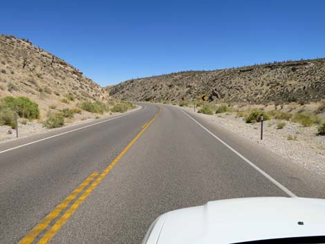
 Kyle Canyon Rd approaching Cathedral Rock Trailhead sign (view W) |
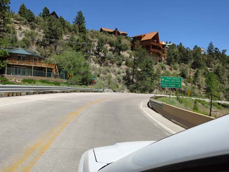
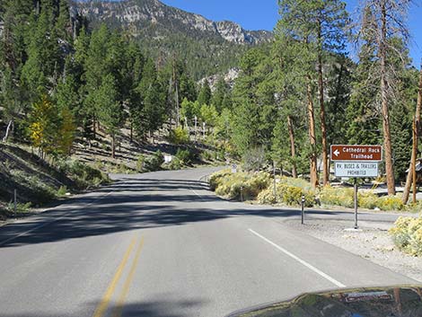 Kyle Canyon Rd at Cathedral Rock Trailhead sign (view W) |
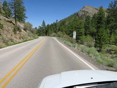
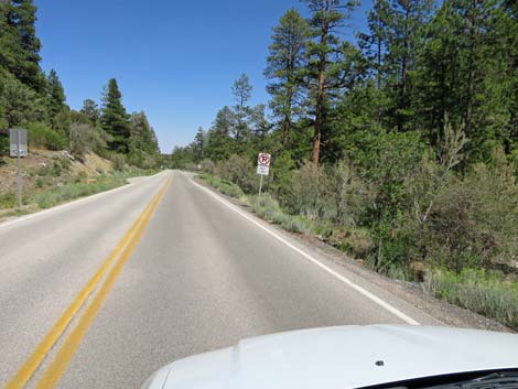
 Kyle Canyon Road approaching Cathedral Rock Trailhead Road |
 Kyle Canyon Road at Cathedral Rock Trailhead Road (view W) |
 Kyle Canyon Road passing private home on the right (view NW) |
 Kyle Canyon Road passing private condos (view NW) |
 Kyle Canyon Road passing condos on the left (view N) |
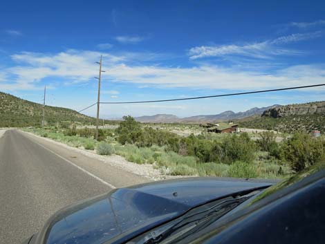
 Kyle Canyon Road descending towards Kyle Wash (view NW) |
 Kyle Canyon Road descending towards Kyle Wash (view NW) |
 Kyle Canyon Road approaching Kyle Wash (view NW) |
 Kyle Canyon Road approaching bridge over Kyle Wash (view NW) |
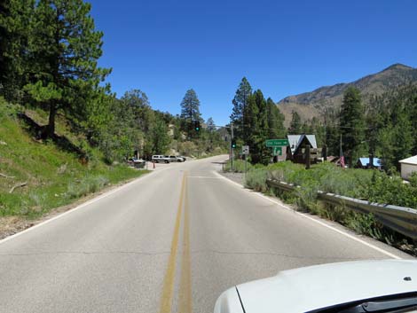
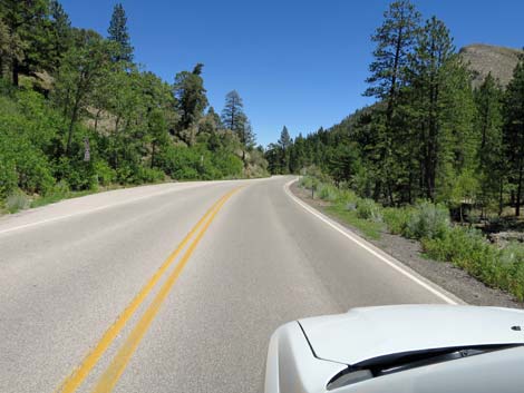
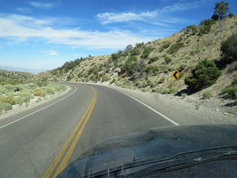
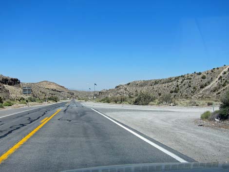
 Kyle Canyon Road approaching Echo Road, on the left (view NE) |
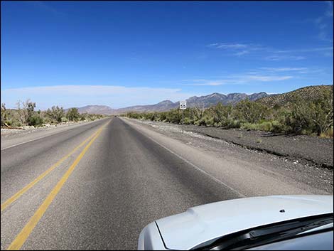
 Kyle Canyon Road; 25 mph speed limit (view E) |
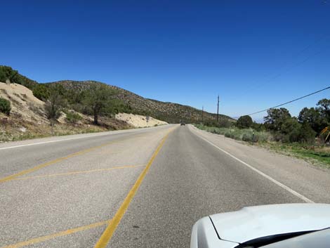
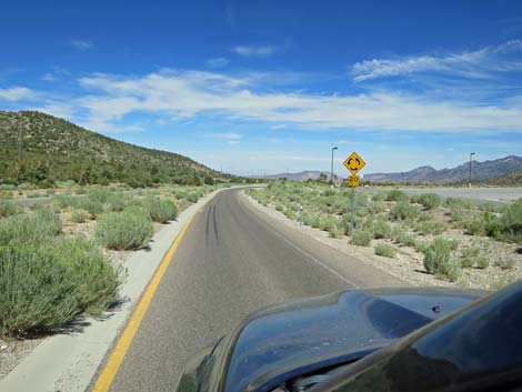
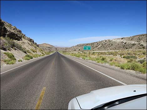
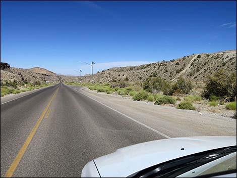
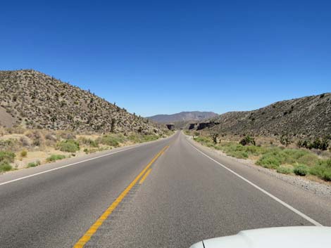
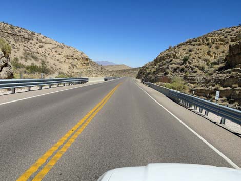
 Kyle Canyon Road (view E) |
 Kyle Canyon Road (view E) |
 Kyle Canyon Road (view E) |
 Sign: caution -- fire station ahead (view E) |
 Sign: caution -- emergency stop light at fire station (view E) |
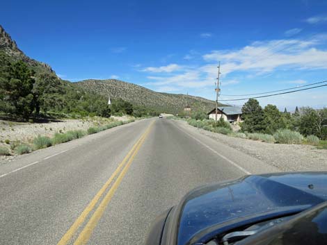
 Kyle Canyon Road approaching Old Town fire station (view E) |
 Kyle Canyon Road approaching Old Town (view E) |
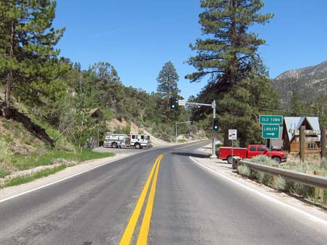 Kyle Canyon Road approaching fire station (view E) |
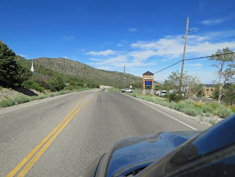
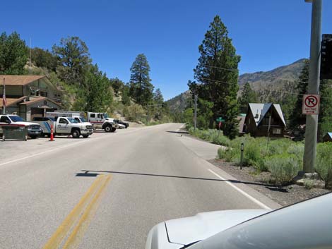 Kyle Canyon Road entering Old Town (view E) |
 Kyle Canyon Road passing through Old Town (view E) |
 Kyle Canyon Road passing through Old Town (view E) |
 Kyle Canyon Road passing through Old Town (view E) |
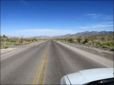
 Kyle Canyon Road passing Mt Charleston Elementary School (view E) |
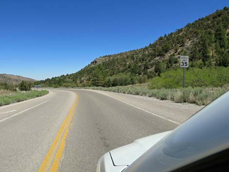
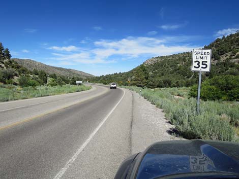
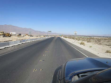
 Speed limit increases to 35 mph (view E) |
 |
 |
 |
 |
 |
 |
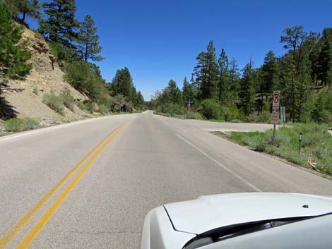
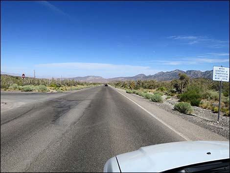
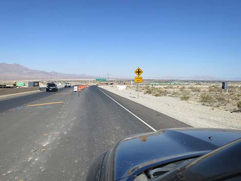
 Kyle Canyon Road approaching Stanley B Trailhead (view E) |
 Kyle Canyon Road arriving at Stanley B Trailhead (view E) |
 |
 |
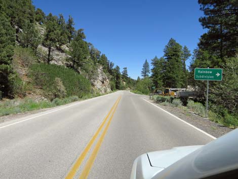 Kyle Canyon Road at Ponderosa Pine Dr (Rainbow Subdivision) |
 Kyle Canyon Road at Rainbow Canyon Blvd (Rainbow Subdivision) |
 |
 |
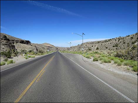
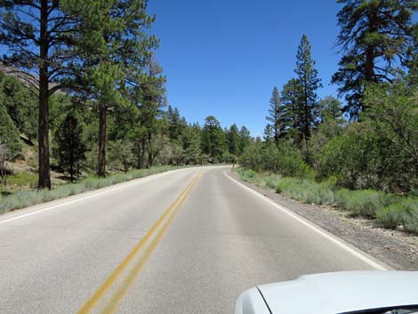 Kyle Canyon Road (view E) |
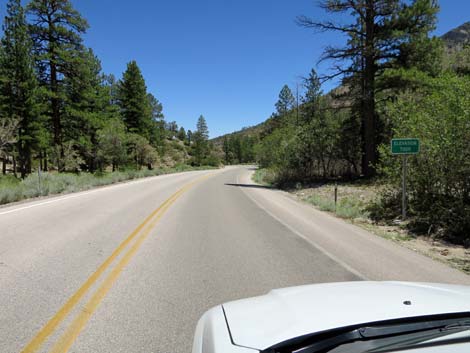 Kyle Canyon Road dropping below 7,000 feet elevation (view E) |
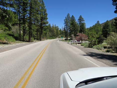
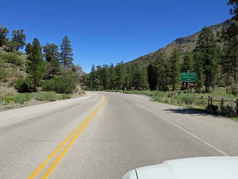 Kyle Canyon Road approaching Fletcher View Campground (view E) |
 Kyle Canyon Road at Fletcher View Campground Road (view E) |
 Kyle Canyon Road (view E) |
 Sign: approaching Fletcher Canyon Trailhead (view E) |
 Sign: caution -- watch for pedestrians on roadway (view E) |
 Kyle Canyon Road approaching Fletcher Canyon Trailhead (view E) |
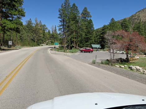 Kyle Canyon Road approaching Fletcher Canyon Trailhead |
 Kyle Canyon Road passing Fletcher Canyon Trailhead |
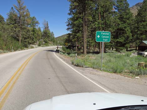 Sign: Fletcher Canyon Trail, to the left (view E) |
 Kyle Canyon Road approaching Fletcher Canyon Trail crossing |
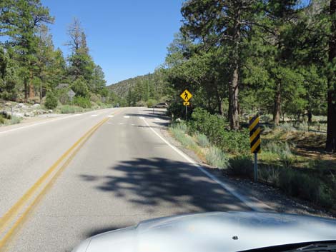 Kyle Canyon Road approaching Fletcher Canyon Trail crosswalk |
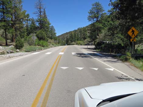 Kyle Canyon Road at Fletcher Canyon Trail crosswalk |
 Kyle Canyon Road passing Fletcher Canyon Trail crosswalk |
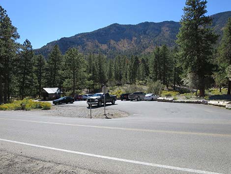
 Kyle Canyon Road at Fletcher Canyon Trailhead overflow parking |
 Kyle Canyon Road approaching Kyle Canyon Campground |
 Kyle Canyon Road at Fletcher View Campground (view SE) |
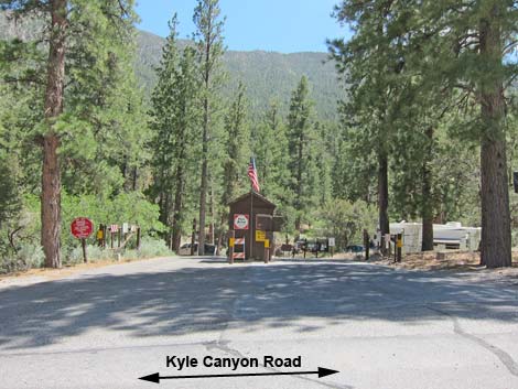 Kyle Canyon Campground entrance (view S from Kyle Canyon Road) |
 Kyle Canyon Road beyond Fletcher View Campground (view SE) |
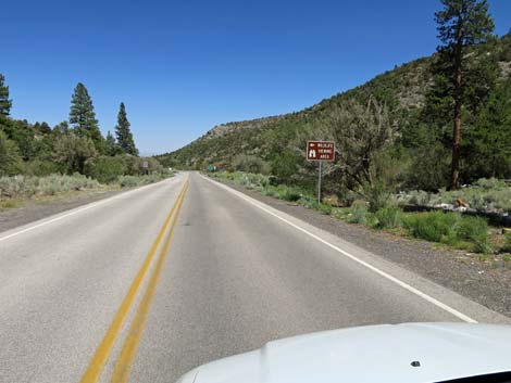 Sign: wildlife viewing area, to the left (view E) |
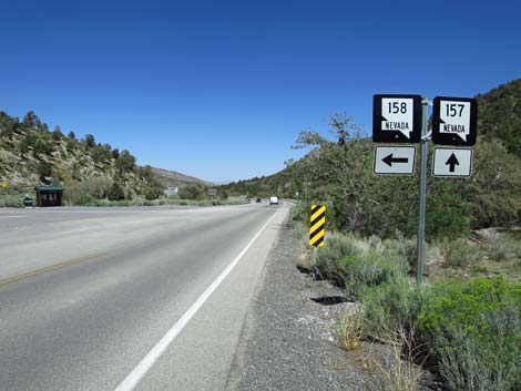
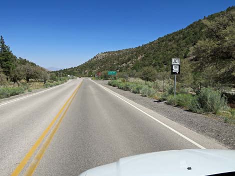 Sign: Highway 158 junction ahead (view E) |
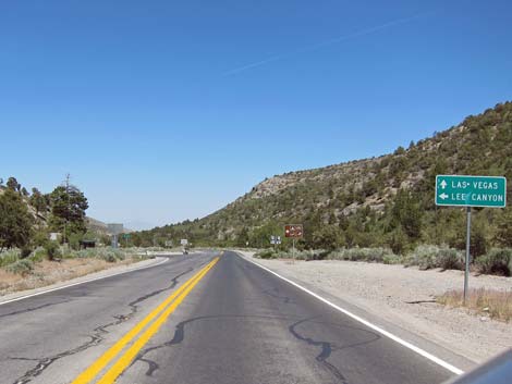
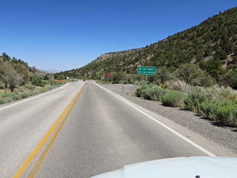 Sign: Las Vegas straight; Lee Canyon left (view E) |
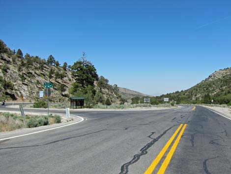
 Kyle Canyon Road approaching Deer Creek Road (view E) |
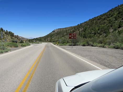 Sign: campground, picnic area, snow play, ski hill to the left |
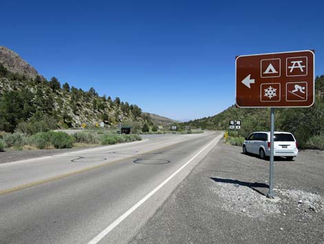 Sign: campground, picnic area, snow play, ski hill to the left |
 Kyle Canyon Road approaching Deer Creek Road (view E) |
 Sign: Deer Creek Road left; Kyle Canyon Road straight (view E) |
 Kyle Canyon Road at Deer Creek Road (view E) |
 Kyle Canyon Road passing Deer Creek Road (view E) |
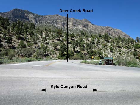 Deer Creek Road (view N from Kyle Canyon Road) |
 Sign: speed limit remains 35 mph (view E) |
 Nevada Highway Patrol tends to watch this area carefully (view E) |
 Winding towards the mouth of Kyle Canyon (view NE) |
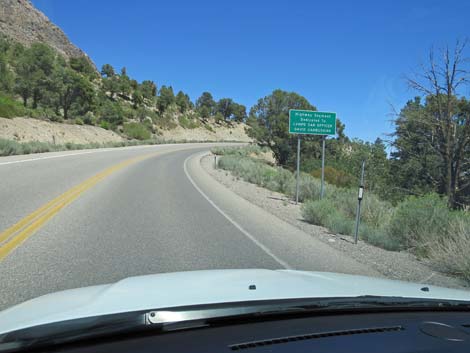 Sign: Officer Vanbuskirk memorial roadway (view NE) |
 Over the crest of the hill, watch for turning vehicles (view E) |
 Kyle Canyon Road at approaching an abandoned building (view E) |
 Kyle Canyon Road at approaching The Retreat on Charleston Peak |
 Kyle Canyon Road at The Retreat on Charleston Peak (view E) |
 Sign: it's still 35 mph here |
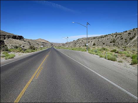
 Kyle Canyon Road (view E) |
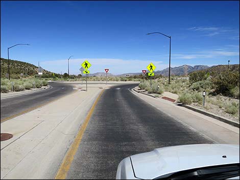
 Divided road approaching round-about (view E) |
 Divided road approaching round-about (view E) |
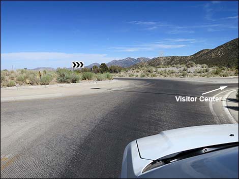
 Spring Mountains Visitor Center visible on the right (view E) |
 Sign: caution -- approaching a round-about (view E) |
 Kyle Canyon Road approaching the round-about (view E) |
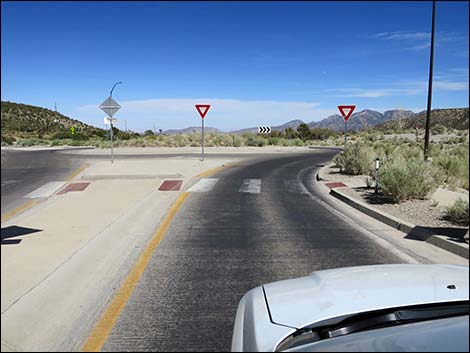 Kyle Canyon Road at the round-about (view E) |
 Kyle Canyon Road entering the round-about (view E) |
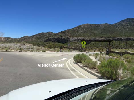 Round-about: right to Visitor Center; left to continue downhill |
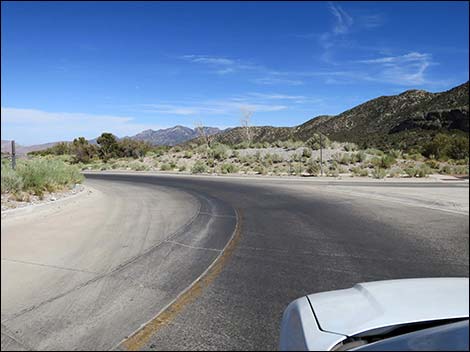 Round-about: Kyle Canyon Road continues straight downhill |
 Kyle Canyon Road exiting the round-about (view E) |
 Kyle Canyon Road continues straight downhill |
 Speed limit increases to 55 mph (but watch downhill speed) |
 Las Vegas Metro Police substation entrance road on the left |
 Nevada Division of Transportation access road on the left |
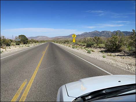
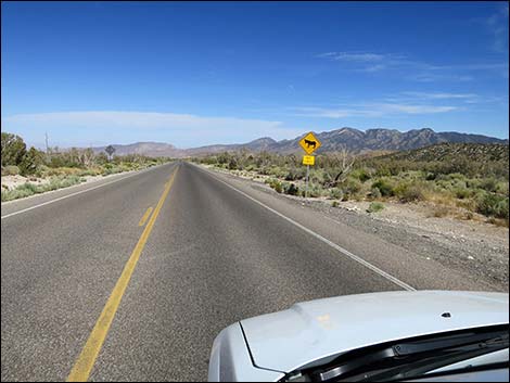 Watch for animals on the highway |
 Caution sign: winding road ahead |
 Smoky Bear gives the fire danger rating |
 Kyle Canyon Road |
 Kyle Canyon Road |
 US Forest Service Administration access road |
 Let the winding road begin |
 Steep, winding road (view E) |
 Steep, winding road (view E) |
 |
 |
 |
 |
 Steep, winding road (view E) |
 The road finally begins to straighten (view E) |
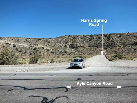
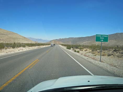
 Kyle Canyon Road approaching Harris Springs Road(view E) |
 Kyle Canyon Road approaching Harris Springs Road |
 Directional sign: Harris Springs Road to the right (view E) Directional sign: Harris Springs Road to the right (view E) |
 Harris Spring Road and information signs, at right |
 Kyle Canyon Road at Harris Spring Road (view E) |
 Harris Spring Road (view S from Kyle Canyon Road) |
 Kyle Canyon Road continuing past Harris Spring Road (view E) |
 Kyle Canyon Road approaching downhill winter chain-up area (view E) |
 Kyle Canyon Road at downhill winter chain-up area (view E) |
 Kyle Canyon Road at uphill winter chain-up area (view E) |
 Kyle Canyon Road exiting Spring Mountains NRA (view E) |
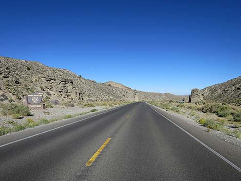 Kyle Canyon Road at Spring Mountains NRA boundary sign (view E) |
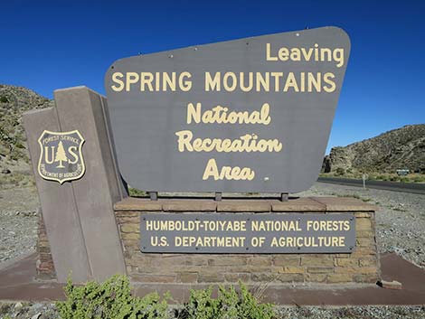 Spring Mountains NRA boundary sign (view E) |
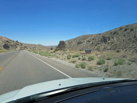 Kyle Canyon Road entering Red Rock Canyon NCA (view E) |
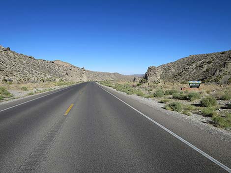 Kyle Canyon Road at Red Rock Canyon NCA sign (view E) |
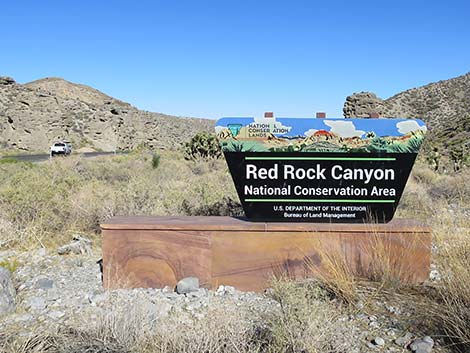 Red Rock Canyon NCA boundary sign (view E) |
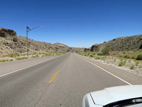
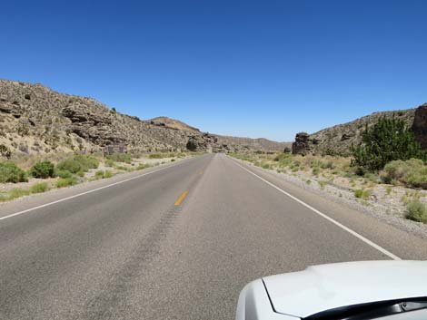
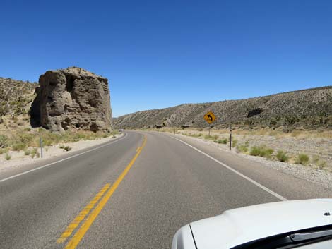
 Interesting erosional forms (hoodoos) |
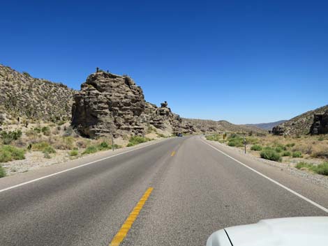
 Watch downhill speed on straight sections (view E) |
 Interesting erosional forms (hoodoos) |
 Sign: caution -- sharp curve ahead |
 |
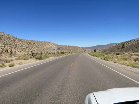 |
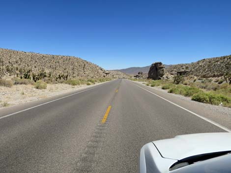 Interesting erosional forms (hoodoos) |
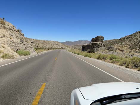 Interesting erosional forms (hoodoos) |
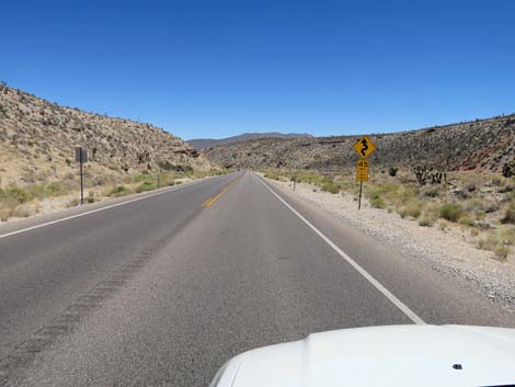 Sign: caution -- 45 mph curves ahead |
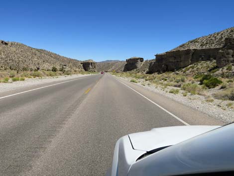
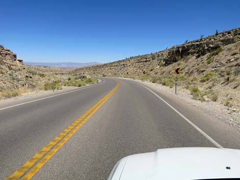
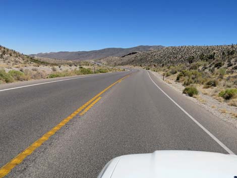
 Kyle Canyon Road (view SE) |
 |
 |
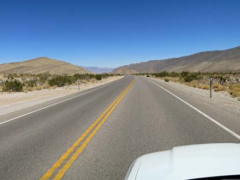
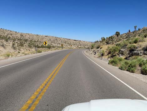 Kyle Canyon Road entering the last set of curves (view E) |
 The end of the winding road is in sight |
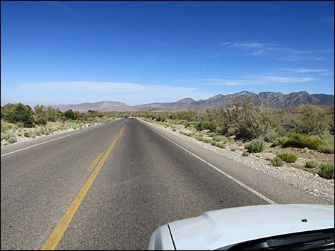
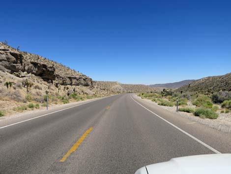
 Out of the wash, Kyle Canyon Road descends desert flats (view E) |
 Directional sign: another longer way to Harris Spring Road (view E) |
 |
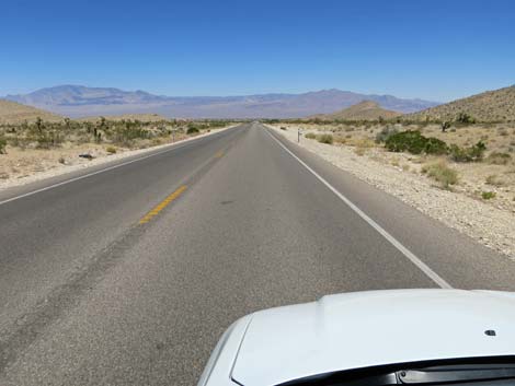 |
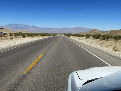 Road descends desert flats |
 The beginning of the rural housing area |
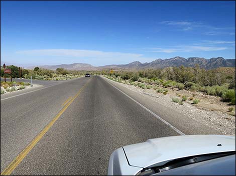
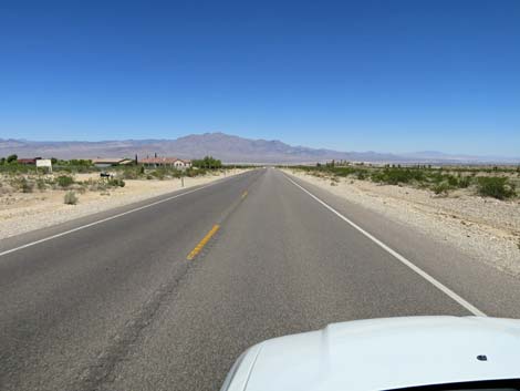 Kyle Canyon Road passing rural housing (view E) |
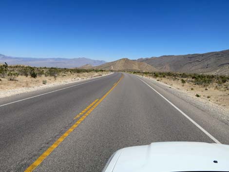
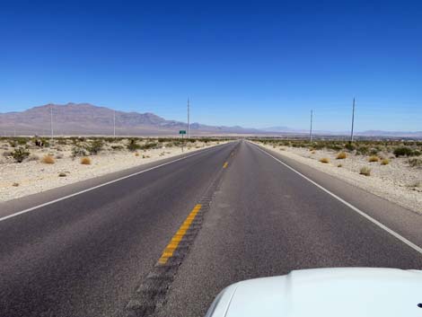 Kyle Canyon Road (view E) |
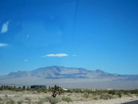 Nice view of the Sheep Range (view NE from Kyle Canyon Road) |
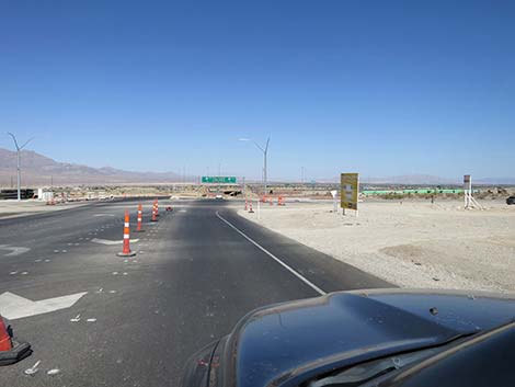
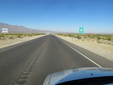 Sign: Approaching intersection with Highway 95 (view E) |
 Speed limit drops to 35 mph (view E) |
 Approaching the "park and ride," now closed (view E) |
 The "park and ride" is now closed (view E) |
 Sign: intersection with Frontage Road (view E) |
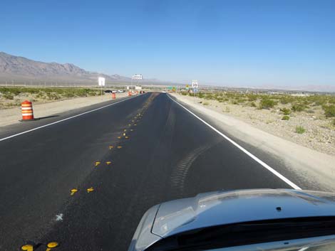
 Approaching intersection with Frontage Road (view E) |
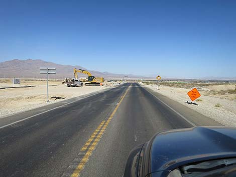
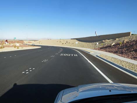
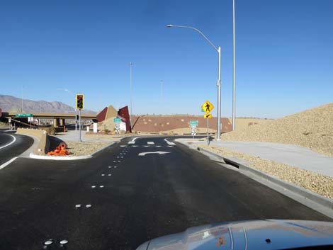
 Past the Frontage Road, lanes get confusing (view E) |
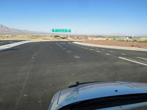
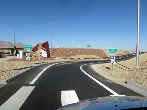
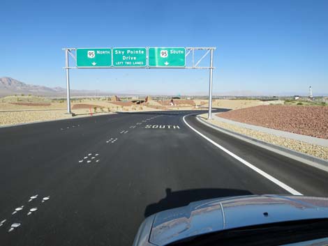 Right lane to Highway 95 southbound (view E) |
 Right lane to Highway 95 southbound (view E) |
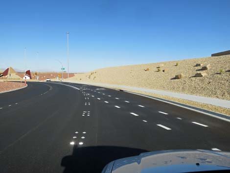 Caution: right lane crosses bicycle lane (view E) |
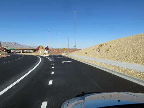 Right lane becomes a typical highway on-ramp (view SE) |
 Caution: watch for pedestrians in crosswalk (view SE) |
 On-ramp lane curves right (view SE) |
 Highway 95 on-ramp (view SE) |
 On-ramp merges with lanes to the left (view SE) |
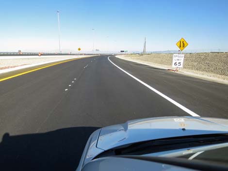 Speed limit increases to 65 mph (view SE) |
 On-ramp merging onto Highway 95 (view SE) |
Happy Hiking! All distances, elevations, and other facts are approximate.
![]() ; Last updated 240329
; Last updated 240329
| Backroads | Hiking Around Las Vegas | Glossary | Copyright, Conditions, Disclaimer | Home |