Hiking Around Las Vegas, Mojave National Preserve
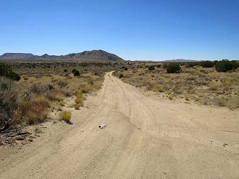
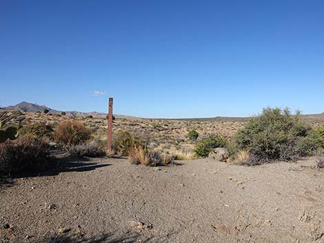
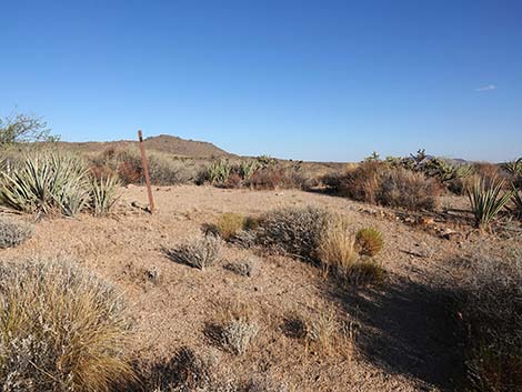
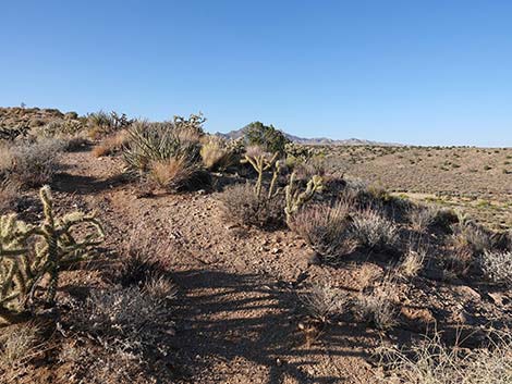
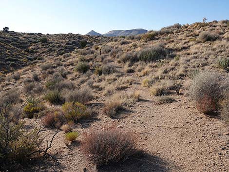
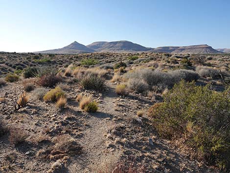
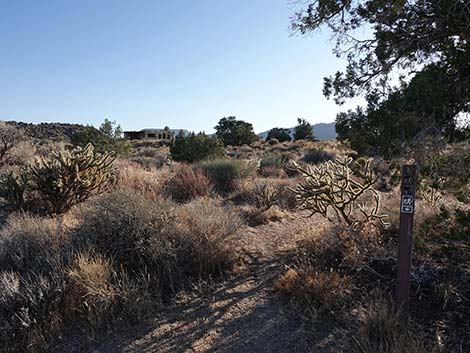
 Sign along Cedar Canyon Road (view ENE) |
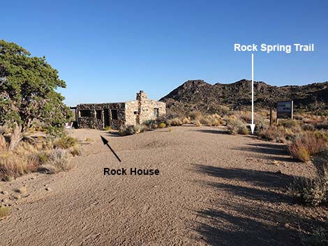
Overview The Rock Spring Loop Trail provides a 1.2-mile hike through high-elevation desert that runs past The Rock House (a home build from local stones) and associated mill site, past an historic water hole (Rock Spring) that was in important stop for historic and prehistoric travelers in this region, and past the site of an 1860s army post established to guard the US mail and travelers on the historic Mojave Road. For information about the area, see the Mojave National Preserve website. Hikers with limited mobility might find one spot on the trail a bit difficult, so for those wishing to only visit the spring and army camp, consider walking the loop "backwards" and returning over the same trail. Link to map. |
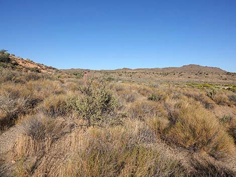
 Sign along Cedar Canyon Road (view ENE) |
Watch Out Other than the standard warnings about hiking in the desert, ... this trail is about as safe and easy as it gets, but the trail descends a few unusually high stairs going down a canyon. While hiking, please respect the land and the other people out there, and try to Leave No Trace of your passage. Also, even though this hike is short, be sure to bring what you need of the 10 Essentials. Please help reserve this historic area: take nothing by photographs, leave nothing but footprints, and try to limit the number of those you leave behind. |
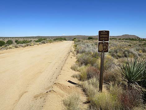
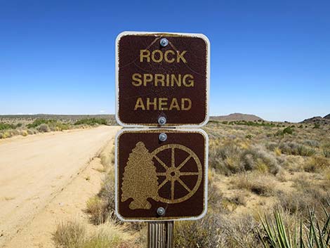
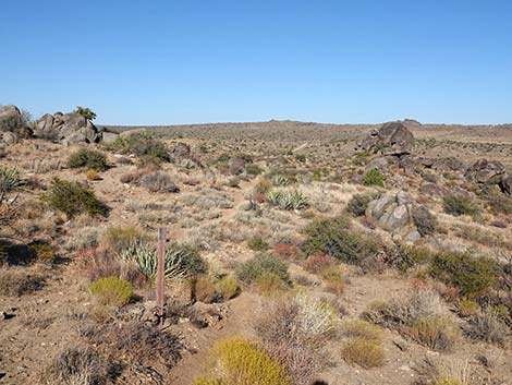
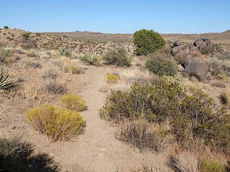
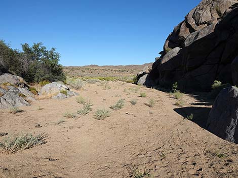
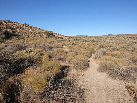
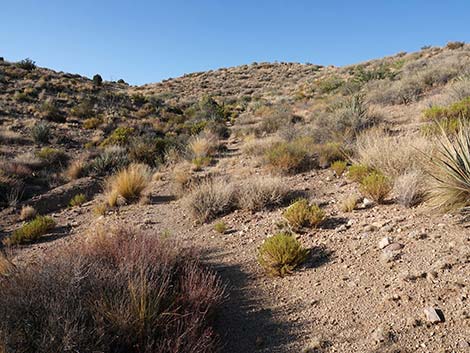
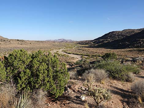
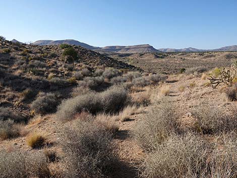
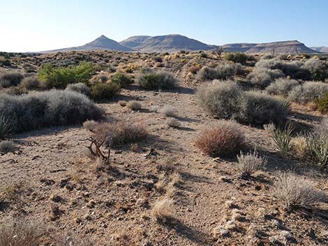
 Cedar Canyon Road approaching Rock Spring Road (view ENE) |
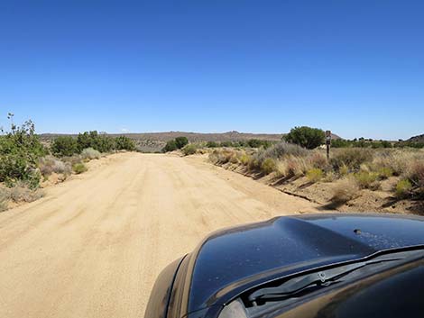
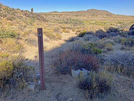
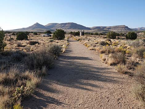
Getting to the Trailhead This hike is located in Mojave National Preserve, about 2 hours south of Las Vegas. From town, drive out to Mojave National Preserve. From the Hole-in-the-Wall Visitor Center, drive north on Black Canyon Road to the T-intersection with Cedar Canyon Road. Turn right and drive east 4.8 miles to Rock Spring Road (Site 1448). Watch for a trail sign on the right. Turn right onto Rock Spring Road and drive southeast (straight) for 0.25 miles to the end of the road and restrooms (Site 1449). Note that the cross-road is the historic Mojave Road. Park by the gate; this is the trailhead. |
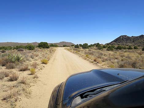
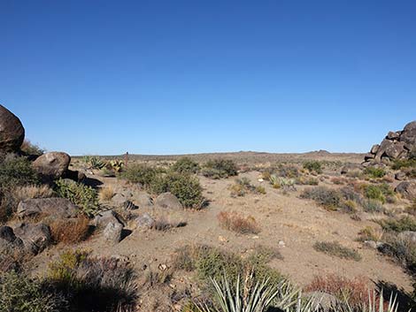
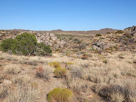
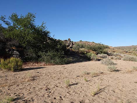
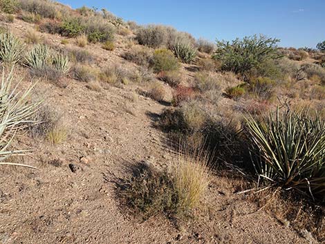
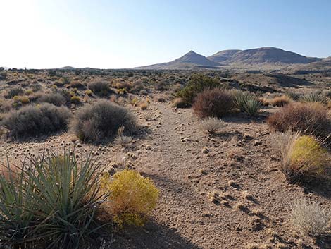
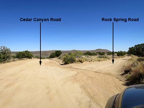 Cedar Canyon Road at Rock Spring Road (view E) |
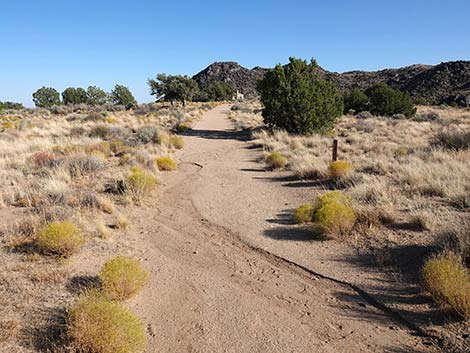
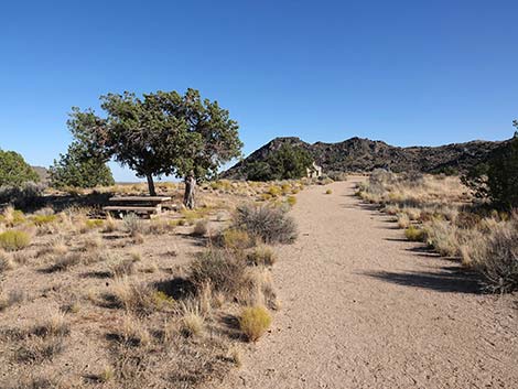
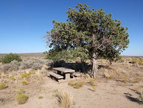
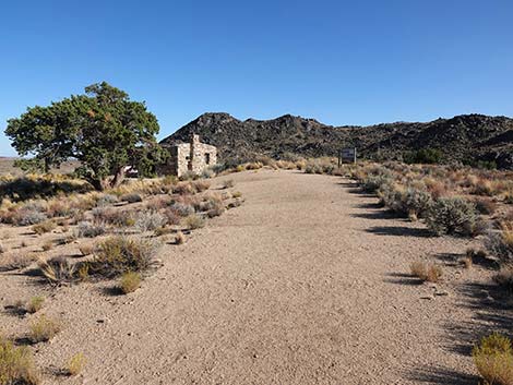
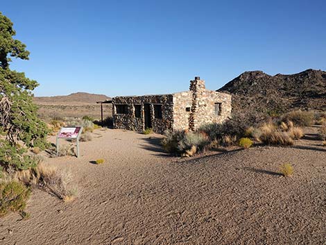
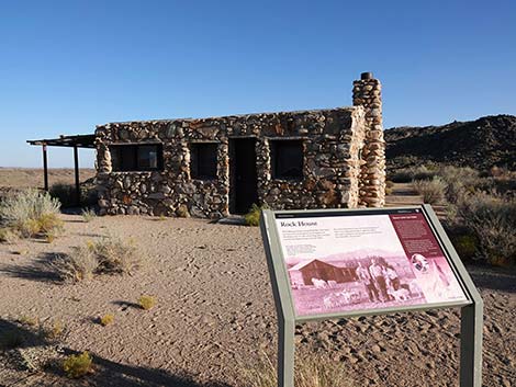
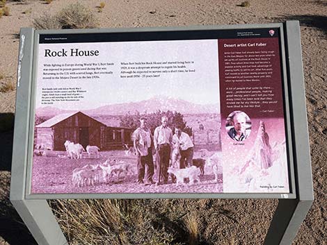
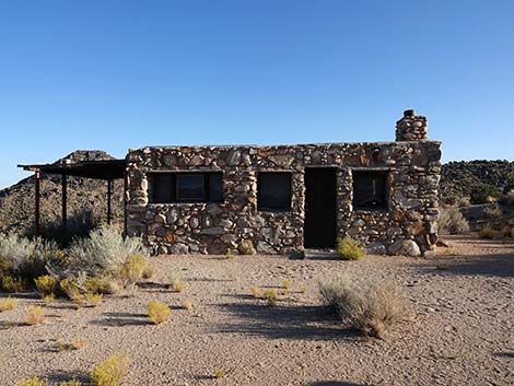
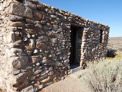
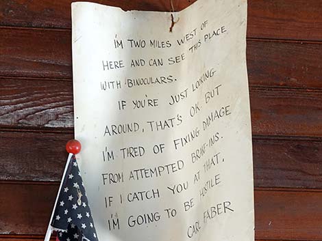
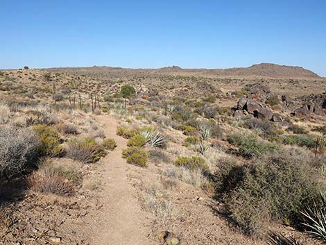
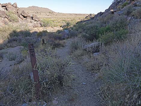
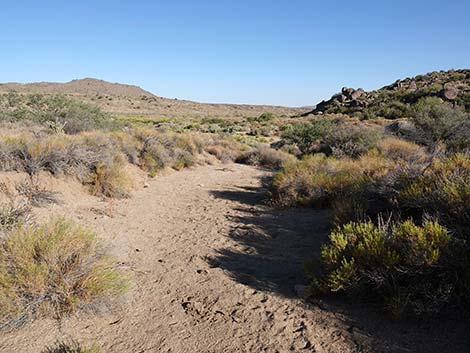
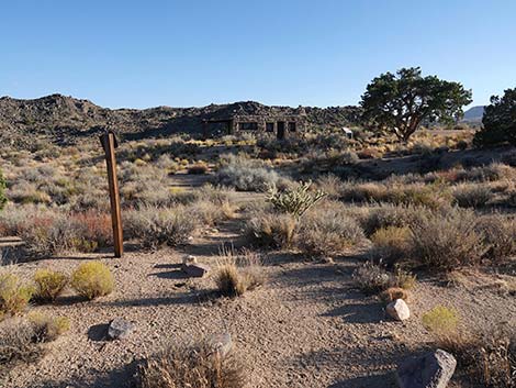
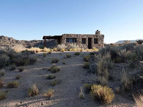
The Hike From the parking area, the trail runs through a gate (Table 2; Waypoint 01) and continues up the road towards the Rock House. Near the gate, an old goat corral sits on the left, and a bit farther along, juniper trees shade a picnic table. At the rock house (Wpt. 02), an information sign provides historic details about the site. Bert Smith built this house in 1929 to take advantage of healthy western air during his recovery from gas attacks during WWI. The house was later used by landscape artist Carl Faber. Signs on the west side of the Rock House announce the start of the loop trail, which runs south past the signs. The trail heads south as if to drop into the wash, but at about 150 yards out, the trail takes a hard turn to the left and angles down across the hillside, staying high above the wash. |
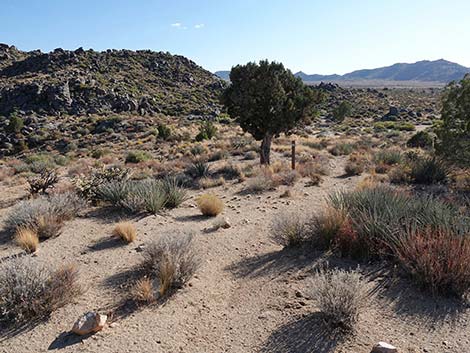
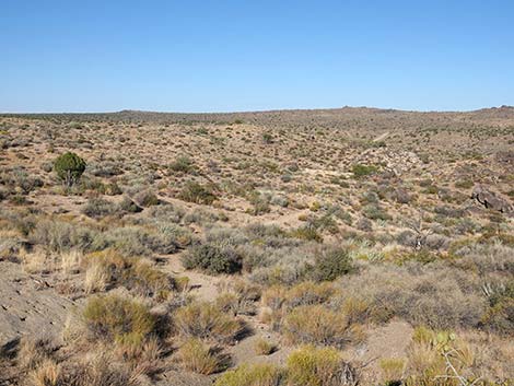
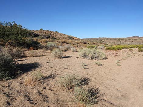
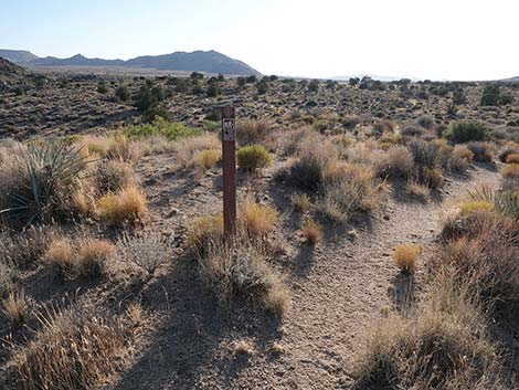
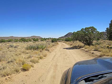 Start of Rock Spring Road (view SE) |
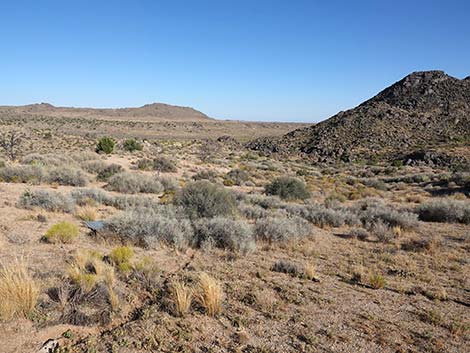
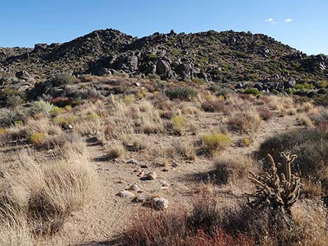
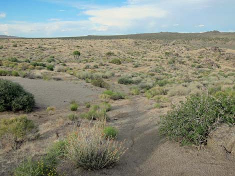
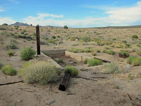
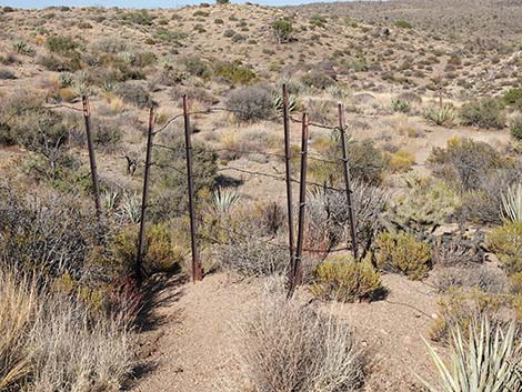
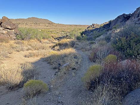
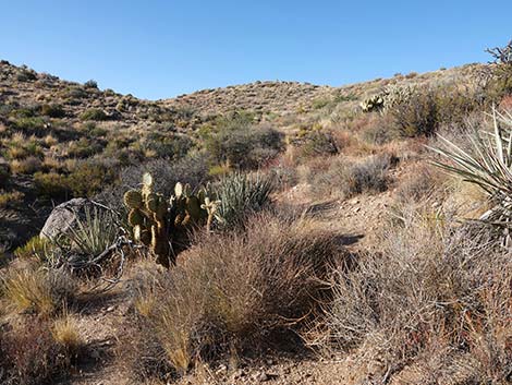
This is high country, near to 4,800 ft elevation, and the plant species here are typical for this elevation in the Mojave Desert: including juniper trees, banana yucca, big sagebrush, buckhorn cholla, Mojave sage, cliffrose, big galleta grass, also some kind of needlegrass. The trail passes an old mill site that dates from the 1930s. Mr. Smith and his partners extracted copper ore from a nearby mine (down in the wash) and milled it at this site. Apparently the mining operation was not profitable, and all that remains are the cement foundations and a few pieces of junk. They probably sold the mill, and what was worthless remains on the ground. Past the mill site, the trail runs generally northeast, through a gate (Wpt. 03) in a barbed-wire fence, and turns southeast through an area that burned some years ago. The shrubs are growing back, but the trees have a long way to go. |
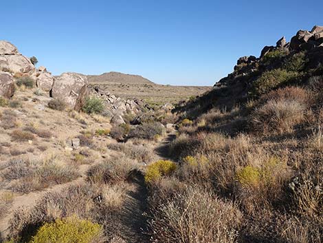
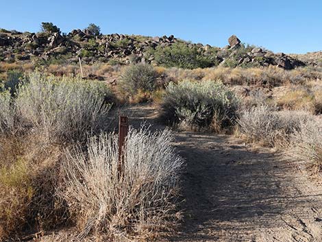
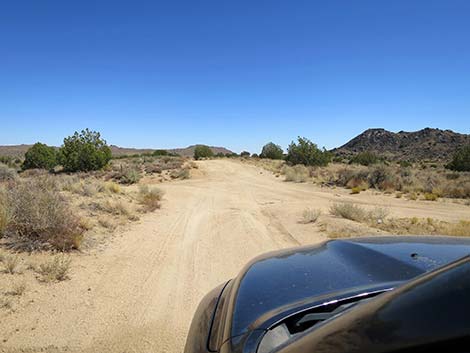 Rock Spring Road crossing Mojave Road (view SE) |
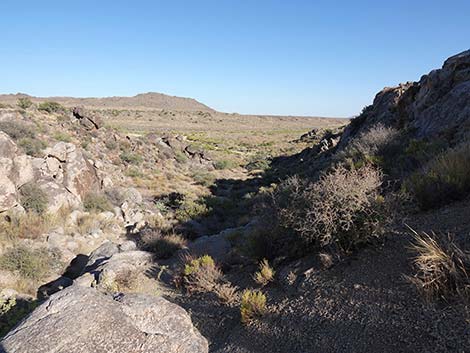
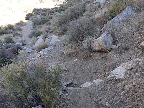
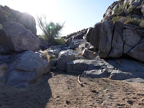
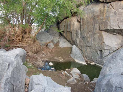
The trail turns to runs southeast down a narrow, rocky canyon. Stairs along the trail facilitate passage through the canyon, but a few of the steps at the bottom of the canyon are unusually high and may not be suitable for all hikers. As the trail exits the canyon, check the granite walls carefully for faint etching of the ancients. Just beyond the mouth of the canyon, the trail forks (Wpt. 04). Watch for an information sign off the trail to the right. The sign overlooks Rock Spring, an important water source for travelers in this region since ancient times. This was a stop along the historic Mojave Road. The spring (Wpt. 05) lies about 150 yards southwest of the sign where polished granite forces water to the surface. Watch for birds and other wildlife, and listen for the trills of male Red-spotted Toads during springtime. A lone cottonwood tree grows in the canyon above the spring. Continuing east (left) at the fork (Wpt. 04) on the main trail, the trail shortly arrives at another information sign about Camp Rock Spring, an army outpost active during the 1860s. Soldiers based here protected the US mail and travelers using the Mojave Road. |
 Mojave Road (view NE back towards Cedar Canyon Road) |
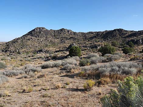
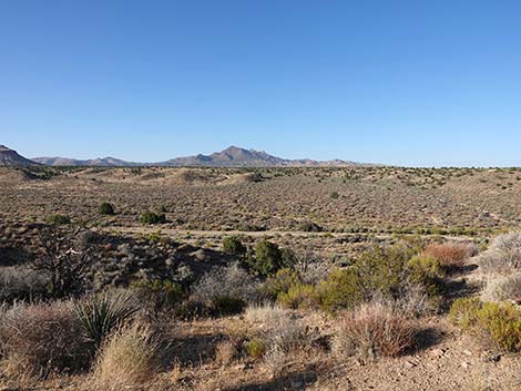
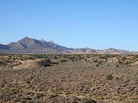
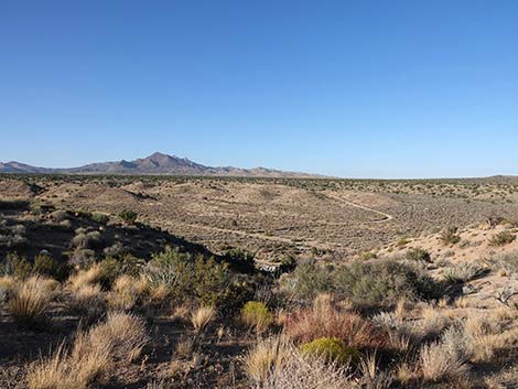
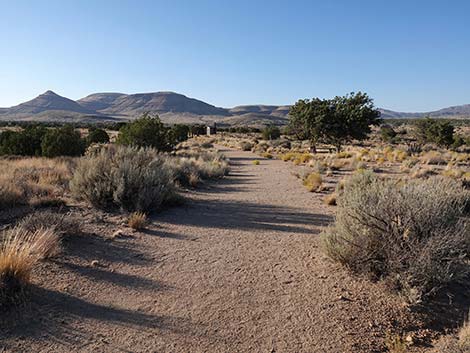
A short way farther along the trail, a bronze plaque set in a boulder commemorates the site (Wpt. 06). On the far side of the boulder, the trail forks. The main trail turns left and heads up the hill, while a spur trail (straight) runs about 50 yards to overlook Watson Wash and the Mojave Road. The main trail runs up a shallow side canyon that remains well vegetated after the fire, then switchbacks onto the ridge on the right. The trail runs up the ridgeline (Wpt. 07), providing grand views over the landscape: the broad Watson Wash below, the New York Mountains to the north, and the Hackberry Mountains to the south. Leaving the ridgeline, the trail runs generally northwest across rolling country where shrubs are growing back after the fire. Eventually the trail turns southwest (Wpt. 08) and starts back towards the Rock House. Fortunately, a few juniper trees survived the fire and provide shade along the way. The trail returns to the Rock House (Wpt. 02) and then back down the driveway to the trailhead (Wpt. 01). |
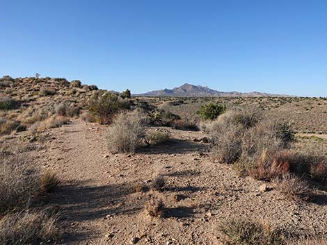
 Mojave Road (view SW away from Cedar Canyon Road) |
 Rock Spring Road crossing Mojave Road (view SE) |
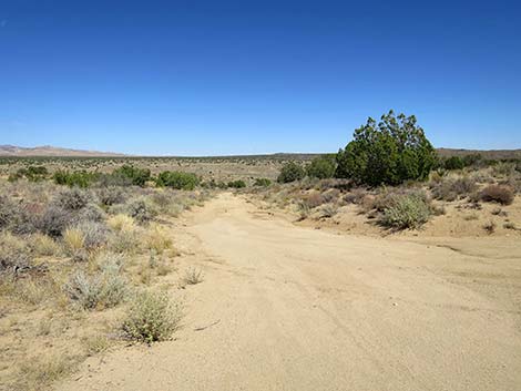
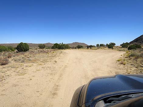 Rock Spring Road entering Rock Spring parking area (view SE) |
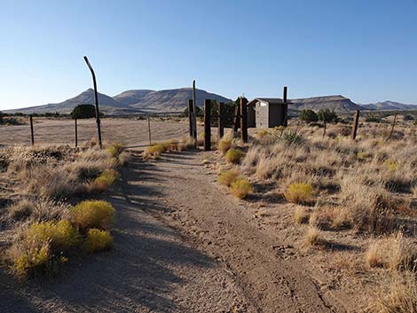
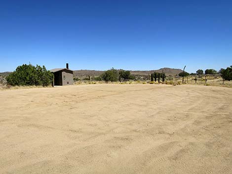 Trailhead parking, toilets, and gate (view SE) |
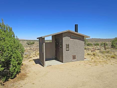 Rock Spring outhouse (view E) |
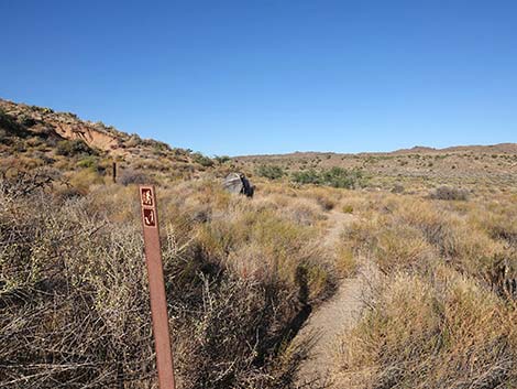
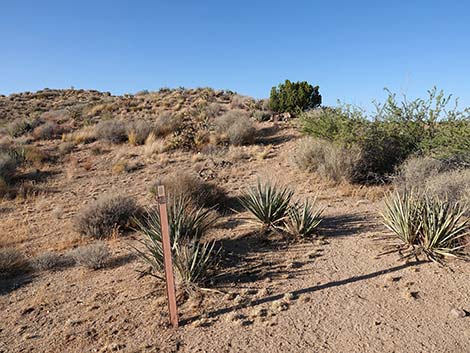
 Rock Spring Trailhead (view SE) |
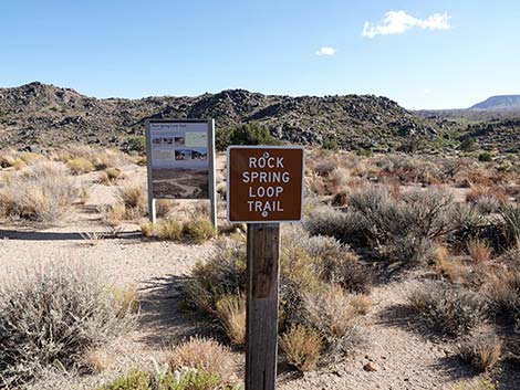
Rock Spring Loop Trail
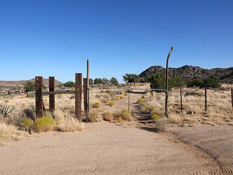 Rock Spring Trailhead (view SSE) |
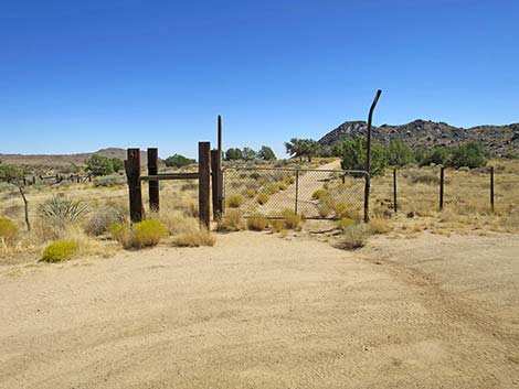
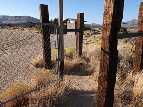
 Hikers (but not cows) can pass through the gate (view SSE) |
 Old road leads towards Rock Spring Cabin (view SSE) |
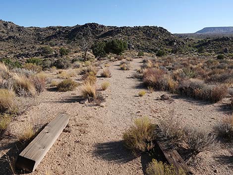
 Old road passes a shaded picnic table (view SSE) |
 Picnic table (view E) |
 Approaching the Rock House (view SE) |
 Rock Spring Trail on the right, Rock House to the left (view SE) |
 Approaching the Rock House (view SE) |
 Information sign at the Rock House (view SE) |
 Information about the Rock House |
 North wall of the Rock House (view S) |
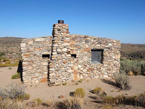 West wall of the Rock House (view E) |
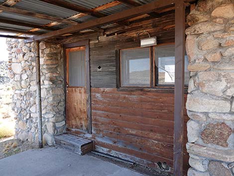 East wall of the Rock House back porch (view SW) |
 Grand view from the Rock House back porch (view E) |
 Grand view from the Rock House back porch (view SE) |
 South wall and back door to the Rock House (door was vandalized) |
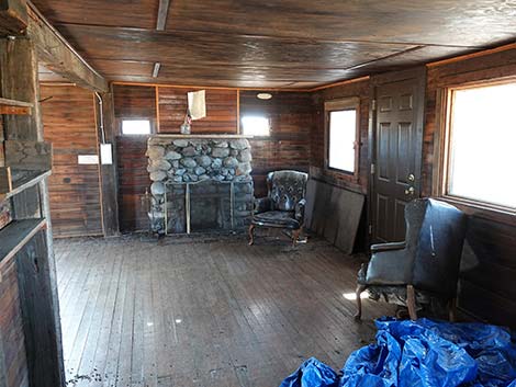 Rock House interior (view W; don't break in if door is closed) |
 Rock House interior (view W; don't break in if door is closed) |
 Rock House interior (view W; don't break in if door is closed) |
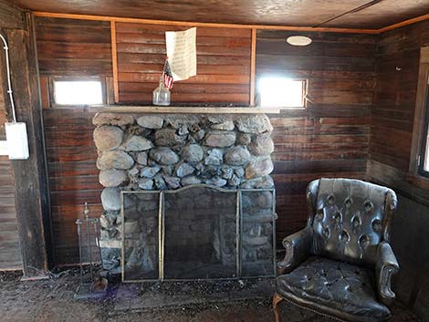
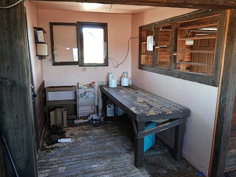 Rock House interior (view S; don't break in if door is closed) |
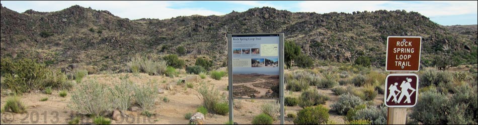
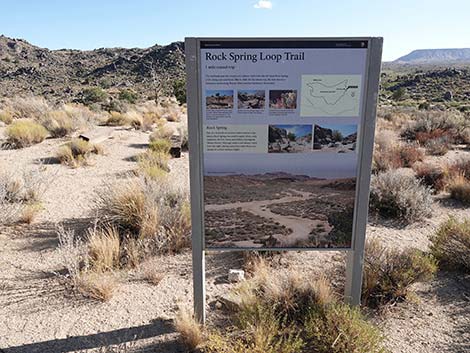
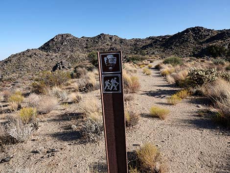
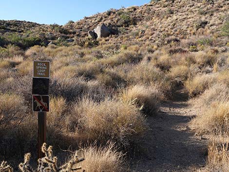
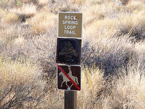
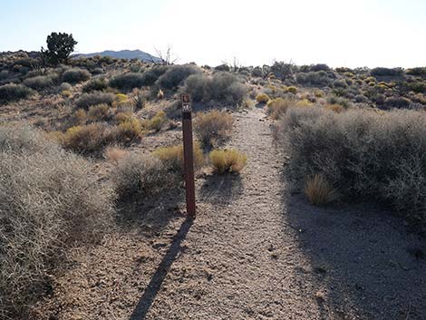
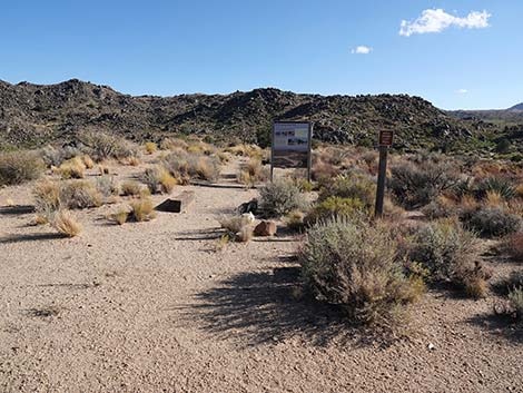 Signs: Rock Spring Loop Trail (view S) |
 Signs: Rock Spring Loop Trail (view S) |
 Information sign: Rock Spring Loop Trail (view S) |
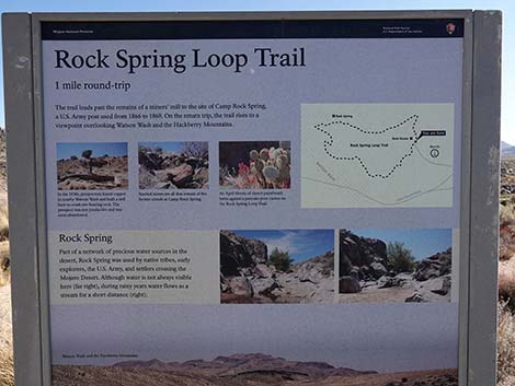 Information sign includes a map (view S) |
 Starting on Rock Spring Loop Trail (view S) |
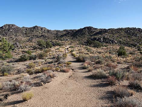 At first, it is easy to follow the trail, but watch for trail signs (view S) |
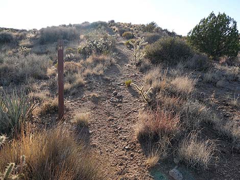
 Carsonite trail sign: Rock Spring Loop Trail (view S) |
 Watch for trail signs (view SW) |
 Trail turns left, but there is no sign here (view S; note stones) |
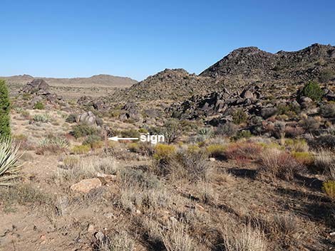 Trail turns left; a sign is visible in the near distance (view NE) |
 Parts of the trail are easier to follow (view NE) |
 Follow the signs, not the use-trails (view NE) |
 Trail follows carsonite trail sign over the low ridgeline (view NE) |
 Faint trail runs down the hillside following signs (view NE) |
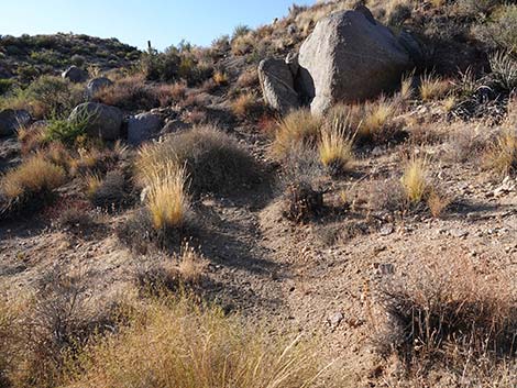
 Mill tailings left of the trail (view NE) |
 Water catch-basin for the mill (view N) |
 Trail approaching barbed-wire fence (view NE) |
 Trail passes through barbed-wire fence |
 Trail continues past fence (view E) |
 Trail descends towards rocky canyon (view SE) |
 Trail descends towards rocky canyon (view SE) |
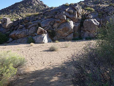
 Trail enters rocky canyon (view SE) |
 Trail descends rocky canyon (view SE) |
 Trail descends rather steeply into rocky canyon (view SE) |
 Trail near the bottom of the rocky canyon (view SE) |
 Trail on easy terrain in the rocky canyon (view SE) |
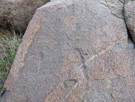 Inspect the rock walls carefully! |
 Ancient etching |
 Trail exiting the rocky canyon (view SE) |
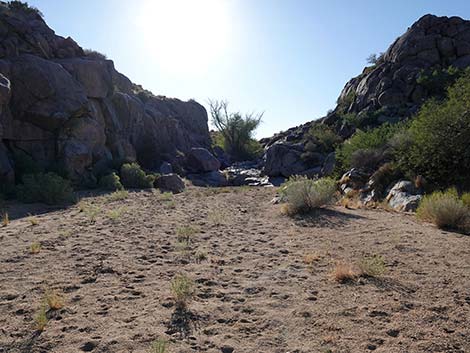
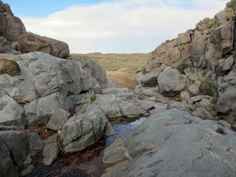
 Trail descends sandy wash (view SE) |
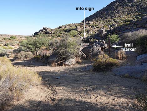 Sandy wash curves left; sign straight ahead (view S) |
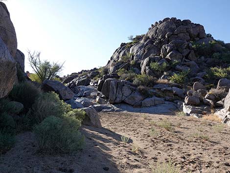
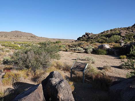 Information sign overlooking Rock Spring Wash (view SE) |
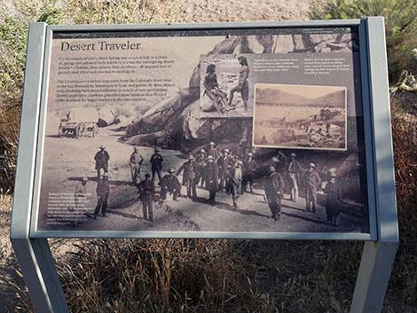 Information sign about historic activities at Rock Spring (view S) |
 Trail drops straight into Rock Spring Wash (view S) |
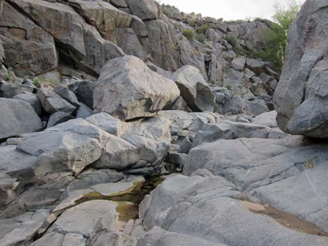
 Turning up Rock Spring Wash during late afternoon (view W) |
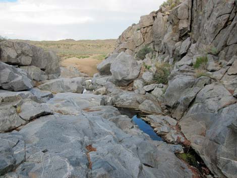
 Heading up Rock Spring Wash (view W) |
 Rock Spring Wash (view W) |
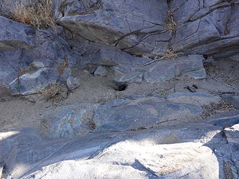
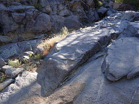 Water-polished granite in Rock Spring Wash (view W) |
 When dry, animals dig holes in the sand to find water |
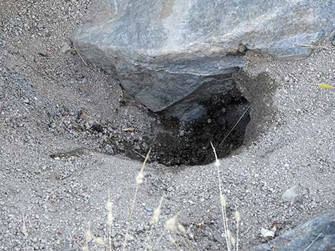 Hard to see, but the damp hole is full of Honey Bees |
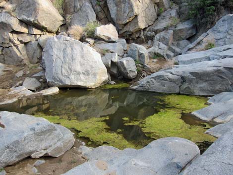 Rock Spring with water |
 Rock Spring with water |
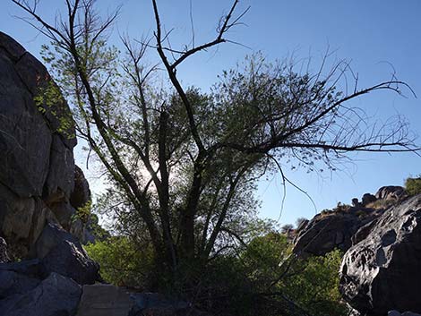 Goodding's Willow tree growing in the rocks (view W) |
 Rock Spring above cottonwood tree (view E) |
 Rock Spring with water (view E) |
 Rock Spring with water (view E) |
 Returning down Rock Spring Wash (view E) |
 Descending the wash past Desert Travelers info sign (view N) |
 Past Desert Travelers info sign, trail turns up sandy wash (view NE) |
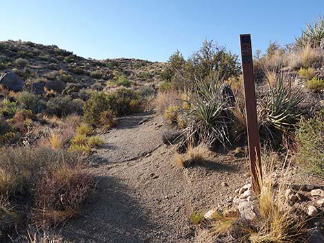
 As before, watch for carsonite trail markers (view N) |
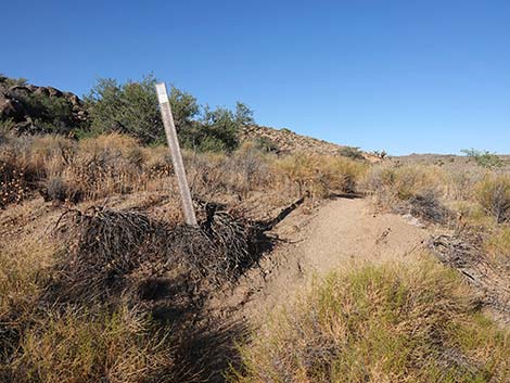 Carsonite trail marker where trail exits the sandy wash (view NE) |
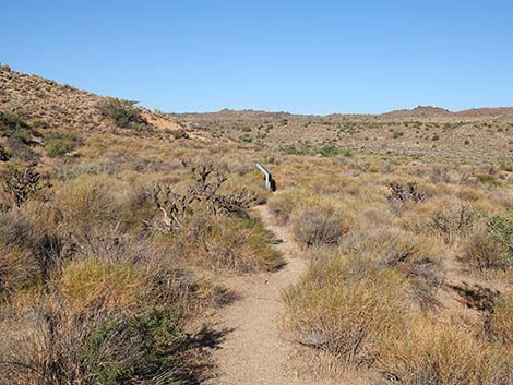 Above the wash, the trail becomes obvious (view E) |
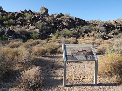 Information sign: Camp Rock Spring (view N) |
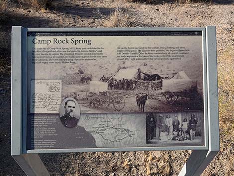 Information sign: Camp Rock Spring military outpost (view N) |
 Trail continues through Camp Rock Spring site (view E) |
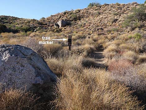
 Watch for carsonite trail markers (view E) |
 Carsonite trail marker (view E) |
 Approaching boulder with a bronze plaque (view NE) |
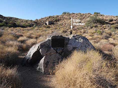 Boulder with bronze plaque (view N) |
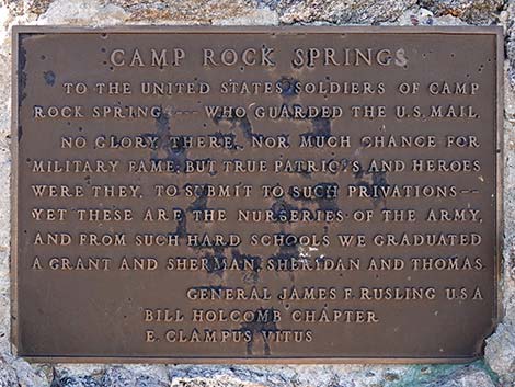 Commemorative bronze plaque: Camp Rock Spring |
Camp Rock Spring To the United States Soldiers of Camp |
 Trail turns left at the boulder (view N) |
 Trail passes sign and starts up hillside (view N) |
 Trail sign (view N) |
 Trail on hillside is faint, but watch for trail markers (view NW) |
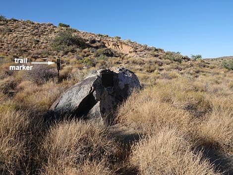
 Trail marker (view NW) |
 Trail is overgrown, but watch carefully for markers (view N) |
 Trail is overgrown, but watch carefully for markers (view N) |
 Watch carefully: trail switchbacks to the right without sign (view SE) |
 Trail marker at switchback atop ridgeline (view SE) |
 Trail turn up following the ridgeline (view N) |
 Trail follows up the crest of the ridgeline (view N) |
 Ridgeline (view SE along the Mojave Road) |
 Ridgeline (view NE along the Mojave Road) |
 Trail continues up the crest of the ridgeline (view N) ... |
 ... until contouring off across the hillside (view NW) |
 Trail contours into a low saddle (view N) |
 Ridgeline (view N to New York Mountains) |
 Ridgeline (view N to New York Mountains; zoom) |
 Trail climbs past the saddle following the ridgeline again (view W) |
 Trail levels out traversing rolling terrain (view W) |
 As usual, keep an eye out for trail markers (view SW) |
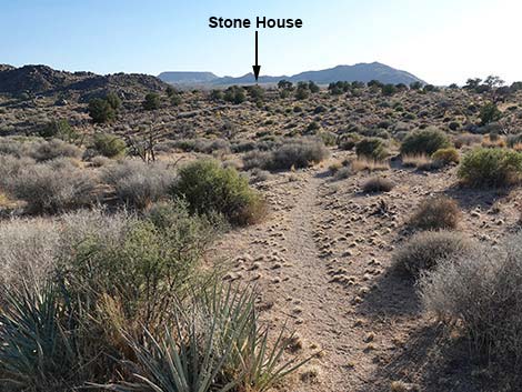
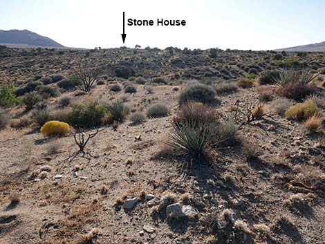 To the left, the Stone House comes back into view (view SW) |
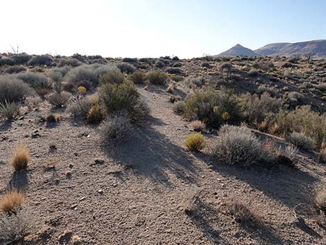
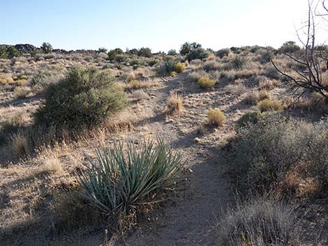
 Trail continues across rolling terrain (view NW) |
 Trail continues across rolling terrain (view NW) |
 Trail continues across rolling terrain (view NW) |
 As usual, keep an eye out for trail markers (view W) |
 More grand views (view N towards New York Mountains) |
 Trail turns left across rolling terrain heading towards Stone House |
 Trail continues across rolling terrain (view SW) |
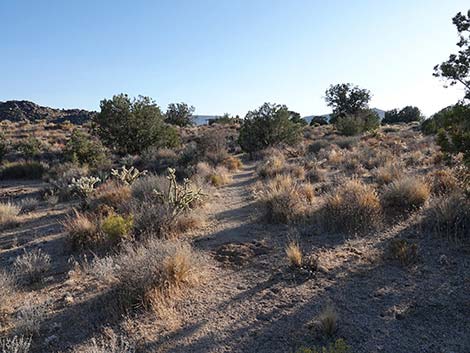 Trail continues across rolling terrain (view SW) |
 As usual, keep an eye out for trail markers (view SW) |
 One last sign before the Stone House (view S) |
 Returning to the Stone House (view S) |
 Passing the Stone House and returning on the old road (view NW) |
 Returning past the shady picnic table (view NW) |
 Approaching the trailhead gate (view NW) |
 Trail passes through the trailhead gate (view NW) |
Table 1. Highway Coordinates Based on GPS Data (NAD27; UTM Zone 11S). Download Highway GPS Waypoints (*.gpx) file.
| Site | Location | UTM Easting | UTM Northing | Latitude (N) | Longitude (W) | Elevation (ft) | Verified |
|---|---|---|---|---|---|---|---|
| 0833 | Cedar Cyn Rd at Black Cyn Rd | 644718 | 3893322 | 35.17422 | 115.41081 | 5,007 | Yes |
| 1448 | Cedar Cyn Rd at Rock Spring Rd | 651435 | 3891403 | 35.15594 | 115.33743 | 4,880 | Yes |
| 1449 | Rock Spring Trailhead Parking | 651737 | 3891314 | 35.15509 | 115.33413 | 4,869 | Yes |
Table 2. Hiking Coordinates Based on GPS Data (NAD27; UTM Zone 11S). Download Hiking GPS Waypoints (*.gpx) file.
| Wpt. | Location | UTM Easting | UTM Northing | Elevation (ft) | Point-to-Point Distance (mi) | Cumulative Distance (mi) | Verified |
|---|---|---|---|---|---|---|---|
| 01 | Trailhead | 651755 | 3891315 | 4,869 | 0.00 | 0.00 | GPS |
| 02 | Rock House | 651823 | 3891218 | 4,877 | 0.08 | 0.08 | GPS |
| 03 | Gate | 651945 | 3891134 | 4,829 | 0.19 | 0.27 | GPS |
| 04 | Spur to Spring | 652236 | 3891097 | 4,749 | 0.20 | 0.47 | GPS |
| 05 | Rock Spring | 652150 | 3891065 | 4,757 | . | . | GPS |
| 06 | Monument | 652327 | 3891126 | 4,755 | 0.07 | 0.54 | GPS |
| 07 | Ridgeline | 652311 | 3891239 | 4,830 | 0.13 | 0.67 | GPS |
| 08 | North-most Point | 651995 | 3891399 | 4,875 | 0.25 | 0.92 | GPS |
| 02 | Rock House | 651823 | 3891218 | 4,877 | 0.18 | 1.10 | GPS |
| 01 | Trailhead | 651755 | 3891315 | 4,869 | 0.07 | 1.17 | GPS |
Happy Hiking! All distances, elevations, and other facts are approximate.
![]() ; Last updated 240329
; Last updated 240329
| Hiking Around Mojave Preserve | Hiking Around Las Vegas | Glossary | Copyright, Conditions, Disclaimer | Home |