
Hiking Around Las Vegas, Sloan Canyon NCA

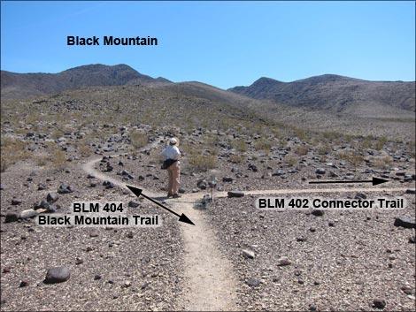 BLM 404 (Black Mountain) and BLM 402 (Connector) trail junction |
Overview The Connector Trail (BLM 402) is a 0.57-mile trail in Sloan Canyon National Conservation Area that connects the Black Mountain Trail (BLM 404) to the Park Peak Loop Trail (BLM 403). As such, the Connector Trail does not alone make a hike, as it neither connects to a trailhead nor reaches a destination. The Connector Trail is most useful as part of a 5-mile loop that makes use of four trails (Anthem East Trail, Black Mountain Trail, Connector Trail, and Park Peak Loop Trail) to climb onto Fracture Ridge or the summit of Park Peak. Link to map. |
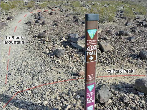 BLM 402 trail sign; BLM 404 Trail in the background (view E) |
Watch Out Other than the standard warnings about hiking in the desert, ...this hike is fairly safe with no unusual hazards. While hiking, please respect the land and the other people out there, and try to Leave No Trace of your passage. Also, even though this hike is short, be sure to bring what you need of the 10 Essentials. Getting to the Trailhead This hike is located in Sloan Canyon NCA, but technically there is no trailhead as this is only a connector trail. The nearest trailhead is in the nearby urban neighborhoods (Anthem area of Henderson) as described for the Shadow Canyon Trailhead. |
 BLM 404 Trail sign; BLM 402 Trail in the background (view S) |
The Hike At a trail junction (Table 1, Waypoint 07) about 1.36 miles out the Black Mountain Trail (BLM 404), the Connector Trail (BLM 402 Trail) turns right and runs southwest while the Black Mountain Trail continues east. Following the Connector Trail southwest, the trail descends directly off the side of the ridge, then turns left to run southeast and down across the slope at a moderate grade into the wash below. After crossing the wash, the trail sets off across a broad, open valley. The well defined-trail winds among boulders, washes, and Eastern Joshua Trees as it runs south to a trail junction (Wpt. 08). Here, the Connector Trail ends at the Park Peak Loop Trail (BLM 403), which comes in from the right and continues straight ahead. From here, hikers can continue straight on the Park Peak Loop Trail to climb onto Fracture Ridge or Park Peak, or turn right on the Park Peak Loop Trail to hike off in other directions or to return to the trailhead via a different route. |
 Hiker starting on the BLM 402 Connector Trail (view S) |
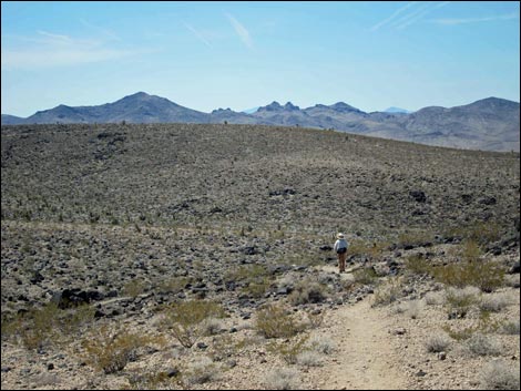 BLM 402 (Connector) trail descends off ridge |
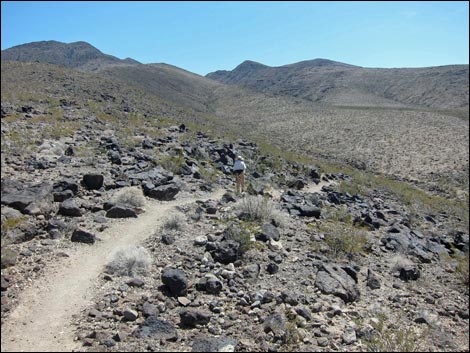 Trail descends across the side of the ridge |
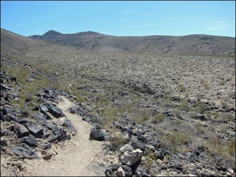 Trail descends into the wash below |
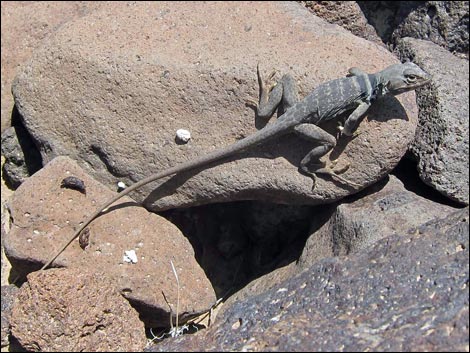 Keep an eye out for the locals (Collared Lizard) |
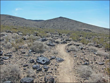 BLM 402 (Connector) trail crosses broad valley (view south) |
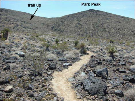 BLM 402 (Connector) trail winding among boulders (view south) |
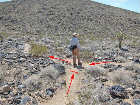 BLM 402 Connector Trail ends at BLM 403 Park Peak Loop Trail |
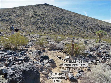 BLM 402 Trail ends at BLM 403 trail junction (view S) |
 BLM 403 Park Peak Trail sign (view S) |
Hiking the BLM 402 Trail in the other direction (from south to north)
 BLM 403 at BLM 403 trail junction (view E) |
 Hikers crossing the broad, open valley (view N) |
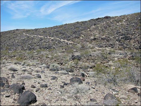 Approaching the side of the West Ridge of North Peak (view N) |
 Hikers climbing onto the West Ridge of North Peak (view NW) |
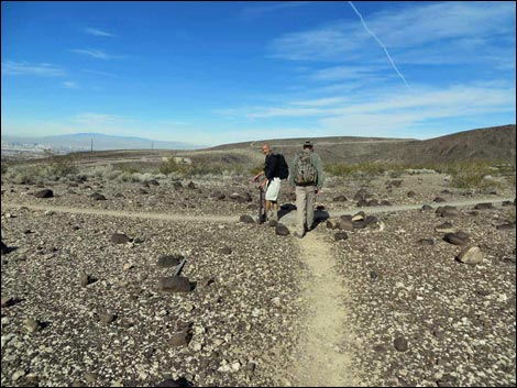 Hikers at the end of BLM 402 Trail; junction with BLM 404 Trail |
 More to come ... |
Table 1. Hiking Coordinates and Distances based on GPS Data (NAD27; UTM Zone 11S). Download Hiking GPS Waypoints (*.gpx) file.
| Wpt. | Location | UTM Easting | UTM Northing | Elevation (ft) | Point-to-Point Distance (mi) | Cumulative Distance (mi) | Verified |
|---|---|---|---|---|---|---|---|
| 07 | Trail Junction | 674316 | 3978158 | 3,398 | 0.00 | 0.00 | GPS |
| 08 | Trail Junction | 674396 | 3977485 | 3,419 | 0.58 | 0.58 | GPS |
Happy Hiking! All distances, elevations, and other facts are approximate.
![]() ; Last updated 240330
; Last updated 240330
| Hiking Around Sloan Canyon | Hiking Around Las Vegas | Glossary | Copyright, Conditions, Disclaimer | Home |