(Forest Roads FR-800C, FR-800, and FR-800E)
Backroads Around Las Vegas, Red Rock Canyon NCA
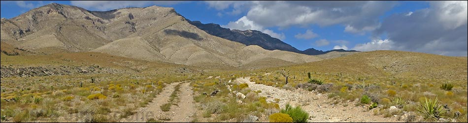
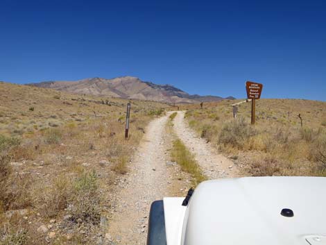
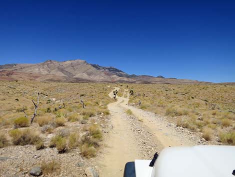
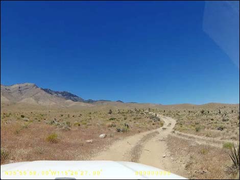
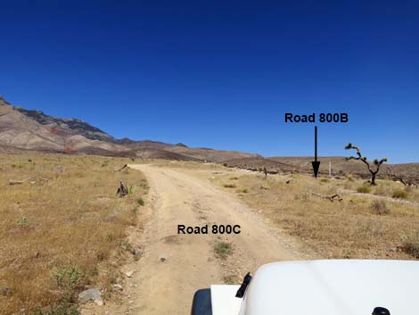
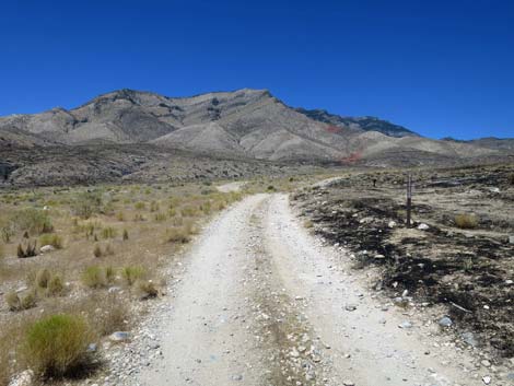
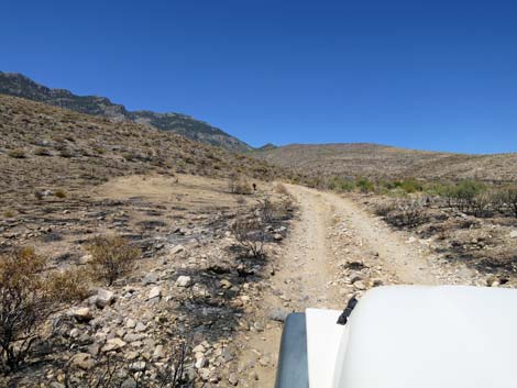
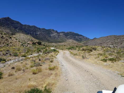
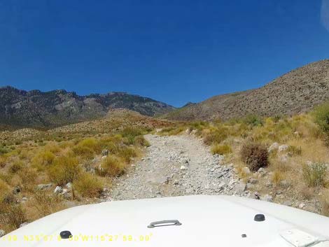
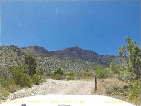
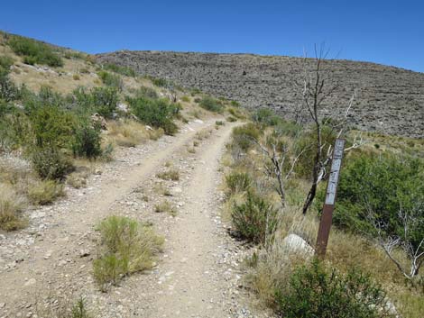
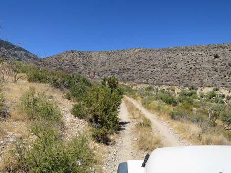
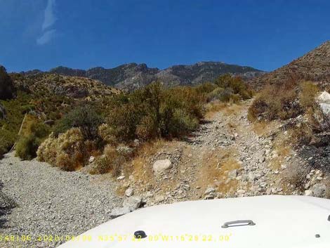
 Cottonwood Valley Road at Road FR-800C (view SW) Cottonwood Valley Road at Road FR-800C (view SW) |
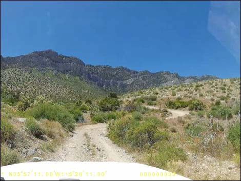
Overview Ninetynine Mine Road is a side-road off Cottonwood Valley Road that runs 2.8 miles to Ninetynine Mine, and then a bit farther before ending. The road is rough, rocky, and requires lifted 4WD vehicles in a couple of sections depending on current washouts. Two of the Ninetynine Mine area roads (FR-800B and FR-800A) are so badly washed out that they have, more or less, been abandoned. It is now best to drive farther south on Cottonwood Valley Road and use Road FR-800C to access the Ninetynine Mine area. Due to neglect by land management agencies, much of these roads have become so bad as to be undrivable, and as a result, drivers have created several miles of parallel roadway by just driving in the bushes. Ninetynine Mine Road provides access to hiking, biking, hunting, and camping opportunities along the east side of Mt. Potosi, and it provides access to the trailhead for the tough hike to the Carol Lombard Crash Site high in the cliffs on the side of Mt. Potosi. Link to map. |
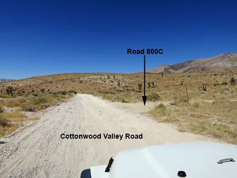
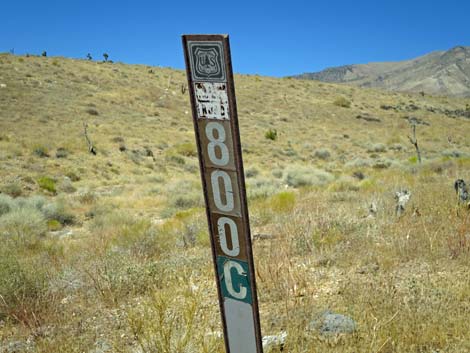
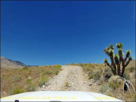
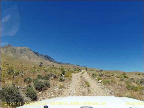
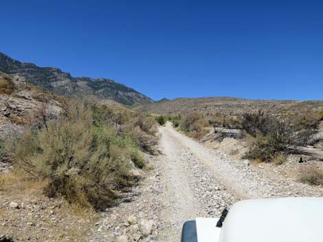
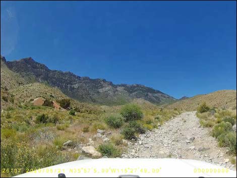
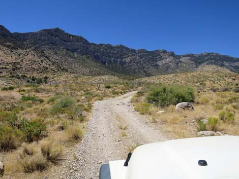
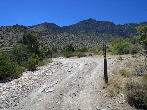
 FR-800C (view NW from Cottonwood Valley Road) |
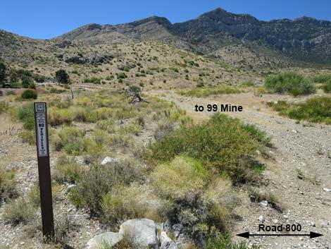
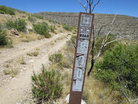
Watch Out Other than the standard warnings about driving in the desert, ...this road is getting to be a pretty rough and requires a 4WD vehicle. Cell phones work in some areas. This is a major mountain biking area, so keep an eye out for inattentive bikers careening down the road. While out, please respect the land and the other people out there, and try to Leave No Trace of your passage. Also, be sure to bring what you need of the 10 Essentials. Getting to the Roadhead From Las Vegas, drive west on Highway 160 (Pahrump Highway) to the Cottonwood Valley Trailhead, then drive south on Cottonwood Valley Road for 5.6 miles to Ninetynine Mine Road; FR-800C (Table 1, Site 1931) on the right. Note that Cottonwood Valley Road and Ninetynine Mine Road require a 4WD vehicle. |
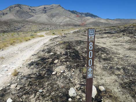
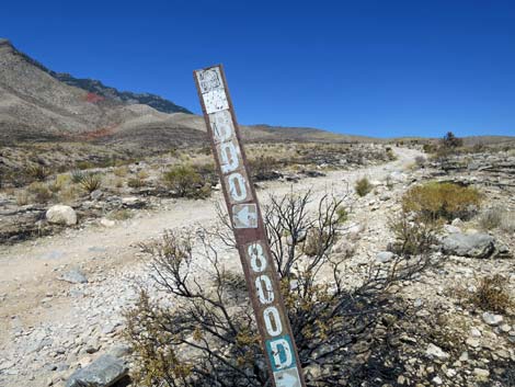
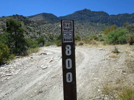
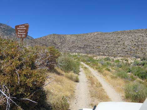
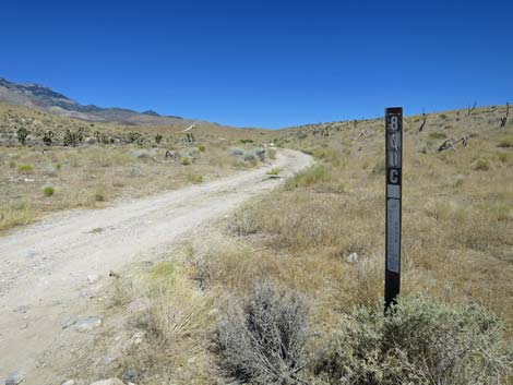 FR-800C road sign (view NW from Cottonwood Valley Road) |
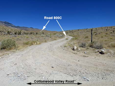
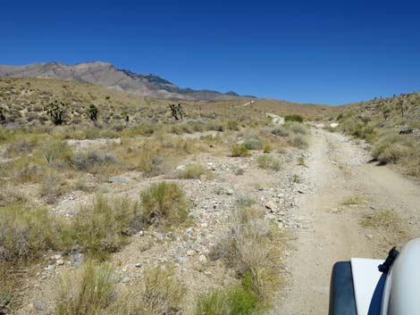
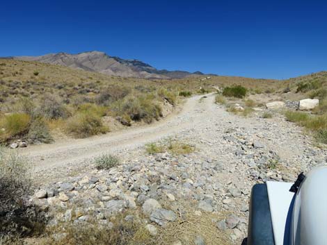
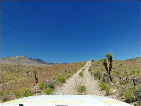
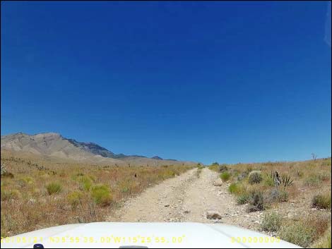
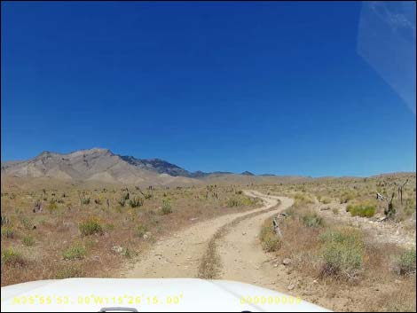
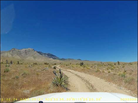
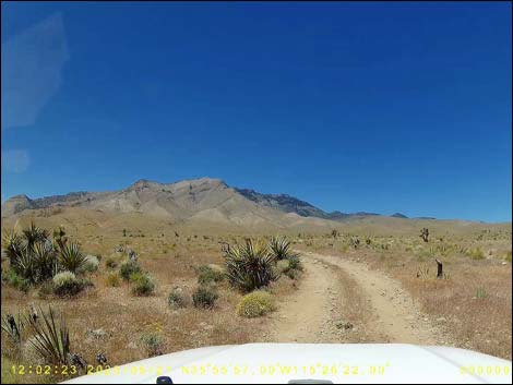
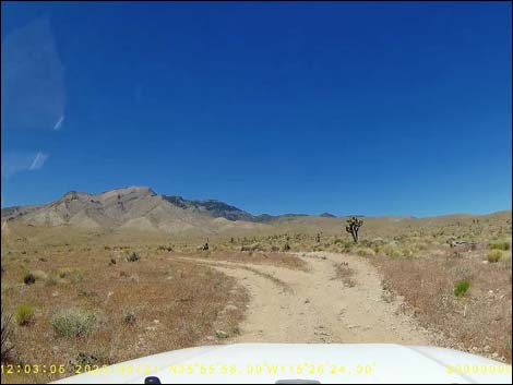
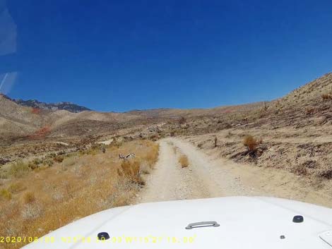
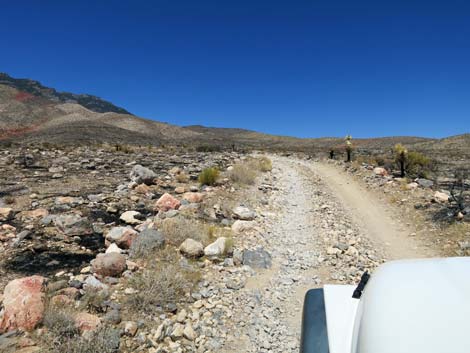
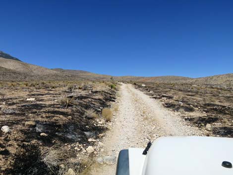
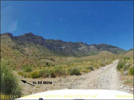
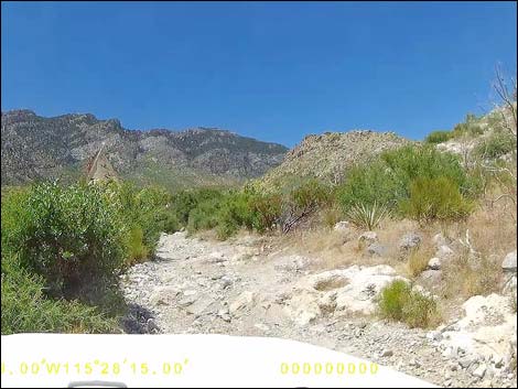
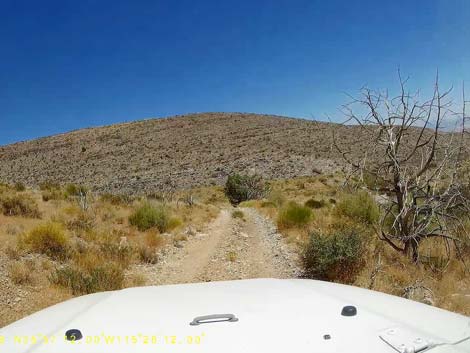
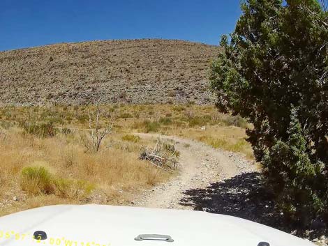
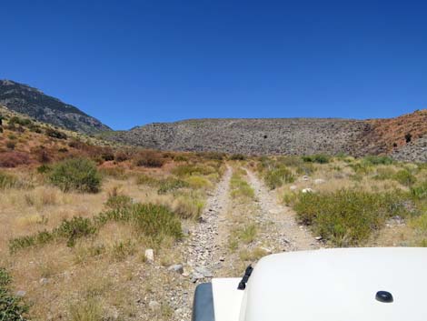
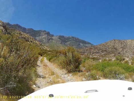
The Road From Cottonwood Valley Road, Ninetynine Mine Road (FR-800C; Site 1931) runs northwest. FR-800C quickly runs up across a wash and merges with a road on the left. As is typical, the roads here form a large triangular intersection. When driving on Cottonwood Valley Road, the south corner of the triangle is washed and not obvious, but here it looks like the better road. Continuing on the merged FR-800C, the road crosses a buried gas pipeline, which is marked with caution signs. Continuing on FR-800C, the road climbs the hillside and crosses broad, open flats with Mt. Potosi looming in the background. This area burned in the Goodsprings Fire in June 2005. Plants are growing back, but this area will never be the same. At about 1.1 miles out (Site 1125), Ninetynine Mine Road (FR-800C) almost merges with the abandoned FR-800B, which comes in from the right. FR-800C continues straight as it runs across gentle terrain on new road created by drivers because the original road is so badly washed out. |
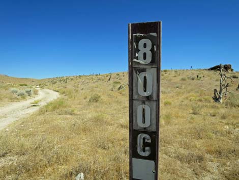 FR-800C road sign (view NW) |
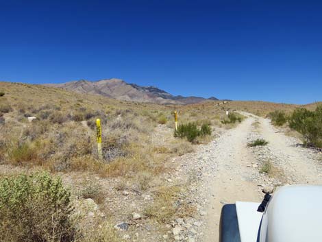
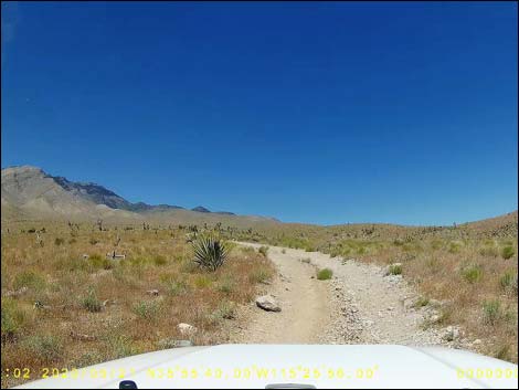
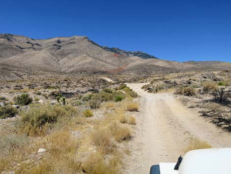
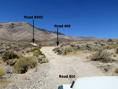
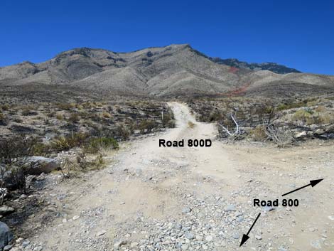
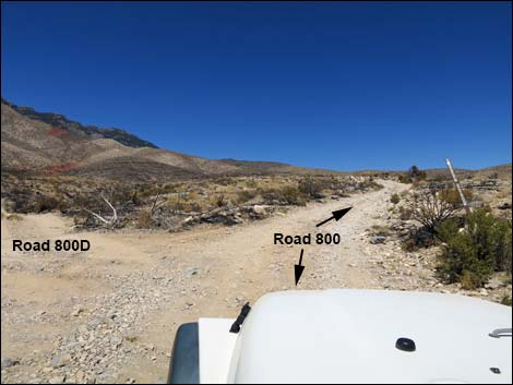
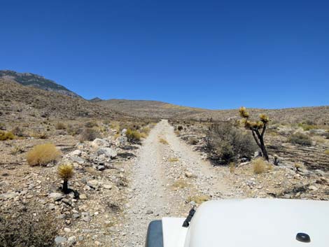
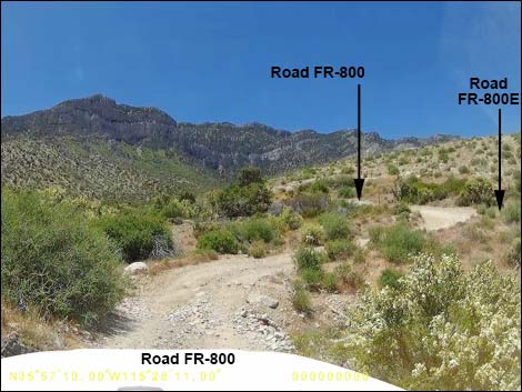
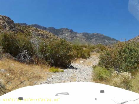
At about 1.7 miles out, Ninetynine Mine Road (FR-800C) merges with FR-800 (Site 1126), which is barely noticeable on the left. Road FR-800 is an official, designated road, but it seems unused to the left. Ninetynine Mine Road continues straight across gentle terrain, now designated as Road FR-800. At about 1.8 miles out, the newly created road drops back into the original track of Road FR-800, and road conditions quickly become more rocky. At about 1.9 miles out, Road FR-800 crosses a deep wash that often is deeply washed out. Depending on conditions, it can require a short wheel base, 4WD vehicle to cross the wash. |
 FR-800C runs up across a wash (view NW) |
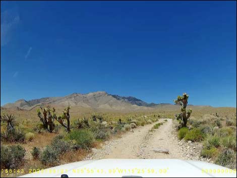
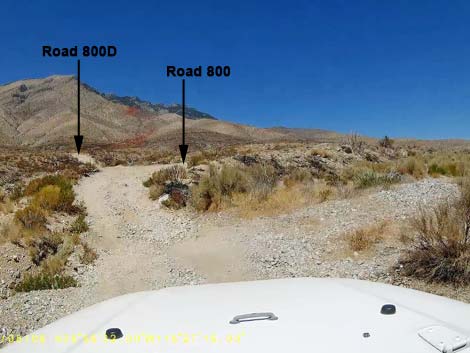
Just across the wash, Dawn Mine Road (FR-800D) forks to the left (Site 1127) as Ninetynine Mine Road bends right. From the intersection, the mine tailings can be seen about 1/2-mile to the northwest. Dawn Mine Road is barricaded halfway to the mine, but hikers can continue on foot. Mines are never safe to enter, and this one seems to have bad air, possibly the lingering stench of a hiker never recovered from the mine. From the Dawn Mine Road (FR-800D) intersection (Site 1127), Ninetynine Mine Road (FR-800) bends hard to the right and continues across gentle, but rocky terrain heading northwest staying on higher terrain. At about 2.5 miles out, the road runs up along the base of a rocky hillside, and then at about 2.6 miles out, the road drops into a broad wash where the rocky ground remains firm. |
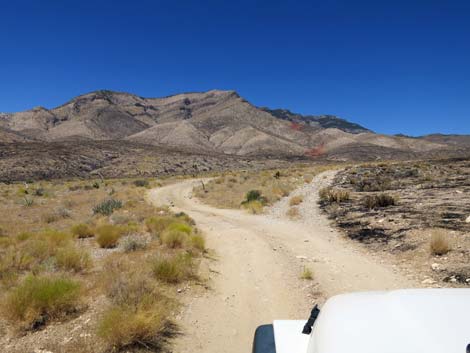
 Merging of the triangle-intersection (view NW) |
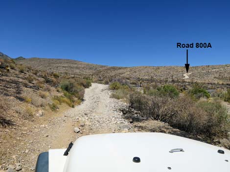
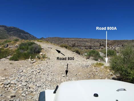
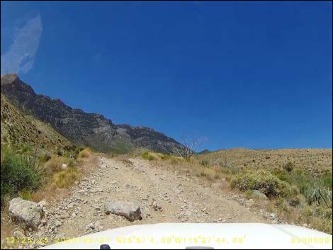
Running up the wash, Ninetynine Mine Road (FR-800) quickly (0.1 miles) arrives at another fork in the road (Site 1128). Here, Road FR-800A runs northeast and connects with Cottonwood Valley Road atop Cottonwood Pass. The road is very washed out and more-or-less has been abandoned. Also, Road FR-800A is visible from back down Ninetynine Mine Road, but because of the bushes in the wash and the road conditions, it is easy to miss at the intersection. Road FR-800A is a fine road up onto the ridge (skyline), but degrades considerably going down the other side and should not be used as a "short cut" to Cottonwood Pass except by drivers on ATVs. From the intersection (Site 1128), Ninetynine Mine Road climbs a steep bank to get out of the wash where drivers in 2WD-HC vehicles spin their tires and tear divots into the road, which is now nearly impassable in stock jeeps (i.e., likely undercarriage damage). |
 Caution signs for buried gas pipeline (view NW) |
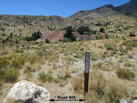
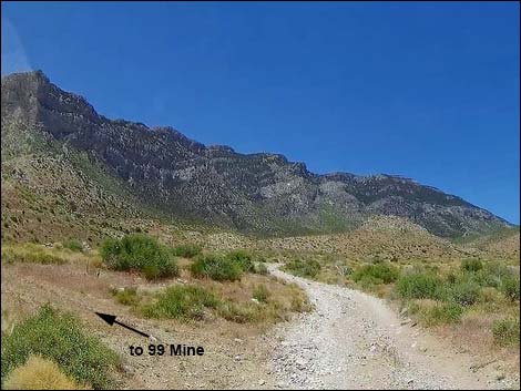
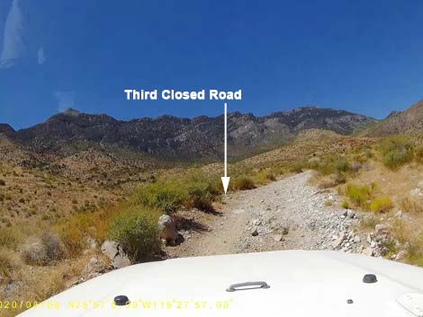
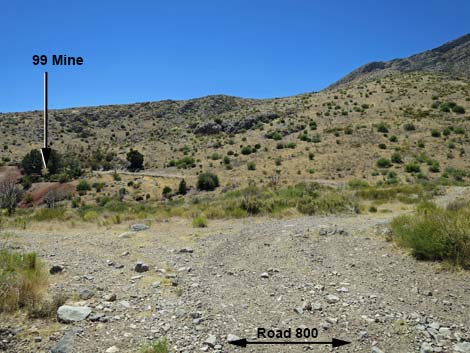
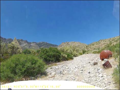
Ninetynine Mine Road continues past Road FR-800A curving gently to the west. Within about 100 yards, however, the road becomes so rocky that some jeep drivers stop and walk from there. At about 2.8 miles out, the road arrives at the Ninetynine Mine (Site 1129). There are three access roads, but the first two are closed. It is a short, 1-minute walk to the tailings pile from the first spur road, or drivers can continue to the third spur road and loop back to drive closer to the tailings pile. There is some old trash in the area, but nothing of value remains. The mine openings are interesting, but not safe to enter. Ninetynine Mine Road continues past the mine. At about 3.1 miles out, the road dips steeply into and crosses a wash. This is another spot that washes out and can provide difficulties for drivers in long-wheel-base vehicles. |
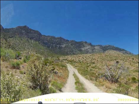
 Signs: entering Spring Mountains National Recreation Area (view NW) |
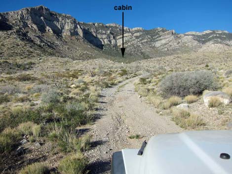
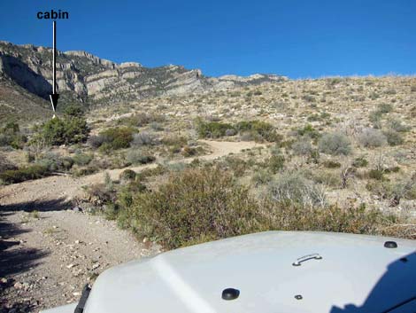
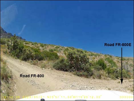
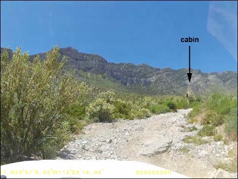
Across the wash, the road climbs the steep bank and bends sharply to the left, arriving at an intersection (Site 1932) where Road FR-800E branches to the right. For drivers heading to the A-frame cabin, stay left on Road FR-800. For hikers heading towards the Carol Lombard Crash Site, the roads to the two trailheads diverge here. Staying left, Road FR-800 runs southwest about 80 yards and bends to the right. On the outside of the curve, there is a small parking area on the left that really should be used by everyone unwilling to damage their vehicle. Otherwise, it is another 80 yards of rock-crawling to the A-frame cabin (Site 0869; 3.2 miles from Cottonwood Valley Road). The parking area on the left marks the trailhead for the Carol Lombard Direct Route. |
 Signs: entering Spring Mountains National Recreation Area (view W) |
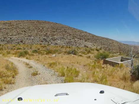
For the alternative Carol Lombard Wash Route trailhead, drivers turn right onto Road FR-800E (Site 1932). Road FR-800E runs down the hillside to the northeast to a rectangular cement water trough. Drivers in long-wheel-base vehicles should consider parking here. Otherwise, the road bends left and heads up a side canyon. Staying on higher ground, the narrow road runs out about 0.3 miles and dips steeply to cross a wash. The road runs along the northern hillside until dipping gently back into the narrow wash bottom. Immediately upon entering the wash (about 0.5 miles out), there is a wide spot on the left (Site 1933). Drivers can continue another 40 yards to a low pour-over, but most drivers will need to backup to this wide spot to turn around. This is the trailhead for the Carol Lombard Wash Route. |
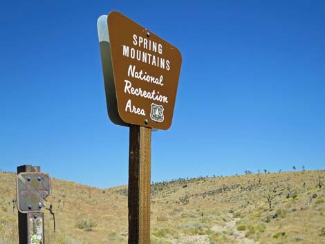 Signs: entering Spring Mountains National Recreation Area (view N) |
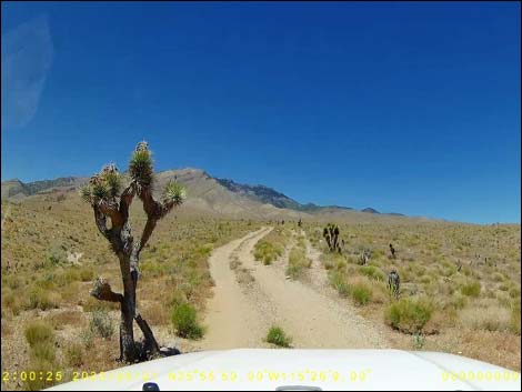
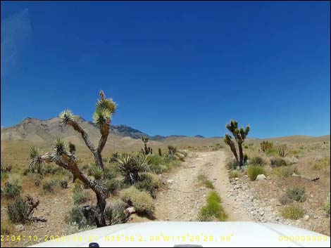
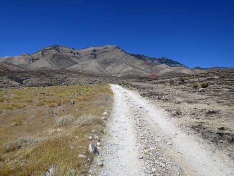
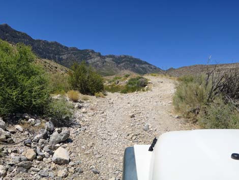
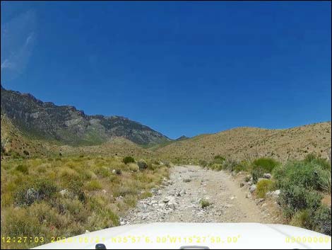
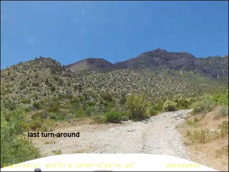
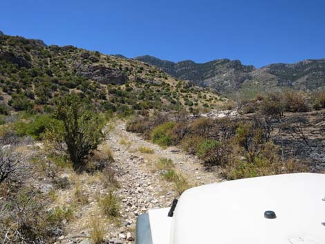
 Road FR-800C climbs a gentle hill (view NW) |
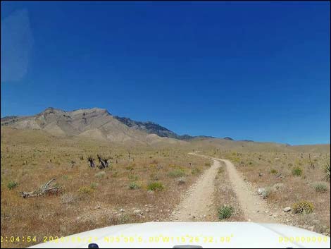
 Road FR-800C cresting the gentle hill (view NW) |
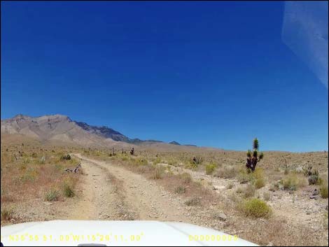
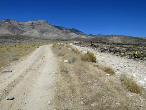
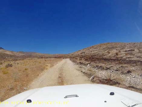
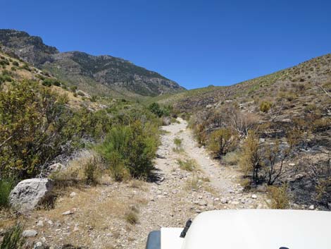
 Mostly easy road, but watch for erratic rocks (view NW) |
 Mostly easy road, but watch for erratic rocks (view NW) |
 Mostly easy road, but watch for erratic rocks (view NW) |
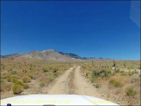
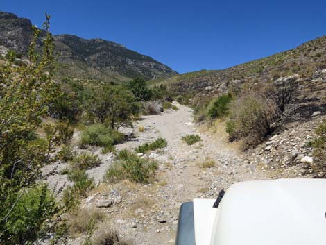
 The road seems to fork ahead (view NW) ... |
 ... but this is just a new parallel road (view NW) |
 Running parallel to the abandoned road (view NW) |
 Running parallel to the abandoned road (view NW) |
 The roads appear to merge, but not yet (view NW) |
 Still running parallel to the abandoned road (view NW) |
 A nice clump of Mojave yucca that survived the fire (view NW) |
 The road splits again; right rejoins old road (view NW) |
 Road FR-800C merges with Road FR-800B (view NW) |
 The original road is more rocky (view NW) |
 Road FR-800C winds among Joshua Trees that survived the 2005 fire |
 Most vegetation in this area burned in 2005 (view NW) |
 Road FR-800C approaching Road FR-800B (view NW) |
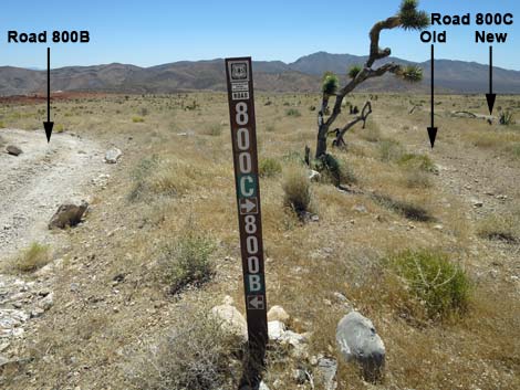 Sign at intersection of Road FR-800C and Road FR-800B (view E) |
 New Road FR-800C continues to parallel old Road FR-800C (view NW) |
 The 2020 fire burned up to Road FR-800C (view NW) |
 Road FR-800C merges into Road FR-800, on the left (view NW) |
 Sign: Road FR-800 merges from the left (view NW) |
 Road FR-800 splits to form a parallel road (view NW) |
 New Road FR-800 rejoining old Road FR-800 (view NW) |
 Road FR-800 drops gently towards a wash (view NW) |
 Road FR-800 approaching a fork in the road (view NW) |
 Road FR-800 approaching a wash crossing (view NW) |
 Easy now, but this can easily washout (view NW) |
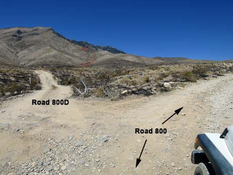 Road FR-800 at Road FR-800D (view W) |
 Road FR-800D (view W from Road FR-800) |
 Across the wash Road FR-800D forks left (view NW) |
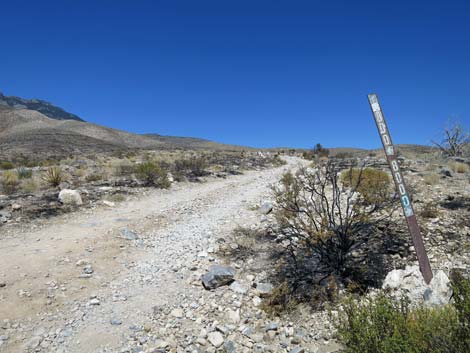 Road sign at intersection (view NW) |
 Road sign at intersection (arrows are backwards; view NW) |
 Road FR-800 continues on the old track (view NW) |
 Road FR-800 continues through the burn zone (view NW) |
 Road FR-800 continues through the burn zone (view NW) |
 Road FR-800 continues through the burn zone (view NW) |
 Near base of hills, Road FR-800A becomes visible (view NW) |
 The road drops into the wash (view NW) |
 Crossing the wash (view NW) |
 Approaching Road FR-800A (view NW) |
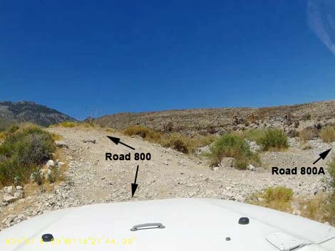 Intersection with Road FR-800A (view NW) |
 Steep, hill-climb with divots exiting the broad wash (view NW) |
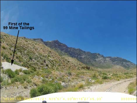 Out of the wash, the first of the 99 Mine tailings are visible (view W) |
 Road FR-800 dropping into broad wash (view NW) |
 Road FR-800 runs rocky (view NW) |
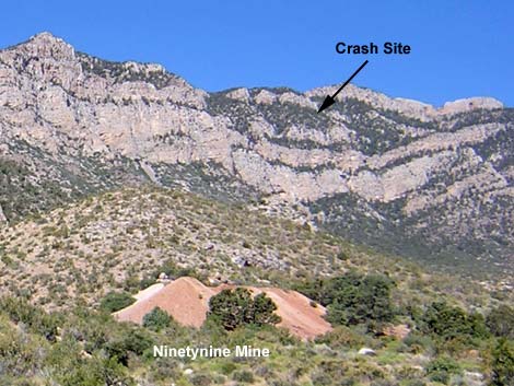 Ninetynine Mine and Carol Lombard crash site (view W) |
 Road FR-800 runs rocky (view NW) |
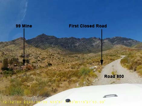 Approaching the first closed road to 99 Mine (view NW) |
 First closed road (view SW from Road FR-800) |
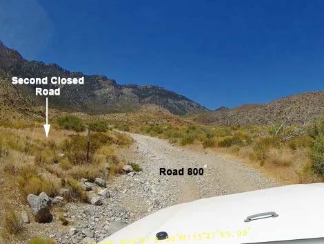 Approaching second closed road to 99 Mine (view NW) |
 Second closed road to 99 Mine (view NW) |
 Second closed road to 99 Mine (view W from Road FR-800) |
 Road FR-800 approaching third closed road to 99 Mine (view NW) |
 Road FR-800 at third road to 99 Mine (view NW) |
 third road to 99 Mine (view S from Road FR-800) |
 Road FR-800 continues being quite rocky (view NW) |
 Road FR-800 becomes smoother past the mine (view NW) |
 Road FR-800 becomes smoother past the mine (view NW) |
 Peak of A-frame cabin comes into view (view W) |
 Road FR-800 approaching another wash crossing (view W) |
 Another wash crossing; shadow shows washed-out dip (view W) |
 Wash crossing; dip is not too bad this year (view W) |
 Road FR-800 at Road FR-800E (view NW) |
Staying Left on Road FR-800 to the A-frame Cabin and Trailhead for the Carol Lombard Direct Route.
Road FR-800 at Road FR-800E (view NW) |
 Road FR-800 bends hard to the left (view SW) |
 Road FR-800 bends hard to the left (view SW) |
 Sign: Road FR-800 (view SW) |
 Last place to park on Road FR-800 (view SW) |
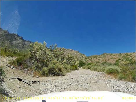
 A-frame cabin is visible from the parking area (view W) |
 Road FR-800 rock-hops up wash towards the A-frame cabin (view W) |
 Road FR-800 climbs rocky wash towards the A-frame cabin (view W) |
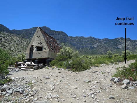
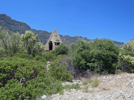 A-frame cabin (view W from the road) |
 Road FR-800 exits wash towards the A-frame cabin (view NW) |
 Parking at A-frame cabin (view NW |
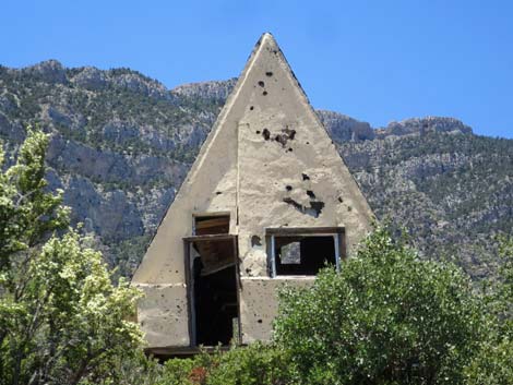 Front of the A-frame cabin (view W) |
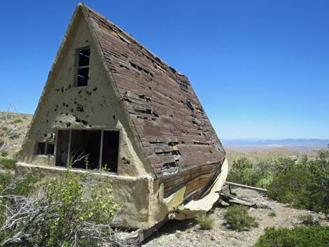 A-frame cabin with a view (view E) |
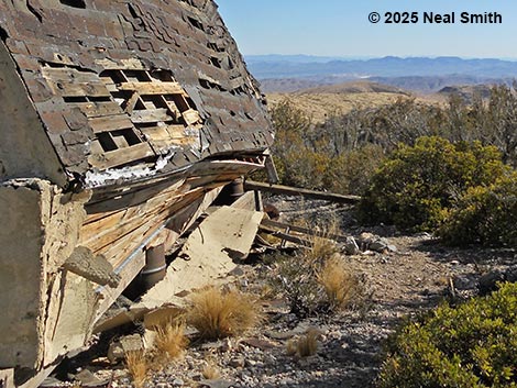 A-frame cabin continues to deteriorate (view E; Feb 2025) |
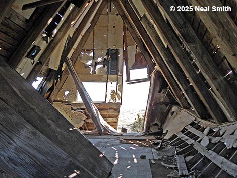 A-frame cabin interior (view E; Feb 2025) |
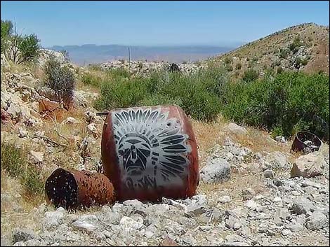 Graffiti on rusting debris (view E) |
Turning Right onto Road FR-800E to the Trailhead for the Carol Lombard Wash Route
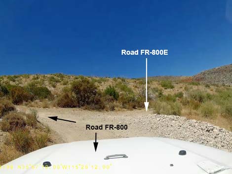 Road FR-800 at Road FR-800E (view N) |
 Road FR-800E (view N from Road FR-800) |
 Sign: Road FR-800E (view N from Road FR-800) |
 Starting up Road FR-800E (view N) |
 The only tree, and it's growing into the road (view NE) |
 Road FR-800E approaching concrete structure and graves (view NE) |
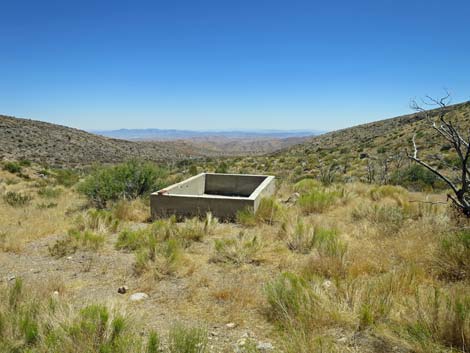 Old watering trough (view E) |
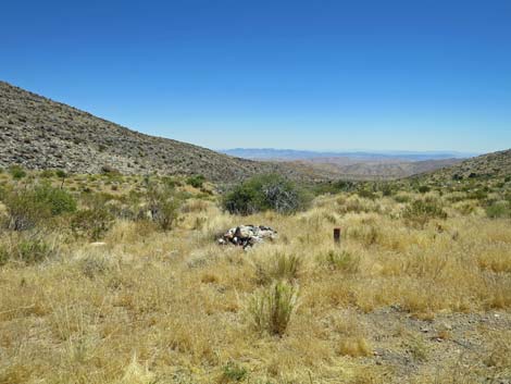 A grave site? (view E) |
 Road FR-800E approaching a line of fire retardant (view NW) |
 Approaching jurisdictional boundary (view NW) |
 Leaving Spring Mountains NRA; entering Red Rocks (view NW) |
 Narrow road runs along base of hillside (view NW) |
 Road FR-800E dips into the wash (view NW) Road FR-800E dips into the wash (view NW) |
 Steep bit climbing the bank out of the wash (view NW) |
 Road FR-800E held as a fire line (view NW) |
 Road FR-800E held as a fire line (view NW) |
 Road FR-800E runs down into a wash (view NW) |
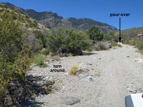 Entering the wash, this is the place to turn around (view NW) |
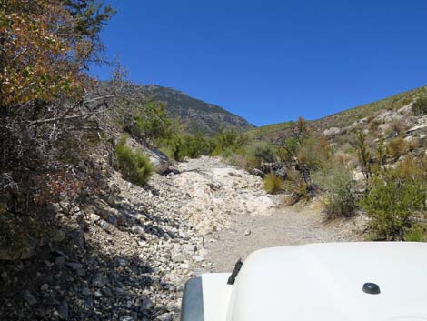 Road FR-800E ends for normal vehicles at pour-over (view NW) |
 More to come ... |
Table 1. Highway Coordinates based on GPS Data (NAD27; UTM Zone 11S). Download Highway GPS Waypoints (*.gpx) file.
| Wpt. | Location | Latitude (N) | Longitude (W) | Elevation (ft) | Point-to-Point Distance (mi) | Cumulative Distance (mi) |
|---|---|---|---|---|---|---|
| 1931 | Cottonwood Valley Road at Road FR-80 | 36.92499 | 115.42935 | 4,518 | 0.00 | 0.00 |
| 1125 | FR800B at FR800C | 35.93581 | 115.44268 | 4,903 | 1.09 | 1.09 |
| 1126 | FR800C at FR800 | 35.94035 | 115.45176 | 5,122 | 0.62 | 1.71 |
| 1127 | FR800 at FR800D | 35.94243 | 115.45413 | 5,190 | 0.20 | 1.91 |
| 1128 | FR800 at FR800A | 35.95117 | 115.46153 | 5,504 | 0.75 | 2.66 |
| 1129 | FR800 at 99 Mine Rd | 35.95211 | 115.46425 | 5,607 | 0.17 | 2.83 |
| 1932 | Road FR-800 at Road FR-800E | 35.95314 | 115.46941 | 5,742 | 0.32 | 3.15 |
| 0869 | Road FR-800 at A-Frame Cabin | 35.95287 | 115.47074 | 5,849 | 0.09 | 3.24 |
| . | . | . | . | . | . | |
| 1932 | Road FR-800 at Road FR-800E | 35.95314 | 115.46941 | 5,742 | 3.15 | 3.15 |
| 1933 | Road FR-800E Ends | 35.95676 | 115.47406 | 5,855 | 0.46 | 3.61 |
Happy Hiking! All distances, elevations, and other facts are approximate.
![]() ; Last updated 250215
; Last updated 250215
| Backroads | Hiking Around Las Vegas | Glossary | Copyright, Conditions, Disclaimer | Home |