Hiking Around Las Vegas, Red Rock Canyon National Conservation Area
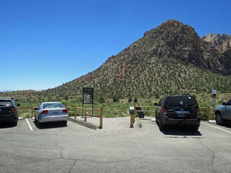 Edge of the parking area at Ice Box Canyon Trailhead (view S) |
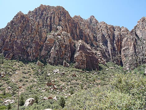
Overview -- edits in progress The Ice Box Canyon Trail leads into one of the deep, narrow canyons that cut into the Red Rocks cliffs, climbing about 500 ft in 1.1 miles to a series of waterfalls in the Rainbow Mountain Wilderness Area. The hike is beautiful, but the trail and canyon bottom are very rocky, so the hike is slow and strenuous. The bottom of the canyon rarely gets full sun, resulting in almost perennially cool conditions, hence the name. High cliffs and water polished rock block further progress up the canyon. This hike runs through Mojave Desert Scrub community up into Pinyon-Juniper Woodland community, and also up where a few low-elevation ponderosa pine can be found. Link to BLM Georeference PDF map file. |
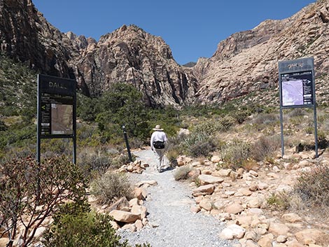
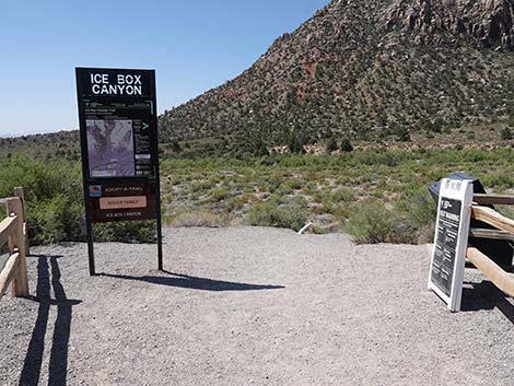 Ice Box Canyon Trailhead sign (view S) |
Watch Out Other than the standard warnings about hiking in the desert, ...this moderately strenuous hike requires hiking on a rocky trail and climbing over and around boulders in the wash after the trail ends. Be careful when high enough to fall and get hurt, and always watch for wet or icy rocks. Be particularly careful on the water-polished slickrock at the base of the falls. While hiking, please respect the land and other people out there, and please try to Leave No Trace of your passage. Also, even though this is a short hike, be sure to bring what you need of the 10 Essentials. Getting to the Trailhead This hike is located along the Scenic Loop Road in Red Rock Canyon National Conservation Area, about 1 hour west of Las Vegas. Drive out to Red Rocks, pay the fee, and then drive about 2/3rds of the way around the Scenic Loop to the Ice Box Canyon Trailhead. Park here; this is the trailhead. |
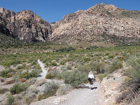
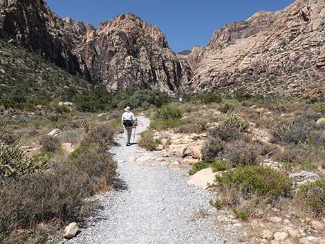
 Hiker departing the Ice Box Canyon Trailhead (view SW) |
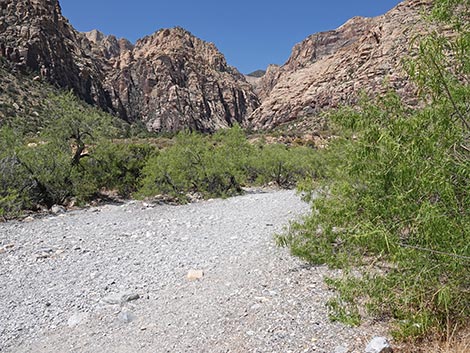
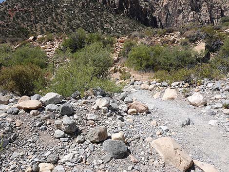
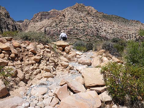
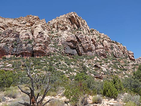
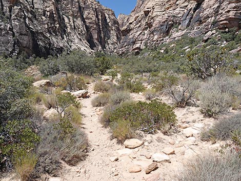
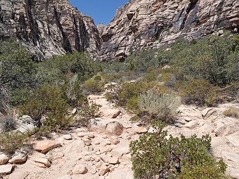
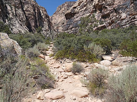
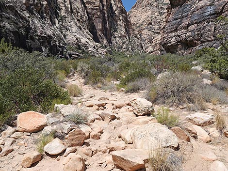
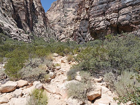
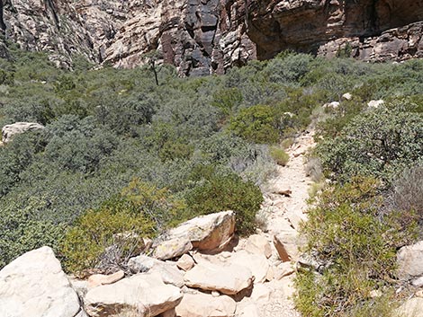
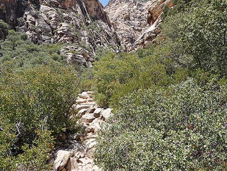
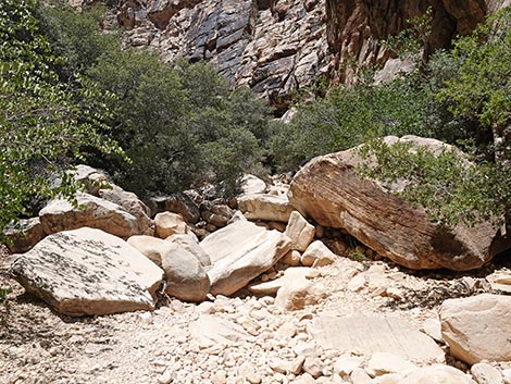
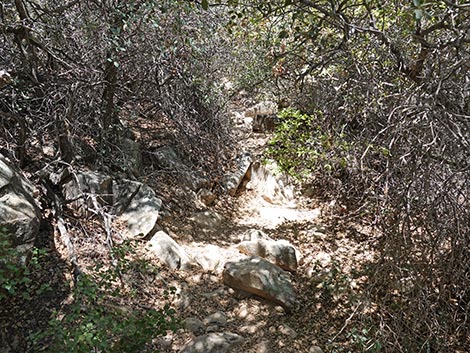
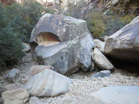
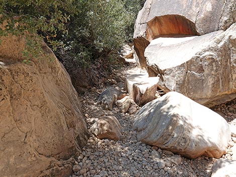
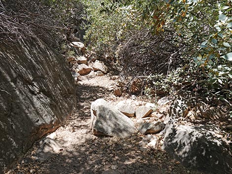
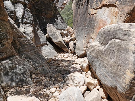
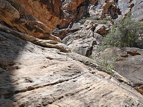
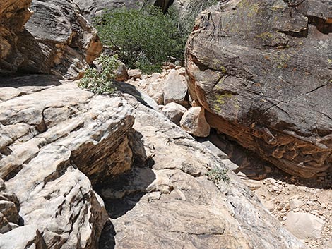
The Hike From the trailhead (Table 1, Waypoint 01), the trail runs west to cross Red Rock Wash before climbing towards the mouth of the Ice Box Canyon. Early on, the trail is well defined as it leads up towards the mouth of the canyon. About 0.2 miles out, the trail intersects the SMYC and Dales trails (Wpt. 2). The SMYC Trail runs north to the Willow Spring Area, while Dales Trail runs south to Pine Creek Canyon. Although it is not entirely apparent from the start, the trail does not follow Ice Box Wash up into the canyon, at least not initially. Rather, the trail climbs onto a rocky bench north (right) of the wash. At about 0.8 miles out, the canyon narrows, the bench pinches out (Wpt. 03), and the trail drops steeply into the bottom of the canyon. From this point, there is not trail, but the route continues up the wash, climbing over and around boulders all the way to the end. If the bottom of the canyon seems blocked by boulders, look for paths through the shrub live oaks on south (left) side of the canyon to get around obstacles and pools of water. |
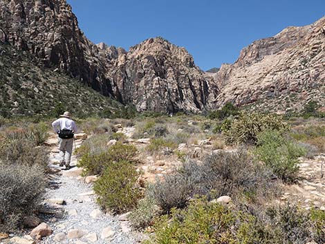
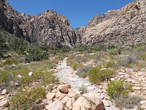
 Hiker starting on the Ice Box Canyon Trail (view W) |
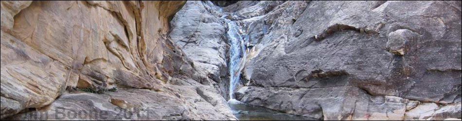
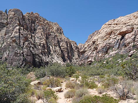
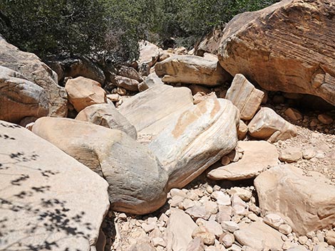
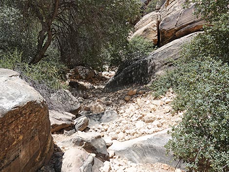
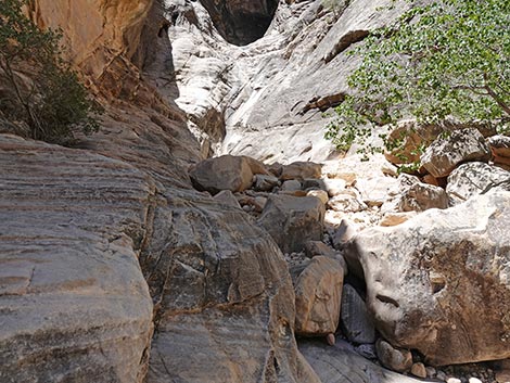
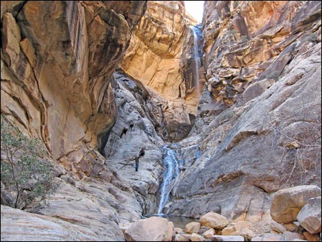
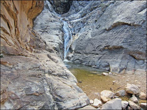
After about 0.20 miles of scrambling up the wash, the route passes the remains of an ancient Ponderosa Pine. This majestic tree grew right in the bottom of the canyon, but it died and fell over. The living tree used to mark the end of the official Ice Box Canyon Trail, but now the huge log marks the end of the trail and serves as a monument to the memory of this grand old tree. Just past the ponderosa pine tree, hikers can look up the canyon and see that it forks. The route continues up the wash for another 5 minutes to the fork (Wpt. 04). At the fork, cliffs block the northern fork of the canyon, while overhanging walls and a seasonal waterfall block the southern fork. The destination, however, is a few steps farther up the south fork. |
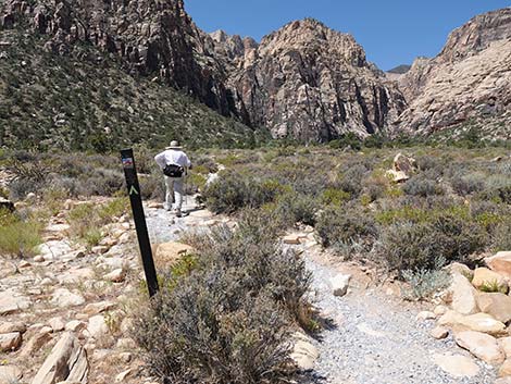
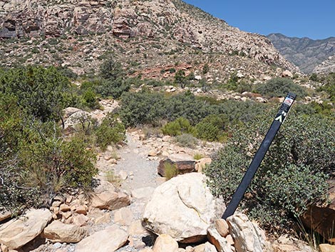
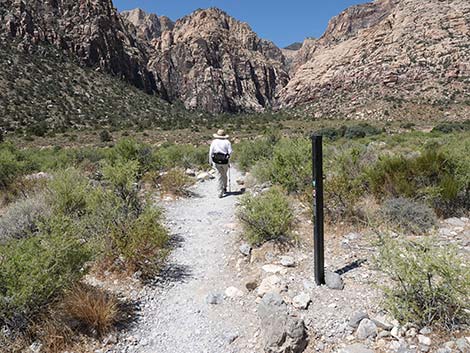 First of several trail markers (view SW) |
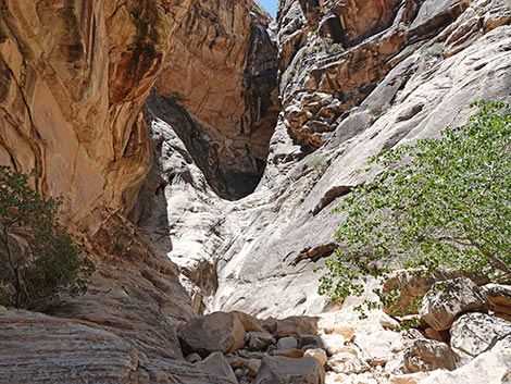
In the bottom of the wash, a series of three water-sculpted pools block access to the base of this waterfall. To get up to the base of the falls, backtrack a few feet, climb the south wall behind a tree using a cleft in the rocks, then climb onto and traverse a ledge that leads into the base of the falls. The first pool is in the bottom of the wash at this point and is easy to get to, but be prepared for some serious slickrock scrambling to get to the second and third pools (Wpt. 05). In the northern fork of the canyon, a waterfall blocks easy progress after just two or three minutes of scrambling. That route looks passable with some climbing, but I would want a rope for the down climb. I've heard that a "rabbit hole" somewhere in here permits access to the upper canyon. Enjoy a cool lunch at the base of the falls, then when ready, retrace your steps to the trailhead. |
 Trail crosses desert flat heading towards Red Rock Wash (view SW) |
 Hiker approaching Red Rock Wash (view SW) |
 Trail drops into a thicket of shrubs at edge of Red Rock Wash |
 Hiker entering Red Rock Wash (view SW) |
 Hiker crossing Red Rock Wash (view SW) |
 Trail angles up Red Rock Wash (view SW) |
 Hiker at far edge of Red Rock Wash (view SW) |
 Trail passes through Desert Willow Trees (view SW) |
 Trail leads towards west bank of Red Rock Wash (view S) |
 Hiker on stone stairs climbing out of the wash (view S) |
 Stone stairs switchback up the wash bank (view W) |
 Hikers on north bench below Ice Box Canyon (view SW) |
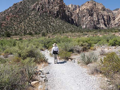
 Hiker heading across open desert with grand scenery (view SW) |
 Watch for rarely seen Black-chinned Sparrows in this area |
 Trail crew hauled a lot of gravel for the trail (view SW) |
 Hiker approaching trail junction (view SW) |
 Hiker passing junction with SMYC Trail and Dales Trail (view SW) |
 Ice Box Trail continues past the trail junction (view SW) |
 Ice Box Trail continues towards the canyon narrows (view SW) |
 Trail angles right past marker to run towards the hills (view W) |
 Trail soon bends back towards the canyon narrows (view SW) |
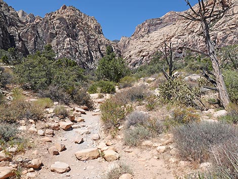
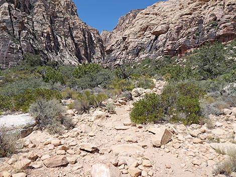
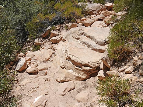
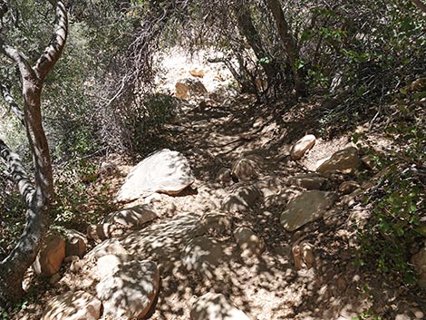
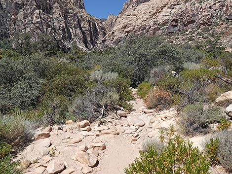 The trail gets to be more rocks than dirt (view SW) |
 So many rocks -- watch for gaps in the trees (view SW) |
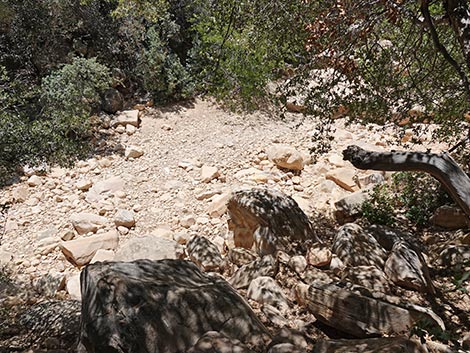
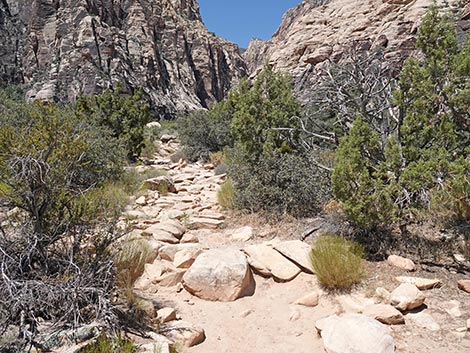 So many rocks (view SW) |
 So many rocks -- watch for gaps in the bushes (view SW) |
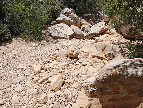
 So many rocks (view SW) |
 So many rocks -- watch for gaps in the bushes (view SW) |
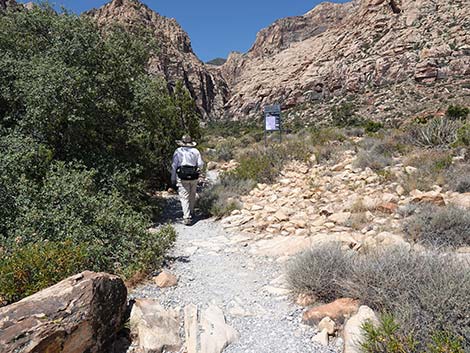
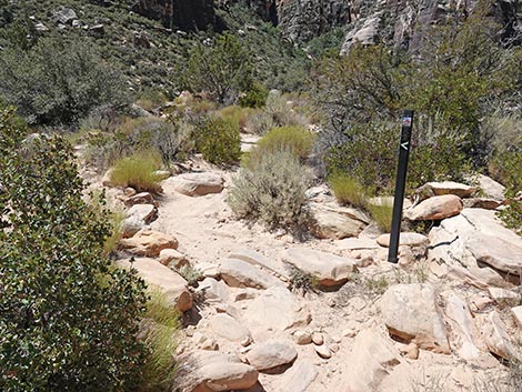 A few trail markers help guide hikers (view SW) |
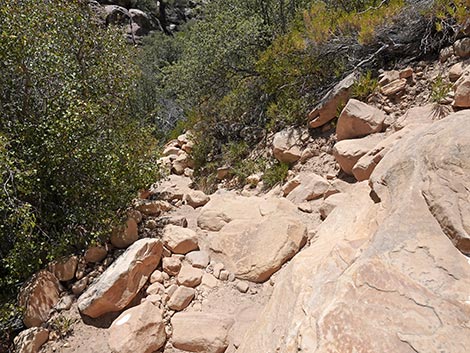
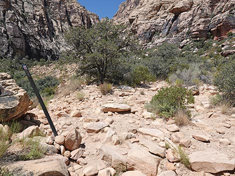 Trail does not drop into wash bottom here (view SW) |
 Trail continues above the wash (view W) |
 Grand scenery (view S) |
 Grand scenery (view N) |
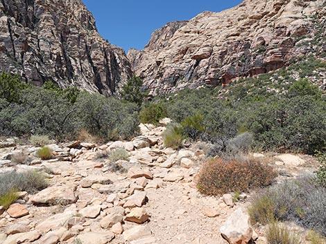
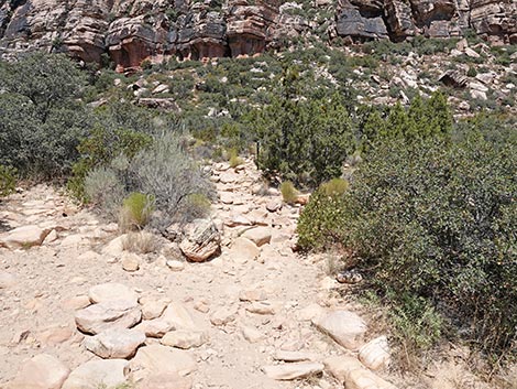
 So many rocks -- watch for gaps in the bushes (view SW) |
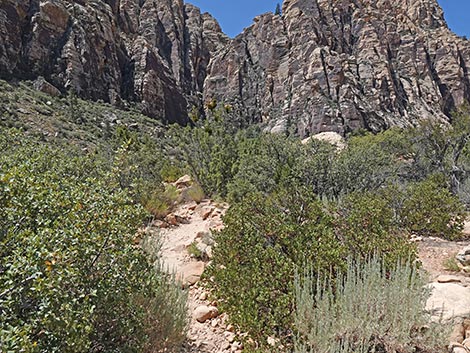
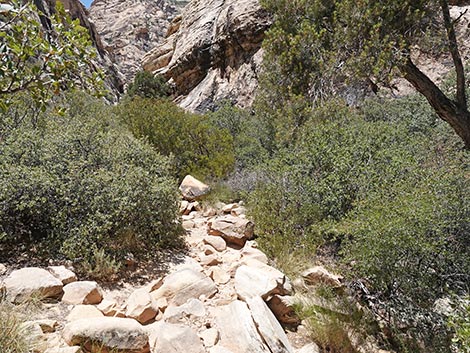
 Getting closer to the narrow canyon (view W) |
 |
 |
 |
 |
 |
 |
 |
 |
 |
 |
 |
 |
 |
 |
 |
 A route down to the wash; worse than the next route down |
 |
 |
 |
 |
 |
 |
 |
|
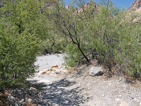
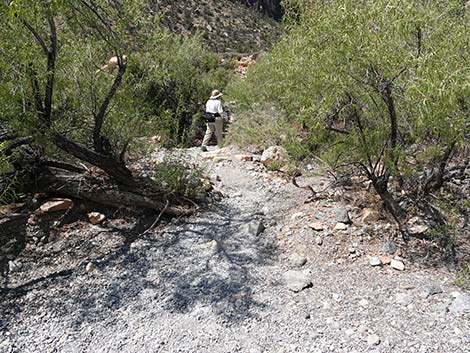
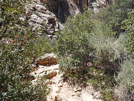
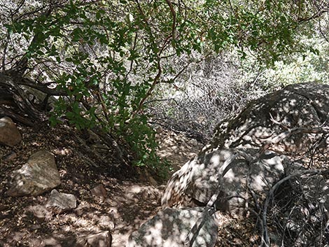
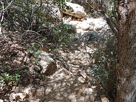
 Trail drops into tunnel through the trees (view SW) |
 Descending steeply into the tunnel of trees (view SW) |
 Tunnel of trees (view SW) |
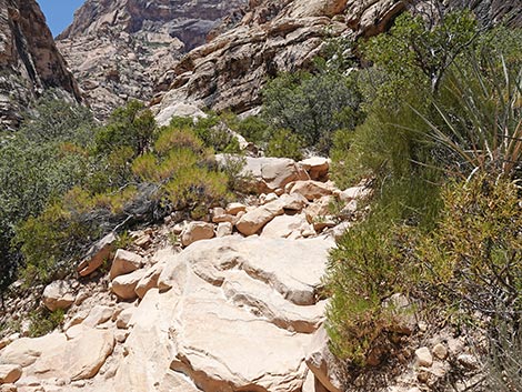
 Exiting the tunnel of trees into the wash bottom (view SW) |
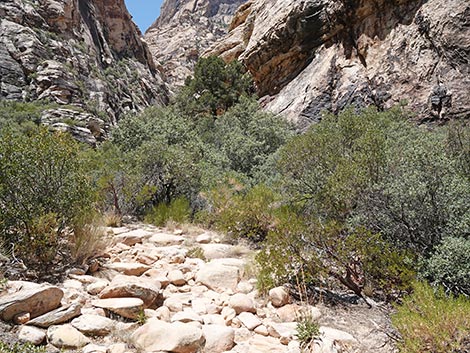
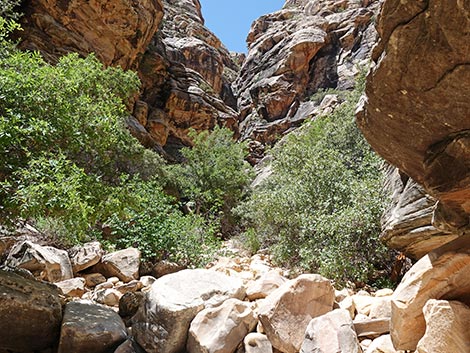
 Bottom of the canyon below tunnel of trees (view W) |
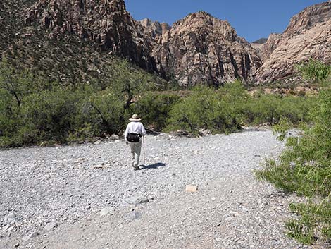
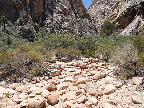
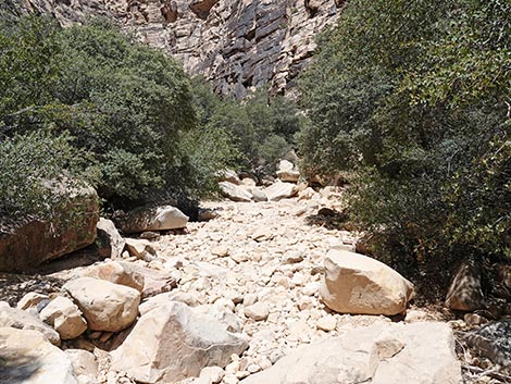
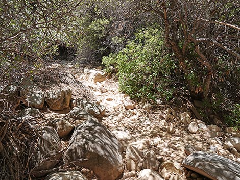
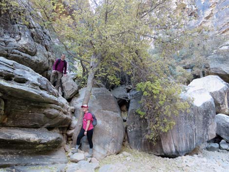
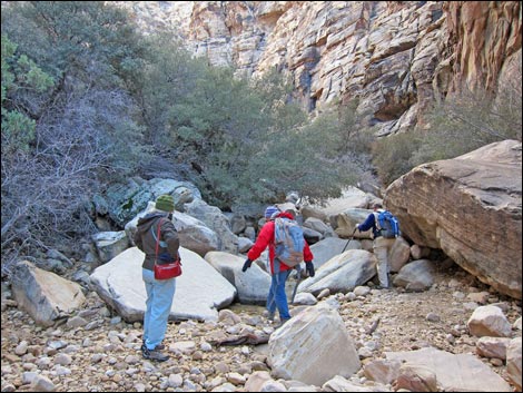 Hikers (for perspective) starting up the wash (view SW) |
 Starting up the wash (without hikers for perspective; view SW) |
 |
 |
 |
 |
 |
 |
 |
 |
 |
 |
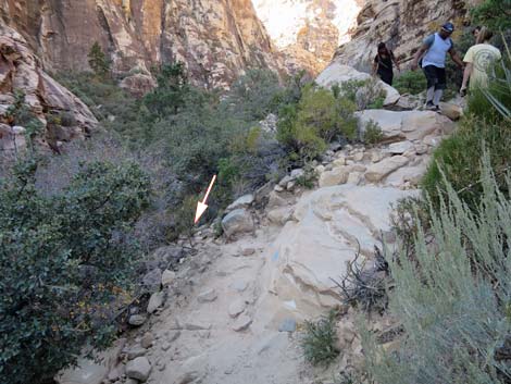
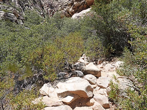
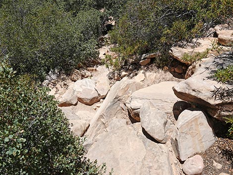
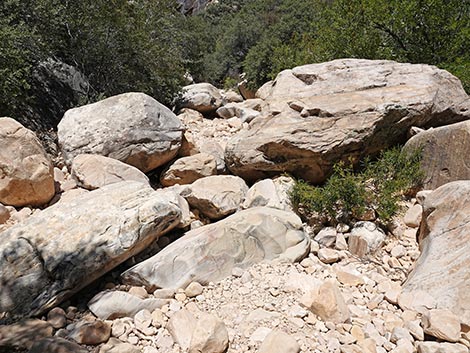
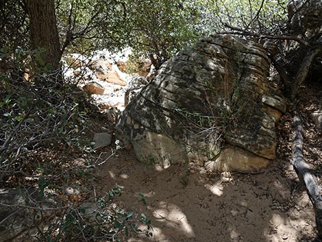
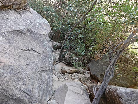
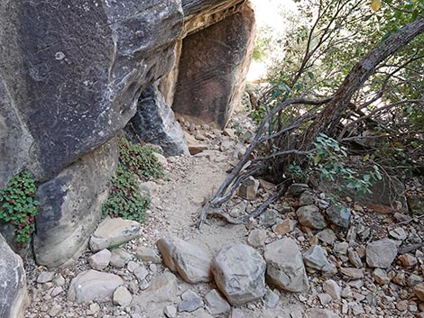
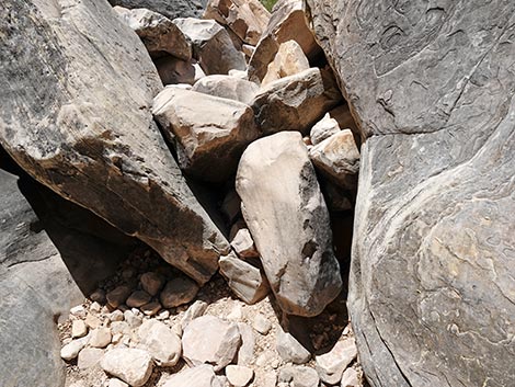
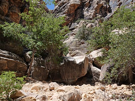
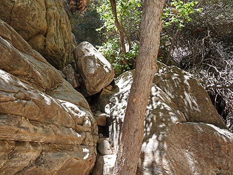
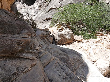
 In places like this, try to stay left (view W) |
 |
 |
 |
 |
 |
 |
 |
 |
 |
 |
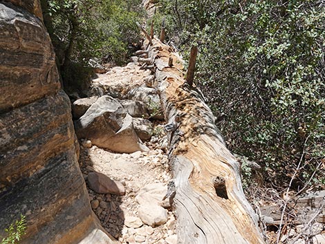 Grand, old tree that died and fell over (view W) |
 |
 |
 |
 |
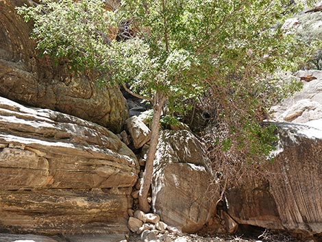 |
 Turning into south fork; use bypass behind tree (view SW) |
 Pool of water can block access to the falls (view SW) |
 Hikers at the bypass (view SW) |
 Above the bypass, the route traverses sloping ledge (view SW) |
 |
 |
 |
 |
 |
 Hikers on ledge traversing cliff above Lowest Pool (view SW) |
 |
 |
 Upper and Lower falls during winter (view SW) |
 |
 Upper falls (view SW) |
 |
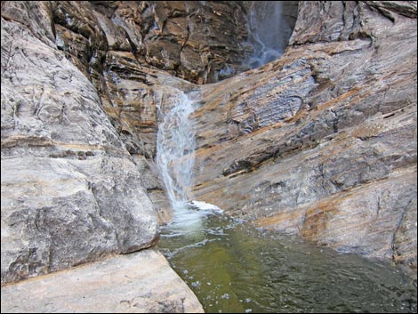 Middle falls and pool (view SW) |
 Middle falls and pool (view SW) |
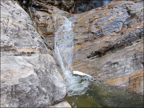
 Lower falls during winter (view SW) |
 |
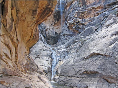 Upper and Lower falls (view SW) |
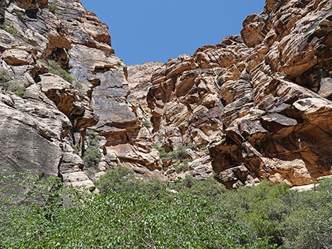 |
Table 1. Hiking Coordinates Based on GPS Data (NAD27; UTM Zone 11S). Download GPS Waypoints (*.gpx) file.
| Wpt. | Location | Easting | Northing | Elevation (ft) | Point-to-Point Distance (mi) | Cumulative Distance (mi) | Verified |
|---|---|---|---|---|---|---|---|
| 01 | Trailhead | 636455 | 4001450 | 4,280 | 0.00 | 0.00 | Yes |
| 02 | Dale-SMYC junction | 636233 | 4001217 | 4,307 | 0.21 | 0.21 | GPS |
| 03 | Trail drops into wash | 635455 | 4000820 | 4,520 | 0.61 | 0.82 | GPS |
| 04 | Fork in the canyon | 635110 | 4000720 | 4,640 | 0.24 | 1.06 | GPS |
| 05 | Upper pools | 635083 | 4000681 | 4,710 | 0.03 | 1.09 | GPS |
Happy Hiking! All distances, elevations, and other facts are approximate.
![]() ; Last updated 250630
; Last updated 250630
| Hiking Around Red Rocks | Hiking Around Las Vegas | Glossary | Copyright, Conditions, Disclaimer | Home |