Hiking Around Las Vegas, Red Rock Canyon National Conservation Area
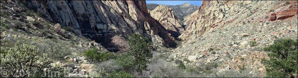
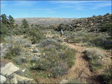
 1.8 miles out, a nice place to stop for lunch (view E) |
Overview The hike into First Creek Canyon starts out as a pleasant 1.3-mile walk across a desert valley beneath towering red-and-white sandstone cliffs with an option to visit a desert waterfall. After that, hikers can go as far as they like up the canyon and into the mountains, but the route becomes increasingly aggressive. Hiking a total of 1.8 miles up the canyon brings hikers to a nice place to stop for lunch before returning back down the trail for a total of 3.6 miles round trip. The hike into the canyon is described elsewhere; presented here are photos of the descent and return to the trailhead. Link to map. Link to BLM Georeference PDF map file. |
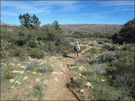
 Departing the lunch spot and starting down the trail (view E) |
 The trail is well-defined in places (view E) |
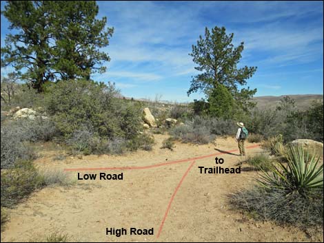
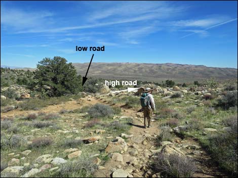 Trail forks; stay right onto "high road" (view E) Trail forks; stay right onto "high road" (view E) |
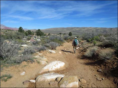
 Starting down the "high road" (view E) |
 Exiting Rainbow Mountains Wilderness Area (view E) |
 Looking back, carsonite wilderness boundary sign (view W) |
 Use-trails fork again; right two trails eventually merge (view E) |
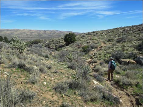 Hiking across hillsides (view E) |
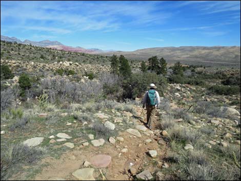 Beginning down towards canyon bottom (view NE) |
 Descending towards canyon bottom (view NE) |
 Nearing canyon bottom (view NE) |
 "High road" and "low road" merge by ponderosa pines (view NE) |
 Trail junction by ponderosa pines (view NE) |
 Hiker approaching the last of the shade (view NE) |
 Hiker beyond the mouth of the canyon (view NE) |
 Western trail junction to First Creek Falls (view E) |
 Hiker approaching the last (aka "first") pine tree (view E) |
 Hiker passing the last (aka "first") (view E) |
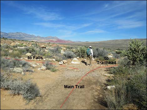 Hiker passing the eastern trail junction to First Creek Falls (view NE) |
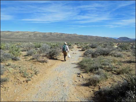 Hiker on easy trail (view E) |
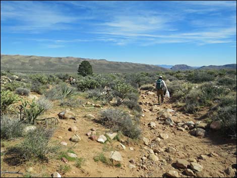
 Hiker on rocky trail (view E) |
 Hiker on eroded trail (view E) |
 Entering the burn zone (view E) |
 Hiker in the burn zone -- few plants growing back (view E) |
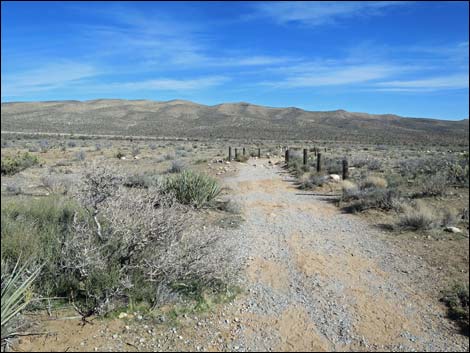
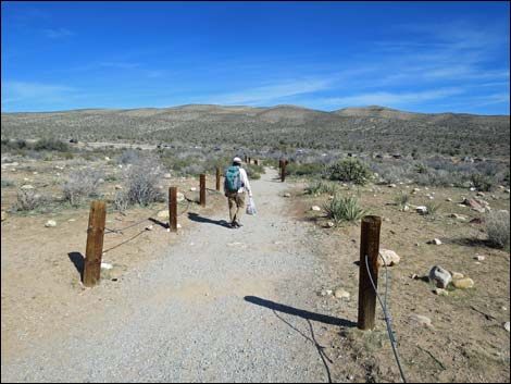
 Alternating, intermittent post-and-cable fencing in burn zone |
 Hiker in the burn zone (note trash bag; view E) |
 Hiker re-entering unburned zone near Oak Creek Wash (view E) |
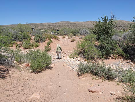 Hikers crossing Oak Creek Wash (view NE) |
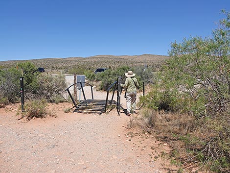 Hiker exiting through the swing gate at the trailhead (view NE) |
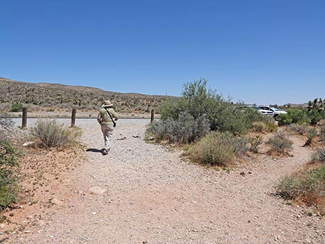 Hiker arriving back at the trailhead (view SE) |
Happy Hiking! All distances, elevations, and other facts are approximate.
![]() ; Last updated 250524
; Last updated 250524
| Hiking Around Red Rocks | Hiking Around Las Vegas | Glossary | Copyright, Conditions, Disclaimer | Home |