(from Ivanpah Road west to Caruthers Canyon Road and Cedar Canyon Road)
Hiking Around Las Vegas, Mojave National Preserve
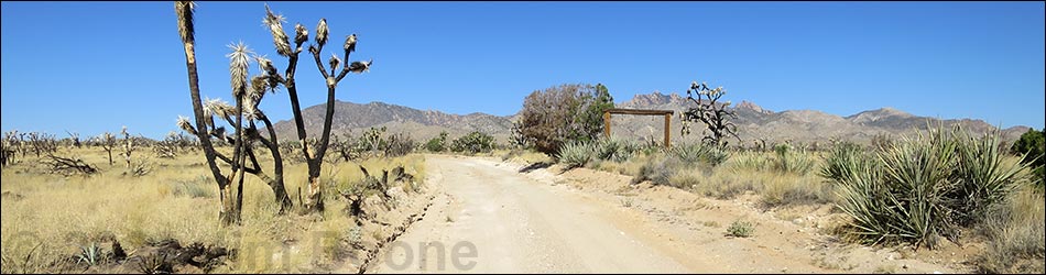
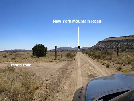
 Ivanpah Rd at New York Mountain Rd (view S) |
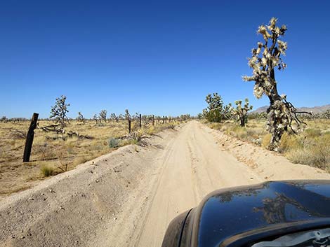
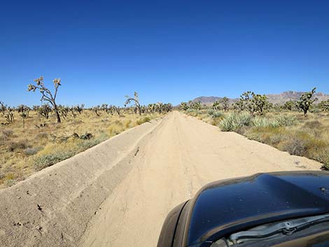
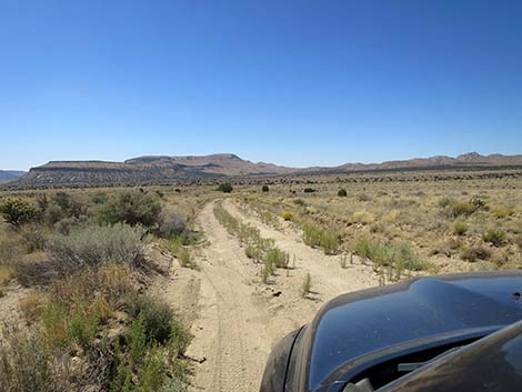
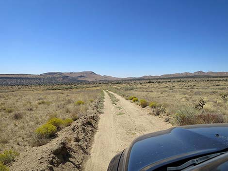
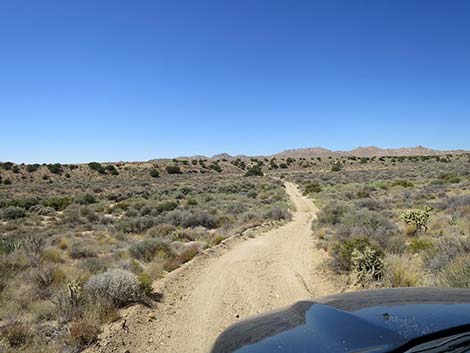
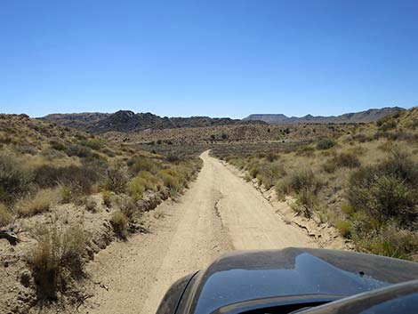
Overview New York Mountain Road is a graded dirt road in Mojave National Preserve that connects Ivanpah Road with Cedar Canyon Road, a distance of about 12 miles. The road can be a bit sandy and washed out, but normally it is a reasonably well maintained road. Initially, the road runs north across well-vegetated high desert flats with scattered Utah Juniper trees, a few cattle, and ever improving views of the New York Mountains. Eventually, the road turns east to run across rolling terrain in the foothills of the New York Mountains. In this area, the 2023 York Fire burned some 93,000 acres. Most of the trees, shrubs, and Joshua Trees are gone, but native bunchgrasses are growing back. This road provides access to north-central portions of the Mojave National Preserve, and in particular it is used for access to the Caruthers Canyon recreational sites in the New York Mountains. Link to map. |
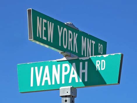 Ivanpah Rd - New York Mtn Rd street sign (view S) |
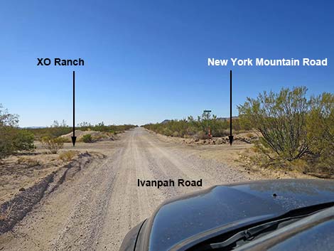
Watch Out Other than the standard warnings about the desert, ... New York Mountain Road is safe and should be passable in a sedan, but it is not as well maintained as the main dirt roads in the area (e.g., Ivanpah Road and Cedar Canyon Road). There is some sand, but are no unusual hazards, and under normal conditions the road should be passable in a 2WD-HC vehicle. Without such a vehicle, inquire locally about current conditions. While out in the desert, please respect the land and the other people out there, and try to Leave No Trace of your passage. Also, the area is remote, so be sure to bring the 10 Essentials. Getting to the Road This road is located in California, about 2 hours south of Las Vegas. From town, drive south on I-15. From Primm, Nevada, drive south 9.5 miles. Exit the interstate onto Nipton Road (Exit 286) and drive east 3.6 miles to Ivanpah Road. Turn right onto Ivanpah Road and drive south 24.2 miles to New York Mountain Road, on the right. |
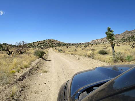
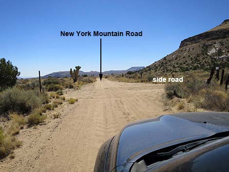
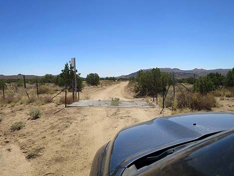
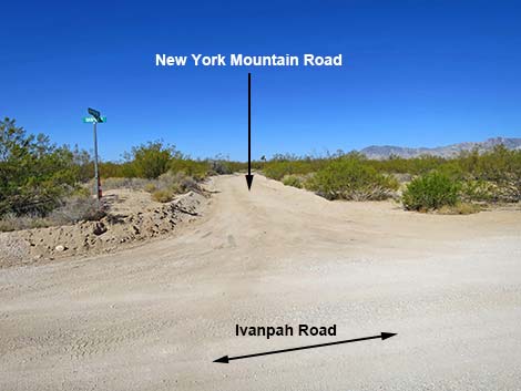 New York Mountain Road (view W from Ivanpah Road) |
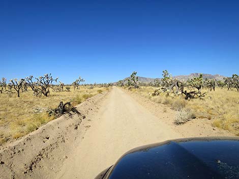
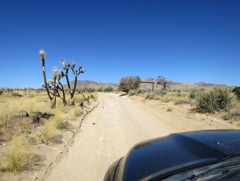
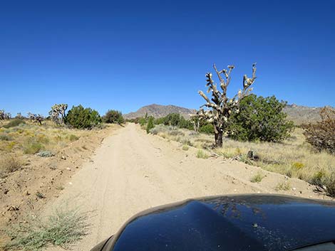
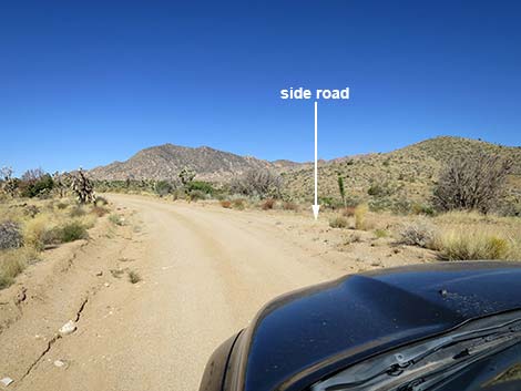
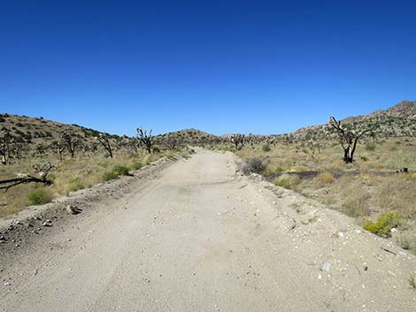
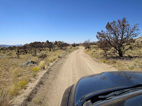
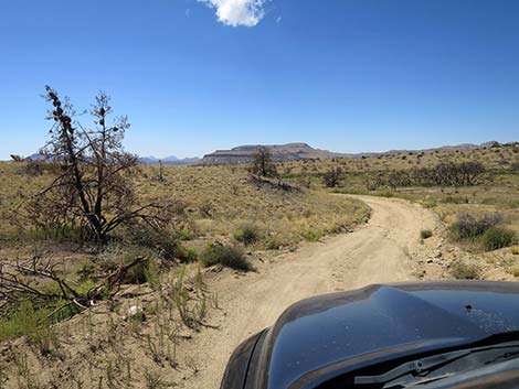
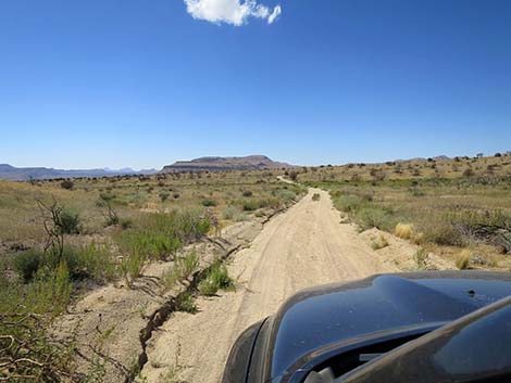
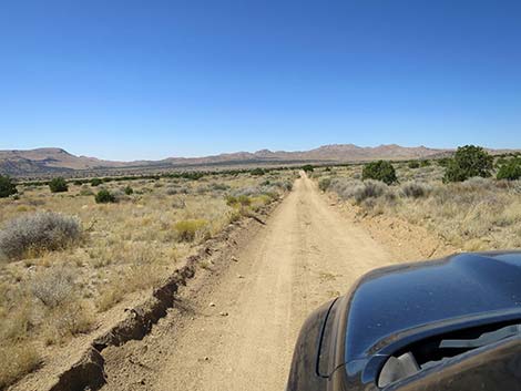
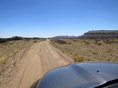
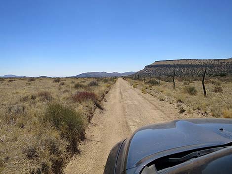
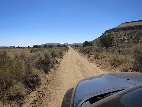
The Road From Ivanpah Road (Table 1, Site 1259), New York Mountain Road runs west 12.5 miles to a T-intersection with Cedar Canyon Road (Site 1450). Driving west-northwest, the sometimes sandy road runs at a gradual incline through an expansive Eastern Joshua Tree forest towards the south edge of the New York Mountains. At about 0.6 miles out, the road goes into the 2023 York Fire burn zone. The fire was patchy in this area, so at times everything is burned, but at other time only one side of the road or the other is burned. It will be interesting to see what grows back, but with the changing climate, we should not expect to see the Joshua Trees come back to the way they were before the fire. At about 3.1 miles out, the road passes a 4-way intersection with Ross Ranch Road (note name on 4x4 post), and at 4.2 miles out, a minor side road merges from the right. |
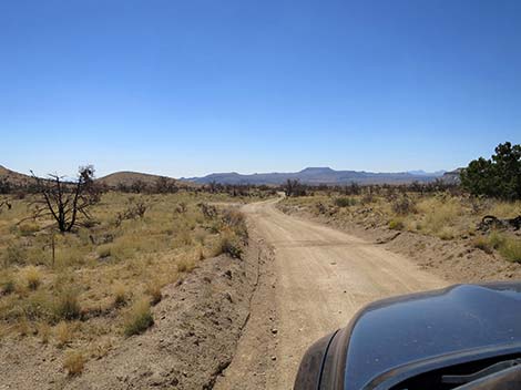
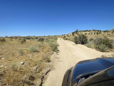
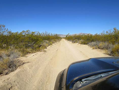 Start of New York Mountain Road (view W) |
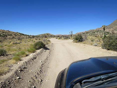
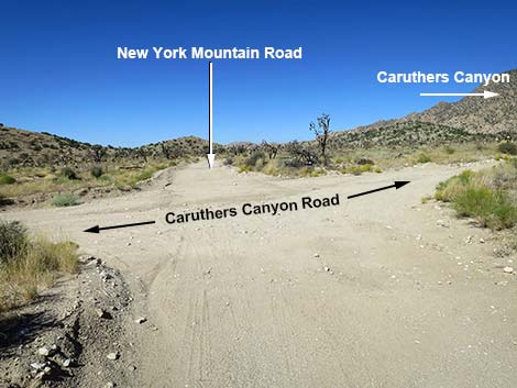
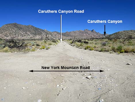
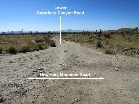
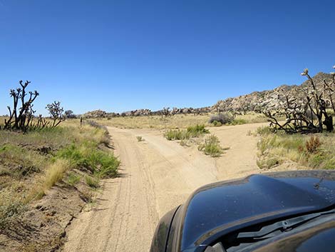
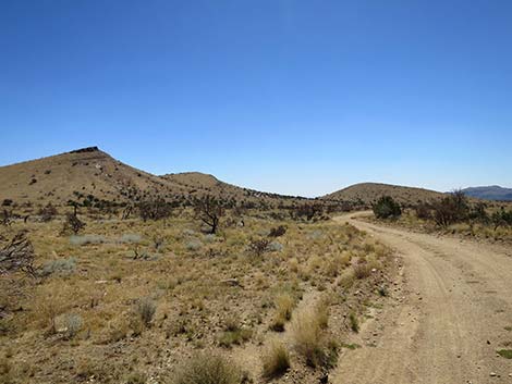
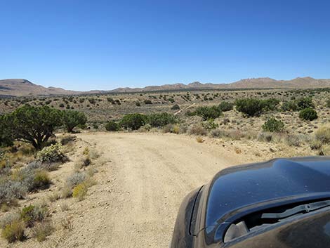
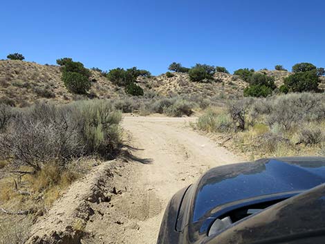
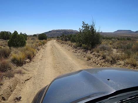
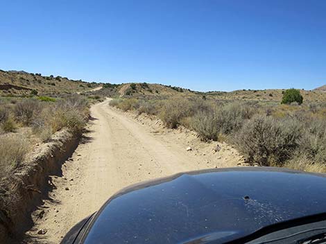
In this area, the road becomes more sandy and slightly steeper than it had been, creating a situation where lose sand on hard subsurface can cause some slipping in 2WD trucks. Despite the sand, drivers should expect to not get stuck. At about 5.7 miles out, reaches a 4-way intersection with Caruthers Canyon Road (Site 1260). For most people, this ends the use of New York Mountain Road, as they turn right and drive north into the New York Mountains. For others, a somewhat rougher road continues west and then south to Cedar Canyon Road (Site 1450). Continuing west on New York Mountain Road, the road runs towards low, rolling hills. At about 6.1 miles out, the road reaches a side road to the right that leads to campsites among rock piles. Shortly before this side road, several minor side road branch off and lead to old mining sites (mostly to the left), but these side roads are barely noticeable. At about 6.5 miles out, a side road to the right leads to another campsite among rock piles. |
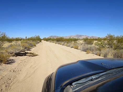 Graded, but somewhat sandy road (view W) |
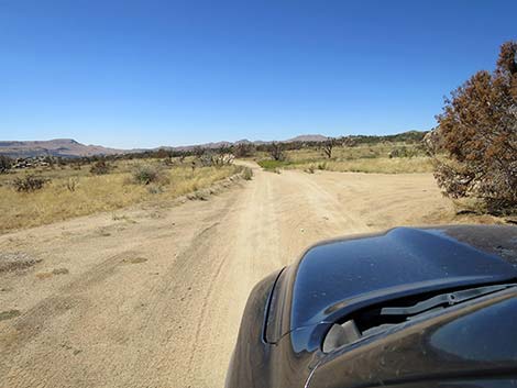
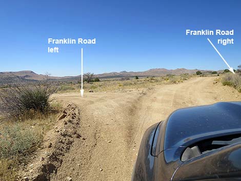
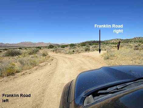
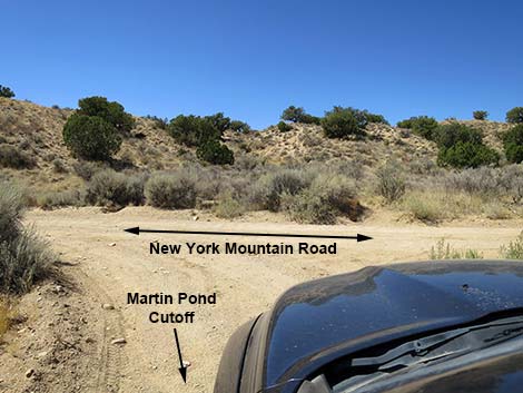
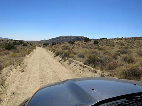
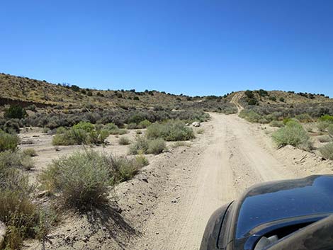
At about 6.6 miles out, New York Mountain Road curves left to head south until bending right (7.1 miles out) to resume the westward trek. Along this section (miles 6.6 to 7.5) the road follows the edge of the New York Mountains Wilderness Area. At about 7.5 miles out, New York Mountain Road passes a 4-way intersection with Franklin Road where fire fighters held the fireline on the road, and here New York Mountain Road passes out of the York Fire burn zone. New York Mountain Road continues west, and at about 8.0 miles out, reaches a fork. Here, New York Mountain Road stays right, but for drivers, the left (Martin Pond Cutoff) is the shorter way to go by half. Martin Pond Cutoff runs southwest into the bottom of a valley, where it pass to the right of Martin Pond, which normally is dry. Continuing southwest, Martin Pond Cutoff drips off a fairly steep hillside into a deeper valley. Crossing this valley, Martin Pond Cutoff ends at a T-intersection with New York Mountain Road (8.7 miles out). |
 New York Mountain Road entering the York Fire burn area (view W) |
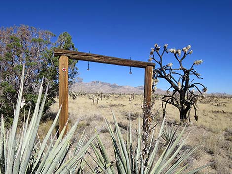
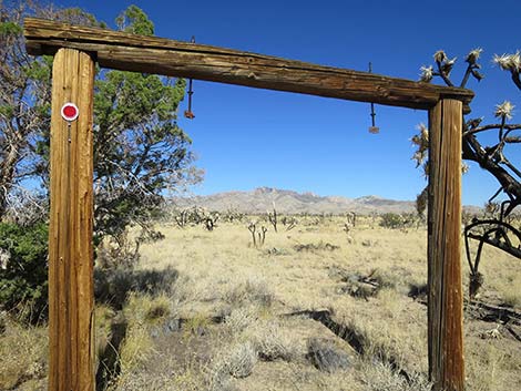
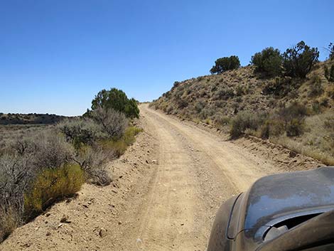
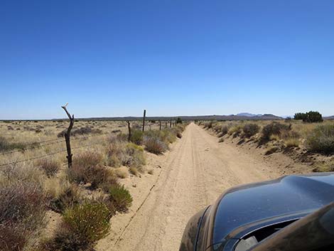
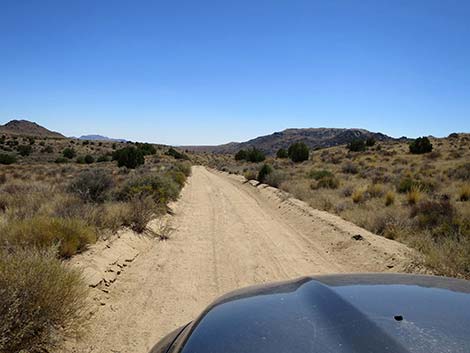
New York Mountain Road now runs south climbing steeply out of the valley bottom on a narrow road with short sight-lines. Atop the hill (8.8 miles out), a side road turns right, but New York Mountain Road continues south. At about 9.3 miles out, New York Mountain Road passes a ranch road to the left. At about 9.8 miles out, New York Mountain Road passes a ranch road to the right, and just past this road, on the west side of the road, New York Mountain Road again runs along the edge of the New York Mountains Wilderness Area, but just for about 0.1 miles. New York Mountain Road now bends slightly left to runs southeast through ranching country. Drivers will pass cattle guards, follow along fencing, and see various ranch structures. |
 New York Mountain Road in the York Fire burn area (view W) |
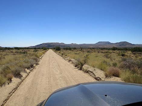
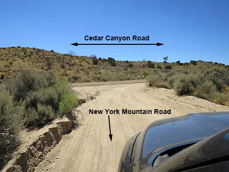
Passing out of the ranching area, at about 11.2 miles out, the road passes solar panels on the right edge of the road. Now continuing mostly south, the road runs along higher terrain until dropping down a canyon into valley bottoms below. The road bends right to cross a valley and two major washes that can be somewhat sandy. Just past the second wash crossing, New York Mountain Road bends left and climbs out of the washes to reach Cedar Canyon Road (12 miles out). Cedar Canyon Road runs left back to Ivanpah Road, or right towards Kelso and the central portions of Mojave National Preserve. |
 New York Mountain Road in the York Fire burn area (view W) |
 New York Mountain Road in the York Fire burn area (view W) |
 Approaching a Ranch sign along the road (view W) |
 Ranch sign along the road (view NW) |
 That's my kind of sign! (view NW) |
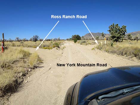 New York Mountain Road at Ross Ranch Road (view W) |
 New York Mountain Road in the York Fire burn area (view W) |
 Side road merges from the right (view W) |
 New York Mtn Rd approaching Caruthers Canyon Road (view W) |
 New York Mountain Road at Caruthers Canyon Road (view W) |
 Caruthers Canyon Road (view N from New York Mountain Road) |
 Little-used Caruthers Canyon Road (view S from New York Mtn Rd) |
 New York Mountain Road past Caruthers Canyon Road (view W) |
 New York Mountain Road (view W) |
 New York Mountain Road at a Side Road right (view W) |
 New York Mountain Road (view W) |
 New York Mountain Road at a Side Road right (view W) |
 New York Mountain Road with big views (view W) |
 New York Mountain Road (view W) |
 New York Mountain Road (view W) |
 New York Mountain Road (view W) |
 New York Mountain Road (view W) |
 New York Mountain Road at a 4-way intersection (road left; view W) |
 New York Mountain Road at a 4-way intersection (road right; view W) |
 New York Mountain Road (view W) |
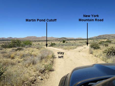 Technically, New York Mountain Road stays right (view W) |
 Martin Pond Cutoff Road is shorter to go left at the fork (view SW) |
 Martin Pond Cutoff Road approaching Martin Pond |
 Martin Pond Cutoff Road dropping off the hillside |
 Martin Pond Cutoff Road dropping to cross washes |
 Martin Pond Cutoff Road returning to New York Mtn Road (view W) |
 Martin Pond Cutoff Road at New York Mtn Road (view W) |
 New York Mountain Road climbing out of the washes (view S) |
 New York Mountain Road at crest of hill with side road (view S) |
 New York Mountain Road (view S) |
 New York Mountain Road (view S) |
 New York Mountain Road at ranch road (view S) |
 New York Mountain Road (view S) |
 New York Mountain Road at side road (view S) |
 New York Mountain Road (view S) |
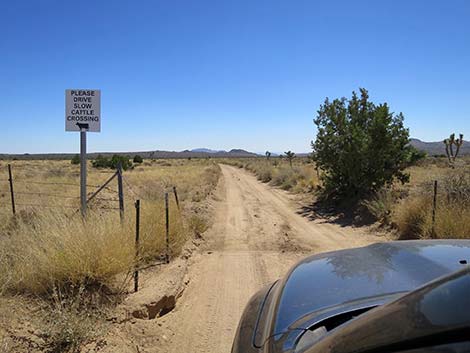 Sign: Please drive slow, cattle crossing (view S) |
 New York Mountain Road (view SE) |
 New York Mountain Road at a cattle guard (view SE) |
 New York Mountain Road (view S) |
 New York Mountain Road (view S) |
 New York Mountain Road starting down a canyon (view S) |
 New York Mountain Road exiting the canyon (view SW) |
 New York Mountain Road crossing valley bottom (view SW) |
 New York Mountain Road crossing a major wash (view S) |
 New York Mountain Road at Cedar Canyon Road (view S) |
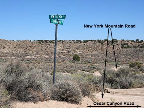 Street signs at the intersection (view NE) |
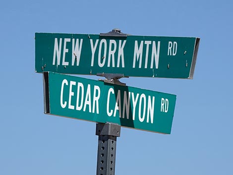 Signs: New York Mountain Road at Cedar Canyon Road |
Table 1. Highway Coordinates Based on GPS Data (NAD27; UTM Zone 11S). Download Highway GPS Waypoints (*.gpx) file.
| Wpt. | Location | Latitude (N) | Longitude (W) | Elevation (ft) | Point-to-Point Distance (mi) | Cumulative Distance (mi) |
|---|---|---|---|---|---|---|
| 1259 | Ivanpah Rd at NY Mts Rd | 35.20287 | 115.20181 | 4,280 | 0.00 | 00.00 |
| 1467 | NY Mtn Rd at Ross Ranch Rd | 35.21024 | 115.25508 | 4,895 | 3.09 | 03.09 |
| 1260 | NY Mts Rd at Caruthers Rd | 35.21739 | 115.29695 | 5,397 | 2.48 | 05.57 |
| 1458 | NY Mtn Rd at 4-Way Intersection | 35.20763 | 115.32237 | 5,314 | 1.97 | 07.54 |
| 1457 | NY Mtn Rd at at Fork | 35.20827 | 115.33094 | 5,289 | 0.49 | 08.03 |
| 1456 | NY Mtn Rd at T-intersection | 35.20503 | 115.34144 | 5,206 | 0.67 | 08.70 |
| 1455 | NY Mtn Rd at Fork | 35.20346 | 115.34106 | 5,233 | 0.12 | 08.82 |
| 1454 | NY Mtn Rd at Side Road | 35.18880 | 115.34012 | 5,137 | 1.02 | 09.84 |
| 1450 | Cedar Cyn Rd at NY Mts Rd | 35.15714 | 115.33159 | 4,811 | 2.47 | 12.31 |
Happy Hiking! All distances, elevations, and other facts are approximate.
![]() ; Last updated 241009
; Last updated 241009
| Backroads | Hiking Around Mojave Preserve | Hiking Around Las Vegas | Glossary | Copyright, Conditions, Disclaimer | Home |