Cedar Canyon Road east to Caruthers Canyon Road and Ivanpah Road
Hiking Around Las Vegas, Mojave National Preserve
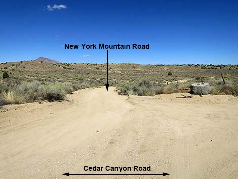
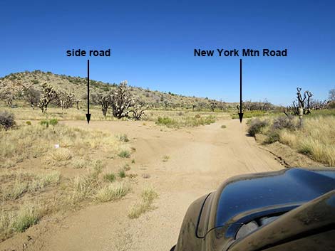
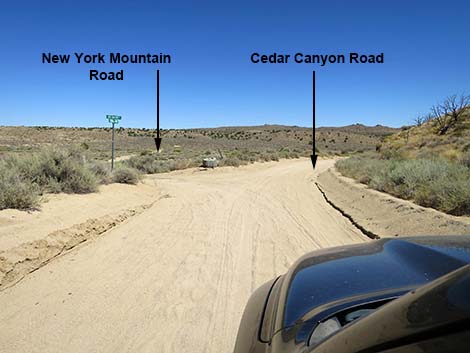 Cedar Canyon Rd at New York Mtn Road (view E) |
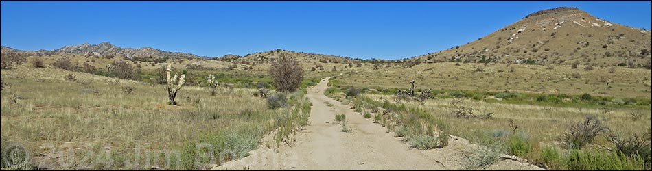
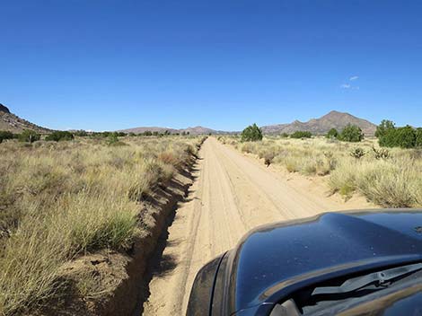
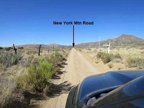
Overview New York Mountain Road is a graded dirt road in Mojave National Preserve that connects Ivanpah Road with Cedar Canyon Road, a distance of about 12 miles. The road can be a bit sandy and washed out, but normally it is a reasonably well maintained road. Initially, the road runs north across well-vegetated high desert flats with scattered Utah Juniper trees, a few cattle, and ever improving views of the New York Mountains. Eventually, the road turns east to run across rolling terrain in the foothills of the New York Mountains. In this area, the 2023 York Fire burned some 93,000 acres. Most of the trees, shrubs, and Joshua Trees are gone, but native bunchgrasses are growing back. This road provides access to north-central portions of the Mojave National Preserve, and in particular it is used for access to the Caruthers Canyon recreational sites in the New York Mountains. Link to map. |
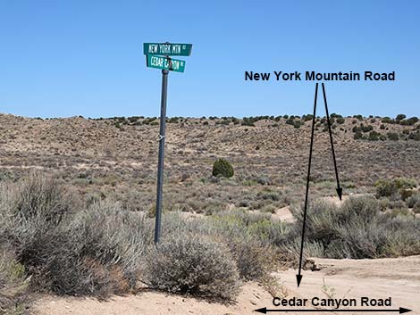 Street signs: Cedar Canyon Rd and New York Mtn Road (view NE) |
Watch Out Other than the standard warnings about the desert, ... New York Mountain Road is safe and should be passable in a sedan, but it is not as well maintained as the main dirt roads in the area (e.g., Ivanpah Road and Cedar Canyon Road). There is some sand, but are no unusual hazards, and under normal conditions the road should be passable in a 2WD-HC vehicle. Without a high-clearance vehicle, inquire locally about road conditions. While out in the desert, please respect the land and the other people out there, and try to Leave No Trace of your passage. Also, the area is remote, so be sure to bring the 10 Essentials. |
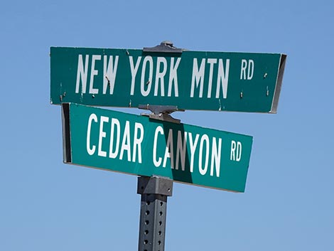 Street signs: Cedar Canyon Rd and New York Mtn Road (view NE) |
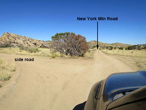
Getting to the Road This road is located in California, about 2 hours south of Las Vegas. From town, drive out toward Kelso Depot in Mojave National Preserve. From the paved Kelso-Cima road between Cima and Kelso, turn east onto the partially paved Cedar Canyon Road and drive 11.2 miles to a T-intersection with New York Mountain Road (Table 1, Site 1450), on the left. This point can also be reached by driving south into the preserve on Ivanpah Road to Cedar Canyon Road, then driving west on Cedar Canyon Road 9.9 miles to New York Mountain Road. |
 New York Mtn Road (view NE from Cedar Canyon Rd) |
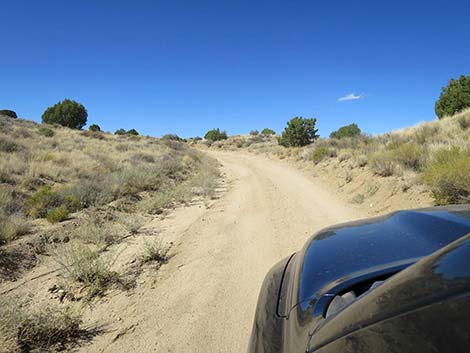
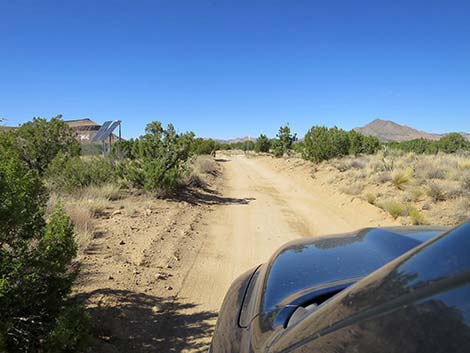
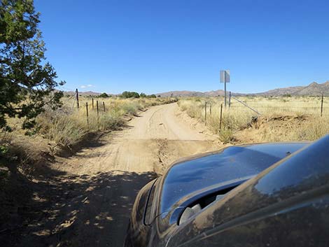
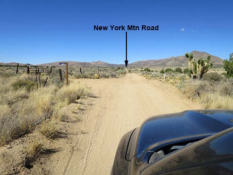
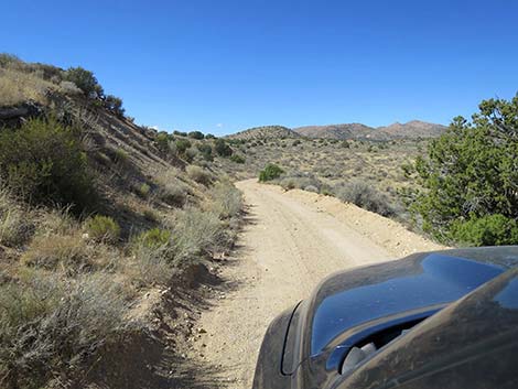
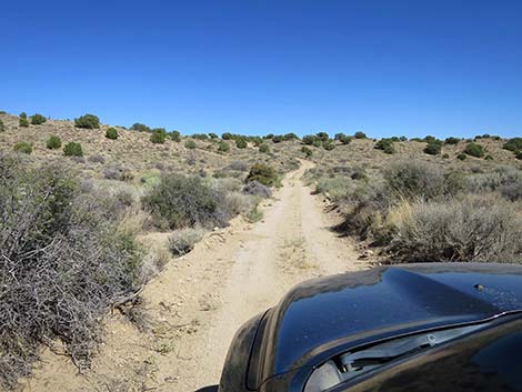
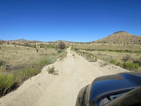
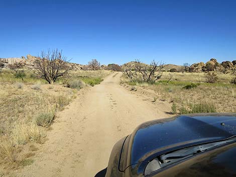
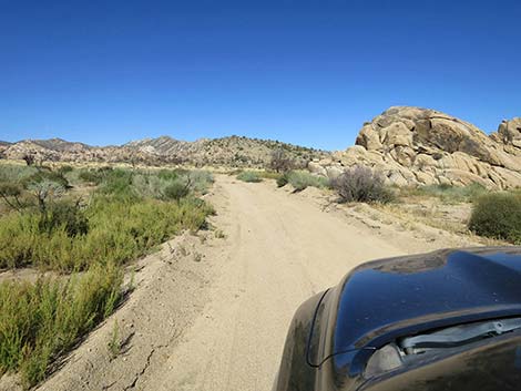
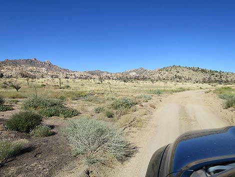
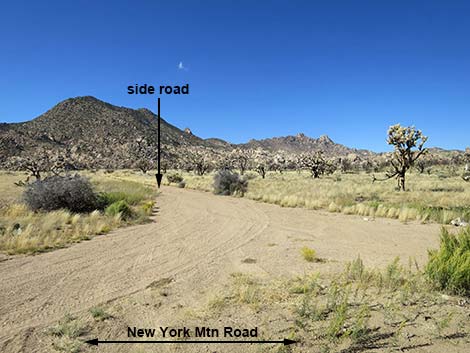
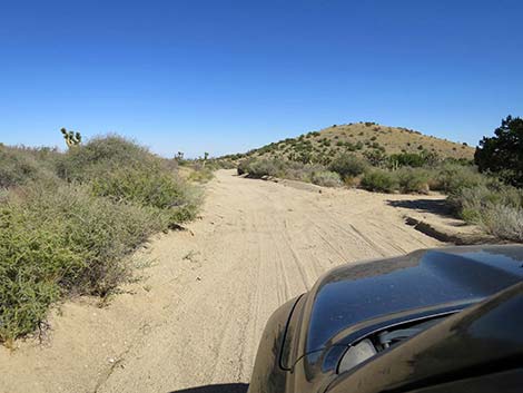
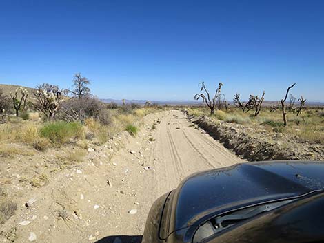
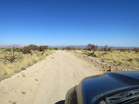
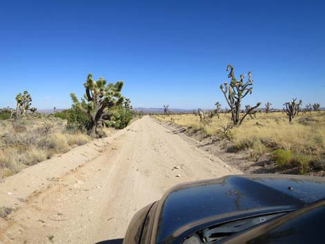
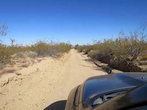
The Road Overall, from Cedar Canyon Road (Site 1450), New York Mountain Road runs north, then east 12.5 miles to a T-intersection with Ivanpah Road, but there are many details and a few bumps along the way. Departing Cedar Canyon Road, New York Mountain Road runs northeast to cross two broad, sandy washes that can be a bit washed out with soft sand. Across the washes, the road-base firms and remains firm with few concerns for several miles. New York Mountain Road climbs the far slopes generally heading northeast, then bends a bit to the left to head north with a view of Pinto Mountain ahead on the left and the New York Mountains in the distance to the right. In this area, New York Mountain Road traverses active ranch lands, and at about 1.1 miles out passes the rancher's solar panels (on the left) and a cattle guard and a sign asking drivers to watch for cattle. Shortly, a road left leads towards ranch buildings. |
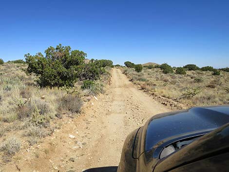
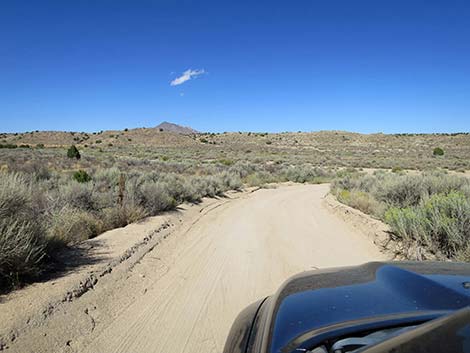 Departing Cedar Canyon Rd onto New York Mtn Road (view NE) |
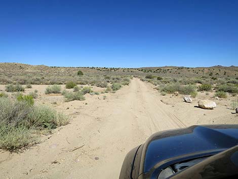
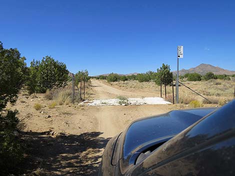
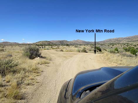
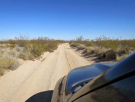
At about 1.9 miles out, New York Mountain Road crosses an old cattle guard and goes through a fence exiting the core of the ranch lands. New York Mountain Road continues northwest to touch the east base of Pinto Mountain (2.3 miles out), and at about 2.5 miles out, passes a T-intersection to the left with fencing and signs indicating private property. Now heading due north following the fence line, New York Mountain Road passes another ranch road to the right (3.0 miles out), then continues north until bending left at the edge of low bluffs. At about 3.5 miles out, New York Mountain Road forks. The left goes through the fence onto ranch lands, while the main road bends right and begins to descend across the steep hillside towards the wash below. The road narrows here, and the sight-lines are short. |
 New York Mtn Road crosses two washes (view ENE) |
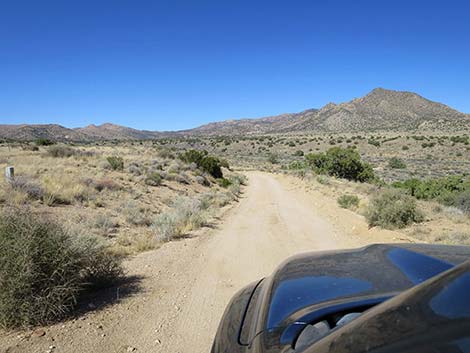
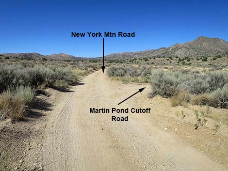
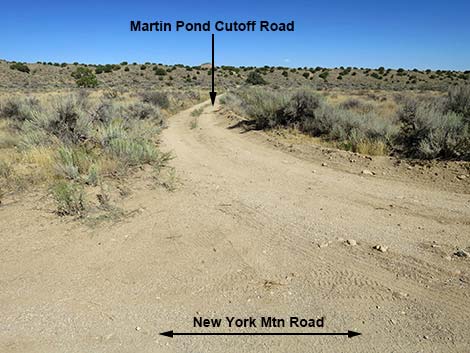
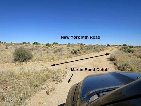
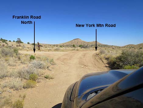
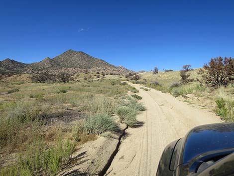
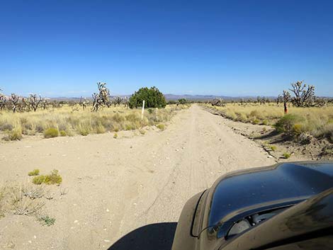
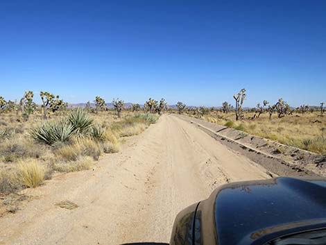
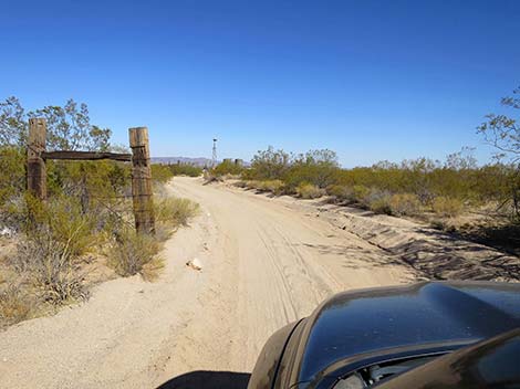
In the bottom of the wash, only 0.1 miles beyond the fork, a T-intersection (Site 1479) appears out of the thick brush on the right. Here, Martin Pond Cutoff Road branches to the right. New York Mountain Road continues straight (north) and eventually bends right and heads back south. Martin Pond Cutoff Road is a shortcut that runs about 0.6 miles between the two parts of New York Mountain Road saving about half of the distance. Turning right, Martin Pond Cutoff Road runs east to cross two broad washes, then northeast as it climbs steeply out of the wash to desert flats beyond. Martin Pond Cutoff Road passes a side road right and another left before passing Martin Pond, which normally is dry. It seems that the land here was cleared in the past, either by fire or ranch work. Finally, at about 4.3 miles out, Martin Pond Cutoff Road merges back into New York Mountain Road (Site 1480). Continuing east, New York Mountain Road crosses more heavily vegetated terrain until reaching a 4-way intersection with Franklin Road at about 4.8 miles out. |
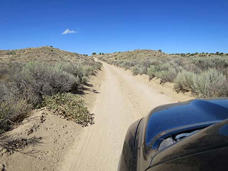 New York Mtn Road begins to climb into a shallow canyon (view NE) |
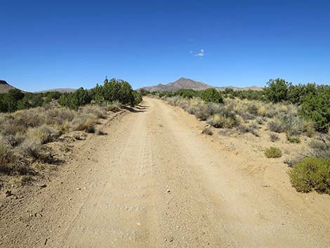
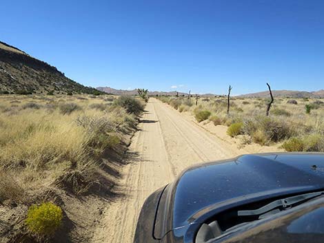
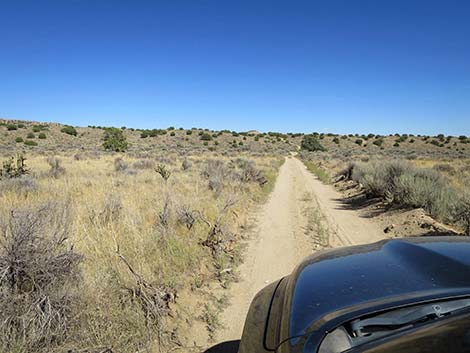
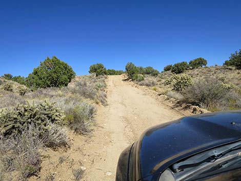
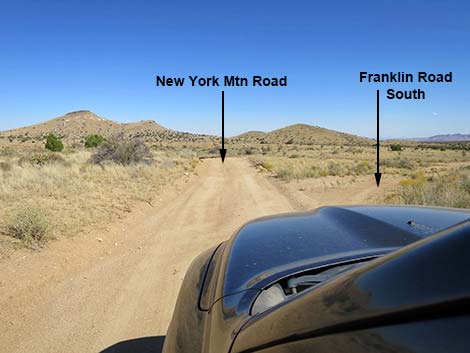
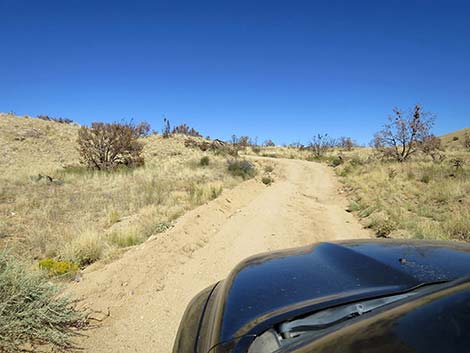
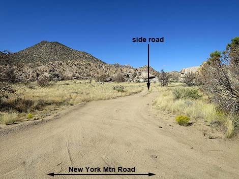
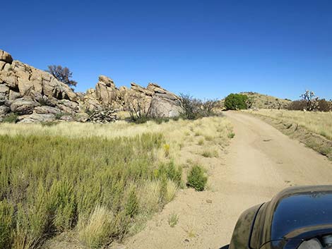
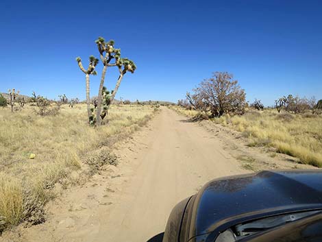
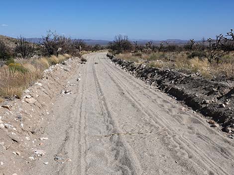
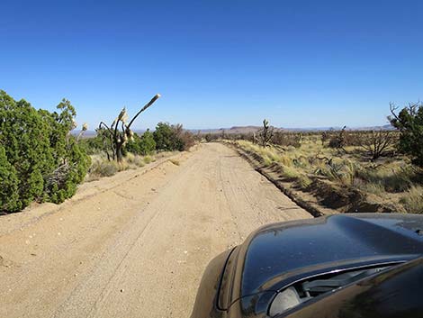
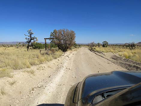
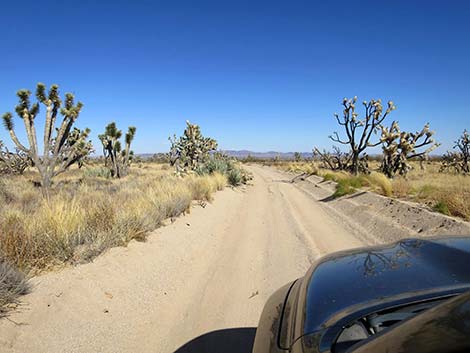
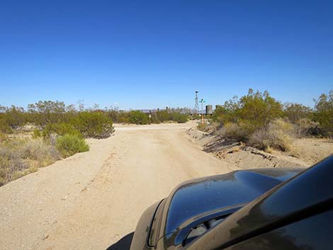
Passing Franklin Road, New York Mountain Road enters the 2023 York Fire burn zone. Fire fighters were able to use Franklin Road as fireline and held the fire here. The York Fire burned in a spotty pattern here, but from here to the east end of New York Mountain Road, evidence is everywhere. Continuing east, New York Mountain Road eventually bends southeast to avoid a low ridge, then bends back northeast and passes a minor side road at about 5.2 miles out. Here, New York Mountain Road bends left to head more northward into the hills. By about 5.7 miles out, New York Mountain Road is heading east again and passes between rocky outcrops. At about 5.8 miles out, the road passes a side road to the north that leads to campsite among the boulders. Similarly, at about 6.2 miles out, New York Mountain Road passes another side road to the north that leads to campsite among boulders. Old roads branch off to the south in this area that lead into an old mining operation, but those roads have mostly faded out. Although there are several side roads in this area, the main road always is obvious. |
 New York Mtn Road climbing through shallow canyon (view N) |
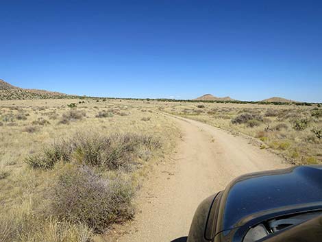
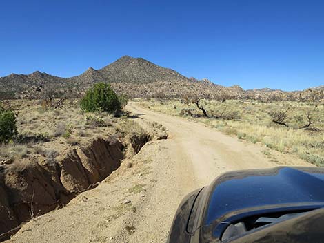
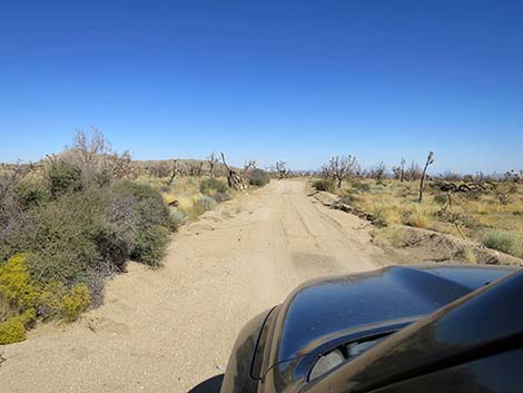
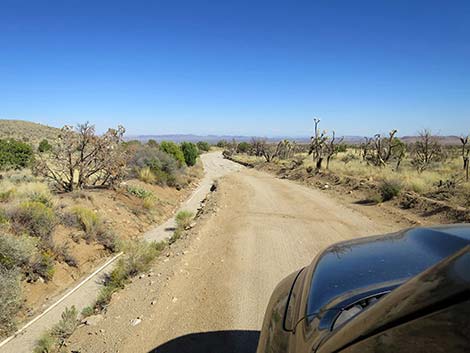
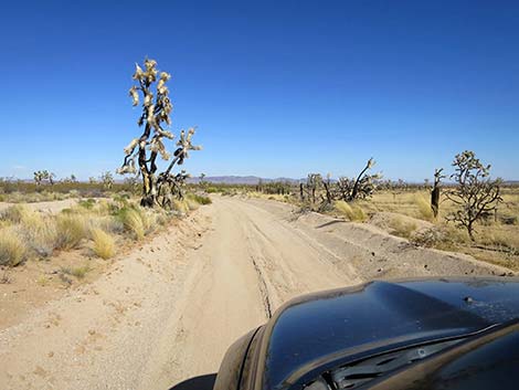
After winding through the rocky outcrops, New York Mountain Road runs out into open desert heading east and arrives at 4-way intersection with a major road, which is Caruthers Canyon Road (Site 1260; 6.8 miles out). The road north leads up Caruthers Canyon, a major recreational site in this area. At this point, drivers can turn left and head north into Caruthers Canyon, turn south and theoretically return to Cedar Canyon Road (the road looks little used), or continue straight on New York Mountain Road another 5.7 miles to Ivanpah Road. Continuing east, New York Mountain Road runs out to the edge of Caruthers Wash, then bends southeast to avoid the wash and the sand. In areas though here, the road is rather sandy, but the base is firm, and it is unlikely that drivers would get stuck. At about 7.5 miles out, New York Mountain Road bends right to run southeast and passes a minor side road that forks to the left. In this area, the effects of the 2023 York Fire, while still spotty, become more evident with large areas of Western Joshua Trees burned away. |
 New York Mtn Rd on desert flats above the shallow canyon (view E) |
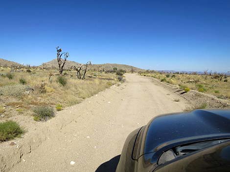
At about 9.2 miles out, New York Mountain Road reaches a 4-way intersection with Ross Ranch Road. A short distance farther (about 9.6 miles out), the road passes my favorite ranch sign, on the left partly behind a Utah Juniper tree in the eastbound view. Continuing southeast, at about 11.7 miles out, New York Mountain Road passes out of the York Fire burn area. After traveling through the burn zone for 7 miles, it is nice to see that Joshua Trees and other native vegetation survives somewhere. Running southeast, New York Mountain Road bends left to pass through an old fenceline and finally comes to an end (12.2 miles out) at an intersection with Ivanpah Road (Wpt. 1259). Here, drives can turn left towards I-15 and Las Vegas or turn right towards Goffs and I-40. Straight across the road the National Preserve folks are rehabilitating the XO Ranch, but it isn't yet ready for prime time. |
 New York Mtn Road approaching ranching solar panels (view N) |
 New York Mtn Road at a cattle guard with sign (view N) |
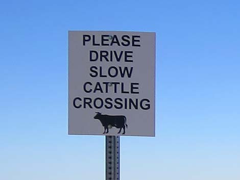 Sign: Please drive slow, cattle crossing (view N) |
 New York Mtn Road (view N) |
 New York Mtn Road at an old cattle guard (view N) |
 New York Mtn Road approaching the toe of Pinto Mountain (view NW) |
 New York Mtn Road at a ranch road left (view N) |
 New York Mtn Road at a ranch road right (view N) |
 New York Mtn Road at a ranch road left; stay right (view N) |
 New York Mtn Road starting down a steep hillside (view NE) |
 New York Mtn Road nearing bottom of steep hillside (view NW) |
 New York Mtn Road at Martin Pond Cutoff Road (view N) |
 Martin Pond Cutoff Road (view E from New York Mtn Road) |
 Martin Pond Cutoff Road crossing washes (view E) |
 Martin Pond Cutoff Road approaching a steep hillside (view E) |
 Martin Pond Cutoff Road climbing steep hillside (view WNE) |
 Martin Pond Cutoff Road on desert flats (view NE) |
 Martin Pond Cutoff Road returning to New York Mtn Road (view E) |
 New York Mtn Road (view ESE) |
 New York Mtn Road at Franklin Road left (view E) |
 New York Mtn Road at Franklin Road right (view E) |
 New York Mtn Road (view SE) |
 New York Mtn Road (view NE) |
 New York Mtn Road (view N) |
 New York Mtn Road (view E) |
 New York Mtn Road (view N) |
 New York Mtn Road (view E) |
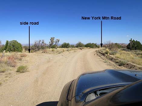
 New York Mtn Road at a side road left (view E) |
 Side road left (view N from New York Mtn Road) |
 New York Mtn Road (view E) |
 New York Mtn Road (view E) |
 New York Mtn Road (view NE) |
 New York Mtn Road at a side road left (view NE) |
 Side road left (view NW from New York Mtn Road) |
 New York Mtn Road (view SE) |
 New York Mtn Road (view E) |
 New York Mtn Road (view E) |
 New York Mtn Road (view E) |
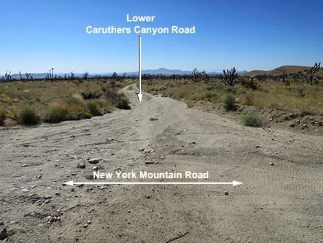
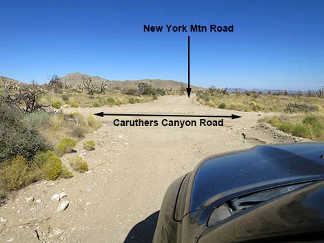 New York Mtn Road at Caruthers Canyon Road (view E) |
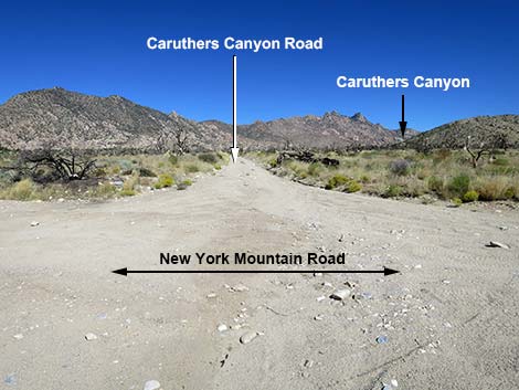 Caruthers Canyon Road (view N from New York Mountain Road) |
 Little-used Caruthers Canyon Road (view S from New York Mtn Rd) |
 New York Mtn Road (view E) |
 New York Mtn Road (view SE) |
 Always watch for little people in the road |
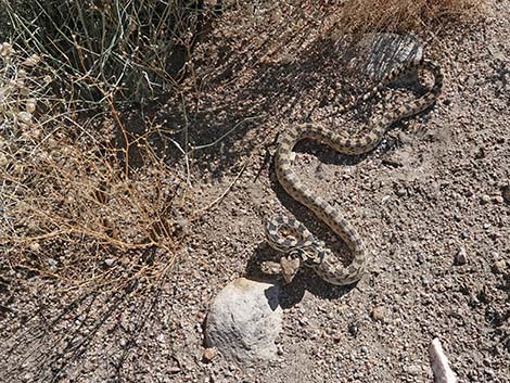 Gopher Snake off the side of the road |
 New York Mtn Road (view SE) |
 New York Mtn Road at a fork to the left (view E) |
 New York Mtn Road (view SE) |
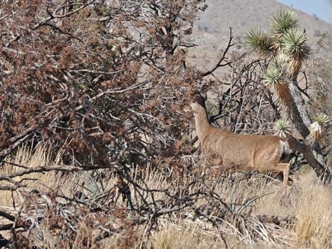 Keep an eye out for Mule Deer (view N) |
 New York Mtn Road (view E) |
 New York Mtn Road (view E) |
 New York Mountain Road at Ross Ranch Road (view E) |
 New York Mtn Road approaching ranch sign (view SE) |
 That's my kind of sign! (view NW) |
 New York Mtn Road (view E) |
 New York Mtn Road (view SE) |
 New York Mtn Road (view E) |
 New York Mtn Road (view E) |
 New York Mtn Road (view E) |
 New York Mtn Road (view SE) |
 New York Mtn Road (view E) |
 New York Mtn Road approaching Ivanpah Road (view E) |
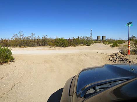 New York Mtn Road ends at Ivanpah Road (view E) |
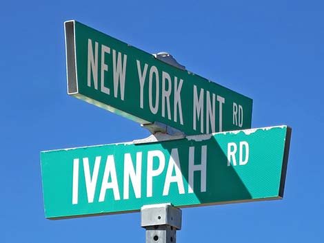 Road sign: New York Mtn Road and Ivanpah Road |
Table 1. Highway Coordinates Based on GPS Data (NAD27; UTM Zone 11S). Download Highway GPS Waypoints (*.gpx) file.
| Wpt. | Location | Latitude (N) | Longitude (W) | Elevation (ft) | Point-to-Point Distance (mi) | Cumulative Distance (mi) |
|---|---|---|---|---|---|---|
| 1450 | Cedar Cyn Rd at NY Mts Rd | 35.15714 | 115.33159 | 4,811 | 0.00 | 00.00 |
| 1454 | NY Mtn Rd at Side Road | 35.18880 | 115.34012 | 5,137 | 2.47 | 02.47 |
| 1455 | NY Mtn Rd at Fork | 35.20346 | 115.34106 | 5,233 | 1.02 | 03.49 |
| 1456 | NY Mtn Rd at T-intersection | 35.20503 | 115.34144 | 5,206 | 0.12 | 03.61 |
| 1457 | NY Mtn Rd at at Fork | 35.20827 | 115.33094 | 5,289 | 0.67 | 04.28 |
| 1458 | NY Mtn Rd at 4-Way Intersection | 35.20763 | 115.32237 | 5,314 | 0.49 | 04.77 |
| 1260 | NY Mts Rd at Caruthers Rd | 35.21739 | 115.29695 | 5,397 | 1.97 | 06.74 |
| 1467 | NY Mtn Rd at Ross Ranch Rd | 35.21024 | 115.25508 | 4,895 | 2.48 | 09.22 |
| 1259 | Ivanpah Rd at NY Mts Rd | 35.20287 | 115.20181 | 4,280 | 3.09 | 12.31 |
Happy Hiking! All distances, elevations, and other facts are approximate.
![]() ; Last updated 241009
; Last updated 241009
| Backroads | Hiking Around Mojave Preserve | Hiking Around Las Vegas | Glossary | Copyright, Conditions, Disclaimer | Home |