Backroads Around Las Vegas, Mojave National Preserve
 Amboy Crater (view W from Route 66) |
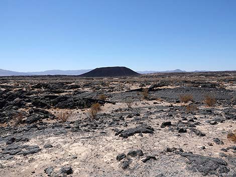
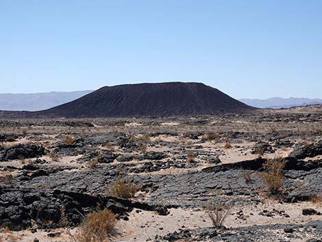
Overview Amboy Crater Road, or more properly "Crater Road," is a 0.5-mile, paved road that provides access to the Amboy Crater Picnic Area, Amboy Crater Overlook, and the Amboy Crater Trail. Amboy Crater is a volcano that last erupted about 10,000 years ago, not even the blink of an eye in geologic terms. The parking area ends on the edge of a lava flow, and visitors can walk around and explore. The lava flow shows little evidence of erosion, and therefore looks like it might have solidified only last week. Windblown sand covers some areas and there are some plants, but much of the lava looks "fresh." Amboy Crater is located just outside Mojave National Preserve and is not administered by the National Park Service. Rather, this area is administered by the BLM as Amboy Crater National Natural Landmark (PDF). Link to map. |
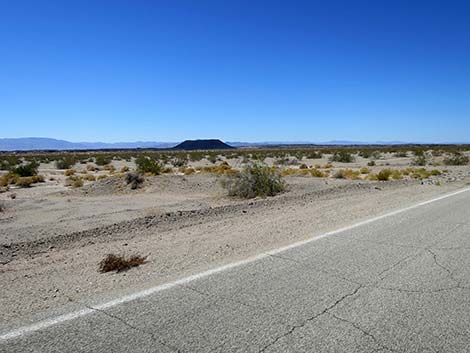
 Route 66 approaching Amboy Crater Road (view NW) |
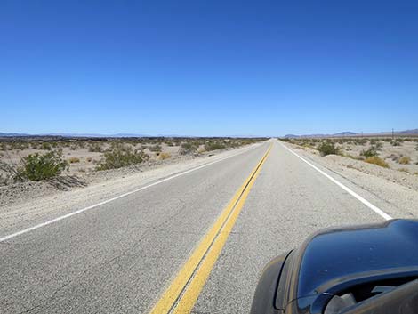
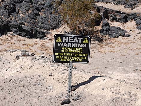
Watch Out Other than the standard warnings about being in the desert, ... the road is paved and suitable for 2WD-HC vehicles without unusual hazards, but it is subject to washouts during flashfloods. Looking at the tire marks on the pavement, drivers might want to watch out for idiots doing donuts in the parking lot too. While out in the desert, please respect the land and the other people out there, and try to Leave No Trace of your passage. Also, even though the road is short, the area is remote, so be sure to bring the 10 Essentials. |
 Route 66 approaching Amboy Crater Road (view NW) |
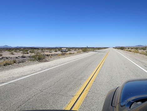
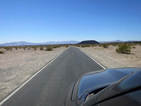
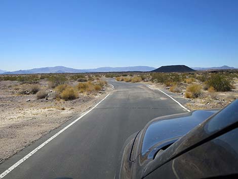
Getting to the Road Amboy Crater Road is located south of Mojave National Preserve, about 2-1/2 hours south of Las Vegas. From town, drive out to the Mojave National Preserve Visitor Center at Kelso, California. From the Visitor Center, continue south on Kelbaker Road. Drive over the mountains, exit the National Preserve, and continue south under Interstate 40. From the interstate, drive due south 11.5 miles to a T-intersection with National Trails Highway, also known as Historic Route 66. At Route 66, turn right and drive west through the "town" of Amboy and crossing over the railroad tracks. After crossing the railroad tracks, Route 66 passes Amboy Road (to 29 Palms) on the left. In another 1.1 miles, Route 66 arrives at Amboy Crater Road, on the left. |
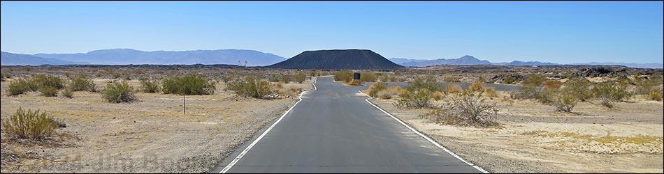
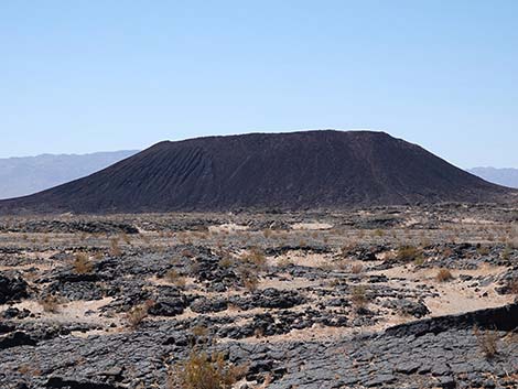
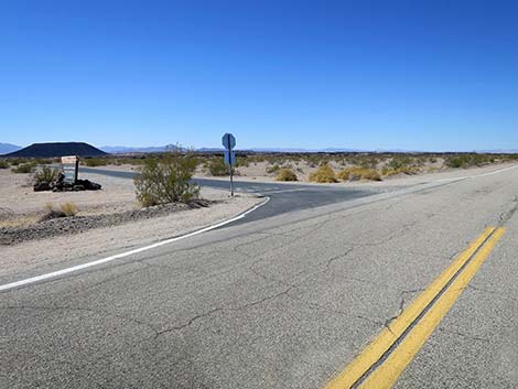 Route 66 at Amboy Crater Road (view W) |
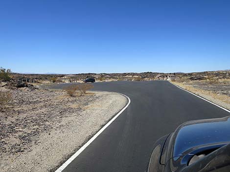
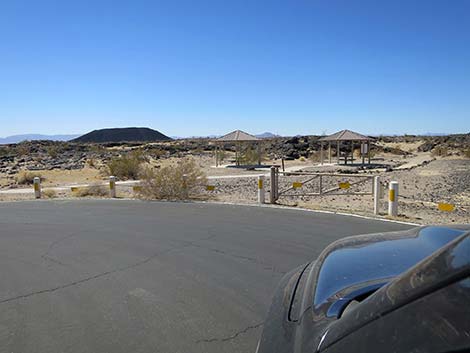
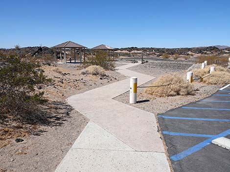
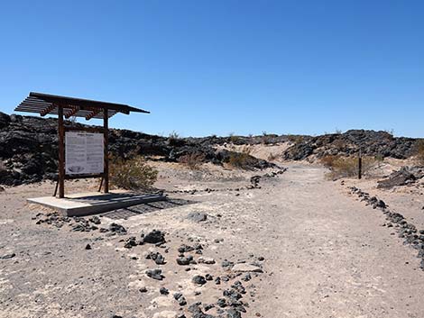
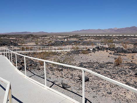
The Road From Route 66 at Amboy Crater Road (Table 1, Site 1755), Crater Road heads south directly towards Amboy Crater. The road passes a large parking area on the right (overflow and overnight parking), then bends to the right. At about 0.5 miles from Route 66, Crater Road ends at a large parking area (Site 1756) with covered and uncovered picnic tables, vault toilets, and an elevated overlook. This is also the trailhead parking for the hike up Amboy Crater. |
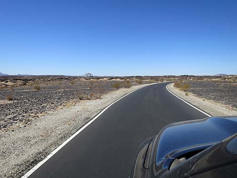
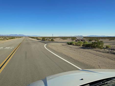 Route 66 approaching Amboy Crater Road (view SE) |
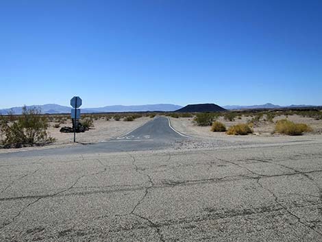 Amboy Crater Road (view SW from Route 66) |
 Amboy Crater entrance sign (view SE) |
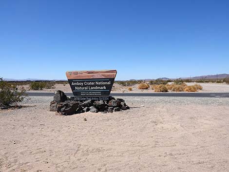 Amboy Crater entrance sign (view NW) |
 Amboy Crater entrance sign (view NW) |
 Amboy Crater Road departing Route 66 (view SW) |
 Amboy Crater Road (view SW) |
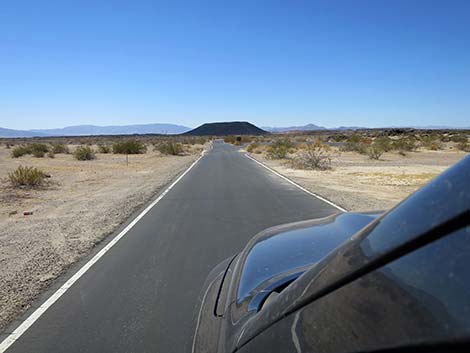 Amboy Crater Road (view SW) |
 Amboy Crater Road approaching overnight parking area (view SW) |
 Sign at entrance to overnight parking area (view SW) |
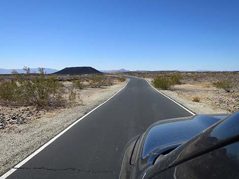 Amboy Crater Road (view SW) |
 Amboy Crater Road (view W) |
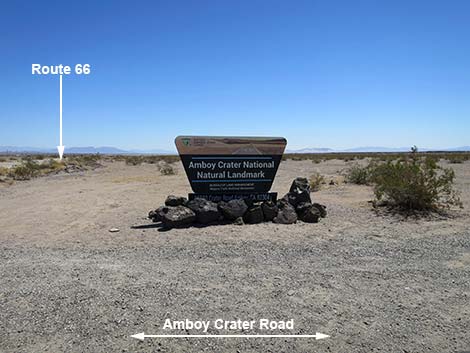
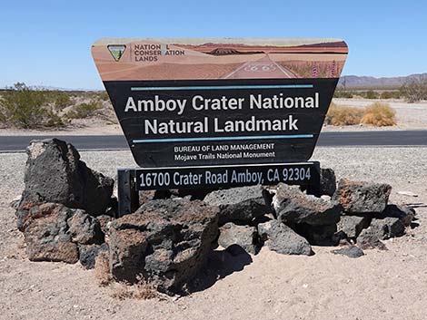
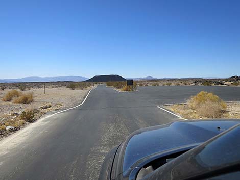
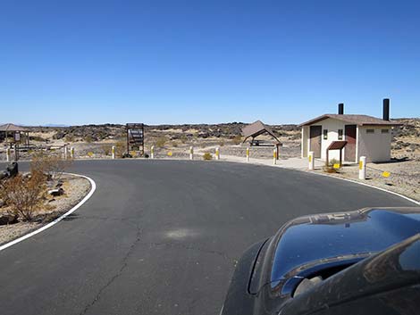
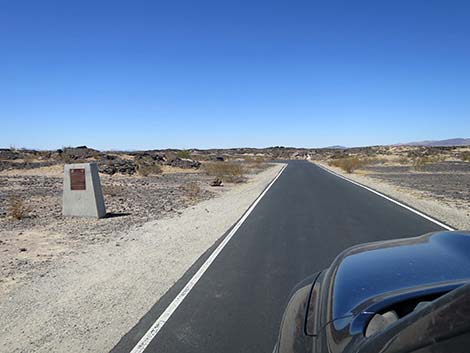 Approaching Amboy Crater National Natural Landmark monument |
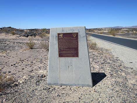 Amboy Crater National Natural Landmark monument (view WN) |
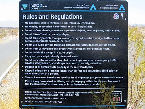
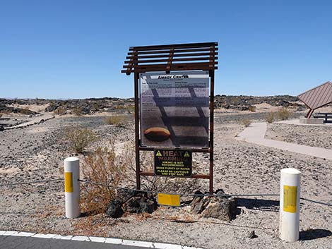
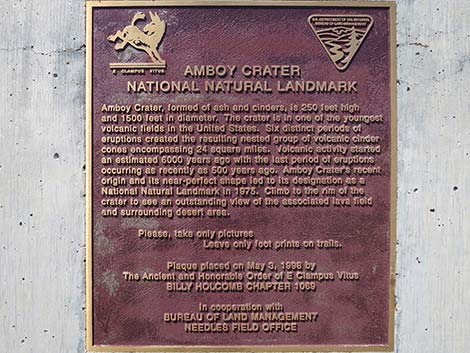 Text of Amboy Crater National Natural Landmark monument |
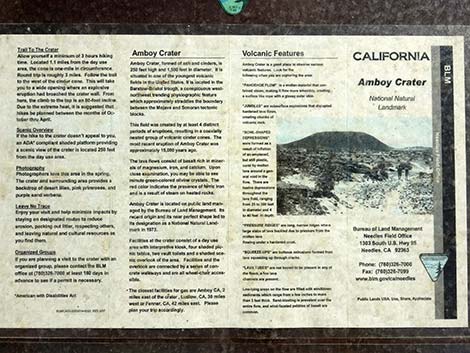
AMBOY CRATER NATIONAL NATURAL LANDMARK Amboy Crater, formed of ash and cinders, is 250 feet high and 1500 feet in diameter. The crater is in one of the youngest volcanic fields in the United States. Six distinct periods of eruptions created the resulting nested group of volcanic cinder cones encompassing 24 square miles. Volcanic activity started an estimated 6000 years ago with the last period of eruptions occurring as recently as 500 years ago. Amboy Crater’s recent origin and its near-perfect shape led to its designation as a National Natural Landmark in 1975. Climb to the rim of the crater to see an outstanding view of the associated lava field and surrounding desert area. Please, take only picures. Leave only foot prints on trails. Plaque placed on May 3, 1998 by In cooperation with |
 Amboy Crater Road entering the parking area (view NW) |
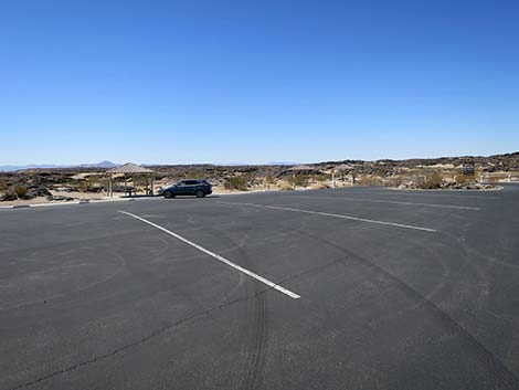 Amboy Crater parking area (view SW) |
 Amboy Crater parking area (view W) |
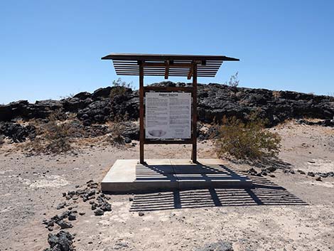
 Information sign (view W) |
 Picnic tables beyond end of Amboy Crater Road (view SW) |
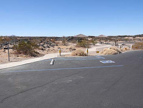 Amboy Crater parking area accessible parking stall (view W) |
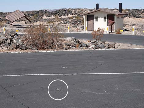 Watch for desert creatures in the parking lot (view NW) |
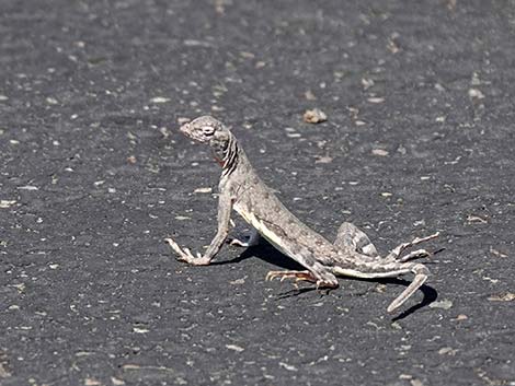 Zebra-tailed Lizard in the parking lot |
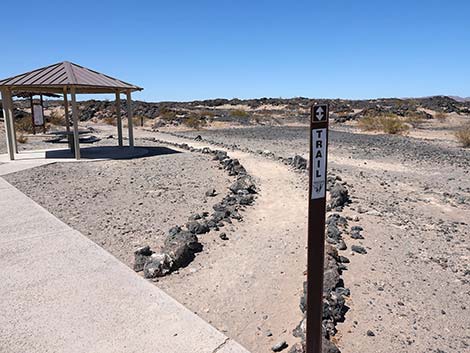
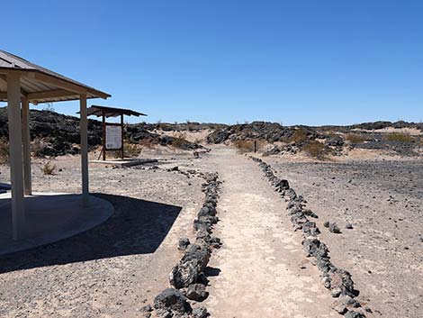
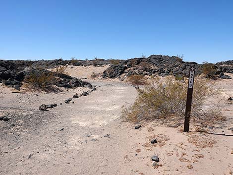
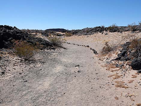
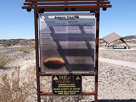
Amboy Crater Trailhead
 |
 |
 |
 |
 |
 |
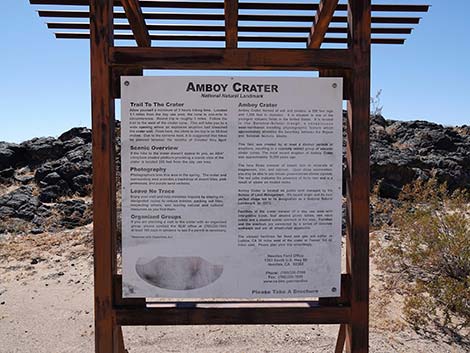 |
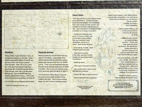
 Text on part of the information sign (everyone needs an editor) |
 |
 |
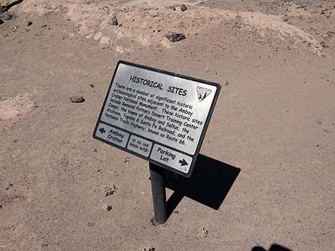 |
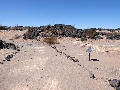
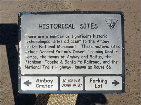 Historical Sites sign near start of Amboy Crater Trail (view N) |
 |
 |
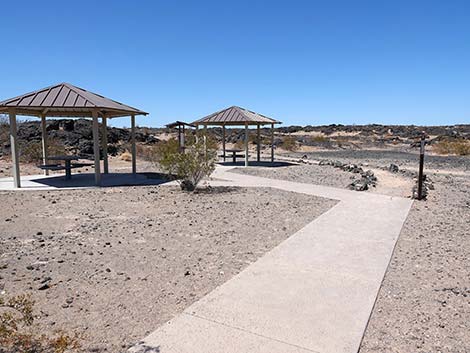
Amboy Crater Picnic Area
 Accessible trail and covered picnic table (view NW) |
 Accessible picnic table (view NW) |
Accessible trail and covered picnic tables (view W) |
 Vault Toilet and information sign (view NW) |
 Vault Toilet and information sign (view NW) |
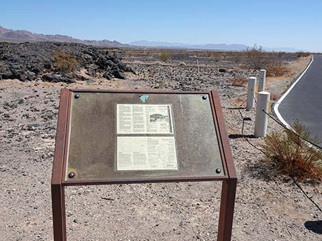 Information sign (view NW) |
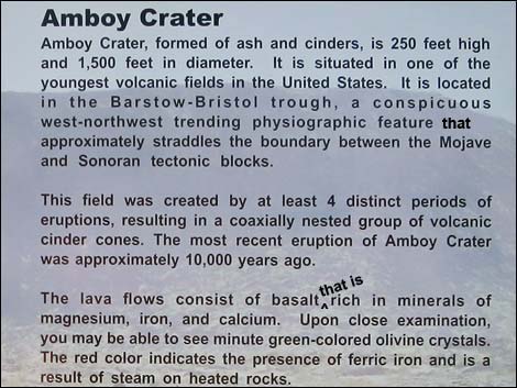
 Information on sign |
 Information on sign |
Information sign (view W) |
 Information sign (view W) |
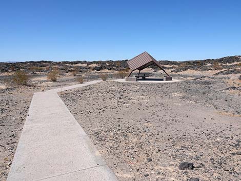
Amboy Crater Overlook
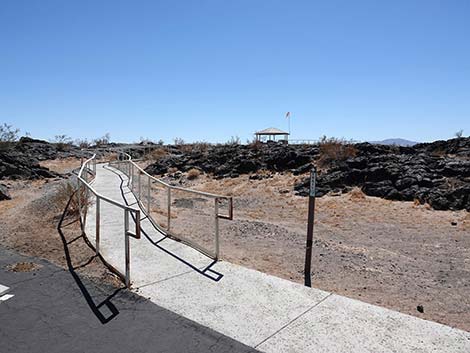 Accessible overlook trail departing the parking lot (view SE) |
 Overlook trail (view SE) |
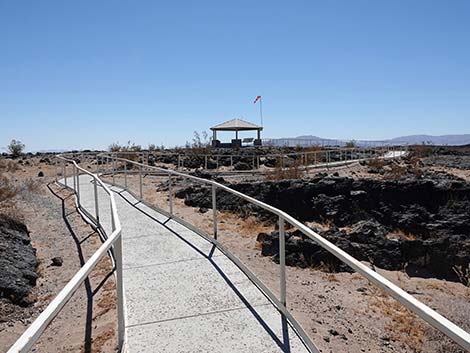
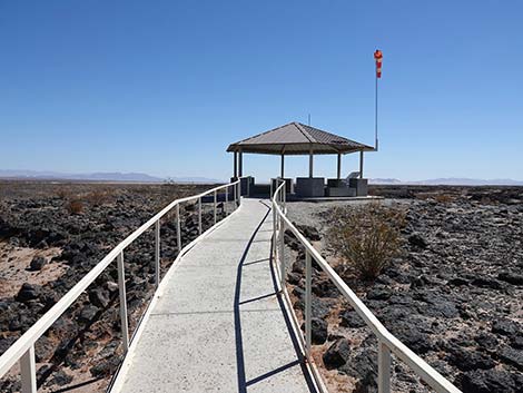 Overlook trail approaching the covered pavilion (view E) |
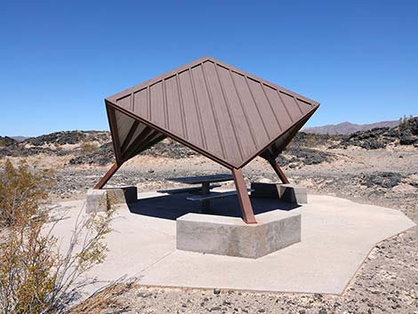
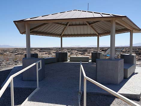 Covered pavilion (view E) |
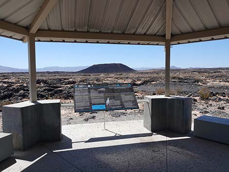 Covered pavilion with information sign (view SW) |
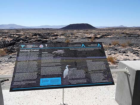 Information sign (view SW) |
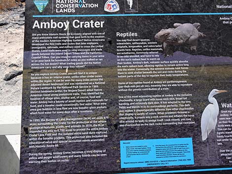 Information sign left side (view SW) |
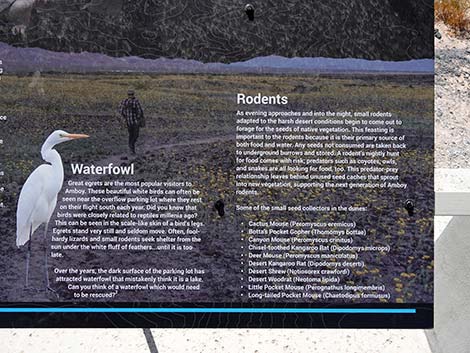 Information sign right side (view SW) |
 Amboy Crater and lava field (view SW) |
 Amboy Crater and lava field (view SW; zoom) |
 Amboy Crater and lava field (view SW; zoom-zoom) |
 Departing the overlook (view NW) |
Table 1. Highway Coordinates and Distances based on GPS Data (NAD27). Download Highway GPS Waypoints (gpx) file.
| Wpt. | Location | Latitude (N) | Longitude (W) | Elevation (ft) | Point-to-Point Distance (mi) | Cumulative Distance (mi) | Verified |
|---|---|---|---|---|---|---|---|
| 1755 | Route 66 at Amboy Crater Rd | 34.56032 | 115.77382 | 677 | 0.00 | 0.00 | Yes |
| 1756 | Amboy Crater Trailhead Parking | 34.55697 | 115.78043 | 645 | 0.53 | 0.53 | Yes |
Happy Hiking! All distances, elevations, and other facts are approximate.
![]() ; Last updated 241013
; Last updated 241013
| Backroads | Hiking Around Mojave Preserve | Hiking Around Las Vegas | Glossary | Copyright, Conditions, Disclaimer | Home |