Hiking Around Las Vegas, Mojave National Preserve
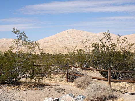
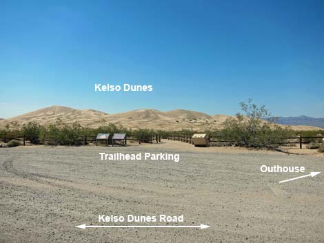 Kelso Dunes trailhead parking (view NW) |
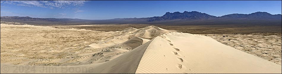
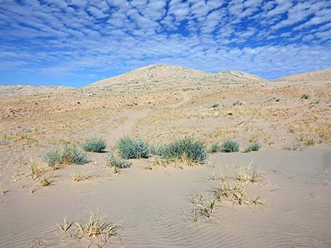
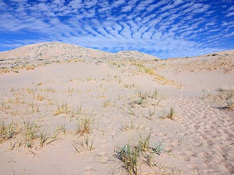
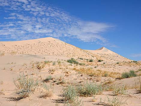
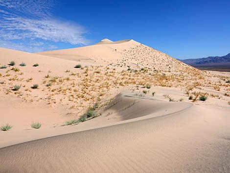
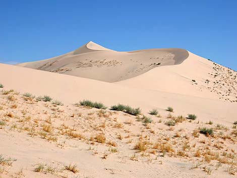
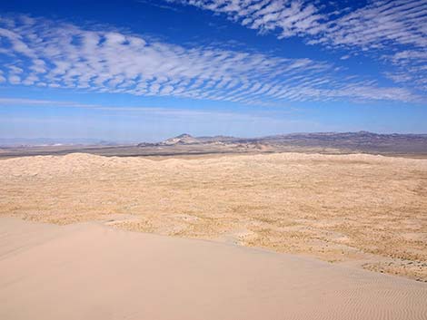
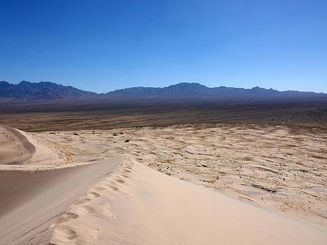
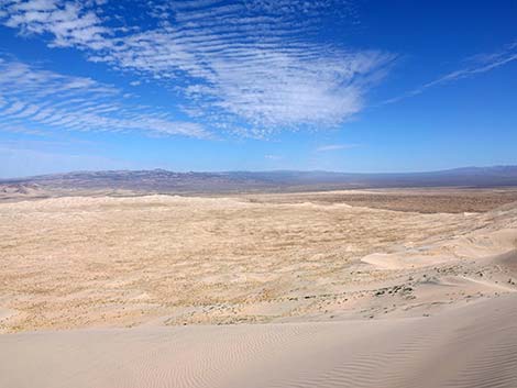
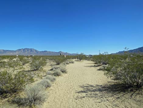
Overview The Kelso Dunes Trail is really just an unmarked route across open desert and sand that runs for about 1.5 miles to the top of the Kelso Dunes, which stand some 470 feet above the trailhead. The trail starts between fencing intended to protect trailhead vegetation, but after the first few minutes, the trail fades into the sand. Early on, there is a fairly well defined use-trail, but even that eventually fades into the drifting sands. The summit is always in view, and turning around, the trailhead usually is in view, so there is little chance of getting lost. Running down the steep south face of the tallest dune makes for a fun route back to the trailhead. The sand dunes spread across 45 square miles and rise to a height of about 650 feet above lands to the north. Link to map. |
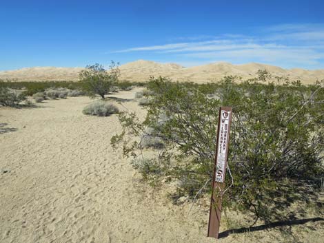
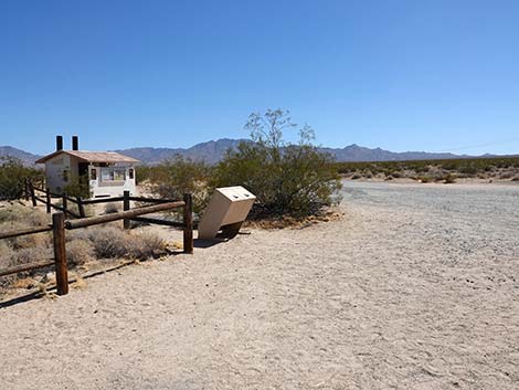
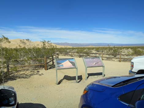 Trailhead information signs (view N) |
Watch Out Other than the standard warnings about hiking in the desert, ...this is a safe hike. Guard your eyes and camera equipment when the wind blows sand. While hiking, please respect the land and the other people out there, and try to Leave No Trace of your passage. Also, even though this is a short hike, be sure to bring what you need of the 10 Essentials. This hike goes into the Mojave Wilderness Area, so pay particular attention to respecting the land. |
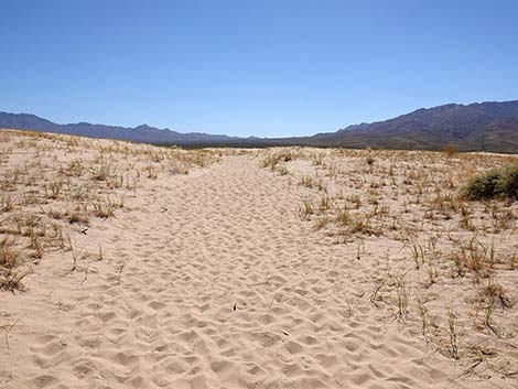
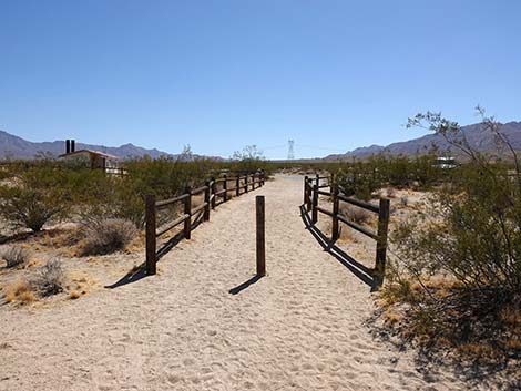
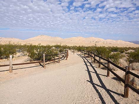 Fencing guides hikers onto the trail (view NW) |
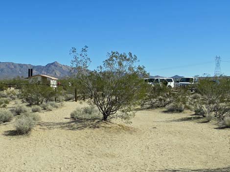
Getting to the Trailhead This hike is located in Mojave National Preserve, about 2 hours south of Las Vegas. From town, drive out to the Kelso Depot Visitor Center. In Kelso, turn left and drive south on Kelbaker Rd. Cross the railroad tracks and continue south for 7.8 miles (towards Interstate-40) to Kelso Dunes Road, which is just before some tin buildings on the right that can be seen from miles away. Turn right onto Kelso Dunes Road and drive west for 2.9 miles to a pullout with vault toilets, which is near the highest dunes. Park here; this is the trailhead. |
 End of the fencing (view NW) |
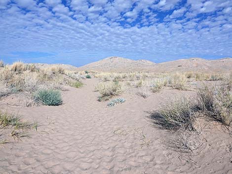
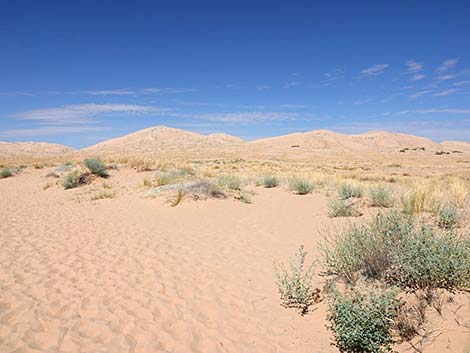
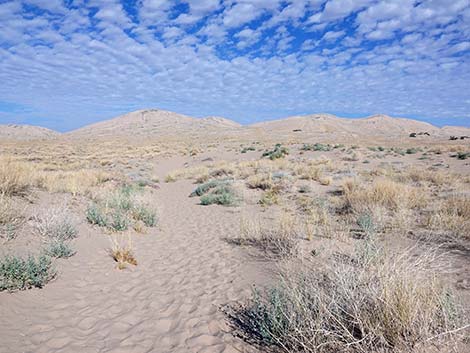
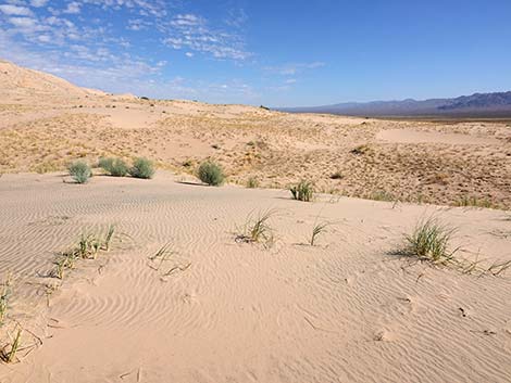
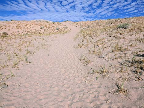
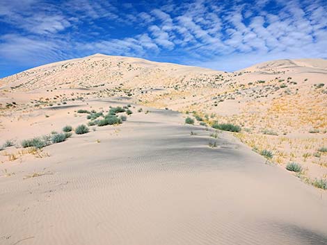
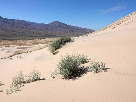
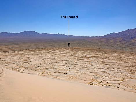
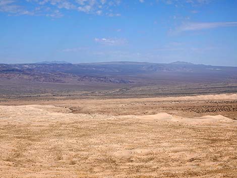
The Hike From the trailhead (Table 1, Waypoint 01), fencing guides hikers onto the trail, and beyond the fencing, the use-trail leads north towards the highest sand dunes. After 200 yards or so, there is no particular route, but many routes wander out into the sand. Try to avoid walking on the vegetation because it is hard enough for plants to live out here without getting trampled. The east ridge of the highest dune makes for a reasonable route to the summit. The route into the dunes starts out heading slightly downhill following the slope of the land. Through this area, the vegetation is typical of lower-elevation Mojave Desert: vast flats of Creosote Bush and White Bursage on coarse, sandy soils. After about 0.2 miles, the "trail" gets to the edge of the dune field (Wpt. 02), and the vegetation switches to species that can survive on the shifting sands: here bunchgrasses (Big Galleta Grass) and shrubs such as California Croton, Thurber's Sandpaper Plant, and Desert Twinbugs (Dicoria canescens) thrive. |
 Wilderness Area boundary marker along the trail (view NW) |
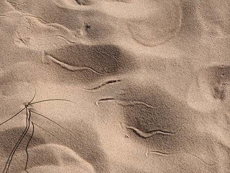
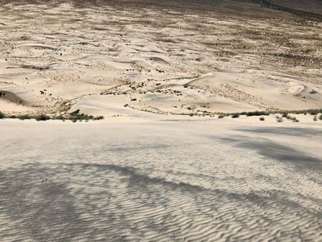
Out in the dunes (about 0.7 miles out; Wpt. 03), watch for footprints of animals that live on the sand. The 4-inch diameter burrows around the bushes are mostly dug by Desert Kangaroo Rats. These cute little rodents hop on their hind legs like kangaroos. They have long tails with a tuft of fur on the end that they use for balance. Watch for their tracks. When they are hopping along slowly, you will see pairs of side-by-side footprints with a mark where their tail drags in the sand. If hopping fast, they hold their tail in the air for balance, so there is no drag mark, and the paired footprints can be several feet apart. Black-tailed Jackrabbits also live on the sand. Watch for their tracks and scat around plants Lizards also make tail-drag marks, but their footprints are alternate rather than paired. Watch for the tracks of "sand swimmers" (Mojave Fringe-toed Lizards): lizard tracks that disappear into the sand when the lizards go underground. Bird prints can be paired, but they tend to alternate and never have a drag mark. Most birds have three toes pointed forward and one toe pointed backwards, but Greater Roadrunners have an X-shaped footprint. |
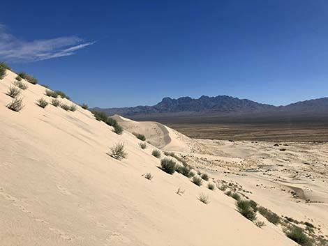
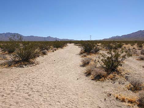
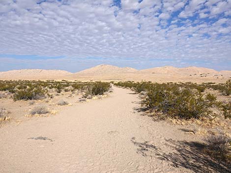 A broad, sandy trail descends through creosote flats (view NW) |
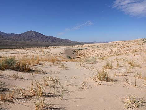
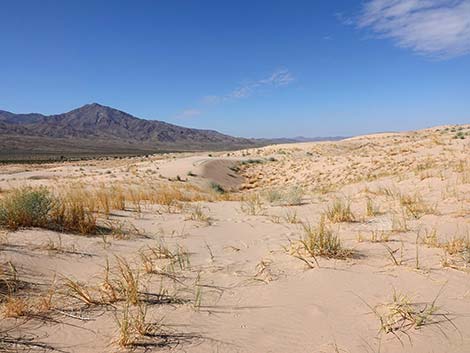
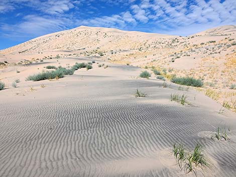
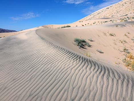
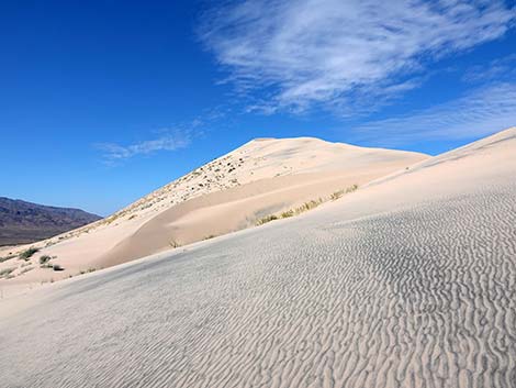
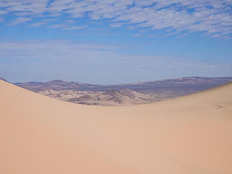
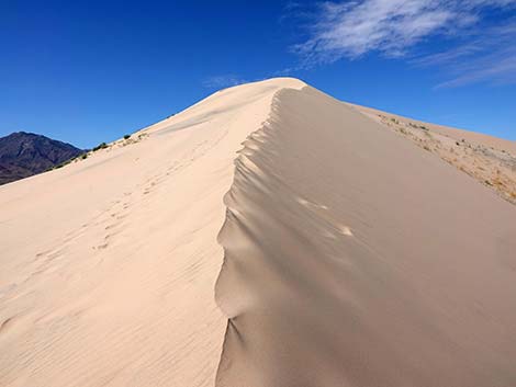
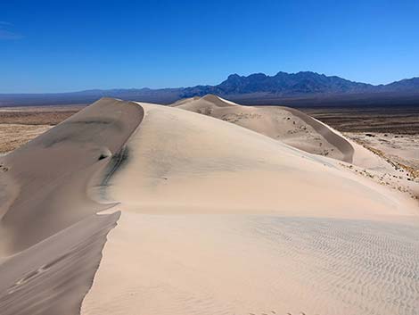
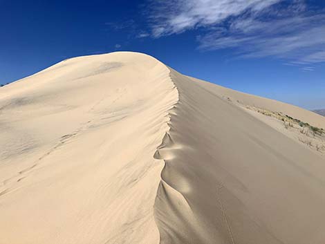
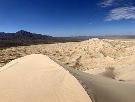
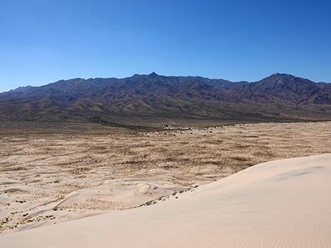
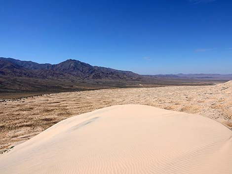
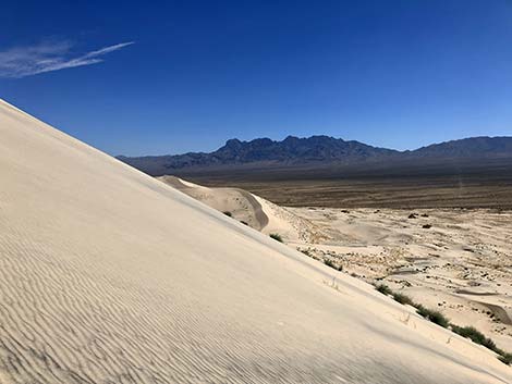
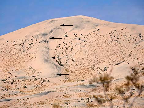
Snake tracks are seldom seen, but watch for lines of smoothed out sand with no footprints. If you are really lucky, you might find the disconnected, S-shaped tracks of a Sidewinder. If you follow the tracks and find the snake, don't try to pick it up. Most people who are bitten by rattlesnakes get that way because they tried to catch the snake, and the poor little frightened thing is just trying to defend itself from the monster. After another 0.4 miles, the dunes get steep. On the steep dunes, it is another 0.6 miles to the crest (Wpt. 04). Climbing to the crest of the dunes in the soft sand is hard enough, but the really hard part is hiking along the crest to the summit (Wpt. 05). Views from the summit are worth every effort. Off to the east are the steep and craggy Providence Mountains. To the south are the imposing Granite Mountains. To the west is the Devil's Playground where sand fields seem to go on forever. Return to the trailhead (Wpt. 01) by running and rolling down the steep south face of the tallest dune, then wander back among the dunes to the trailhead, which is always visible from high points in the dunefield. |
 At the low point, mud collects during rain storms |
 Past the low point, the trail climbs gradually |
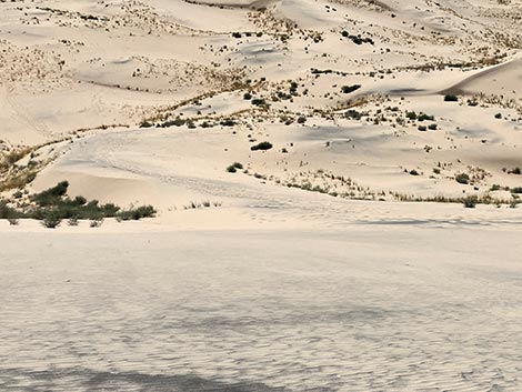
 Hikers can wander where they want in the loose sand (view NW) |
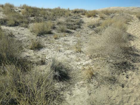
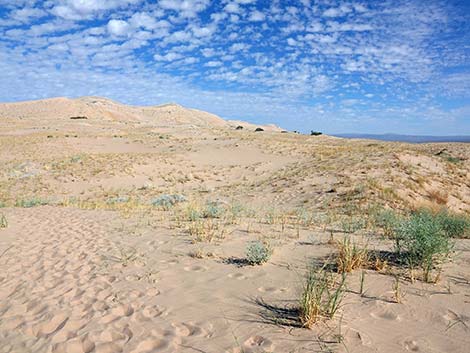
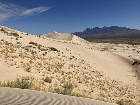
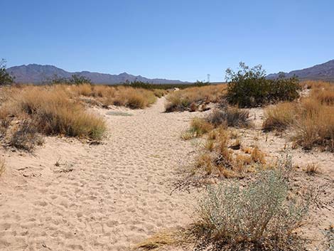
 Open, sandy area with grasses and shrubs (view NW) |
 |
 |
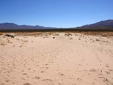
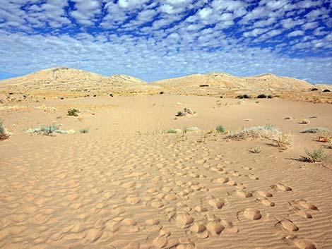 Lots of footprints, but no single route |
 Mojave Fringe-toed Lizard out on the dunes |
 Out on the dunes (view NE) |
 Out on the dunes (view NW) |
 Out on the dunes (view NW) |
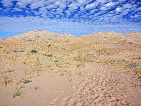
 Even out on the dunes, the use-trail is apparent (view NW) |
 |
 |
 |
 |
 Tracks from a young Sidewinder in the sand |
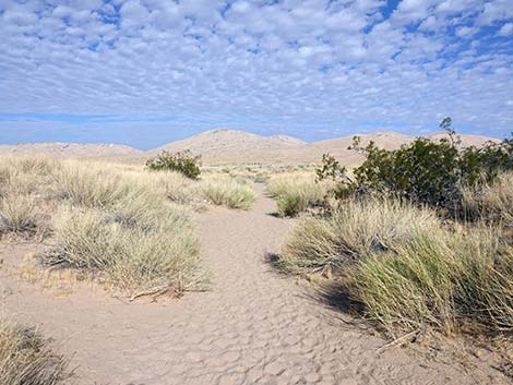
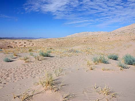
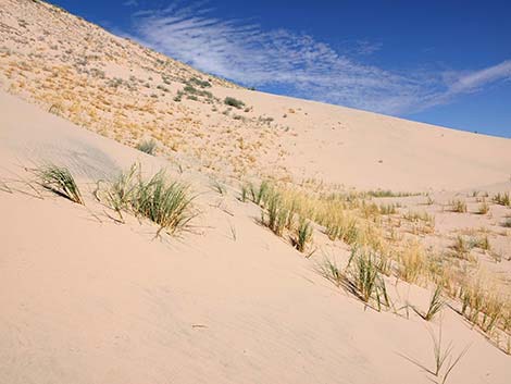
 Lots of grasses out on the dunes |
 Out on the dunes (view NE) |
 Out on the dunes (view NE) |
 Wind-swept ridgeline (view NW) |
 Wind created ripples in the sand (view NW) |
 Wind created ripples in the sand (view NW) |
 Getting closer to the crest of the dunes (view NE) |
 Even nearing the crest, the use-trail is apparent (view NW) |
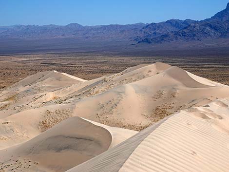
 Dunes to the right (view E) |
 It still looks a long ways to the summit (view W) |
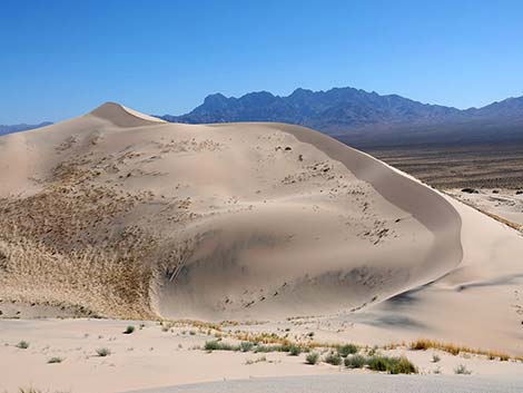
 The dune-slope is fairly seep (view W) |
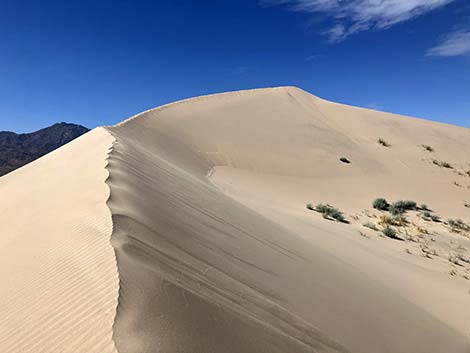
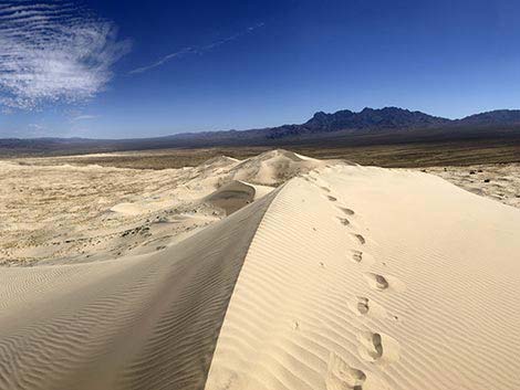
 Arriving at the crest of the dunes (view N) |
 Looking over the crest of the dunes (view N) |
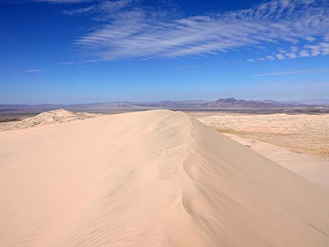
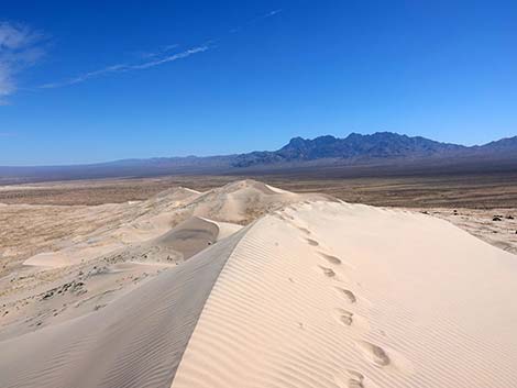
 Crest of the dunes looking forward (view W) |
 Crest of the dunes looking the other way (view E) |
 Crest of the dunes (view W) |
 Crest of the dunes; the summit comes into view (view SW) |
 Crest of the dunes approaching the summit (view W) |
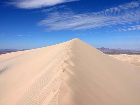
 Arriving atop the summit (view W) |
 Summit (view SW) |
 More to come ... |
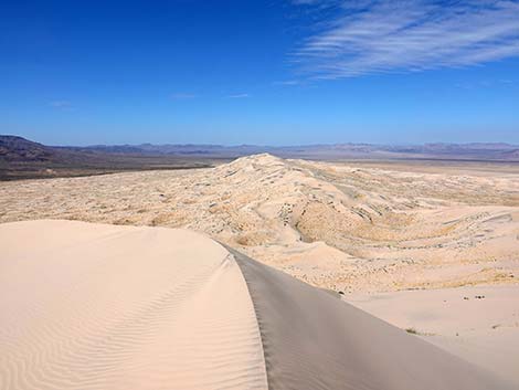
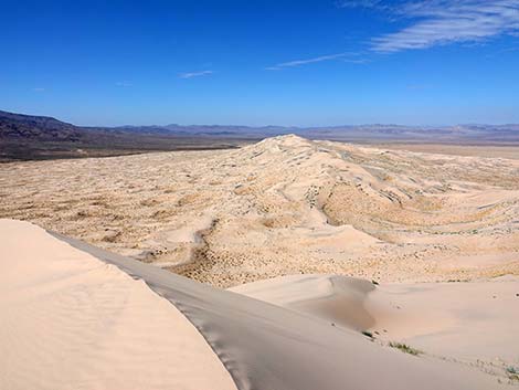
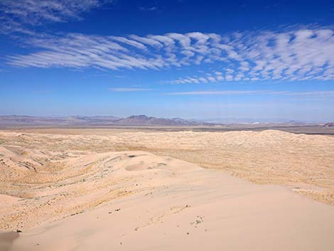
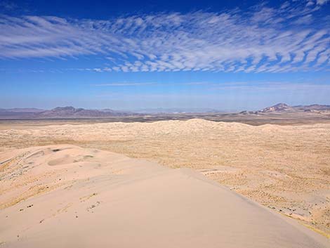
Kelso Dunes Trail - Summit and Near-Summit Views
 Summit with a few clouds (view NE) |
 Summit without clouds (view NE) |
Summit (view NE) |
 Summit (view NE) |
 Summit (view NE; zoom) |
 Summit (view NE; zoom) |
 Summit (view E) |
 Summit looking towards the trailhead (view SE) |
 Summit (view SSW) |
 Summit (view SW) |
 Summit (view SW) |
 Summit (view SW) |
 Summit (view W) |
 Summit (view NW) |
 Summit (view N) |
 Summit (view N) |
 Summit looking towards Cima Dome (view NNE) |
 Summit looking towards Cima Dome (view NNE; zoom) |
Kelso Dunes Trail - Return to the Trailhead
The trailhead is visible from any highpoint (view SE) |
 Starting over the south face of the summit (view W) |
 The dune slope is steep (view E) |
 Getting lower (view S) |
 Perhaps the dune slope is steeper with vegetation? |
 Looking back up the slope at my tracks (view N) |
 Lower down, there is more vegetation, and the slope lessens (view E) |
 Looking back up the slope at my tracks (view N) |
 Lower down, there is more vegetation, and the slope is steep (view W) |
 Getting lower (view SE) |
 Grassy slopes near the base of the main dunes (view E) |
 Back on "flat" ground (view SE) |
 The soft sand gets tiresome (view SE) |
 Closer to the trailhead, a better defined use-trail (view SE) |
 Leaving the dunefield and getting back to Creosote Bushes (view SE) |
 Nearing the trailhead (view SE) |
 Approaching the trailhead (view SE) |
 Returning to the fenced trail (view SE) |
 Arriving at the trailhead (view SE) |
 Looking back at the summit -- that's a big pile of soft sand (view NW) |
 My tracks off the summit are visible from the trailhead (view NW) |
More to come ... |
Table 1. Hiking Coordinates Based on GPS Data (NAD27; UTM Zone 11S). Download Hiking GPS Waypoints (*.gpx) file.
| Wpt. | Location | UTM Easting | UTM Northing | Elevation (ft) | Point-to-Point Distance (mi) | Cumulative Distance (mi) |
|---|---|---|---|---|---|---|
| 01 | Kelso Dunes Trailhead | 618949 | 3861683 | 2,605 | 0.00 | 0.00 |
| 02 | Edge of Dune Field | 618694 | 3861889 | 2,595 | 0.21 | 0.21 |
| 03 | Dune Field | 618109 | 3862364 | 2,602 | 0.48 | 0.69 |
| 04 | Crest of Kelso Dunes | 617409 | 3862980 | 2,967 | 0.67 | 1.36 |
| 05 | Kelso Dunes Summit | 617171 | 3862884 | 3,083 | 0.18 | 1.54 |
| 06 | Base of Kelso Dunes | 617338 | 3862766 | 2,822 | 0.14 | 1.68 |
| 01 | Kelso Dunes Trailhead | 618949 | 3861683 | 2,605 | 1.27 | 2.95 |
Happy Hiking! All distances, elevations, and other facts are approximate.
![]() ; Last updated 241015
; Last updated 241015
| Hiking Around Mojave Preserve | Hiking Around Las Vegas | Glossary | Copyright, Conditions, Disclaimer | Home |