Hiking Around Las Vegas, Gold Butte National Monument
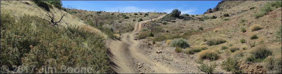
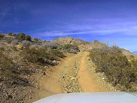
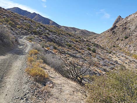
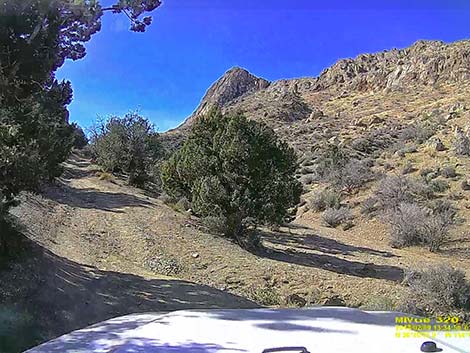
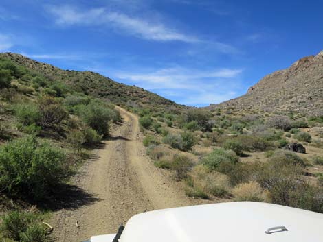
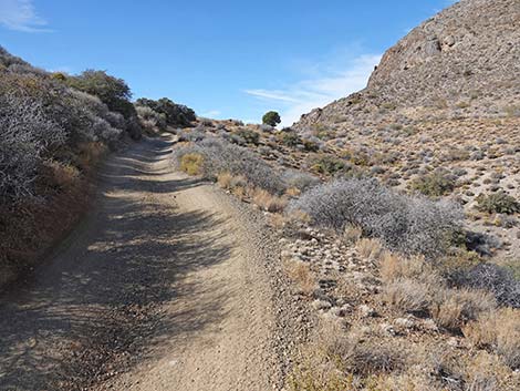
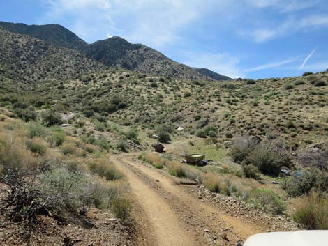
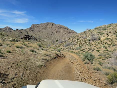
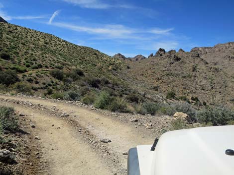
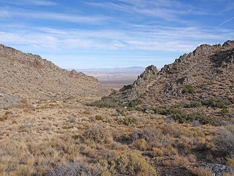
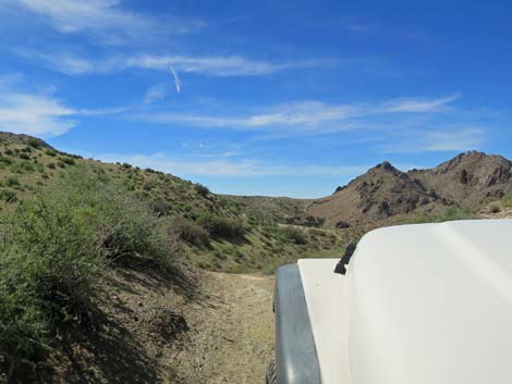
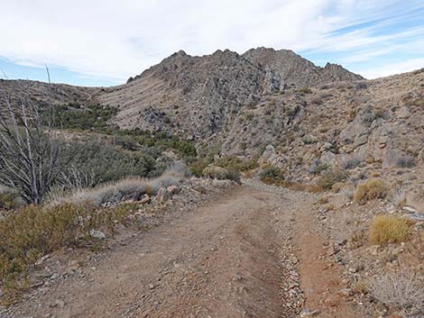
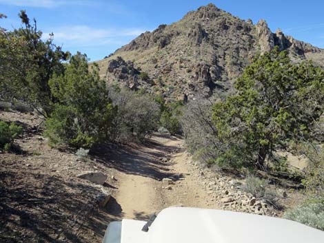
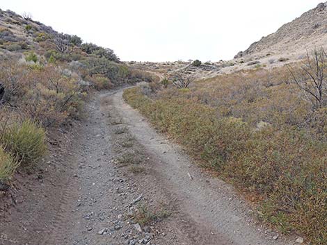
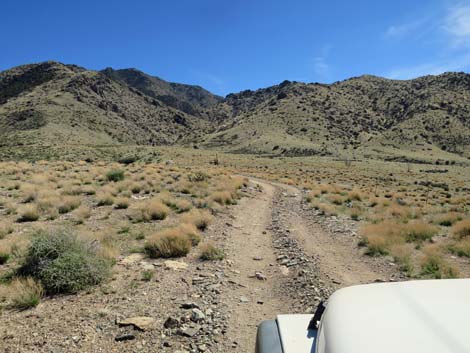
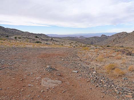
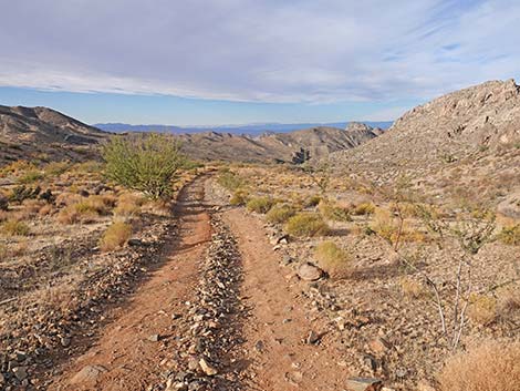
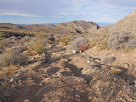
 Cabin Canyon Road approaching Hen Spring Road (view SW) |
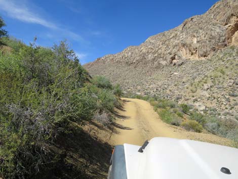
Overview Hen Spring Canyon Road is a steep, narrow, winding, and rocky 3.5-mile unmaintained dirt road off Cabin Canyon Road southeast of Mesquite that serves as the northeast boundary of Gold Butte National Monument. The road runs east-west through Hen Spring Canyon, which separates Bunkerville Ridge to the north from Cabin Spur Ridge to the south, all of which are part of the geologically jumbled north side of the Virgin Mountains. As if to underscore the geologically jumbledness of this area, Cabin Spring Canyon is actually composed of four drainage systems, which technically would be four canyons. One canyon drains to the east, two drain northward cutting through Bunkerville Ridge, and one drains to the west. Link to map. |
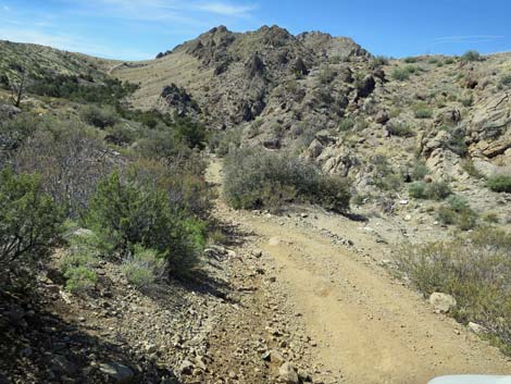
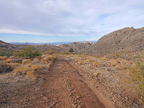
 Hen Spring Road (view NW from Cabin Canyon Road) |
This road provides ranch access to an old water development near Hen Spring (Hen Spring, proper, seems to be dry), it provides an adventurous road for ATVs and other narrow vehicles, and it provides a foot trail for the rest of us to access Beer-Can Fence (a popular hiker destination). The road also just provides access to the high-elevation and cool northeast edge of Gold Butte National Monument. This road is an adventure destination, not a way to get anywhere, at least not quickly. For people in Cabin Canyon wishing to drive over to Gold Butte Road, it is much quicker to drive back to the highway and drive around on the pavement. |
 Hen Spring Road (view N from parking near Cabin Canyon Road) |
Watch Out Other than the standard warnings about driving in the desert, ... this road is very narrow and traverses steep hillsides with long drop-offs into the canyon bottom. Many parts are narrow, rocky, or sandy enough to require a 4WD vehicle, and parts may not feel safe. Be careful on blind corners -- when you think you are the only person out there, keep in mind that the guy coming head-on is thinking the same thing. This is a wild and remote area without services of any kind (no restrooms, no water, no gas, no food). Bring what you need to survive. Be prepared and be self-reliant. Someone will find you eventually if you stay on a main road, but be prepared to survive alone for a day or two. Cell phones might work at a spot or two along this road. While visiting the area, please respect the land and the other people out there, and try to Leave No Trace of your passage. Also, this is a remote area, so be sure to bring the 10 Essentials. |
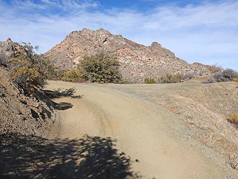
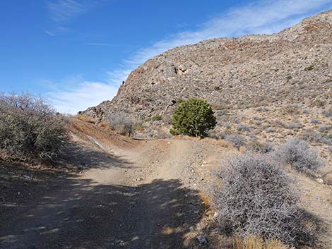
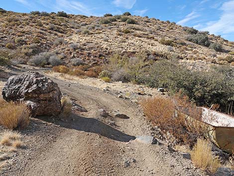
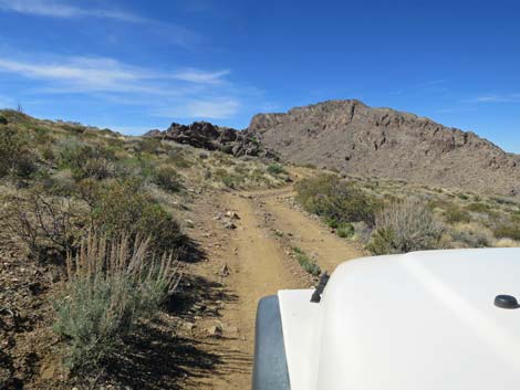
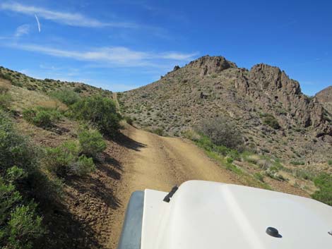
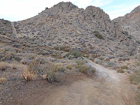
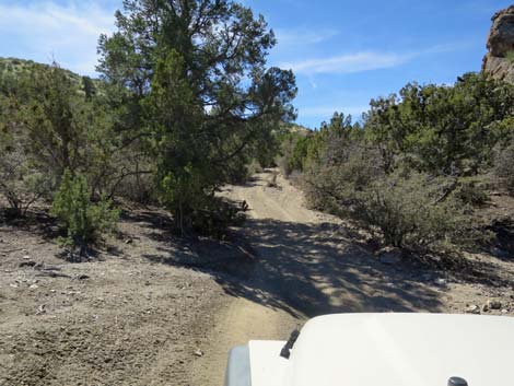
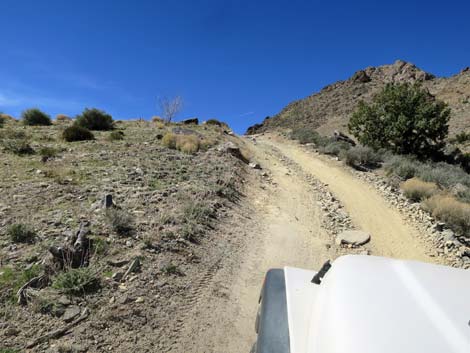
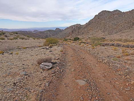
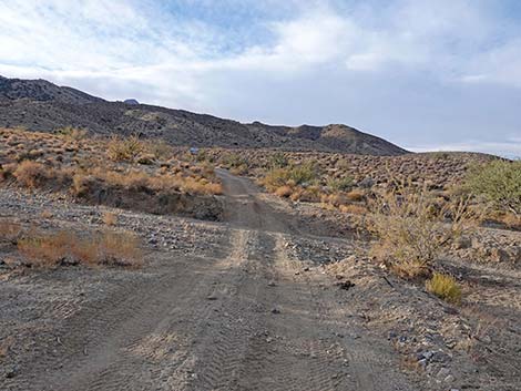
 Turning the curve past trailhead parking (view N) |
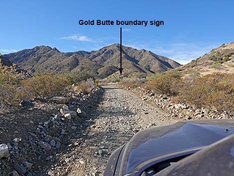
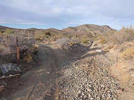
Getting to the Road Hen Spring Canyon Road is located about 2 hours east of Las Vegas, in the wild, remote, and scenic northeast edge of Gold Butte National Monument. From Las Vegas, drive out Interstate-15 to Mesquite. Take Exit 120 onto Falcon Ridge Pkwy/W Mesquite Blvd, drive "straight" through the round-about, and continue 0.8 miles to a traffic light at Riverside Road. Turn right onto Riverside and drive south 1.1 miles, just across the Virgin River, to White Rock Road, on the left. Turn onto White Rock Road and drive east, then southeast for 1.1 miles to where the pavement curves left to become Scenic Road. Here, at the bend, Lime Kiln Canyon Road continues straight southeast onto the dirt. Continue southeast on Lime Kiln Canyon Road for 2.1 miles to a cattle guard. Just past the cattle guard, the road forks. Cabin Canyon Road bends right following the powerlines south. Continue south on Cabin Canyon Road for 6.1 miles to Hen Spring Canyon Road, on the right. The intersection is marked with a Gold Butte National Monument boundary sign. |
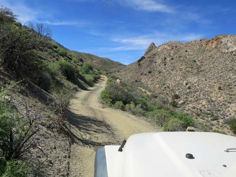
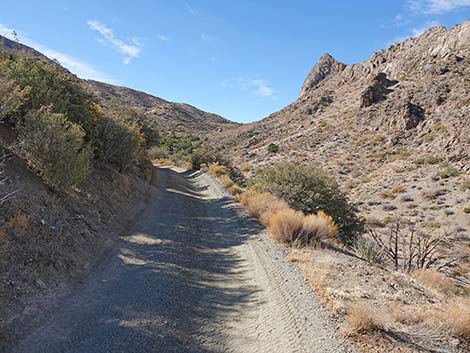
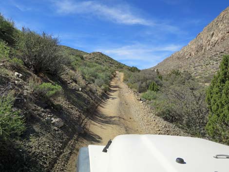
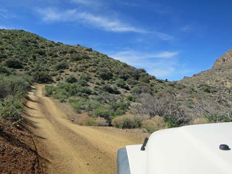
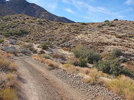
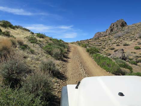
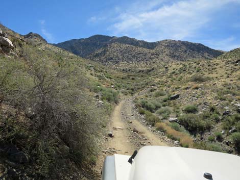
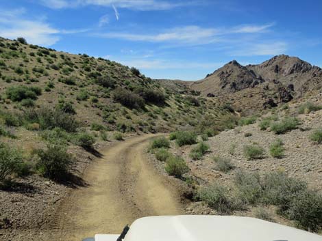
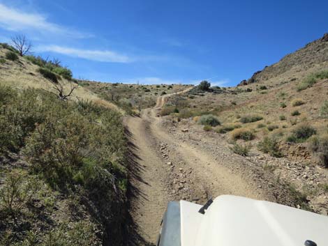
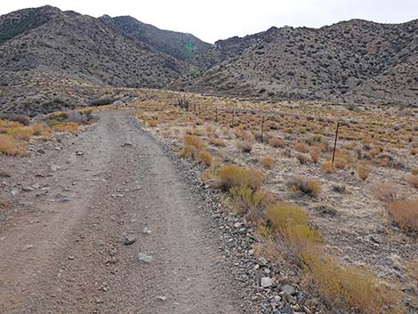
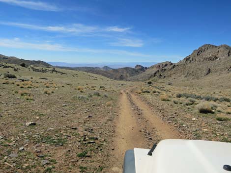
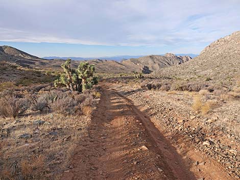
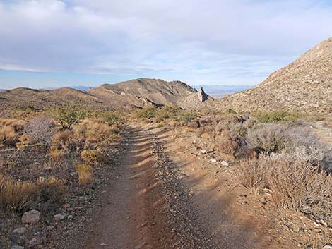
 Hen Spring Road climbs across the hillside (view N) |
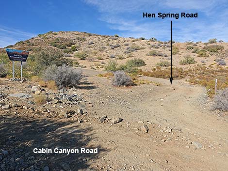
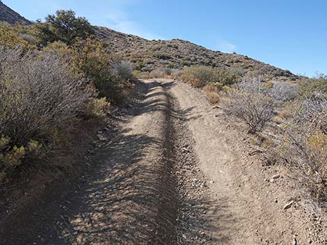
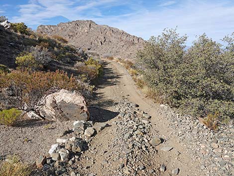
The Road From Cabin Canyon Road (Table 1, Site 1868), Hen Spring Canyon Road runs west heading up the hillside and bending to the right back towards Hen Spring Canyon. Departing Cabin Canyon Road, there is some hiker parking on the left. At about 0.1 miles out the adventure begins when the road bends sharply to the left around the ridge where the road seems to end in mid-air. Fortunately, the road curves left to climb gently and traverse the steep hillside. Brush and boulders pressing in from the uphill side of the road encourage drivers to drift a bit to the downhill side of the road, but steep drop-offs and breathless passengers encourage drivers back in the other direction; vehicles will be pin-striped. |
 Sharp curve with backup space for long vehicles (view N) |
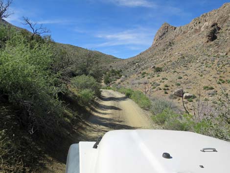
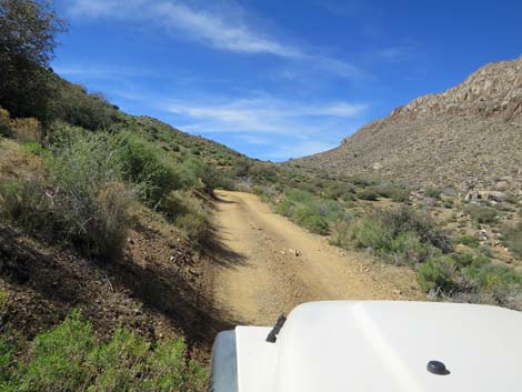
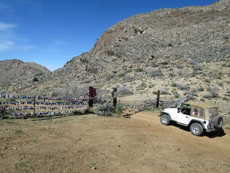
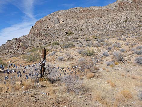
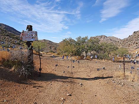
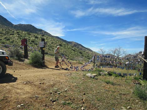
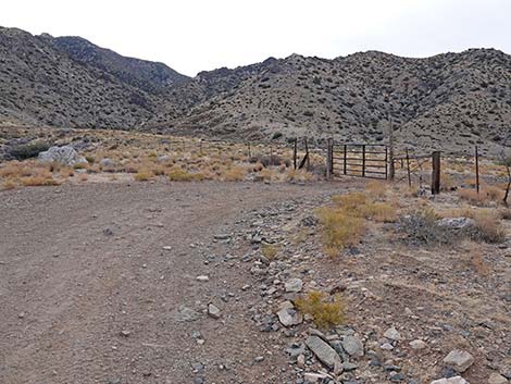
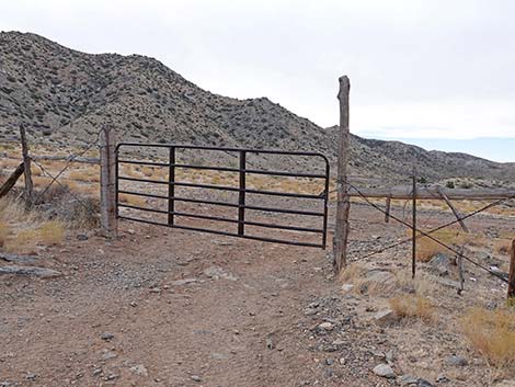
As Hen Spring Canyon Road climbs gently, the bottom of Hen Spring Canyon climbs more quickly, and at about 0.44 miles out, the two meet, but at a washout that keeps the eyes focused on the road rather than on the wash. Hen Spring Canyon Road stays on the south side of the wash and begins to climb more quickly than the canyon bottom. The road remains narrow, giving right-side passengers more nice looks into the canyon bottom, as the road winds in and out of little side canyons. At about 1.29 miles out, Hen Spring Road arrives at the first saddle, where a gated fence stretches across the canyon from cliff to cliff. This fence, Beer-Can Fence, is a popular hiker destination; a place where hikers bring a beer and hang the empty can on the fence. In a stiff breeze, the jingling and jangling makes quite a melodious racket. |
 Turning the sharp curve (view SW) |
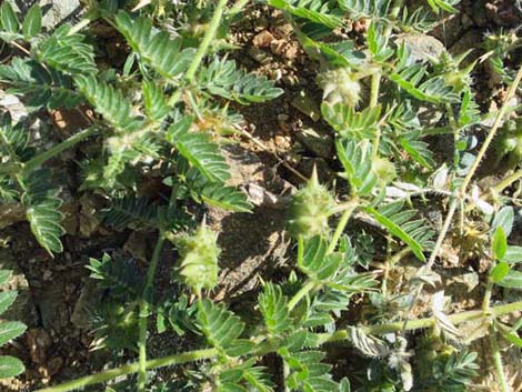
While this is a fun community activity, there are unfortunately more cans on the ground and down the canyon than there are on the fence. Hikers sometimes do this as a loop-hike by heading back down the wash to the trailhead. Sadly, puncturevine is getting established at the fence. If you see this noxious weed, pull it out -- pull it all out! And pack it out so it doesn't spread. When passing the wire-fence gate, be sure to leave it as found: either open or closed. Continuing, the road generally runs along the contour, but as the canyon bottom drops away, water in this area drains to the west and then out to the north. |
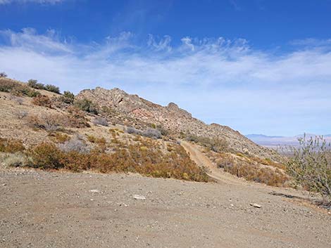
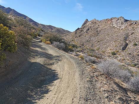
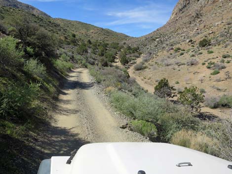
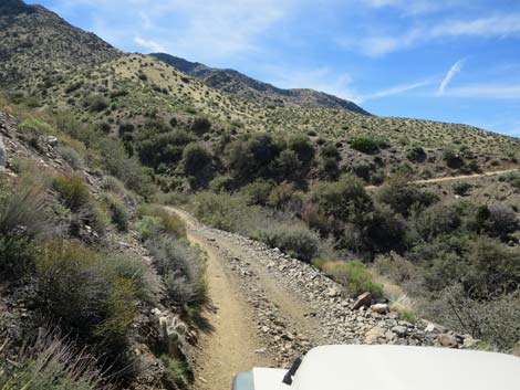
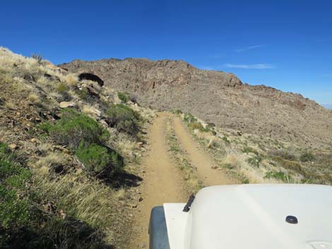
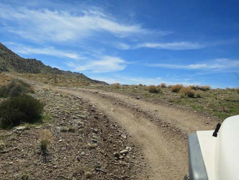
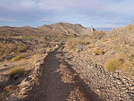
 Winding up across the steep slopes of Cabin Spur Ridge (view SW) |
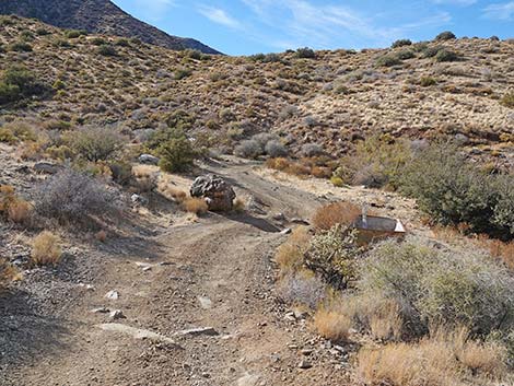
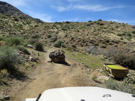
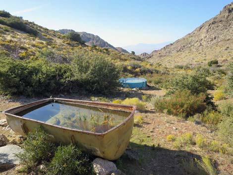
At about 1.58 miles out, Hen Spring Canyon Road arrives at a huge boulder in the roadway and a cattle watering trough on the right. Drivers must now squeeze between the boulder and the watering trough while hoping to not slide sideways down the hillside. The road continues westward winding in and out of each little side canyon following the contour. At about 2.0 miles out, in a gully below the road, the now-dry Hen Spring sits silently like so many of the other springs in the Gold Butte region. Shortly past Hen Spring, a gap in Bunkerville Ridge to the right provides a window upon the world to the north with nice views down on the west side of Mesquite. This is where water in this area escapes to the north. Beyond this point until the next ridgeline, water flows east, then north through the gap in Bunkerville Ridge. |
 Hen Spring Road (view SW) |
At about 2.4 miles out, the road contours across very steep hillside to cross a major wash coming down from Cabin Spur Ridge. Climbing out, the road goes on to cross a fairly steep ridge (although not visible from the driver's seat, the road continues straight over the top), then drops into another gully. Climbing out of the gully, the road climbs to cross another ridgeline (as before, the road continues straight over; 2.7 miles out). Although not obvious, this ridge marks the end of the second drainage system. Continuing west and descending over the ridge into the next gully, the road begins to traverse hillsides of the third drainage system. Here, water drains northwest through a second gap in Bunkerville Ridge. |
 Hen Spring Road (view SW) |
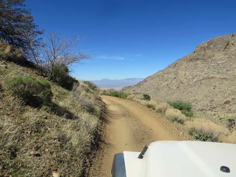
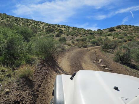
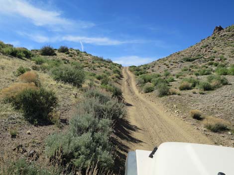
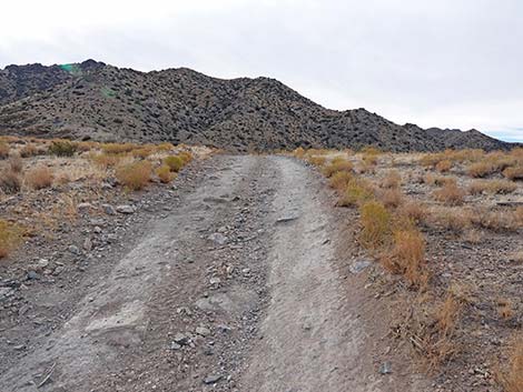
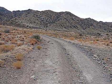
The road descends into the next gully, rather steeply at times, with a few large rocks to avoid, and arrives in an area of shrub live oak, singleleaf pinyon pine, and Utah juniper forest that seems to have survived historical fires in these mountains. After passing a low point in the sandy wash, the road begins to climb towards the next high ridgeline. Some of this area was badly washed out during summer storms of 2017. Navigating between trees, rocks, and erosion ditches, the road climbs gently until a final steep finale onto the next ridgeline. This ridgeline separates the previous drainage system from the next. Unfortunately, tumbleweeds have invaded this remote area. Atop the broad ridge, the road encounters a barbed-wire fence and curves left to head south to a gate. Passing through the gate, the road runs west descending at a gentle grade (with a few washouts for interest) until intersecting with Seeps Canyon Road, which is the old Arrowhead Highway. |
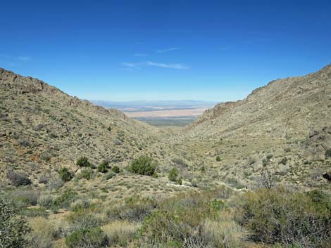
 Looking across at the steep slopes of Bunkerville Ridge (view SW) |
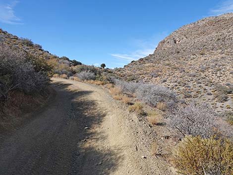
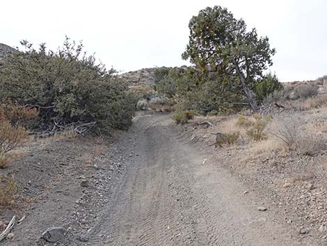
 The road and the canyon bottom meet just ahead (view SW) |
 Hen Spring Road approaching the low point (view SW) |
 Hen Spring Road meets wash at the low point (view SW) |
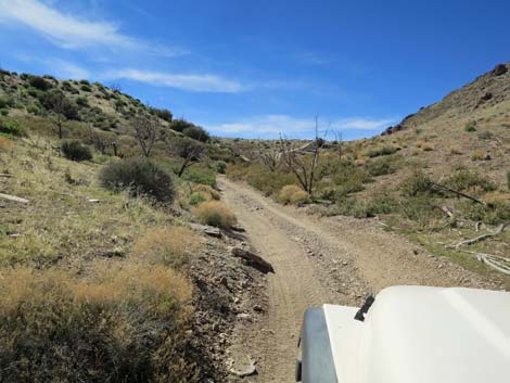
 The road resumes climbing across the steep hillside (view SW) |
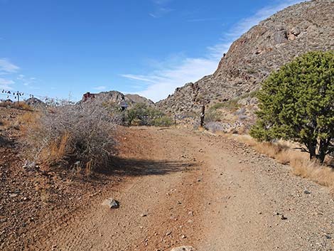
 Hen Spring Road approaching a memorial (view SW) |
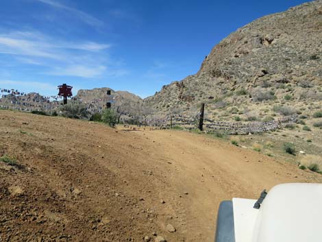
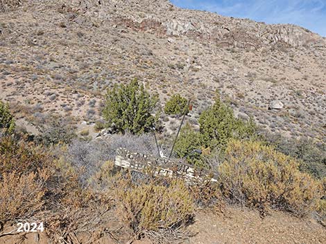 Memorial along the road (view NW) |
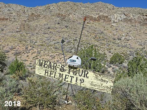 Wear's Your Helmet? In Loving Memory of Barney 2-5-57 to 10-10-07 |
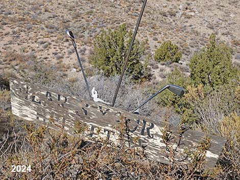 Wear's Your Helmet? |
 Winding across the steep hillside (view W) |
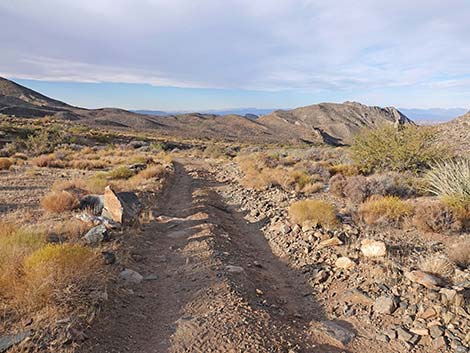
 Climbing towards the first saddle (view SW) |
 Winding up the hillside (view SW) |
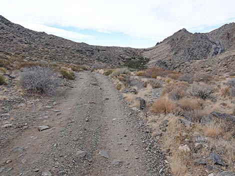
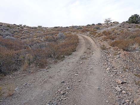
 Trenched road (view SW) |
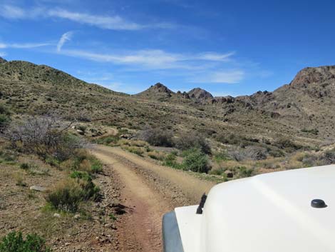
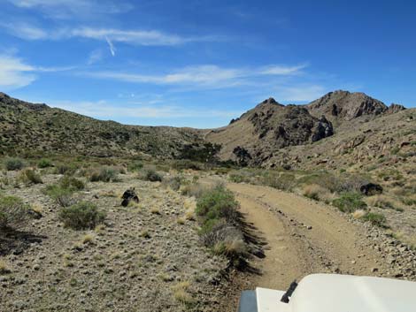
 Winding up across the hillside (view SW) |
 The saddle comes into view (view W) |
 Hen Spring Road (view W) |
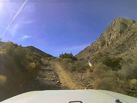
 Approaching the first saddle (view W) |
 Hen Spring Road arriving at the saddle (view NW) |
 Beer Can Fence comes into view (view NW) |
 Hen Spring Canyon Road approaching Beer-Can Fence (view WNW) |
 Hen Spring Canyon Road at Beer-Can Fence (view NW) |
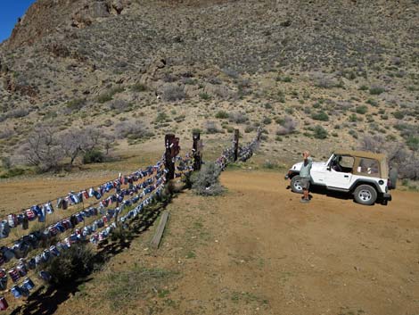 Hen Spring Canyon Road at Beer-Can Fence (view NW) |
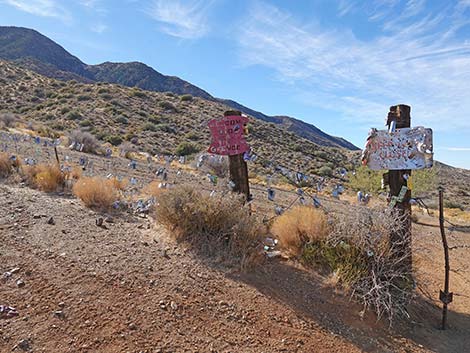 Signs on Beer Can Fence (view SW) |
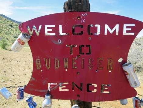 Apparently also called Budweiser Fence (view SW) |
 Beer cans on the fence (view NW) |
 Beer cans on the wire-fence gate (view SW) |
 Opening the wire-fence gate (view SW) |
 Sadly, Puncturevine is getting established at the fence |
 Hen Spring Canyon Road continuing past Beer-Can Fence (view SW) |
 Hen Spring Road approaching Hen Spring water troughs (view SW) |
 Boulder and cattle watering trough (not Hen Spring; view SW) |
 Boulder and cattle watering trough (not Hen Spring; view SW) |
 It's a squeeze between the boulder and the trough (view W) |
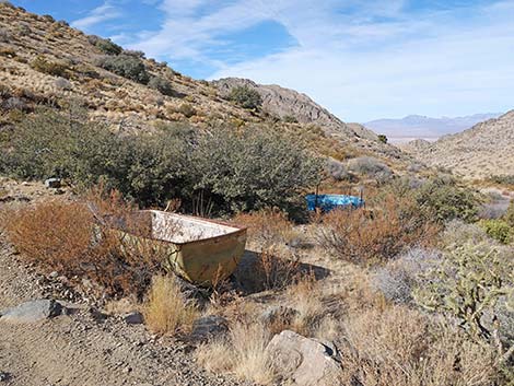 Watering troughs (view W) |
 Watering troughs used to hold water (view W) |
 Winding across the hillside (view NW) |
 Winding up across the hillside (view NW) |
 Another boulder making a tight spot for wide vehicles (view NW) |
 Winding up across the hillside with big sagebrush (view W) |
 Don't drift to the right! (view S) |
 Hen Spring (dry) was down over the edge here (view SW) |
 Gap in Bunkerville Ridge (view N from Hen Spring Road) |
 West edge of Mesquite (view N from Hen Spring Road) |
 Climbing gently across the hillside (view W) |
 Descending gently across the hillside (view SW) |
 Another look down the canyon (view N) |
 Tight bit of road with a drop-off (view S) |
 Traversing open hillside (view NW) |
 Tilted sideways climbing towards a little saddle (view W) |
 Still tilted sideways descending past a little saddle (view W) |
 Steep descent over sandy bedrock (view W) |
 Climbing somewhat steeply across hillside (view SW) |
 Climbing steeply towards a saddle (view SW) |
 Always hoping the road continues straight (view SW) |
 Descending into the next canyon, which drains north (view SW) |
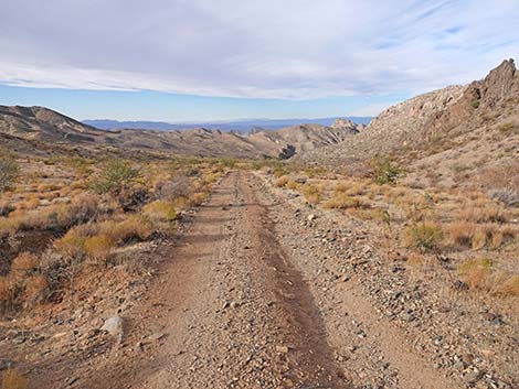
 Hen Spring Road (view SW) |
 Traversing rolling hillside (view SW) |
 Hen Spring Road descending into the next canyon (view W) |
 Descending rather steeply (view W) |
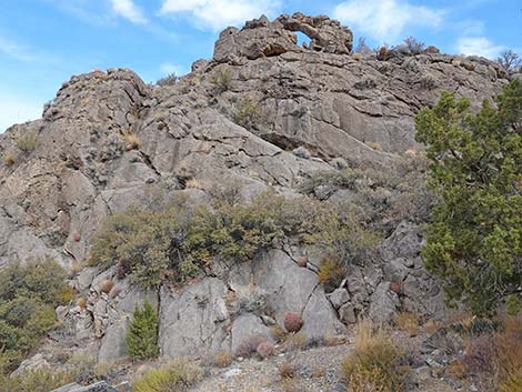 Hen Spring Canyon arch (view N) |
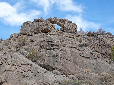 Hen Spring Canyon arch (view N) |
 A patch of tree presses in on the sides of the road (view W) |
 Low point in this canyon with trees (view SW) |
 Hen Spring Road approaching the last tree (view SW) |
 Beginning to climb towards the final saddle (view SW) |
 Hen Spring Road approaching the last steep climb (view SW) |
 Climbing rather steeply (view SW) |
 Hen Spring Road climbing the last steep climb (view W) |
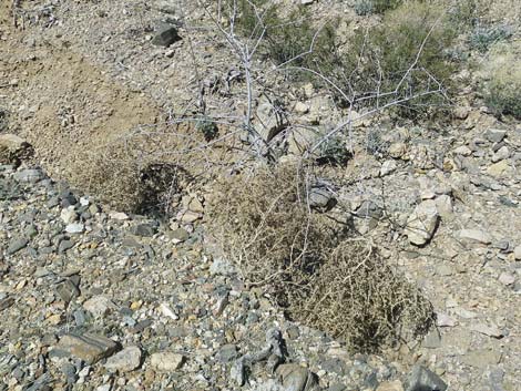 Darn! Tumbleweeds have invaded this remote area |
 Climbing quite steeply (view SW) |
 Hen Spring Road approaching the final saddle (view W) |
 Hen Spring Road climbing onto the final saddle (view S) |
 Hen Spring Road atop the final saddle (view SE) |
 Crossing the ridgeline at the head of the next canyon (view SE) |
 Hen Spring Road runs along fence line (view SE) |
 Hen Spring Road approaching gate atop the saddle (view S) |
 Gate in the fenceline on the ridge (view SW) |
 Hen Spring Road passing through the gate (view W) |
 Descending towards the next adventure (view W) |
 Hen Spring Road descending into the final canyon (view W) |
 Hen Spring Road (view W) |
 Hen Spring Road (view SW) |
 Hen Spring Road (view SW) |
 Hen Spring Road approaching an Eastern Joshua Tree (view SW) |
 Hen Spring Road (view SW) |
 Hen Spring Road at a rocky spot (view SW) |
 Hen Spring Road (view W) |
 Hen Spring Road (view W) |
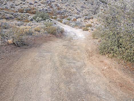
 Hen Spring Road forks to form a triangle intersection (view W) |
 Hen Spring Road staying left on the better fork (view SW) |
 Hen Spring Road merging onto Dudd Road (view S) |
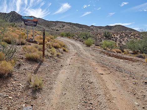
 Hen Spring Road at Gold Butte boundary sign (view S) |
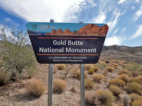 Gold Butte National Monument boundary sign (view S) |
 More to come ... |
Table 1. Highway Coordinates Based on GPS Data (NAD27; UTM Zone 11S). Download Highway GPS Waypoints (*.gpx) file.
| Site | Location | UTM Easting | UTM Northing | Latitude (N) | Longitude (W) | Elevation (ft) |
|---|---|---|---|---|---|---|
| 1868 | Cabin Canyon Road at Hen Spring Road | 761987 | 4062204 | 36.67123 | 114.06855 | 3,688 |
| 1873 | Hen Spring Canyon Road at Beer-Can Fence | 760314 | 4061755 | 36.66765 | 114.08740 | 4,221 |
| 1874 | Hen Spring Canyon Road at Watering Trough | 759972 | 4061539 | 36.66580 | 114.09130 | 4,140 |
| 1875 | Hen Spring Canyon Road above Hen Spring (dry) | 759499 | 4061426 | 36.66491 | 114.09661 | 4,081 |
| 1876 | Hen Spring Canyon Road at Gate | 757853 | 4060468 | 36.65673 | 114.11534 | 4,284 |
| 1877 | Hen Spring Canyon Road at Seeps Canyon Road | 756552 | 4059995 | 36.65282 | 114.13003 | 3,857 |
Happy Hiking! All distances, elevations, and other facts are approximate.
![]() ; Last updated 241130
; Last updated 241130
| Hiking Around Gold Butte | Hiking Around Las Vegas | Glossary | Copyright, Conditions, Disclaimer | Home |