Backroads Around Las Vegas, Basin and Range
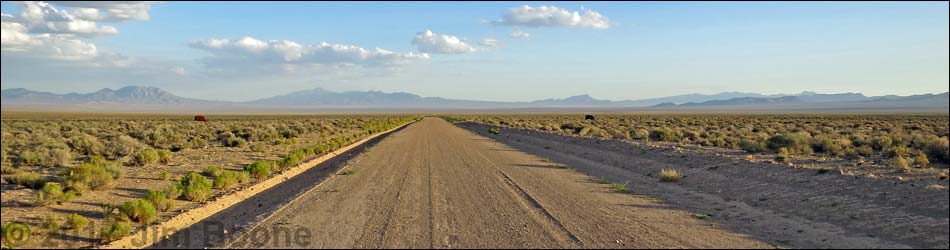
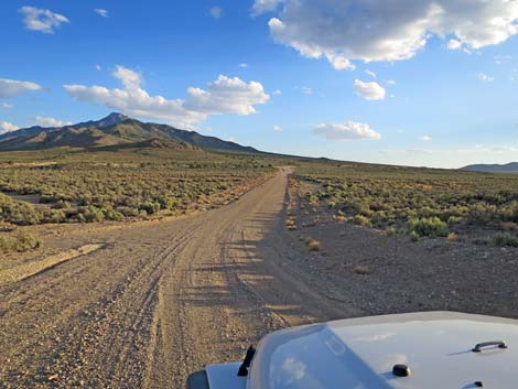
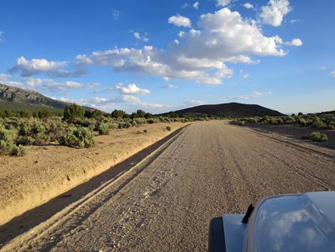
 Mail Summit Road approaching Shadow Road-S (view N) |
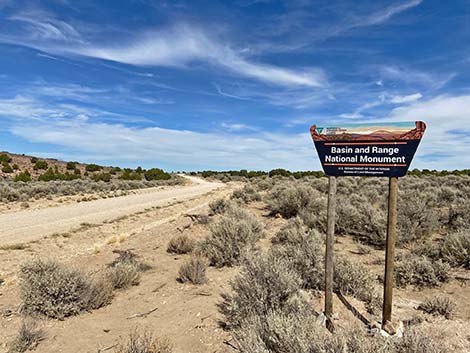
Overview Shadow Road runs south from Mail Summit Road in western Garden Valley south to Highway 375 near the town of Rachel. The road runs over the north edge of the Worthington Range, then runs south along the west side of the Worthington Range in Sand Spring Valley. The road usually is well-maintained dirt and normally is suitable for 2WD vehicles. Heading west, this is the quickest way to exit Basin and Range National Monument. Presented here are photos of the road heading southbound from Garden Valley (Mail Summit Road) to Highway 375. For details of the road, including GPS coordinates and distances, see Shadow Road - Northbound. Link to Road Map. |
 Mail Summit Road at Shadow Road-S (view N) |
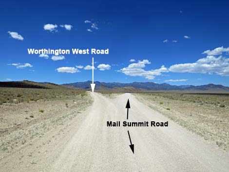
 Mail Summit Road at Shadow Road-N (view S) |
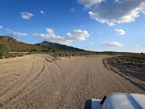
 Departing Mail Summit Road-N in Garden Valley (view SW) |
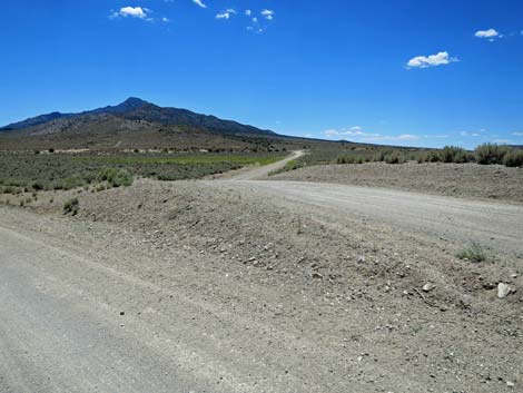
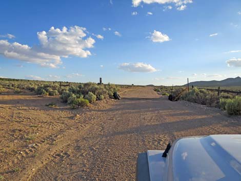
 Road stays right at triangle intersection from Mail Summit Rd |
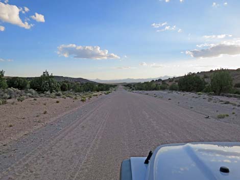
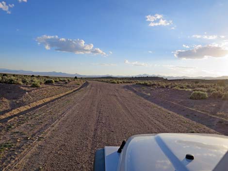
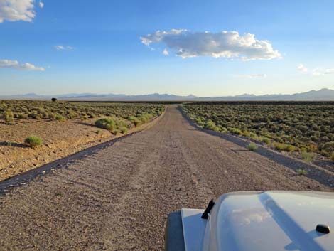
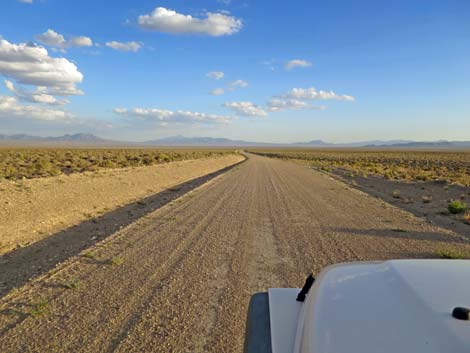
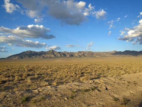
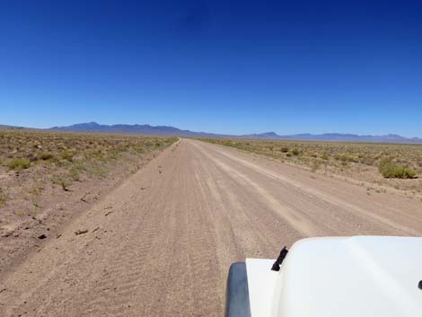
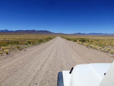
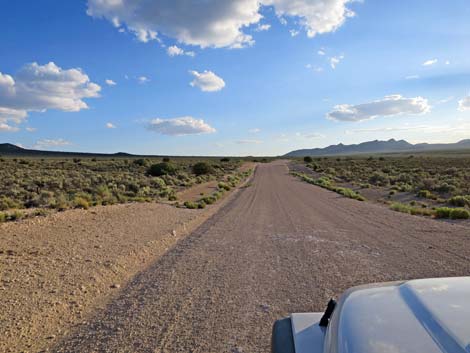 Broad open valley (view SW) |
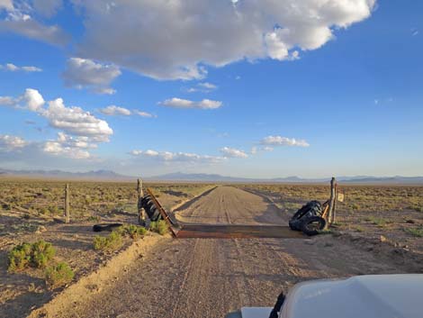
 Cattle guard |
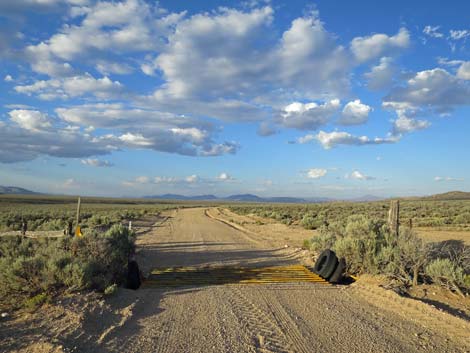 Another cattle guard |
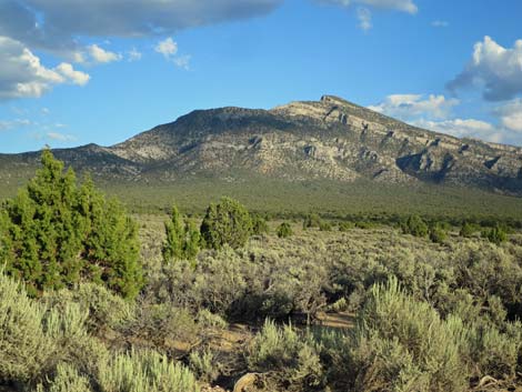
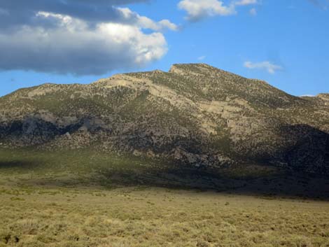
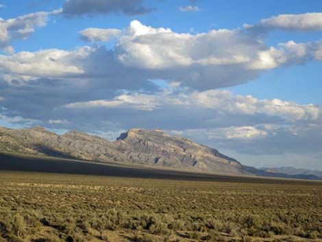
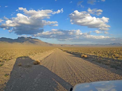
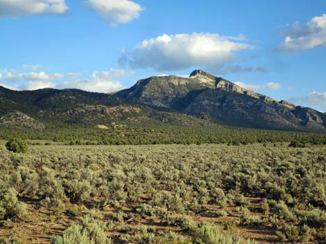 Worthington Peak (view SE) |
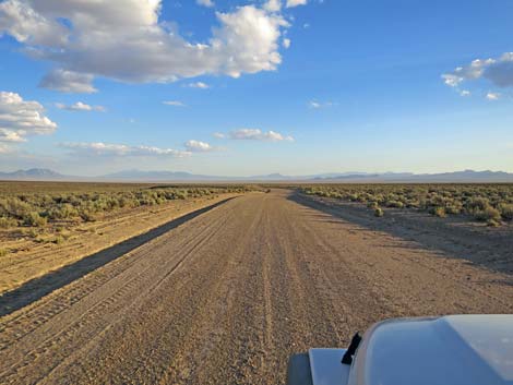
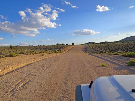 Broad open valley (view SW) |
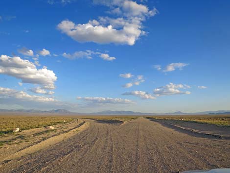
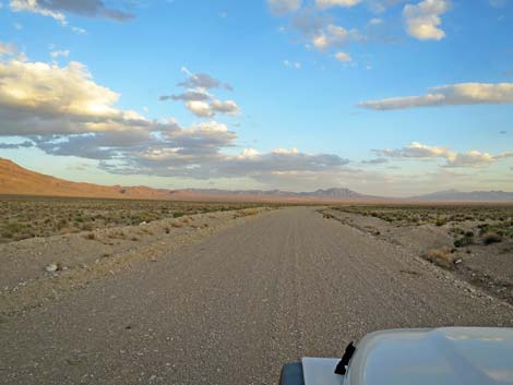
 Shadow Road |
 |
 |
 Shadow Road descending over the mountains (view SW) |
 Looking back: exiting Basin and Range National Monument (view NE) |
 Shadow Road stays left a fork ahead (view S) |
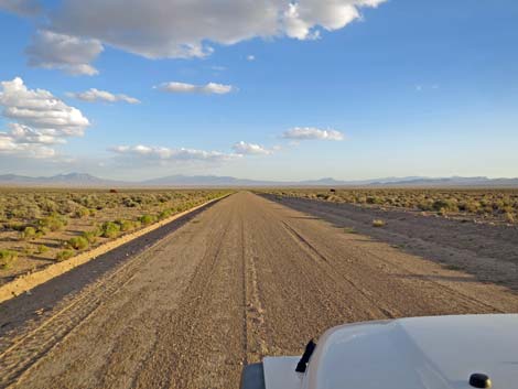
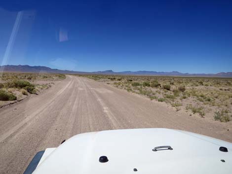
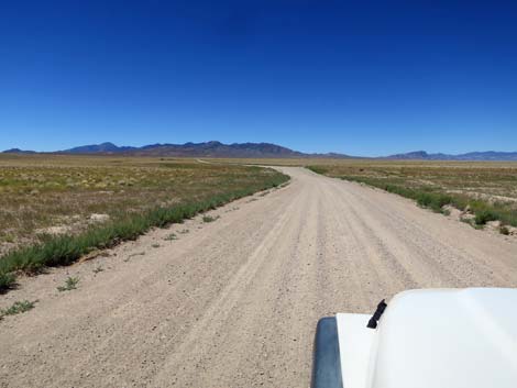
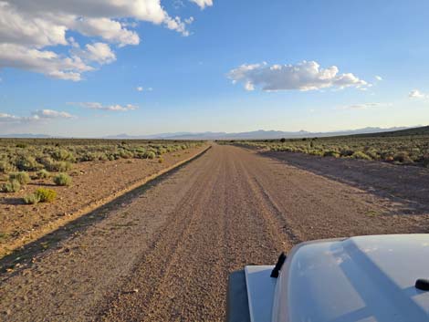 Broad open valley (view S) |
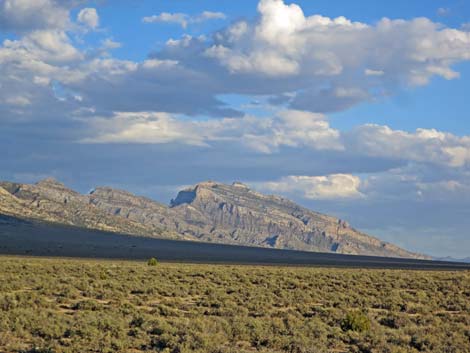 High peaks at south end of Worthington Range (view SE) |
 Worthington Range (view E) |
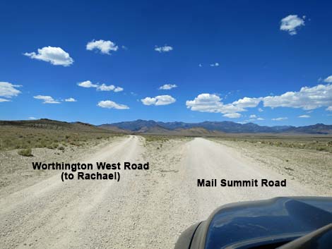
 Worthington West Road (view S) |
 |
 |
 Worthington West Road (view S) |
 Another cattle guard |
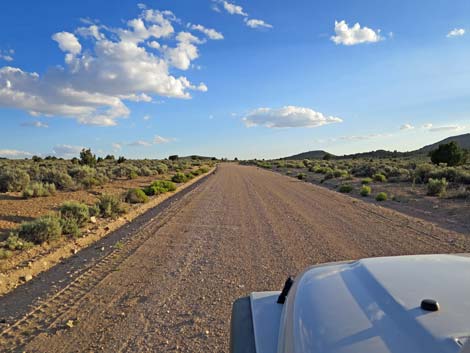
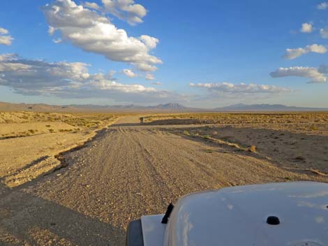
 Broad, open desert flats (view S) |
 Both forks go to Highway 375; Shadow Road goes left to continue E |
 High peaks at south end of Worthington Range (view SE) |
 North end of the Worthington Range (view E) |
 Both forks go to Highway 375; Shadow Road goes left to continue E |
 Sunset in the broad, open desert (view SE) |
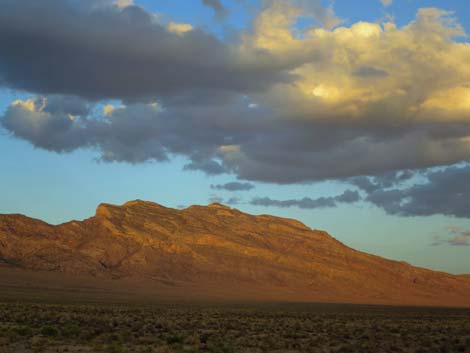 High peaks of the Worthington Range at sunset (view E) |
 Wide open flats in Sand Spring Valley (view S) |
 Wide open flats in Sand Spring Valley (view S) |
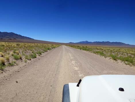 Wide open flats in Sand Spring Valley (view S) |
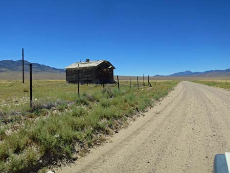
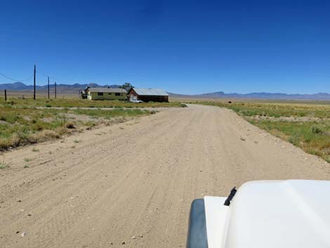 Approaching historical Sand Spring Valley residence (view S) |
 Another historical Sand Spring Valley residence (view S) |
 Wide open flats in Sand Spring Valley (view S) |
 Wide open flats in Sand Spring Valley (view S) |
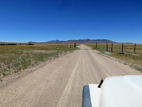 Cattle guard and fenceline (view S) |
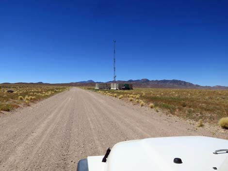 Cell tower on the right (now gone; view S) |
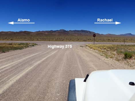 Shadow Road approaching Highway 375 (view S) |
Happy Hiking! All distances, elevations, and other facts are approximate.
![]() ; Last updated 241124
; Last updated 241124
| Basin and Range | Backroads | Hiking Around Las Vegas | Glossary | Copyright, Conditions, Disclaimer | Home |